Alpraham
Civil Parish in Cheshire
England
Alpraham

Alpraham is a civil parish located in the county of Cheshire, England. It is situated in the unitary authority of Cheshire East and falls within the ceremonial county of Cheshire. The parish covers an area of approximately 7.3 square kilometers.
The village of Alpraham is located in the heart of the parish and is surrounded by beautiful countryside, making it an attractive rural area. The village itself has a small population, with the 2011 census recording around 250 residents.
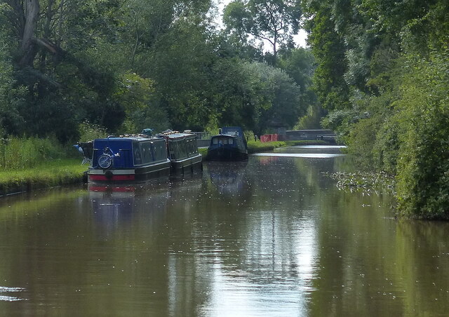
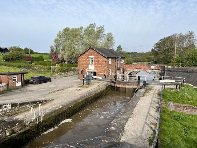
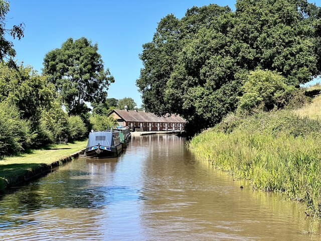
Alpraham is known for its picturesque landscapes, with rolling hills, farmlands, and meadows dominating the area. The village is characterized by traditional Cheshire architecture, with historic buildings and stone cottages lining the streets.
The local economy is largely based on agriculture, with farming playing a significant role in the parish. The surrounding farmlands produce a variety of crops and livestock, contributing to the rural charm of the area.
Despite its small size, Alpraham offers some amenities to its residents and visitors. There is a village hall that hosts community events and gatherings, providing a hub for social activities. Additionally, there is a primary school, providing education to the local children.
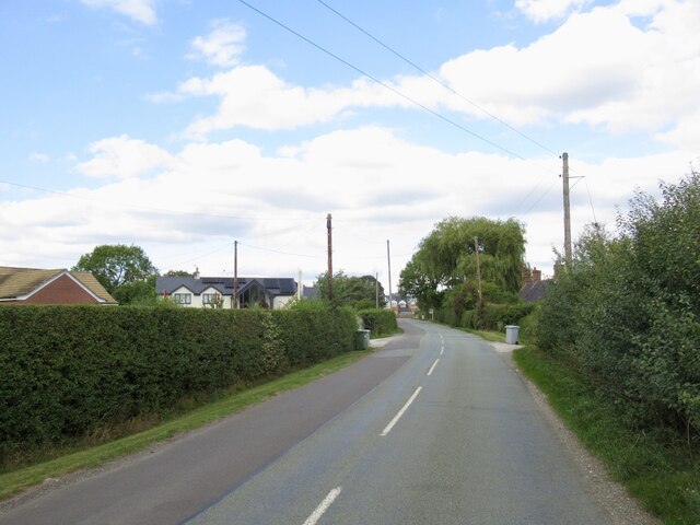
Alpraham is well-connected to neighboring towns and cities, with good road links to nearby locations such as Nantwich and Chester. The village is also within close proximity to the A51 road, which further enhances its accessibility.
Overall, Alpraham is a charming rural parish with a tight-knit community, offering a peaceful and idyllic lifestyle amidst the beautiful Cheshire countryside.
If you have any feedback on the listing, please let us know in the comments section below.
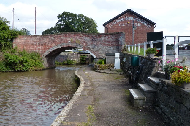
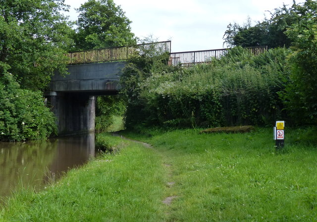
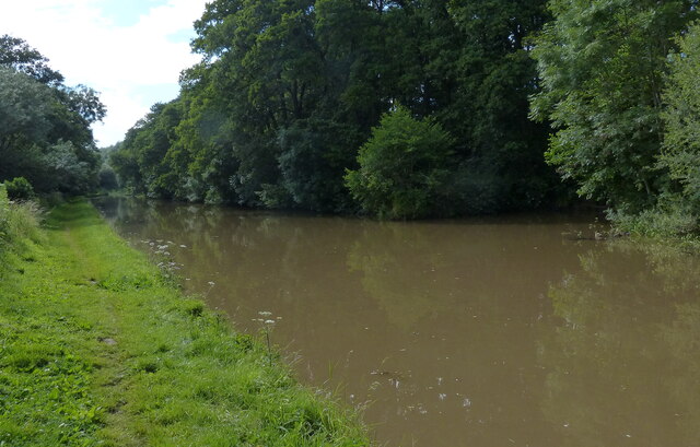
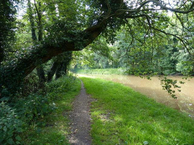
Alpraham Images
Images are sourced within 2km of 53.138141/-2.618238 or Grid Reference SJ5860. Thanks to Geograph Open Source API. All images are credited.


Alpraham is located at Grid Ref: SJ5860 (Lat: 53.138141, Lng: -2.618238)
Unitary Authority: Cheshire East
Police Authority: Cheshire
What 3 Words
///civil.epidemics.types. Near Tiverton, Cheshire
Nearby Locations
Related Wikis

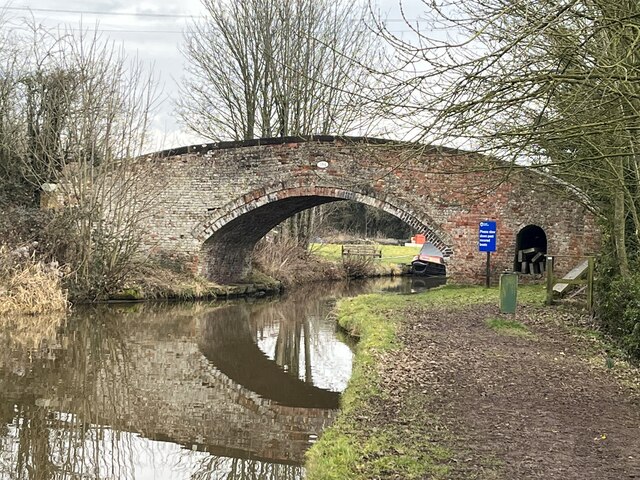
Alpraham
Alpraham is a village and former civil parish, now in the parish of Alpraham and Calveley, in the Cheshire East district, in the ceremonial county of Cheshire...
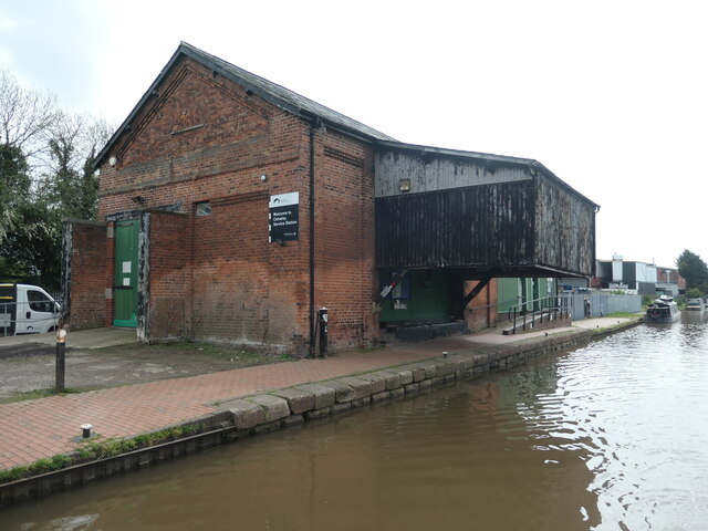
Travellers Rest, Alpraham
The Travellers Rest is a public house at Alpraham, near Tarporley, in Cheshire, England. It is on the Campaign for Real Ale's National Inventory of Historic...

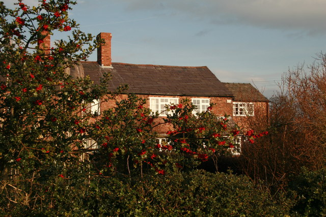
Barrets Green
Barrets Green is a small settlement in the unitary authority of Cheshire East and the ceremonial county of Cheshire, England. It lies on the A51 (Nantwich...
Calveley
Calveley is a village and former civil parish, now in the parish of Alpraham and Calveley, in the unitary authority area of Cheshire East and the ceremonial...

Calveley railway station
Calveley railway station (originally Highwayside) was located in the centre of the small village of Calveley, Cheshire, England. == History == Opened 1...
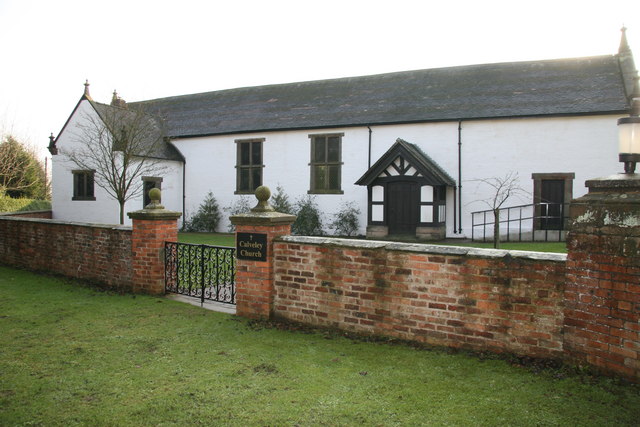
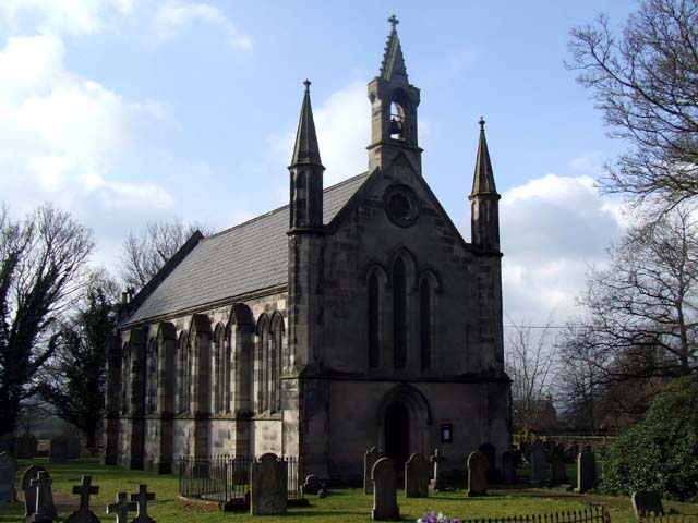
Calveley Church
Calveley Church is in the village of Calveley, Cheshire, England. It is an active Anglican church in the parish of St Boniface, Bunbury, the deanery of...

Tilstone Lodge
Tilstone Lodge is a country house in the parish of Tiverton and Tilstone Fearnall, Cheshire, England. It was built between 1821 and 1825 for Admiral John...
Tilstone Fearnall
Tilstone Fearnall is a village and former civil parish, now in the parishes of Tiverton and Tilstone Fearnall, in the Cheshire West and Chester district...
Nearby Amenities
Located within 500m of 53.138141,-2.618238Have you been to Alpraham?
Leave your review of Alpraham below (or comments, questions and feedback).