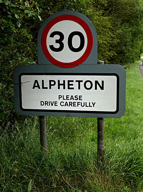
Alpheton

Civil Parish in Suffolk Babergh

England

Alpheton

A134 looking north A route from Colchester to King's Lynn, next major place, Bury St Edmunds. A 30 limit applies here for Alpheton.
A134 looking north Credit: Robin Webster

Alpheton is a civil parish located in the county of Suffolk, England. Situated in the Babergh district, it is a small village with a population of around 300 residents. The parish covers an area of approximately 7.6 square kilometers.

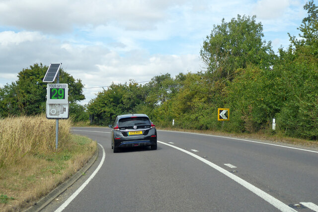
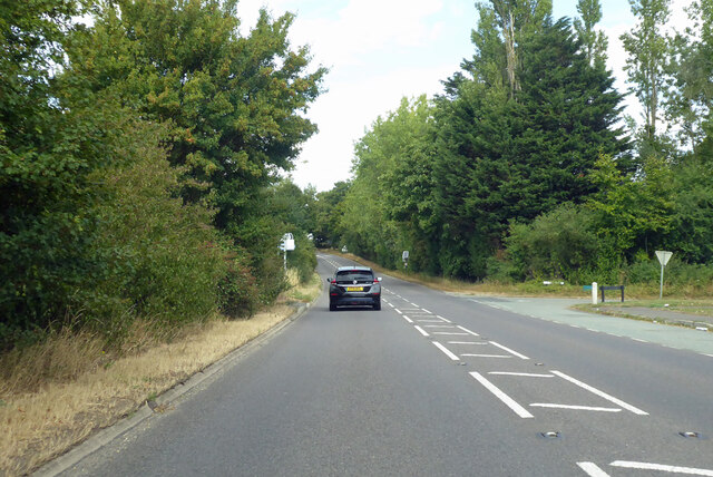
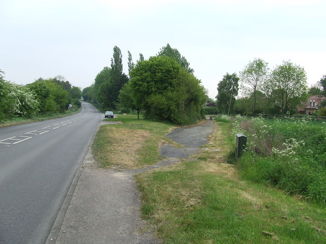
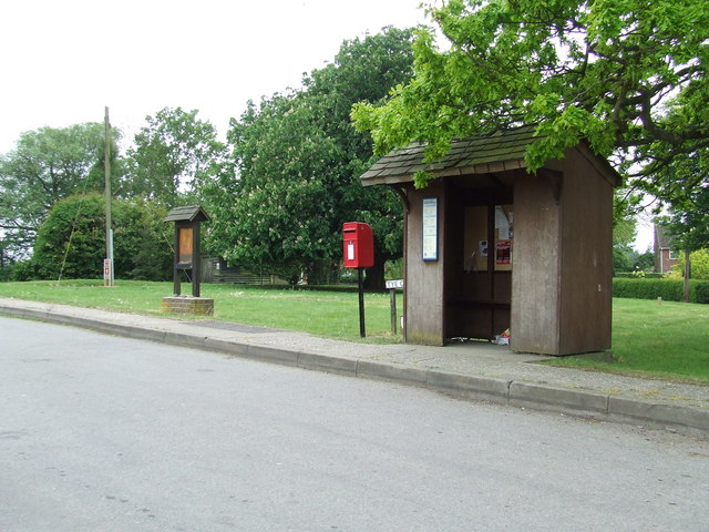
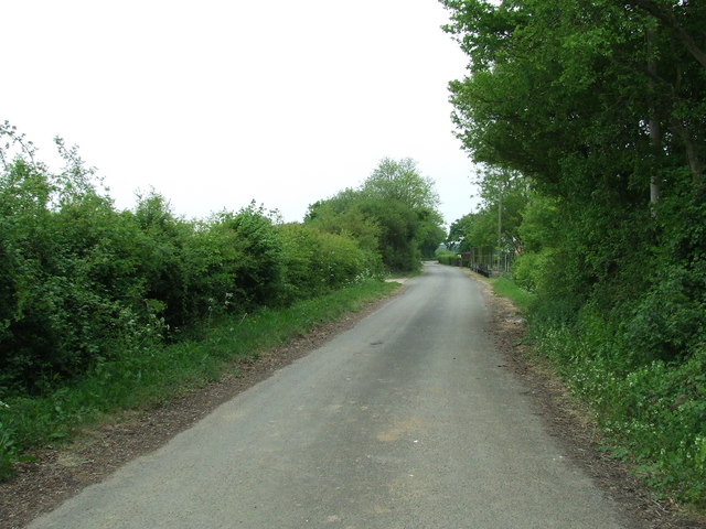
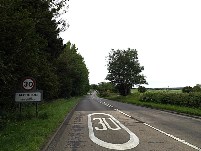
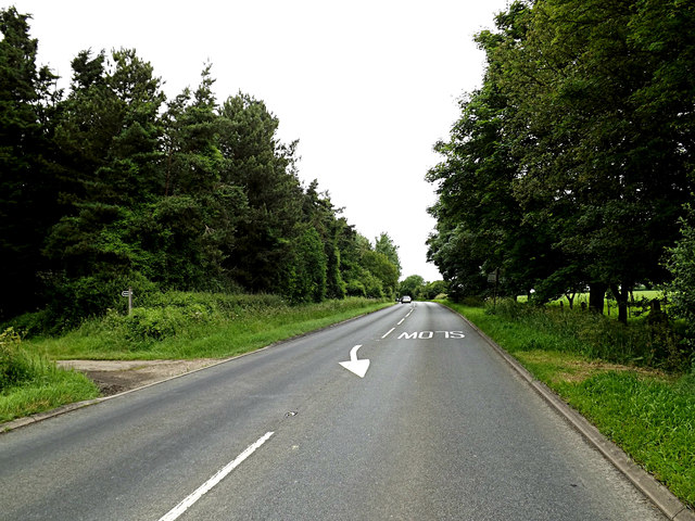
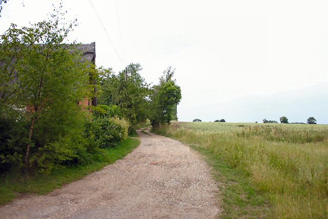
The village of Alpheton is nestled in the picturesque Suffolk countryside, surrounded by rolling hills and farmland. It is located about 1.5 miles northeast of the market town of Sudbury and 20 miles west of the county town of Ipswich. The village is accessible via the A134 road, which runs through its center.

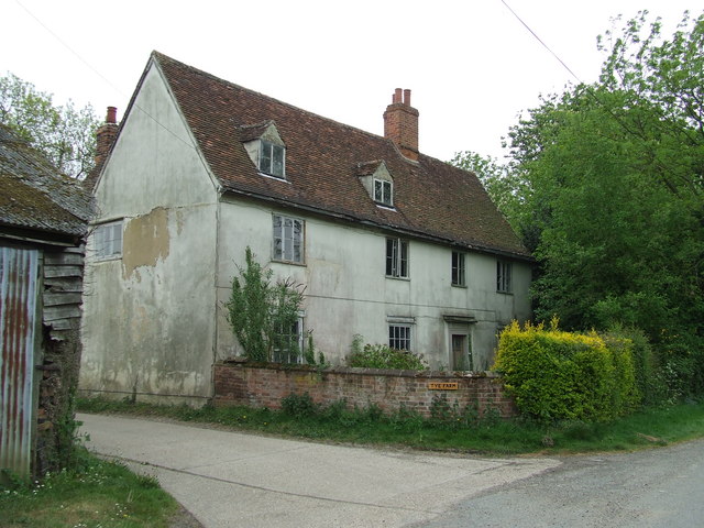
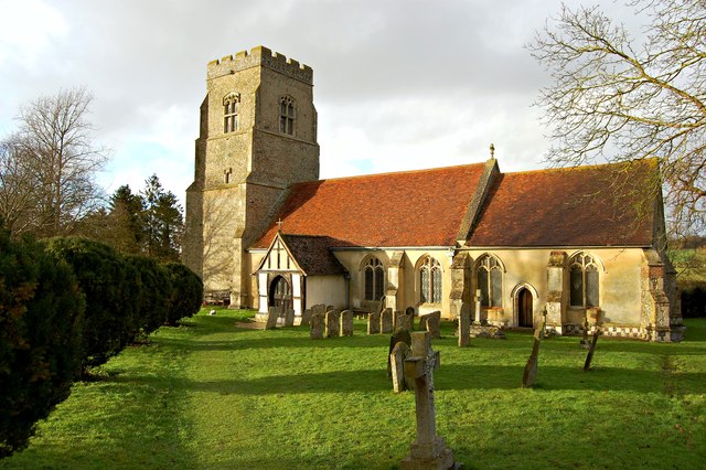
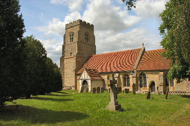
Alpheton is known for its rural charm and its historic buildings. The All Saints Church, a Grade I listed building, dates back to the 14th century and is a prominent feature of the village. Other notable buildings include Alpheton Hall and Alpheton Lodge, both of which are listed as Grade II.

Despite its small size, Alpheton has a strong sense of community. The village has a local pub, The Fox Inn, which serves as a social hub for residents and visitors alike. There is also a village hall that hosts various community events and activities throughout the year.

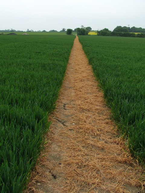
The surrounding countryside offers plenty of opportunities for outdoor activities such as walking, cycling, and horse riding. The area is also popular with birdwatchers and nature enthusiasts due to its diverse wildlife and tranquil landscapes.

Overall, Alpheton is a charming and peaceful village, offering a quiet retreat for those seeking a rural escape in the heart of Suffolk.

If you have any feedback on the listing, please let us know in the comments section below.
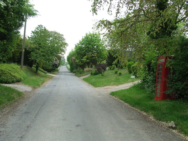
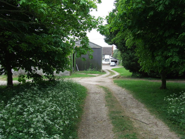
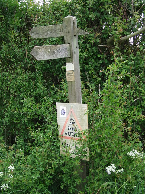
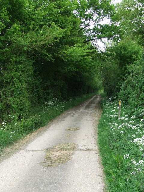
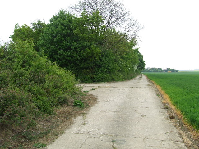
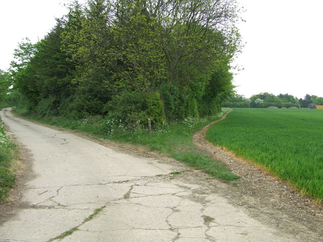
Alpheton Images

Images are sourced within 2km of 52.122717/0.751051 or Grid Reference TL8850. Thanks to Geograph Open Source API. All images are credited.

A134 looking north A route from Colchester to King's Lynn, next major place, Bury St Edmunds. A 30 limit applies here for Alpheton.
A134 looking north
A route from Colchester to King's Lynn, next major place, Bury St Edmunds. A 30 limit applies here for Alpheton.
A134 looking north A route from Colchester to King's Lynn, next major place, Bury St Edmunds.
A134 looking north
A route from Colchester to King's Lynn, next major place, Bury St Edmunds.
Old Road Part of the old A.134 at Alpheton, Suffolk.
Old Road
Part of the old A.134 at Alpheton, Suffolk.
The Old And The New The modern A.134 on the left and the route the old took on the right at Alpheton, Suffolk.
The Old And The New
The modern A.134 on the left and the route the old took on the right at Alpheton, Suffolk.
Old Bury Road Old Bury road at Alpheton, Suffolk.
Old Bury Road
Old Bury road at Alpheton, Suffolk.
Clapstile Farm Entering Clapstile Farm near to Alpheton, Suffolk.
Clapstile Farm
Entering Clapstile Farm near to Alpheton, Suffolk.
Footpath Sign Footpath sign near to Alpheton, Suffolk.
Footpath Sign
Footpath sign near to Alpheton, Suffolk.
Footpath Footpath near to Alpheton, Suffolk, this is part of the long distance path St.Edmunds Way.
Footpath
Footpath near to Alpheton, Suffolk, this is part of the long distance path St.Edmunds Way.
St. Edmunds Way Part of the long distance footpath St. Edmunds Way near to Alpheton, Suffolk.
St. Edmunds Way
Part of the long distance footpath St. Edmunds Way near to Alpheton, Suffolk.
Footpath Footpath to the right near to Alpheton, Suffolk.
Footpath
Footpath to the right near to Alpheton, Suffolk.
Brown And Green Footpath near to Alpheton, Suffolk.
Brown And Green
Footpath near to Alpheton, Suffolk.
Tye Farm Tye Farm at Alpheton, Suffolk.
Tye Farm
Tye Farm at Alpheton, Suffolk.
Bus Shelter Bus shelter, post box village sign at Alpheton, Suffolk
Bus Shelter
Bus shelter, post box village sign at Alpheton, Suffolk
Old Bury Road Looking South along the Old Bury Road that was part of the A.134 until bypassed due to the construction of an airfield during WWII near to Alpheton, Suffolk.
Old Bury Road
Looking South along the Old Bury Road that was part of the A.134 until bypassed due to the construction of an airfield during WWII near to Alpheton, Suffolk.
Ss. Peter and Paul Alpheton parish church
Ss. Peter and Paul
Alpheton parish church
Entering Alpheton on the A134 Bury Road Approaching the junction with Old Bury Road
Entering Alpheton on the A134 Bury Road
Approaching the junction with Old Bury Road
Alpheton Village Name sign on the A134 Bury Road <span class="nowrap"><a title="https://en.wikipedia.org/wiki/Alpheton" rel="nofollow ugc noopener" href="https://en.wikipedia.org/wiki/Alpheton">Link</a><img style="margin-left:2px;" alt="External link" title="External link - shift click to open in new window" src="https://s1.geograph.org.uk/img/external.png" width="10" height="10"/></span>
Alpheton Village Name sign on the A134 Bury Road
A134 Bury Road & St.Edmunds Way footpath <span class="nowrap"><a title="https://en.wikipedia.org/wiki/Alpheton" rel="nofollow ugc noopener" href="https://en.wikipedia.org/wiki/Alpheton">Link</a><img style="margin-left:2px;" alt="External link" title="External link - shift click to open in new window" src="https://s1.geograph.org.uk/img/external.png" width="10" height="10"/></span>
A134 Bury Road & St.Edmunds Way footpath
Show me another place!

Alpheton is located at Grid Ref: TL8850 (Lat: 52.122717, Lng: 0.751051)

Administrative County: Suffolk

District: Babergh

Police Authority: Suffolk

What 3 Words

///corrupted.gravel.crouching. Near Lavenham, Suffolk

Nearby Locations

Alpheton

Related Wikis

Nearby Amenities

Located within 500m of 52.122717,0.751051
Bus Stop
The Green
Naptan AtcoCode: 390010200
Naptan Bearing: N
Naptan CommonName: The Green
Naptan Indicator: o/s
Naptan Landmark: The Green
Naptan NaptanCode: sufadpam
Naptan Street: A134
Naptan Verified: no
Source: naptan_import
Lat/Long: 52.1235469/0.7474875
Alpheton
Place: village
Source: NLS - OS 1:25k 1st Series 1937-61
Wikidata: Q1895437
Lat/Long: 52.1234241/0.7472163
Post Box
Collection Times: Mo-Fr 09:00; Sa 07:00
Post Box Design: 2010_pattern
Post Box Mounting: pier
Post Box Type: lamp
Ref: CO10 1040D
Royal Cypher: EIIR
Royal Cypher Wikidata: Q33102113
Lat/Long: 52.1235072/0.74748
Fixme: Where does path go from here?
Lat/Long: 52.1254068/0.7464212
Leisure: picnic_table
Lat/Long: 52.123569/0.7474358
Defibrillator
Access: yes
Defibrillator Location: On exterior wall of bus shelter at Tye Green, Alpheton.
Emergency: defibrillator
Indoor: no
Ref GB The Circuit: 4ACAE896-F0EF-4852-A196-AD350114B28A
Lat/Long: 52.1235476/0.7474616
Waste Basket
Lat/Long: 52.1235447/0.7474738
Alpheton
Traffic Sign: city_limit
Lat/Long: 52.1234718/0.7474874
Fast Food
JD's
Note: Regular catering van
Lat/Long: 52.1196232/0.7516797
Crossing
Crossing: uncontrolled
Lat/Long: 52.1258039/0.7487666
The data included in this document is from www.openstreetmap.org. The data is made available under ODbL.

Have you been to Alpheton?

Leave your review of Alpheton below (or comments, questions and feedback).