Alphamstone

Civil Parish in Essex Braintree

England

Alphamstone

Village scene, Alphamstone, Essex This picture shows the road to Lamarsh.
Village scene, Alphamstone, Essex Credit: Robert Edwards

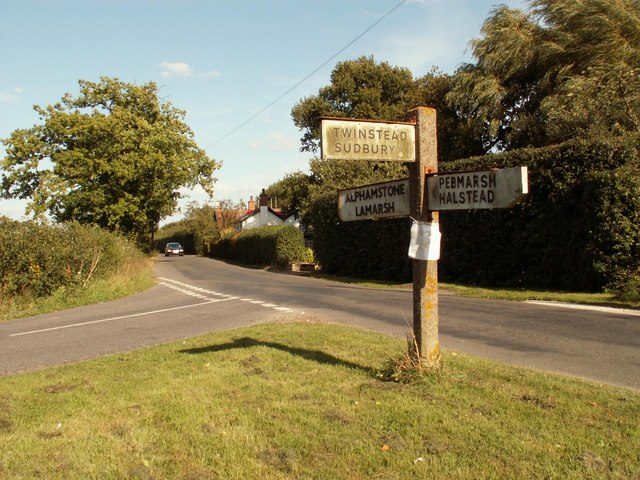
Alphamstone is a small civil parish located in the county of Essex, in the southeastern part of England. It is situated approximately 6 miles northeast of the town of Halstead. The parish covers an area of around 2.5 square miles and is primarily rural in nature.

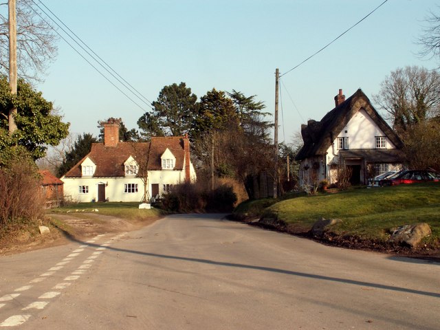
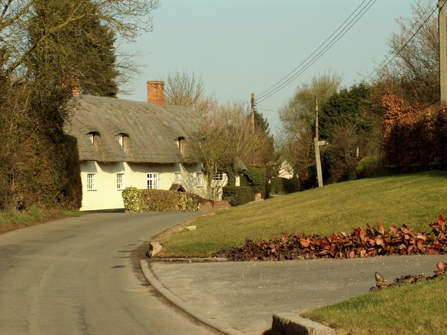
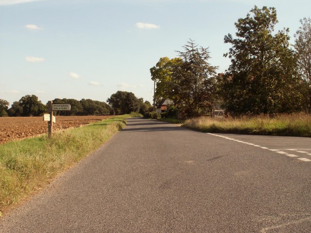
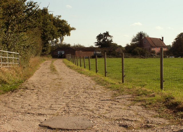
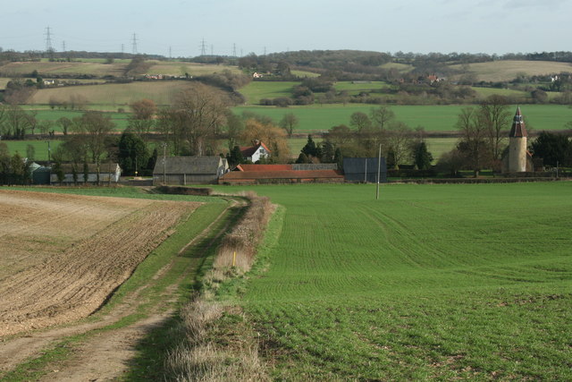
The village of Alphamstone itself is small, with a population of just over 100 residents. It is characterized by its picturesque countryside setting, with rolling hills, fields, and woodlands surrounding the village. The landscape is dotted with traditional English cottages and farmhouses, giving it a quintessentially rural charm.

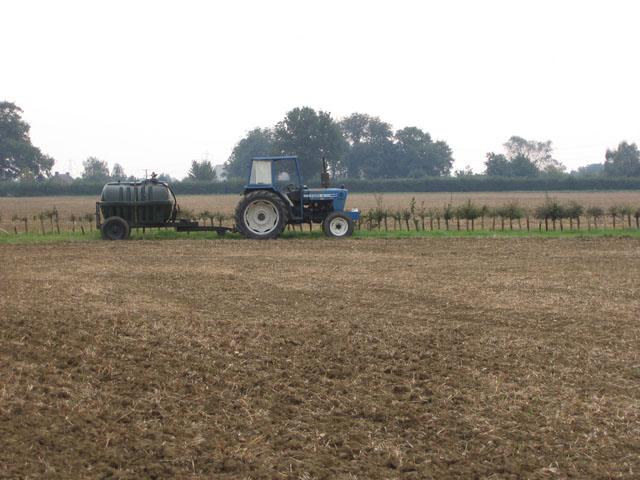
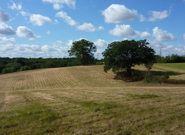
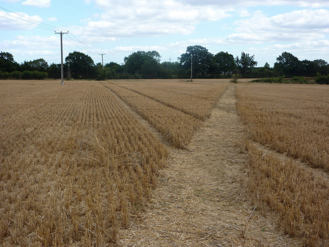
The parish is known for its agricultural activities, with farming being the primary occupation of the local residents. The fertile land in the area is used for cultivating crops and grazing livestock. As a result, the countryside is often adorned with fields of wheat, barley, and other crops, adding to the scenic beauty of the area.

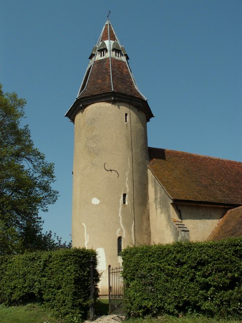
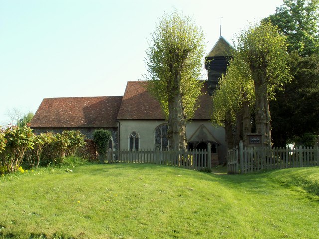
Alphamstone is also home to St. Barnabas Church, a Grade II listed building that dates back to the 12th century. The church serves as a spiritual and social hub for the local community, hosting regular services and events throughout the year.

While small in size, Alphamstone offers a peaceful and idyllic living environment for its residents. It provides a close-knit community atmosphere and serves as a haven for those seeking a rural lifestyle away from the hustle and bustle of larger towns and cities.

If you have any feedback on the listing, please let us know in the comments section below.
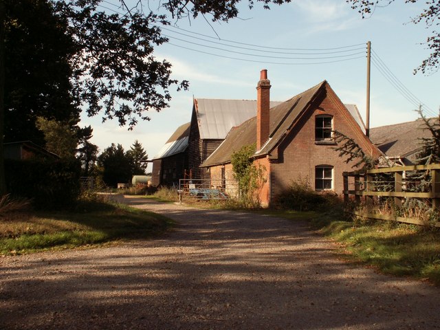
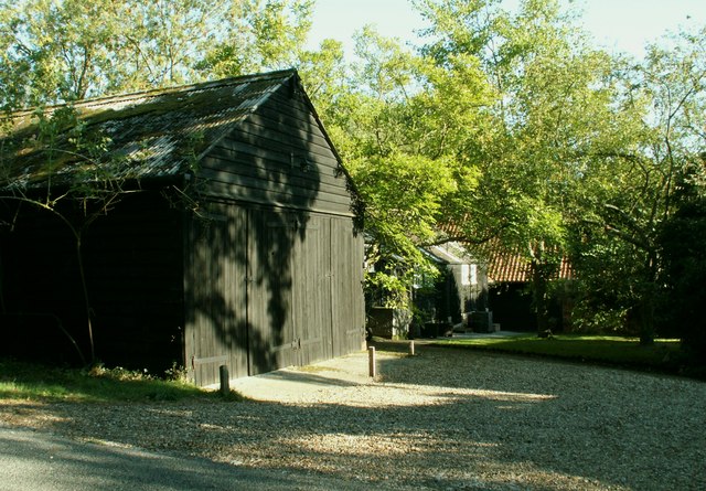
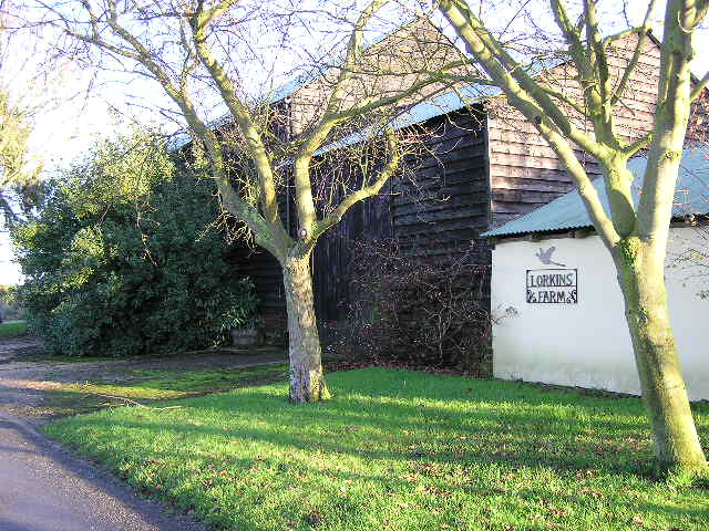
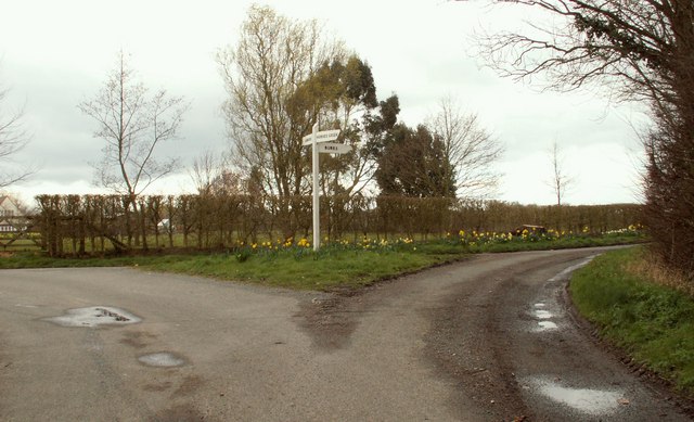
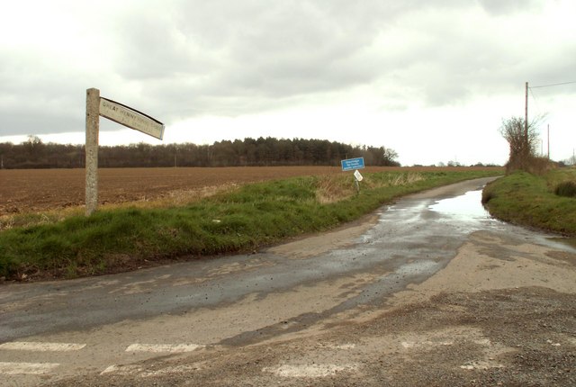
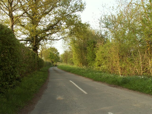
Alphamstone Images

Images are sourced within 2km of 51.979384/0.726993 or Grid Reference TL8734. Thanks to Geograph Open Source API. All images are credited.

Village scene, Alphamstone, Essex This picture shows the road to Lamarsh.
Village scene, Alphamstone, Essex
This picture shows the road to Lamarsh.
Lamarsh, Essex The old cottage in the picture is known as 'Long Thatch'
Lamarsh, Essex
The old cottage in the picture is known as 'Long Thatch'
Holy Innocents church, Lamarsh, Essex This is one of only six churches in Essex with a round tower. It dates back to the Norman period but the unusual tower roof was part of the restoration of 1869.
Holy Innocents church, Lamarsh, Essex
This is one of only six churches in Essex with a round tower. It dates back to the Norman period but the unusual tower roof was part of the restoration of 1869.
'The Lamarsh Lion' inn, Lamarsh, Essex
Tractor and new hedge These flat fields are more than 70 metres above sea level, making them fairly high by Essex standards.
Tractor and new hedge
These flat fields are more than 70 metres above sea level, making them fairly high by Essex standards.
Cripple Corner road junction Cripple Corner lies a short distance from the village of Pebmarsh.
Cripple Corner road junction
Cripple Corner lies a short distance from the village of Pebmarsh.
King's Farm, just east of Cripple Corner, Essex
Signpost along Pebmarsh Road, Essex
Le Mote Farm, just east of Pebmarsh, Essex
Peyton Hall Farm, just east of Pebmarsh, Essex
Lorkins Farm
Lorkins Farm
Road junction, just south of Lamarsh
Lorkin's Lane Lorkin's Lane takes you on to Henny Street.
Lorkin's Lane
Lorkin's Lane takes you on to Henny Street.
Lamarsh Hall and Church
An un-named road at Horne's Green
St. Barnabas: the parish church of Alphamstone This church dates back to the Norman period. Most of the church was restored by Sir Arthur Blomfield in the 19th century.
St. Barnabas: the parish church of Alphamstone
This church dates back to the Norman period. Most of the church was restored by Sir Arthur Blomfield in the 19th century.
Fields north of Alphamstone Rolling countryside with very minor lanes.
Fields north of Alphamstone
Rolling countryside with very minor lanes.
Footpath to Lorkin's Lane Cutting a strip through the stubble.
Footpath to Lorkin's Lane
Cutting a strip through the stubble.
Show me another place!

Alphamstone is located at Grid Ref: TL8734 (Lat: 51.979384, Lng: 0.726993)

Administrative County: Essex

District: Braintree

Police Authority: Essex

What 3 Words

///resonates.toenail.removing. Near Bures St Mary, Suffolk

Nearby Locations

Clamp's Grove Alphamstone

Related Wikis

Nearby Amenities

Located within 500m of 51.979384,0.726993
Power: tower
Source: Bing
Lat/Long: 51.9786948/0.7208697
Power: tower
Source: Bing
Lat/Long: 51.9813381/0.7216422
The data included in this document is from www.openstreetmap.org. The data is made available under ODbL.

Have you been to Alphamstone?

Leave your review of Alphamstone below (or comments, questions and feedback).