Alpington

Settlement in Norfolk South Norfolk

England

Alpington

Church of St Mary, Yelverton <span class="nowrap"><a title="https://historicengland.org.uk/listing/the-list/list-entry/1050639?section=official-list-entry" rel="nofollow ugc noopener" href="https://historicengland.org.uk/listing/the-list/list-entry/1050639?section=official-list-entry">Link</a><img style="margin-left:2px;" alt="External link" title="External link - shift click to open in new window" src="https://s1.geograph.org.uk/img/external.png" width="10" height="10"/></span>
Church of St Mary, Yelverton Credit: Sandy Gerrard

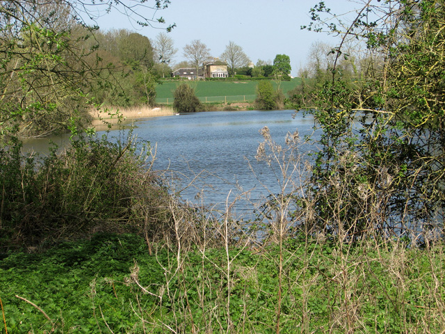
Alpington is a village located in the county of Norfolk, England. Situated approximately 8 miles south-east of the city of Norwich, it falls within the South Norfolk district. The village is nestled in the picturesque Norfolk countryside, surrounded by rolling hills and farmland.

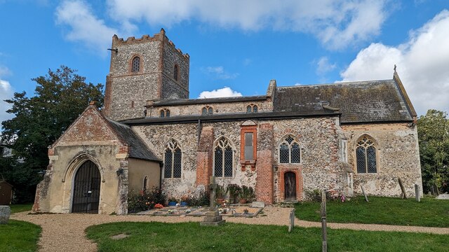
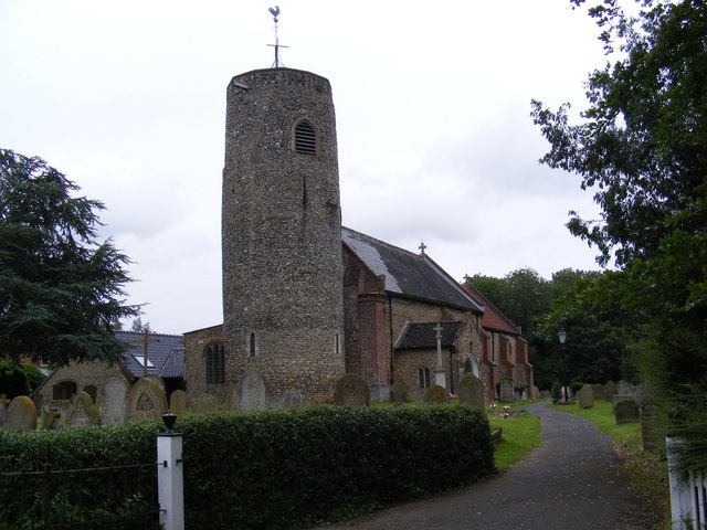
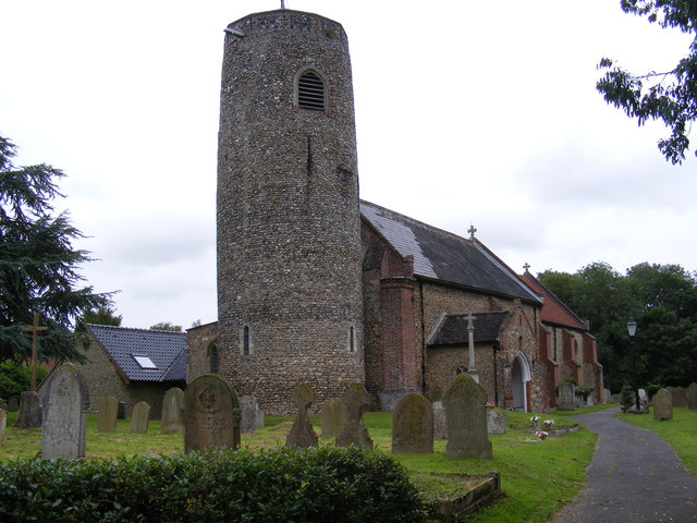
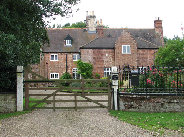
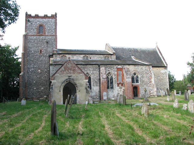
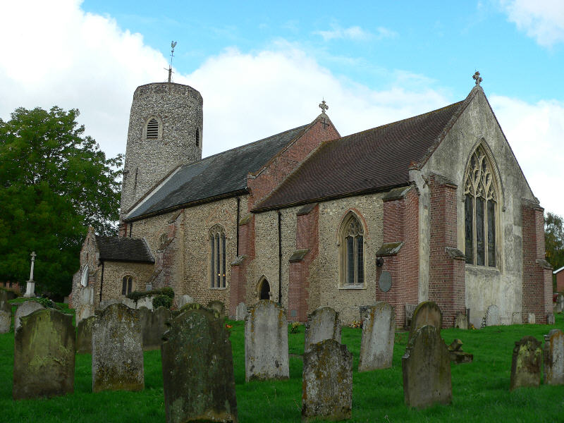
Alpington has a rich history that dates back to medieval times, with evidence of human activity in the area as early as the Bronze Age. The village is home to several historic buildings, including St. Mary's Church, which dates back to the 13th century. The church is known for its beautiful stained glass windows and impressive architecture.

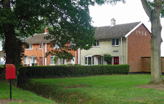
The village itself is small and tight-knit, with a population of around 600 residents. It has a warm and welcoming community atmosphere, with a range of amenities to cater to the needs of its residents. These amenities include a village hall, a public house, and a primary school.

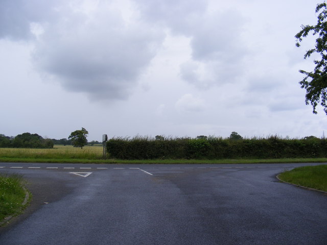
Despite its rural setting, Alpington benefits from good transport links. The A146 road runs through the village, connecting it to the nearby city of Norwich and the coastal town of Lowestoft. There are also regular bus services that provide transportation to surrounding areas.

Alpington offers its residents a peaceful and idyllic lifestyle, with ample opportunities for outdoor activities such as walking, cycling, and exploring the beautiful Norfolk countryside. Its proximity to Norwich also provides easy access to a wider range of amenities, including shopping centers, restaurants, and cultural attractions.

Overall, Alpington is a charming village with a rich history and a strong sense of community, making it an attractive place to live for those seeking a tranquil rural setting.

If you have any feedback on the listing, please let us know in the comments section below.
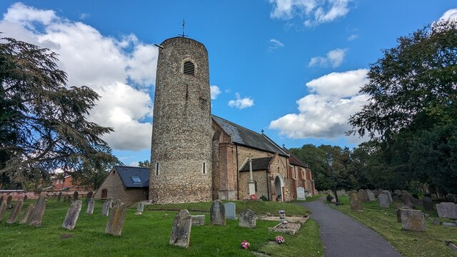
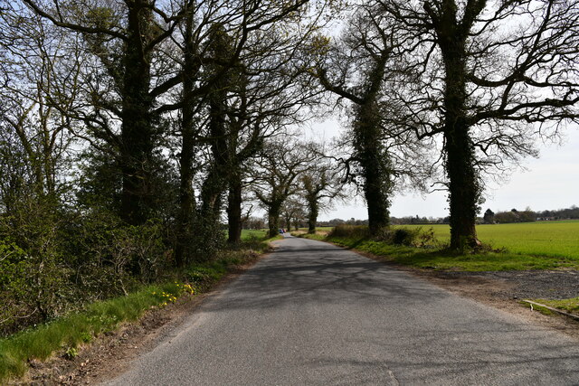
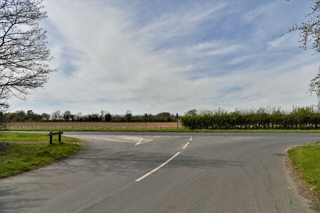
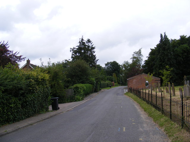
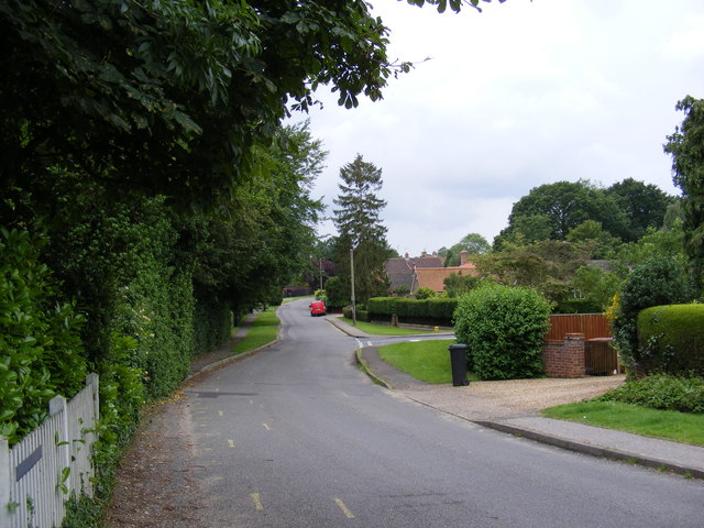
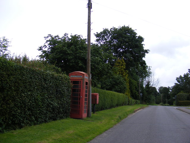
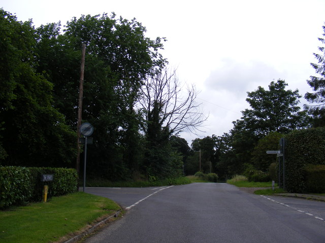
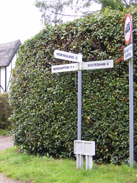
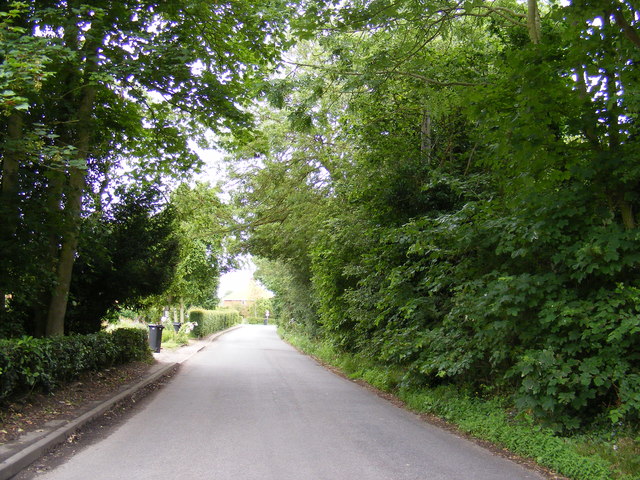
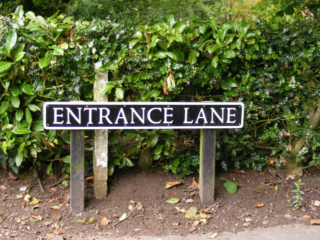
Alpington Images

Images are sourced within 2km of 52.561479/1.386054 or Grid Reference TG2901. Thanks to Geograph Open Source API. All images are credited.

Church of St Mary, Yelverton <span class="nowrap"><a title="https://historicengland.org.uk/listing/the-list/list-entry/1050639?section=official-list-entry" rel="nofollow ugc noopener" href="https://historicengland.org.uk/listing/the-list/list-entry/1050639?section=official-list-entry">Link</a><img style="margin-left:2px;" alt="External link" title="External link - shift click to open in new window" src="https://s1.geograph.org.uk/img/external.png" width="10" height="10"/></span>
Church of St Mary, Yelverton
Church of St Peter, Brooke <span class="nowrap"><a title="https://historicengland.org.uk/listing/the-list/list-entry/1051120?section=official-list-entry" rel="nofollow ugc noopener" href="https://historicengland.org.uk/listing/the-list/list-entry/1051120?section=official-list-entry">Link</a><img style="margin-left:2px;" alt="External link" title="External link - shift click to open in new window" src="https://s1.geograph.org.uk/img/external.png" width="10" height="10"/></span>
Church of St Peter, Brooke
Howe: Entrance Lane
Howe: Entrance Lane
Howe: Entrance Lane/ Norwich Road junction
14-16 Church Road, Bergh Apton One of several distinctive and thoughtful council housing projects by Herbert Tayler & David Green for Loddon District Council. Built 1951-56 - the year of completion is picked out in white brick on the end wall. Grade II listed.
14-16 Church Road, Bergh Apton
One of several distinctive and thoughtful council housing projects by Herbert Tayler & David Green for Loddon District Council. Built 1951-56 - the year of completion is picked out in white brick on the end wall. Grade II listed.
View across the lake east of Brooke It is surrounded by a high and sturdy fence.
View across the lake east of Brooke
It is surrounded by a high and sturdy fence.
St.Peter's Church, Brooke Off The Street
St.Peter's Church, Brooke
Off The Street
St.Peter's Church sign Off The Street
St.Peter's Church sign
Off The Street
The Street, Brooke Looking towards Dovecote Close & Old Hall Gardens near St.Peter's Church
The Street, Brooke
Looking towards Dovecote Close & Old Hall Gardens near St.Peter's Church
The Street, Brooke Looking towards St.Peter's Road near St.Peter's Church
The Street, Brooke
Looking towards St.Peter's Road near St.Peter's Church
The Street, Telephone Box & Royal Mail Dump Box <span class="nowrap"><a title="https://en.wikipedia.org/wiki/Brooke,_Norfolk" rel="nofollow ugc noopener" href="https://en.wikipedia.org/wiki/Brooke,_Norfolk">Link</a><img style="margin-left:2px;" alt="External link" title="External link - shift click to open in new window" src="https://s1.geograph.org.uk/img/external.png" width="10" height="10"/></span>
The Street, Telephone Box & Royal Mail Dump Box
The Street sign & Fire Hydrant On The Street at the junction with Entrance Lane
The Street sign & Fire Hydrant
On The Street at the junction with Entrance Lane
The Street, Brooke At the junction with Entrance Lane
The Street, Brooke
At the junction with Entrance Lane
Roadsign on The Street At the junction with Entrance Lane
Roadsign on The Street
At the junction with Entrance Lane
Entrance Lane, Brooke At the junction with The Street
Entrance Lane, Brooke
At the junction with The Street
Entrance Lane sign At the junction with The Street
Entrance Lane sign
At the junction with The Street
Entrance Lane At the junction with the B1332 Norwich Road
Entrance Lane
At the junction with the B1332 Norwich Road
St.Peter's Church, Brooke Off The Street
St.Peter's Church, Brooke
Off The Street
Show me another place!

Alpington is located at Grid Ref: TG2901 (Lat: 52.561479, Lng: 1.386054)

Administrative County: Norfolk

District: South Norfolk

Police Authority: Norfolk

What 3 Words

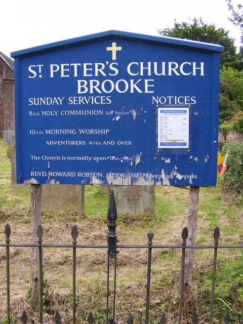
///clicker.appointed.sped. Near Brooke, Norfolk

Nearby Locations

Alpington Alpington

Related Wikis

Alpington

Alpington is a village and civil parish in the English county of Norfolk. It is situated about six miles (10 km) south-east of Norwich and is closely associated...

Yelverton, Norfolk

Yelverton is a village and civil parish in the English county of Norfolk, situated some 5 miles (8.0 km) south east of Norwich and closely associated with...

Bergh Apton

Bergh Apton is a village and civil parish in the South Norfolk district of Norfolk, England, 7 miles (11 km) south-east of Norwich just south of the A146...

Brooke, Norfolk

Brooke is a village and civil parish in the South Norfolk district of Norfolk, England, about 7 miles south of Norwich and roughly equidistant from Norwich...

Bergh Apton Anglo-Saxon cemetery

Bergh Apton Anglo-Saxon cemetery is a late-5th to late-6th century Anglo-Saxon burial site discovered at Bergh Apton, Norfolk. The site was excavated in...

Holverston

Holverston is a civil parish in the county of Norfolk, England ¾ mile (1¼ km) southeast of Rockland St. Mary. It includes the 16th century Holverston Hall...

Framingham Earl

Framingham Earl is a small village and civil parish in the English county of Norfolk. The village is located 5.8 miles (9.3 km) north-west of Loddon and...

Howe, Norfolk

Howe is a village and civil parish in South Norfolk, England. It is situated between Poringland, Brooke and Shotesham. It covers an area of 3.20 km2...

Nearby Amenities

Located within 500m of 52.561479,1.386054
Power: pole
Lat/Long: 52.564194/1.389918
Power: pole
Lat/Long: 52.561659/1.390205
Power: pole
Lat/Long: 52.5603905/1.3898807
Power: pole
Lat/Long: 52.563189/1.3897844
Power: pole
Lat/Long: 52.5625661/1.3899928
Location Transition: yes
Power: pole
Lat/Long: 52.5570085/1.3866916
Location Transition: yes
Power: pole
Lat/Long: 52.5570914/1.3865548
Power: pole
Lat/Long: 52.559151/1.389481
Power: pole
Lat/Long: 52.55771/1.387587
Power: pole
Lat/Long: 52.558016/1.386276
Power: pole
Lat/Long: 52.558986/1.38601
Power: pole
Lat/Long: 52.56155/1.383993
Power: pole
Lat/Long: 52.562437/1.382711
Power: pole
Lat/Long: 52.563322/1.381445
Material: wood
Power: pole
Lat/Long: 52.564215/1.380184
Power: pole
Lat/Long: 52.558871/1.382762
Power: pole
Lat/Long: 52.558186/1.38395
Power: pole
Lat/Long: 52.5576166/1.3850145
Power: pole
Lat/Long: 52.560314/1.384956
Material: wood
Power: pole
Lat/Long: 52.56057/1.37979
Power: pole
Lat/Long: 52.560879/1.380313
Power: pole
Lat/Long: 52.560018/1.380799
Power: pole
Lat/Long: 52.559537/1.381646
Power: pole
Lat/Long: 52.560235/1.379224
The data included in this document is from www.openstreetmap.org. The data is made available under ODbL.

Have you been to Alpington?

Leave your review of Alpington below (or comments, questions and feedback).