Aisthorpe
Civil Parish in Lincolnshire West Lindsey
England
Aisthorpe
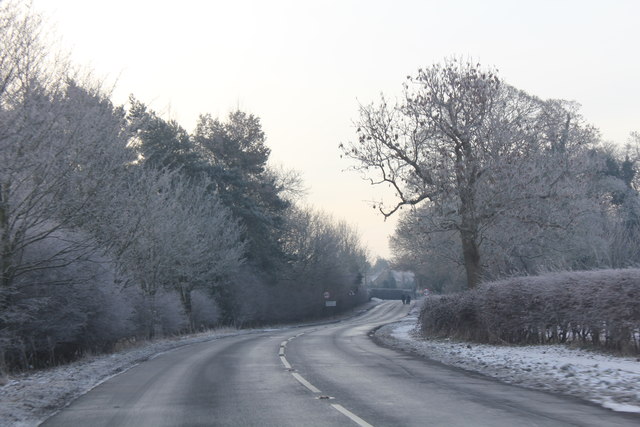
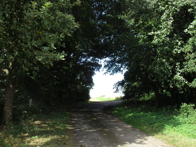
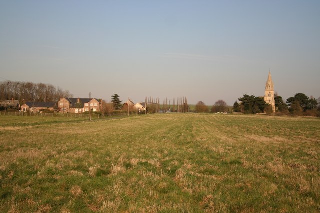
Aisthorpe is a small civil parish located in the county of Lincolnshire, England. Situated approximately 6 miles north of the city of Lincoln, it covers an area of around 2.5 square miles. The parish is surrounded by scenic countryside and is known for its peaceful and rural atmosphere.
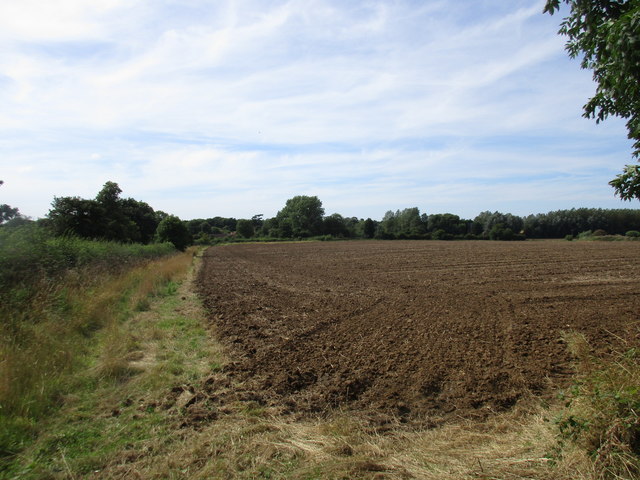
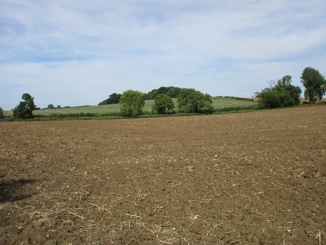
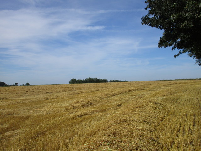
The population of Aisthorpe is relatively small, with just over 100 residents according to the most recent census. The parish consists mainly of agricultural land, with a few scattered residential properties and farms. The landscape is characterized by open fields, hedgerows, and small woodlands, making it an ideal place for nature enthusiasts and outdoor activities.
Aisthorpe is well-connected to neighboring areas by road, with the A15 running to the west of the parish, providing easy access to Lincoln and other nearby towns and villages. The city of Lincoln offers a range of amenities and services, including shops, schools, and healthcare facilities, which are within a short driving distance.
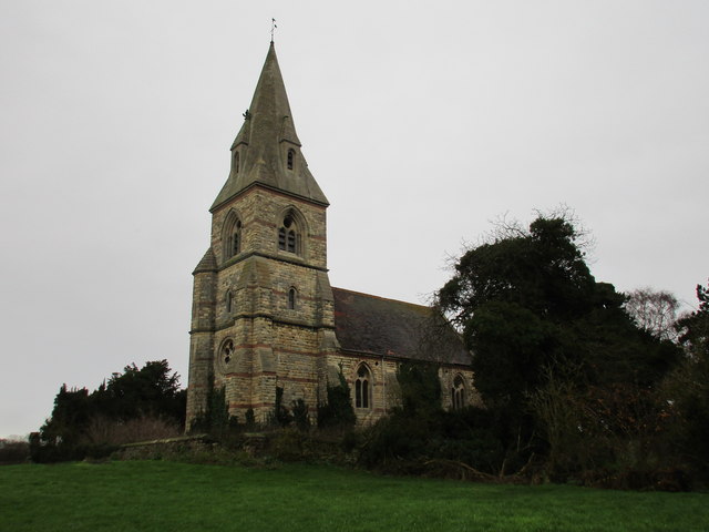
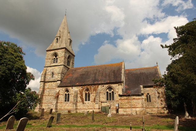
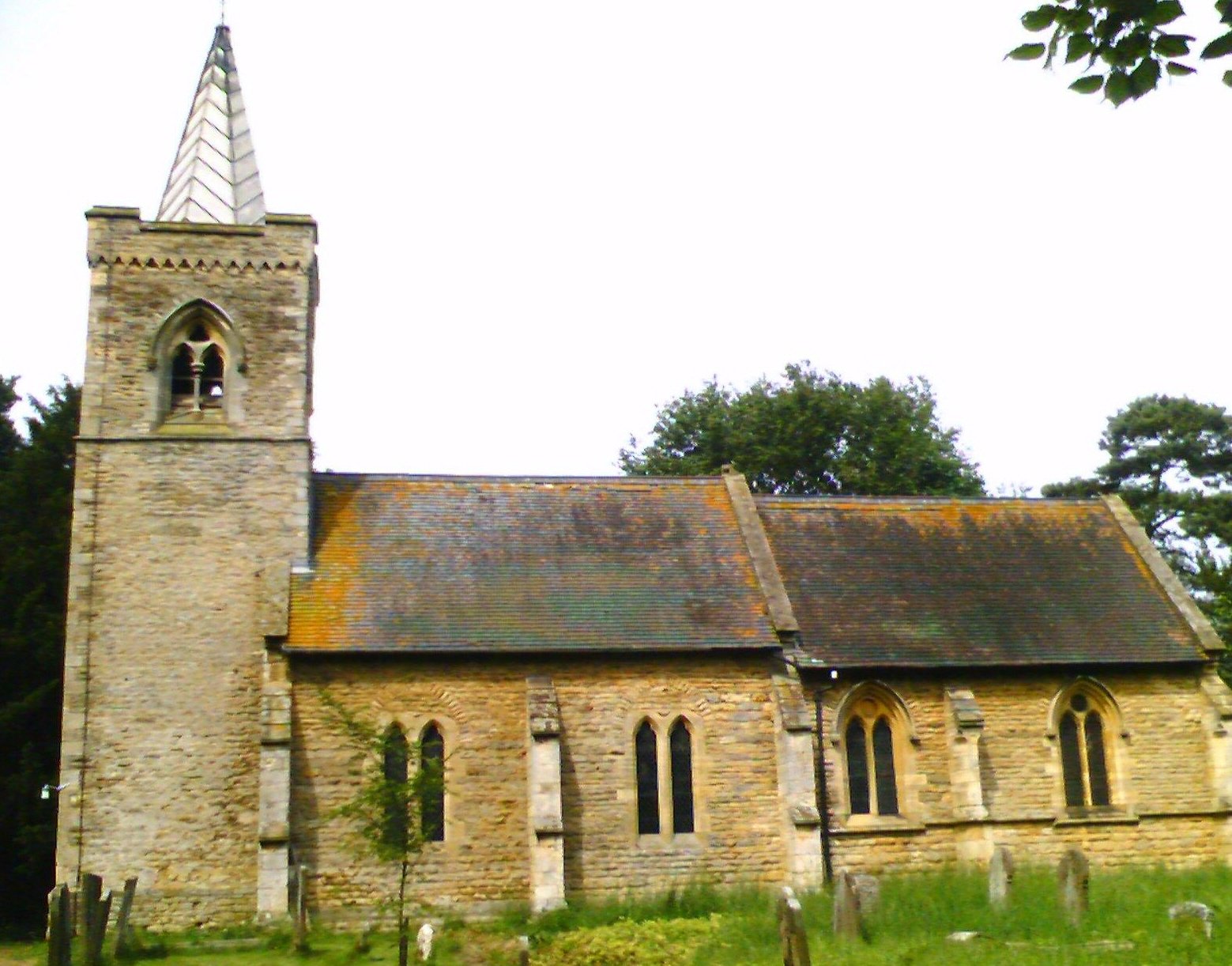
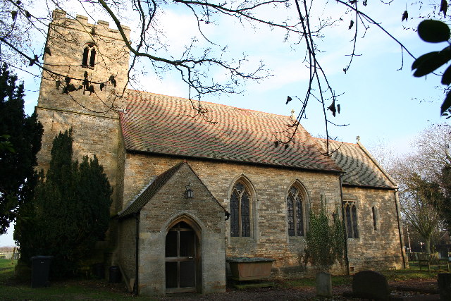
The parish has a rich history, with evidence of human settlement dating back to Roman times. The nearby Aisthorpe Hall, a Grade II listed building, adds to the historical significance of the area. Despite its small size, Aisthorpe has a strong community spirit, with residents actively participating in local events and initiatives.
Overall, Aisthorpe offers a tranquil and picturesque setting, perfect for those seeking a rural lifestyle while still being within reach of urban conveniences.
If you have any feedback on the listing, please let us know in the comments section below.
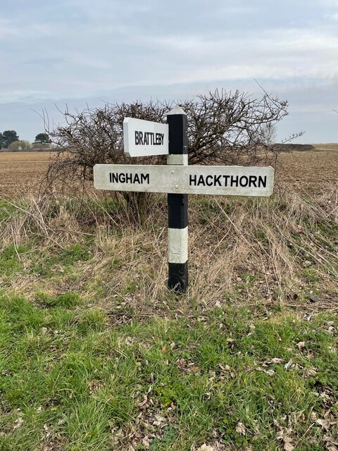
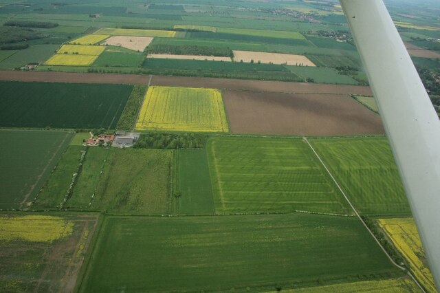
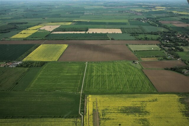
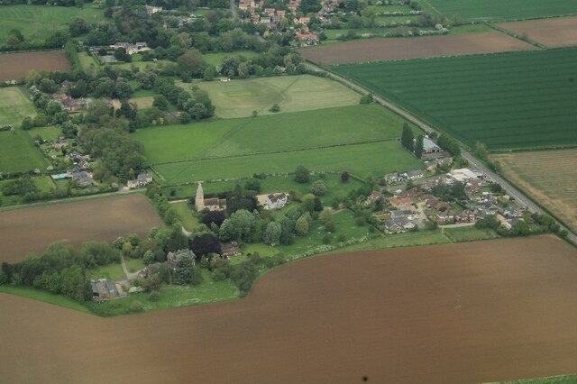
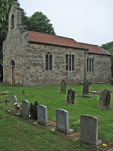
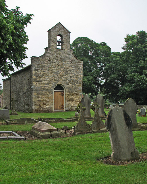
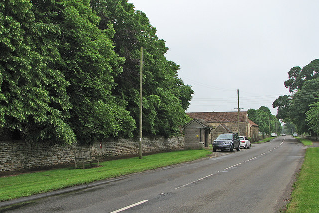
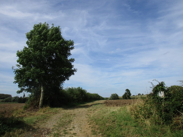
Aisthorpe Images
Images are sourced within 2km of 53.310215/-0.573488 or Grid Reference SK9580. Thanks to Geograph Open Source API. All images are credited.


Aisthorpe is located at Grid Ref: SK9580 (Lat: 53.310215, Lng: -0.573488)
Administrative County: Lincolnshire
District: West Lindsey
Police Authority: Lincolnshire
What 3 Words
///intervals.store.consented. Near Burton, Lincolnshire
Nearby Locations
Related Wikis
Aisthorpe
Aisthorpe is a small village and civil parish in the West Lindsey district of Lincolnshire, England. Aisthorpe is recorded as Æstorp in 1086, probably...
Brattleby
Brattleby is a village and civil parish in the West Lindsey district of Lincolnshire, England. The population of the civil parish at the 2011 census was...
Scampton
Scampton is a village and civil parish in the West Lindsey district of Lincolnshire, England. The population of the civil parish including Brampton and...

RAF Scampton
Royal Air Force Scampton or RAF Scampton (formerly IATA: SQZ, ICAO: EGXP) is a former Royal Air Force station located adjacent to the A15 road near to...

Cammeringham Priory
Cammeringham Priory was a priory in Cammeringham, Lincolnshire, England, and was one of nine Premonstratensian houses in the historical county. It was...

Cammeringham
Cammeringham is a village and civil parish in the West Lindsey district of Lincolnshire, England. It is situated 6 miles (10 km) north of Lincoln, and...

North Carlton, Lincolnshire
North Carlton is a village and civil parish in the West Lindsey district of Lincolnshire, England. The population of the civil parish at the 2011 census...
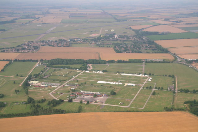
Lincolnshire Showground
The Lincolnshire Showground is an agricultural showground and exhibition centre in North Carlton, north of Lincoln in England. It is the chief exhibition...
Related Videos


RAF Scampton gate watch camp 6
Superhero, RAF Scampton, watching the gate, waiting for them to move in the illegal residents. All I have to say is where are you I ...


Scampton Air Show!
Our first air show - and Freya's :)
Nearby Amenities
Located within 500m of 53.310215,-0.573488Have you been to Aisthorpe?
Leave your review of Aisthorpe below (or comments, questions and feedback).