Aislaby
Civil Parish in Durham
England
Aislaby
Aislaby is a civil parish located in the county of Durham, in the northeast of England. It is situated approximately 4 miles west of the market town of Stockton-on-Tees. The parish covers an area of around 5 square miles and has a population of around 200 residents.
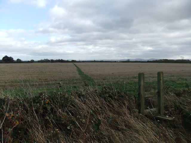
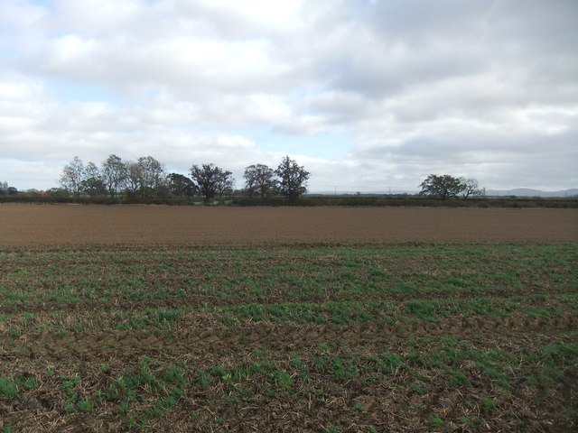
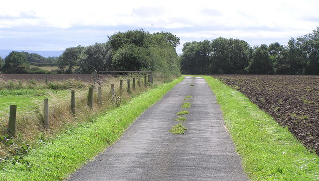
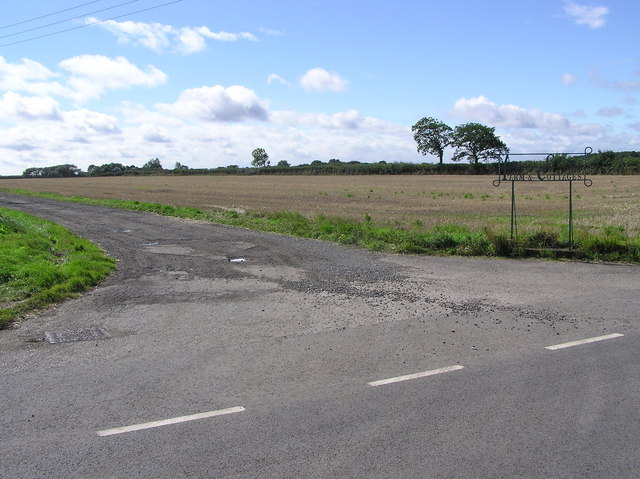
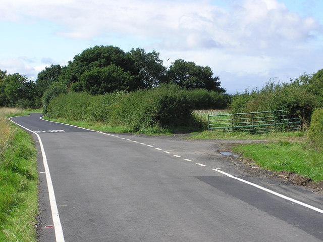
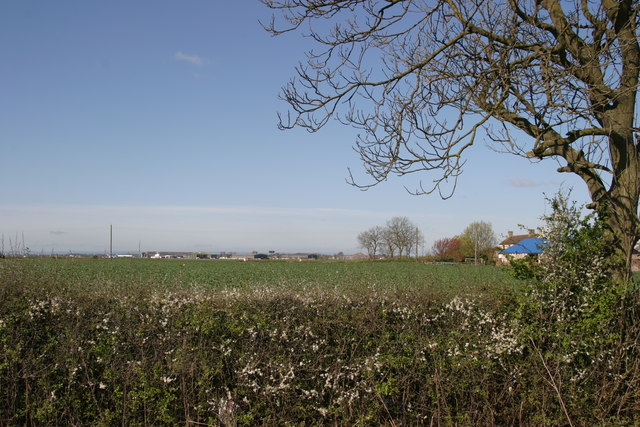
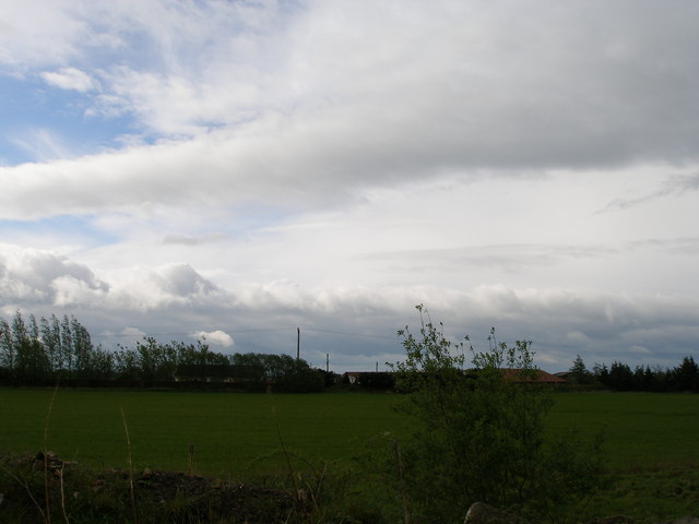
The village of Aislaby is nestled in a rural setting, surrounded by beautiful countryside and farmland. It is known for its picturesque views and tranquil atmosphere, making it an ideal location for those seeking a peaceful and idyllic lifestyle.
The village itself is small, with a scattering of traditional houses and buildings. It has a close-knit community, with a village hall serving as the hub for social events and gatherings. There are limited amenities within the village, with the nearest shops and services found in nearby towns.
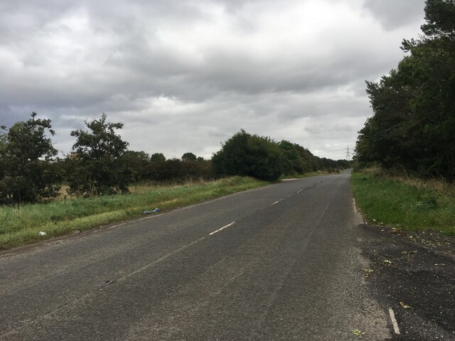
Aislaby is well-connected to the surrounding area, with good road links to Stockton-on-Tees and other nearby towns. The A19 road is easily accessible, providing convenient access to larger cities such as Durham and Newcastle.
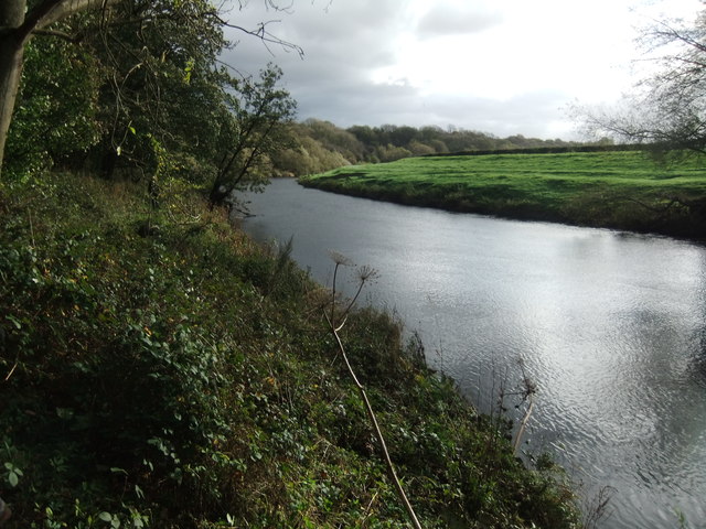
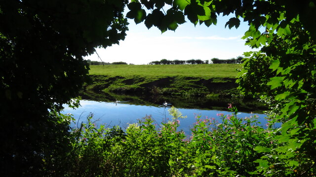
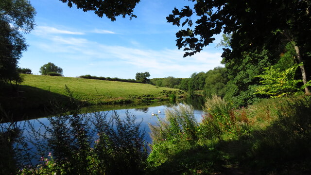
The parish is surrounded by natural beauty, with the River Tees running to the north of the village. This offers opportunities for outdoor activities such as fishing and boating. The surrounding countryside also provides ample opportunities for walking, hiking, and exploring the local flora and fauna.
Overall, Aislaby is a charming and peaceful parish, offering a rural lifestyle within easy reach of larger towns and cities. It is a place where residents can enjoy the tranquility of the countryside while still having access to essential amenities and a strong community spirit.
If you have any feedback on the listing, please let us know in the comments section below.
Aislaby Images
Images are sourced within 2km of 54.50612/-1.385468 or Grid Reference NZ3912. Thanks to Geograph Open Source API. All images are credited.
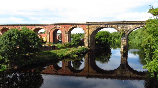
![Railway viaduct over the River Tees Looking upstream along the river from Yarm Road bridge. The railway bridge carries the Northallerton to Stockton lines. The centre of the bridge reads "Engineers: Thomas Grainger & John Bourne. Superintendent: Joseph Dixon. Contractors: [illegible due to plant growth]".](https://s3.geograph.org.uk/geophotos/07/48/23/7482395_95dcb706.jpg)
Aislaby is located at Grid Ref: NZ3912 (Lat: 54.50612, Lng: -1.385468)
Unitary Authority: Stockton-on-Tees
Police Authority: Cleveland
What 3 Words
///townhouse.efficient.films. Near Yarm, Co. Durham
Nearby Locations
Related Wikis

Aislaby, County Durham
Aislaby ( AYZ-əl-bi) is a small village and civil parish on the north bank of the River Tees within the borough of Stockton-on-Tees and the ceremonial...
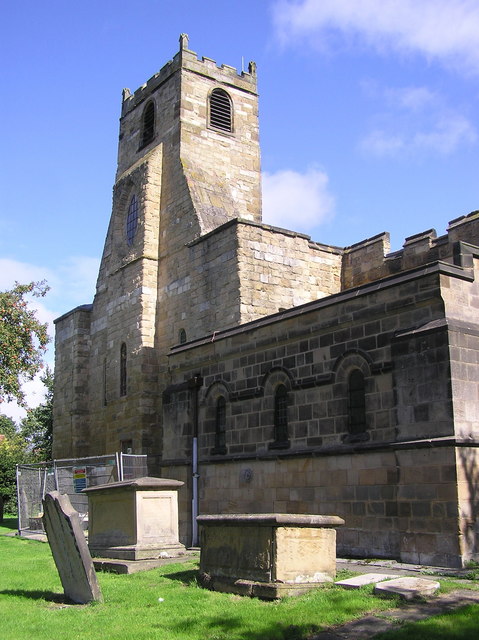
St Mary Magdalene, Yarm
St Mary Magdalene is a Church of England parish church in the town of Yarm, in the Borough of Stockton-on-Tees, North Yorkshire, England, which is dedicated...
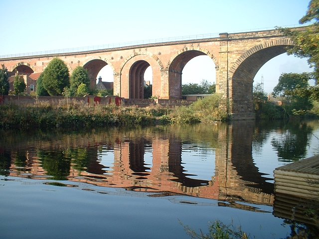
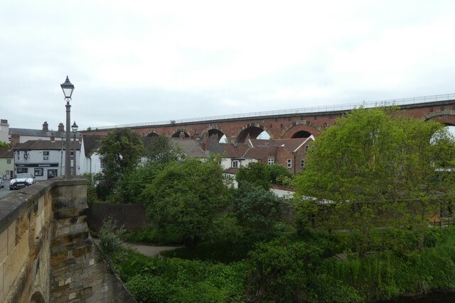
Yarm Viaduct
Yarm Viaduct is a railway viaduct carrying the railways above the town of Yarm in North Yorkshire, England. It crosses the River Tees which forms the boundary...
Egglescliffe School
Egglescliffe School & Sixth Form College is a large Coeducational secondary school and sixth form located between Egglescliffe and Urlay Nook in the Borough...

Yarm Town Hall
Yarm Town Hall is a municipal building in the High Street in Yarm, North Yorkshire, England. The structure, which is the meeting place of Yarm Town Council...

Yarm Methodist Church
Yarm Methodist Church is a Methodist church in the town of Yarm in the borough of Stockton-on-Tees, England. It is octagonal in shape. Built in 1763, John...
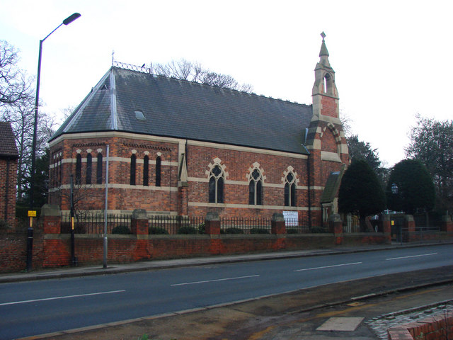
Ss Mary and Romuald, Yarm
St Mary and St Romuald is a Catholic parish church in Yarm, North Yorkshire, England. Administratively, it is part of the Diocese of Middlesbrough. �...

Yarm School
Yarm School is a co-educational independent day school in Yarm, North Yorkshire in the North East of England. The school accepts pupils aged 3–18 years...
Nearby Amenities
Located within 500m of 54.50612,-1.385468Have you been to Aislaby?
Leave your review of Aislaby below (or comments, questions and feedback).