Pits Plantation
Wood, Forest in Lincolnshire West Lindsey
England
Pits Plantation
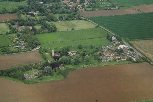
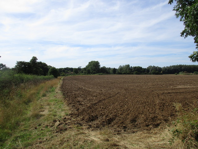
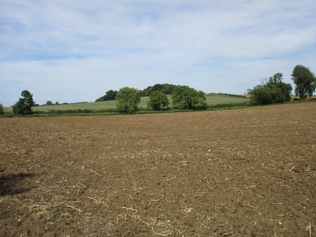
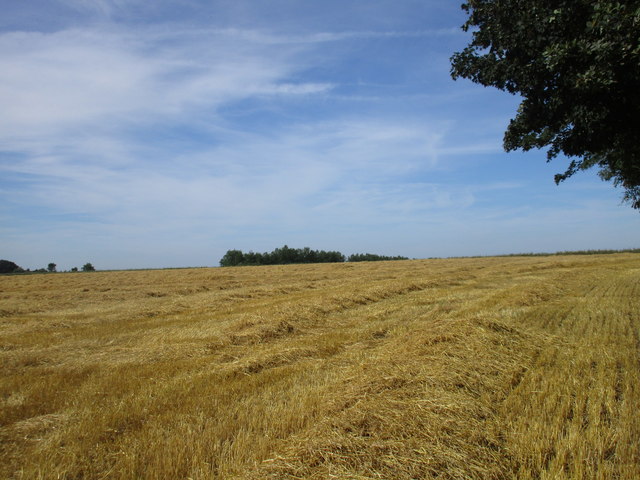
Pits Plantation is a beautiful woodland located in Lincolnshire, England. Situated near the village of Wood, this forested area covers a vast expanse of approximately 500 acres. It is a popular destination for nature lovers, hikers, and outdoor enthusiasts.
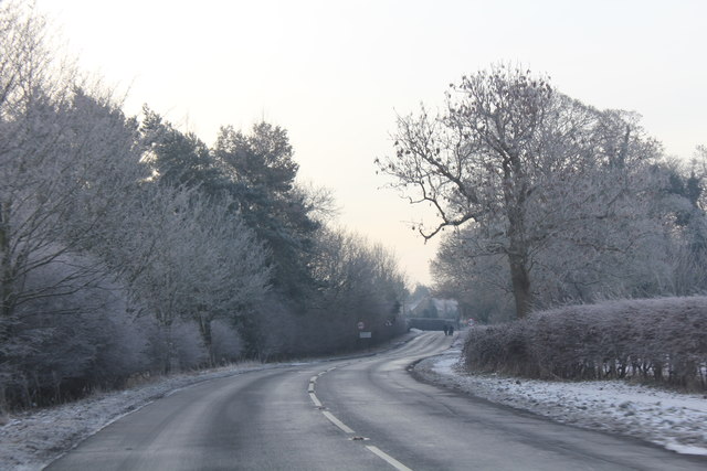
The plantation is characterized by its dense canopies of tall trees, primarily consisting of conifers such as pine and spruce. The towering trees create a serene and tranquil atmosphere, providing a perfect escape from the hustle and bustle of city life. The forest floor is covered with a rich carpet of mosses, ferns, and wildflowers, adding to the natural beauty of the area.
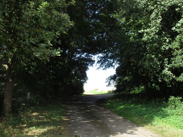
A network of well-maintained trails weaves through the plantation, allowing visitors to explore the woodlands at their own pace. These paths cater to all levels of fitness, from gentle strolls to more challenging hikes. Along the trails, one can encounter a variety of wildlife, including deer, squirrels, and a diverse range of bird species.
Pits Plantation is not only a haven for wildlife but also a valuable habitat for many protected species. It is managed by local conservation organizations, ensuring the preservation of its natural resources and biodiversity. The plantation also serves as an educational site, hosting guided tours and nature walks for schools and other interested groups.
Whether it is a leisurely walk, birdwatching, or simply enjoying the tranquility of nature, Pits Plantation offers a unique and immersive experience for visitors of all ages. Its stunning landscapes, abundant wildlife, and commitment to conservation make it a cherished natural gem in Lincolnshire.
If you have any feedback on the listing, please let us know in the comments section below.
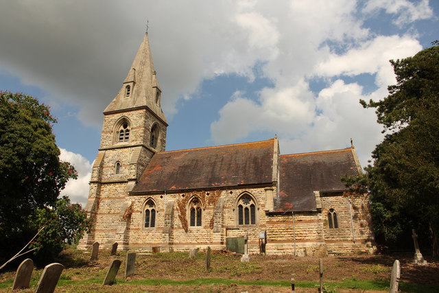
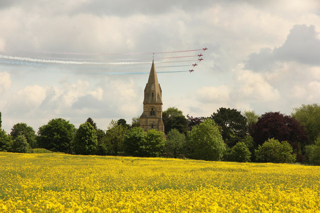
Pits Plantation Images
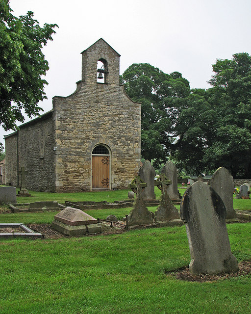
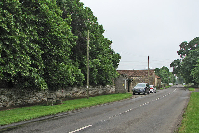
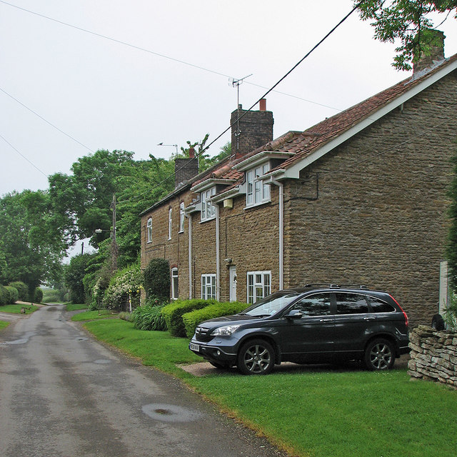
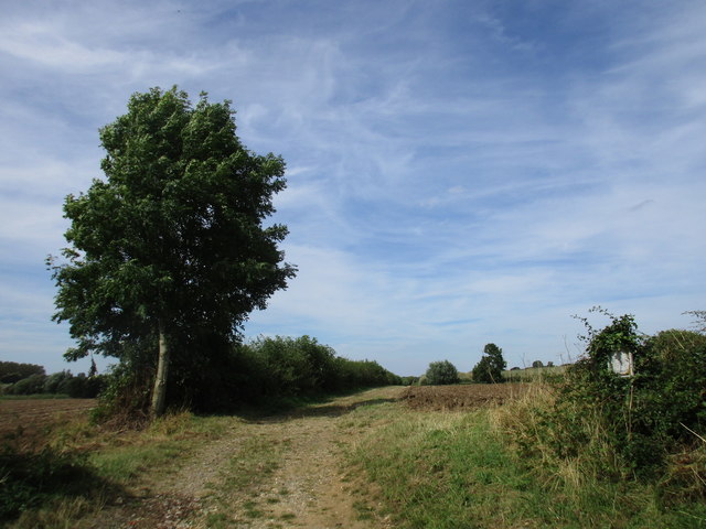
Images are sourced within 2km of 53.315925/-0.5663705 or Grid Reference SK9580. Thanks to Geograph Open Source API. All images are credited.


Pits Plantation is located at Grid Ref: SK9580 (Lat: 53.315925, Lng: -0.5663705)
Administrative County: Lincolnshire
District: West Lindsey
Police Authority: Lincolnshire
What 3 Words
///garage.rebirth.quicksand. Near Burton, Lincolnshire
Nearby Locations
Related Wikis
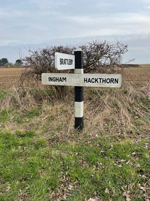
Brattleby
Brattleby is a village and civil parish in the West Lindsey district of Lincolnshire, England. The population of the civil parish at the 2011 census was...
Aisthorpe
Aisthorpe is a small village and civil parish in the West Lindsey district of Lincolnshire, England. Aisthorpe is recorded as Æstorp in 1086, probably...

RAF Scampton
Royal Air Force Scampton or RAF Scampton (formerly IATA: SQZ, ICAO: EGXP) is a former Royal Air Force station located adjacent to the A15 road near to...

Cammeringham Priory
Cammeringham Priory was a priory in Cammeringham, Lincolnshire, England, and was one of nine Premonstratensian houses in the historical county. It was...
Related Videos


RAF Scampton gate watch camp 6
Superhero, RAF Scampton, watching the gate, waiting for them to move in the illegal residents. All I have to say is where are you I ...


Scampton Air Show!
Our first air show - and Freya's :)
Nearby Amenities
Located within 500m of 53.315925,-0.5663705Have you been to Pits Plantation?
Leave your review of Pits Plantation below (or comments, questions and feedback).