Akebar

Civil Parish in Yorkshire Richmondshire

England

Akebar

Road from Scotton to Patrick Brompton Looking south
Road from Scotton to Patrick Brompton Credit: Oliver Dixon

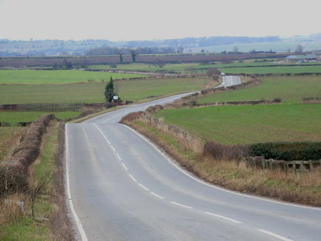
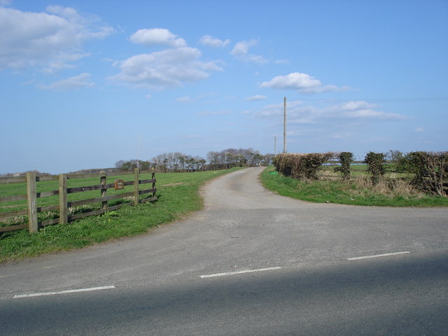
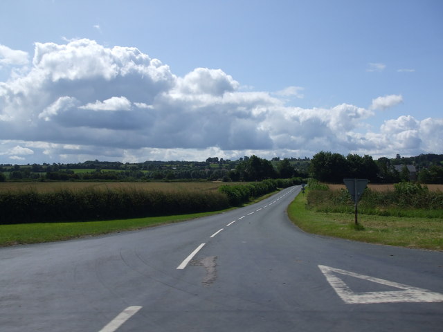
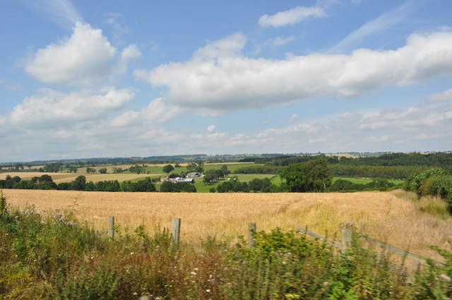
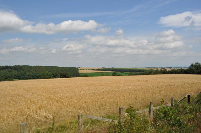
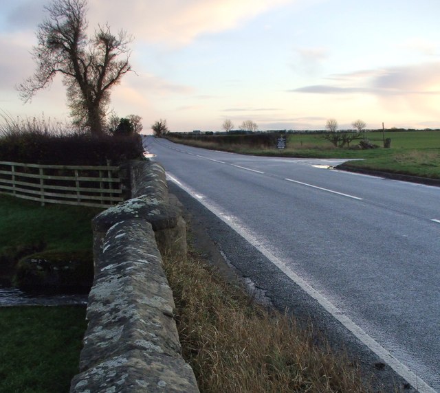
Akebar is a civil parish located in the county of Yorkshire, England. Situated in the Richmondshire district, it covers an area of approximately 10 square kilometers. The parish is located approximately 5 miles southeast of Leyburn and is surrounded by picturesque countryside, rolling hills, and farmland.

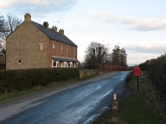
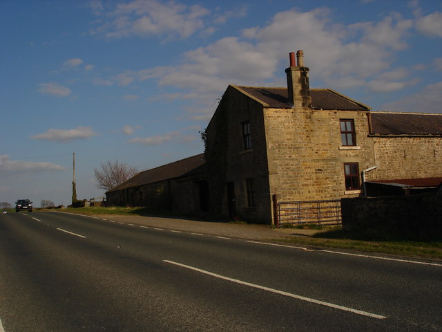
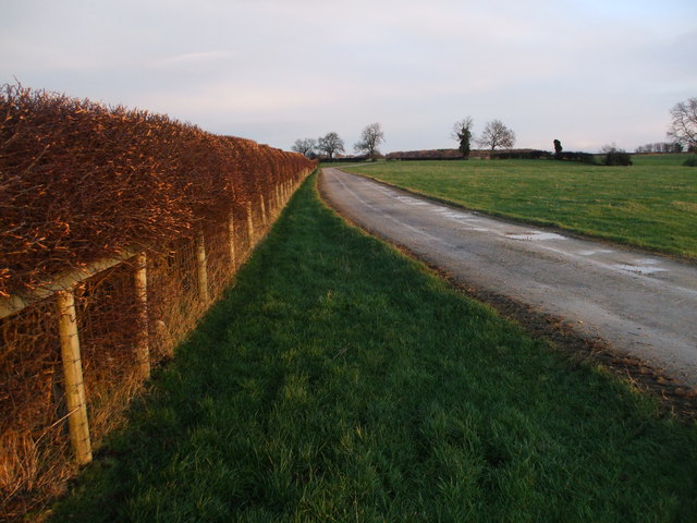
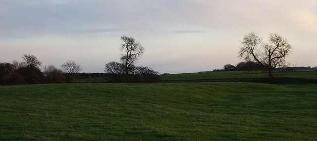
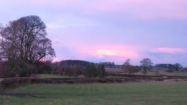
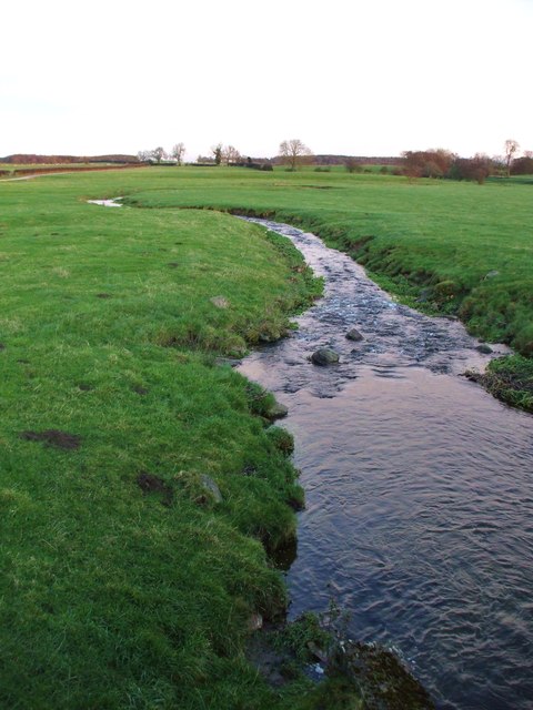
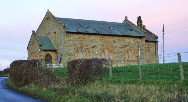
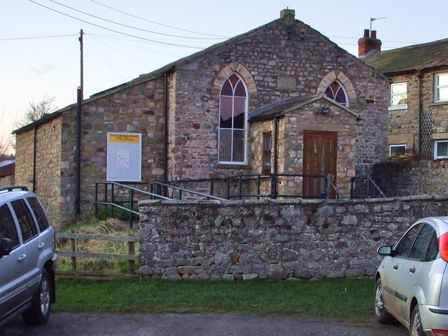
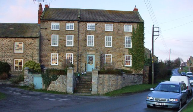
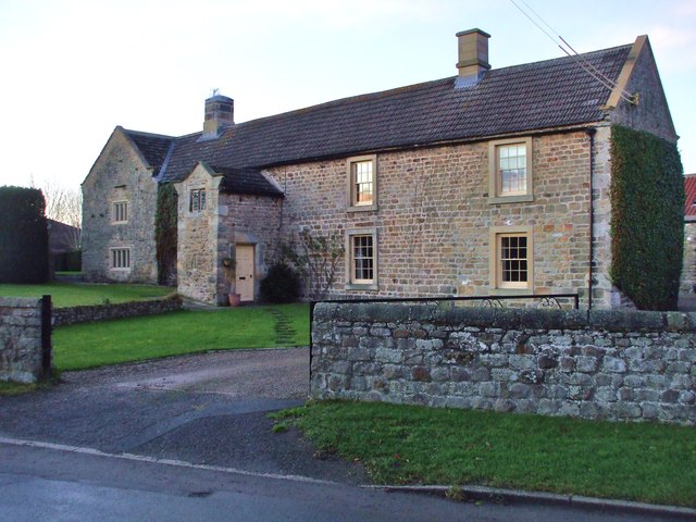
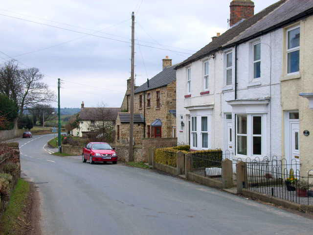
Akebar is a relatively small parish with a population of around 200 residents. It consists of a few scattered houses and farms, giving it a peaceful and rural atmosphere. The landscape is characterized by open fields, hedgerows, and patches of woodland, making it an ideal location for nature lovers and outdoor enthusiasts.

The parish is also home to Akebar Park, a popular holiday and leisure complex that offers a range of facilities, including a caravan park, luxury lodges, a golf course, and a fishing lake. The park attracts visitors from near and far, providing a boost to the local economy.

Despite its small size, Akebar has a strong sense of community, with residents actively participating in local events and activities. The parish is well connected to nearby towns and villages, with good road links and public transportation options.

In conclusion, Akebar is a peaceful civil parish in Yorkshire, known for its scenic countryside, tranquil atmosphere, and a close-knit community. It offers a range of outdoor activities and amenities, making it a charming destination for both locals and visitors.

If you have any feedback on the listing, please let us know in the comments section below.
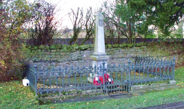
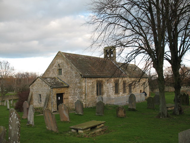
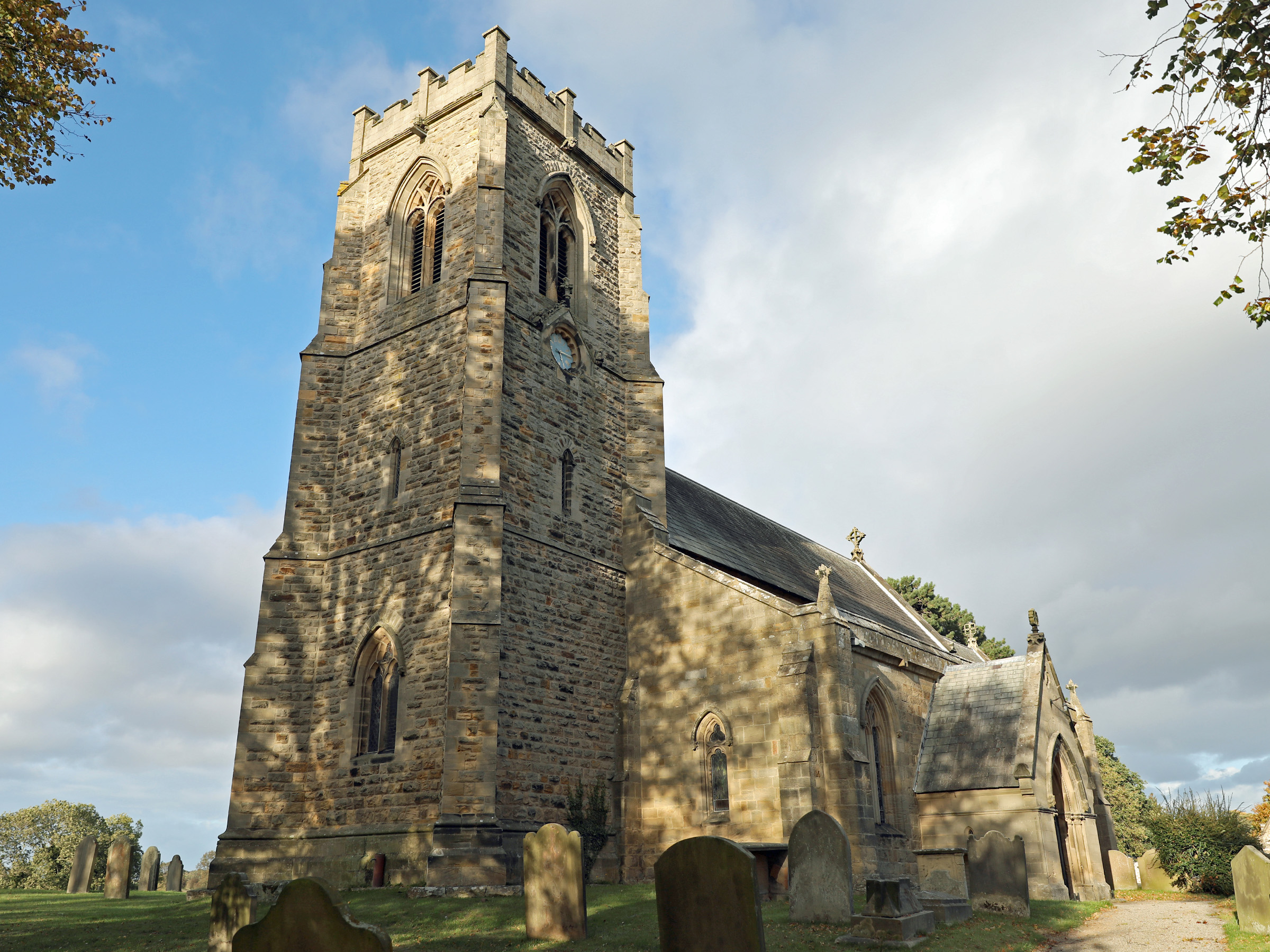
Akebar Images

Images are sourced within 2km of 54.314383/-1.6977 or Grid Reference SE1991. Thanks to Geograph Open Source API. All images are credited.

Road from Scotton to Patrick Brompton Looking south
Road from Scotton to Patrick Brompton
Looking south
Cottages and postbox by country lane. A quiet country lane near Hunton.  Brick faced cottages with 'railway' slate roofs.
Cottages and postbox by country lane.
A quiet country lane near Hunton. Brick faced cottages with 'railway' slate roofs.
Grazing Nook Farm Taken from the A684, facing east.
Grazing Nook Farm
Taken from the A684, facing east.
Entrance to Carnaby House Farm Entrance to Carnaby House Farm, with the farm buildings just visible in the trees
Entrance to Carnaby House Farm
Entrance to Carnaby House Farm, with the farm buildings just visible in the trees
Brompton Road
Brompton Road
Unthank Farm and the Wild Wood From the Wensleydale railway.
Unthank Farm and the Wild Wood
From the Wensleydale railway.
View from the Wensleydale Railway The Wensleydale railway is a preserved railway in North Yorkshire. The line currently runs 22 miles (35 km) between Northallerton on the East Coast Main Line and Redmire. This makes the line the longest heritage railway in Great Britain. Occasional freight services and excursions travel the full length of the line, however regular passenger services currently only operate between Leeming Bar and Redmire, a distance of 16.5 miles (27 km). Formerly the line ran from Northallerton to Garsdale on the Settle-Carlisle Railway. However the track between Redmire and Garsdale was lifted and several bridges and viaducts were demolished in the past. (Wikipedia)
<span class="nowrap"><a title="http://www.wensleydalerailwayassociation.com/" rel="nofollow ugc noopener" href="http://www.wensleydalerailwayassociation.com/">Link</a><img style="margin-left:2px;" alt="External link" title="External link - shift click to open in new window" src="https://s1.geograph.org.uk/img/external.png" width="10" height="10"/></span>
View from the Wensleydale Railway
The Wensleydale railway is a preserved railway in North Yorkshire. The line currently runs 22 miles (35 km) between Northallerton on the East Coast Main Line and Redmire. This makes the line the longest heritage railway in Great Britain. Occasional freight services and excursions travel the full length of the line, however regular passenger services currently only operate between Leeming Bar and Redmire, a distance of 16.5 miles (27 km). Formerly the line ran from Northallerton to Garsdale on the Settle-Carlisle Railway. However the track between Redmire and Garsdale was lifted and several bridges and viaducts were demolished in the past. (Wikipedia) LinkExternal link
Finghall Station Currently trains operate on a request stop basis whereby if there are passengers on the platform then the train will halt but if there are no passengers the train will continue through without stopping. Passengers wishing to alight at Finghall must inform a member of the train crew and they will take action to ensure the train stops at the station. Only two or three out of the ten trains a day actually halt at Finghall and often this is just to ensure good timekeeping.
Finghall Station
Currently trains operate on a request stop basis whereby if there are passengers on the platform then the train will halt but if there are no passengers the train will continue through without stopping. Passengers wishing to alight at Finghall must inform a member of the train crew and they will take action to ensure the train stops at the station. Only two or three out of the ten trains a day actually halt at Finghall and often this is just to ensure good timekeeping.
Track through Middle Park Late afternoon sun really brings the colours of this freshly cut hedge to life on a dreary winters day. 
This track leads to Old Park House, in the Civil Parish of Hornby.
Track through Middle Park
Late afternoon sun really brings the colours of this freshly cut hedge to life on a dreary winters day. This track leads to Old Park House, in the Civil Parish of Hornby.
Winter trees frame the sky On the horizon the chimneys of Carnaby House can just be seen.
Winter trees frame the sky
On the horizon the chimneys of Carnaby House can just be seen.
Countryside at Hunton A view to the north east of the village, Pennine borderland country where the hills slope gradually down towards the Vale of Mowbray.
Countryside at Hunton
A view to the north east of the village, Pennine borderland country where the hills slope gradually down towards the Vale of Mowbray.
Diamondhill Beck Having just emerged from Mill Gill, this lively stream flows through some relatively flat pasture land on its way to Patrick Brompton.
Diamondhill Beck
Having just emerged from Mill Gill, this lively stream flows through some relatively flat pasture land on its way to Patrick Brompton.
A Quiet Winters Day The Catterick to Newton-le-Willows road crosses Diamondhill Beck close to the lane to Hunton.
A Quiet Winters Day
The Catterick to Newton-le-Willows road crosses Diamondhill Beck close to the lane to Hunton.
St. John's, Hunton Re-built in 1894, the former church of St. John's stands outside the village on Brock Hill. It is now a private residence.
St. John's, Hunton
Re-built in 1894, the former church of St. John's stands outside the village on Brock Hill. It is now a private residence.
Hunton Chapel In 1857 this was a Wesleyan Methodists Chapel.
Hunton Chapel
In 1857 this was a Wesleyan Methodists Chapel.
Hunton House A Grade II Listed property dating from the Mid-Late C18 with early C19 railings. One of the grandest houses in Hunton.
Hunton House
A Grade II Listed property dating from the Mid-Late C18 with early C19 railings. One of the grandest houses in Hunton.
Hunton Manor Begun in the Late C16, with many later additions, most noteworthy is the C18 Gable Porch and C19 windows. All is Grade II Listed.
Hunton Manor
Begun in the Late C16, with many later additions, most noteworthy is the C18 Gable Porch and C19 windows. All is Grade II Listed.
Hunton War Memorial Every town, village and rural parish lost men in the Great War. Two wreaths laid to mark their passing from Remembrance Sunday remain respectfully untouched.
Hunton War Memorial
Every town, village and rural parish lost men in the Great War. Two wreaths laid to mark their passing from Remembrance Sunday remain respectfully untouched.
Show me another place!

Akebar is located at Grid Ref: SE1991 (Lat: 54.314383, Lng: -1.6977)

Division: North Riding

Administrative County: North Yorkshire

District: Richmondshire

Police Authority: North Yorkshire

What 3 Words

///encloses.into.weekday. Near Catterick Garrison, North Yorkshire

Nearby Locations

Akebar

Related Wikis

Akebar

Akebar is a township and civil parish in North Yorkshire, England, about eight miles south of Richmond. It consists of a caravan site, as well as several...

Finghall railway station

Finghall railway station is on the Wensleydale Railway and serves the village of Finghall in North Yorkshire, England. Adjacent to the station is a manually...

Hunton, North Yorkshire

Hunton is a village and civil parish about 3 miles (4.8 km) south of Catterick Garrison and 6 miles (10 km) north west of Bedale, in North Yorkshire, England...

Finghall

Finghall is a village and civil parish in North Yorkshire, England. == History == The village is mentioned in the Domesday Book as Fingall when it belonged...

Church of St Patrick, Patrick Brompton

The Church of St Patrick, is the parish church for the village and parish of Patrick Brompton in North Yorkshire, England. The church is one of six in...

Jervaulx railway station

Jervaulx railway station was a railway station in Newton-le-Willows, North Yorkshire, England. Originally named after this place, it was renamed after...

Newton-le-Willows, North Yorkshire

Newton-le-Willows is a village and civil parish in the Richmondshire district of North Yorkshire, England, 3 miles (4.8 km) west of Bedale. Historically...

Unthank, North Yorkshire

Unthank is a former village near Constable Burton in North Yorkshire, England. The village survived until some time in the 19th century. The site is currently...

Nearby Amenities

Located within 500m of 54.314383,-1.6977
Power: pole
Lat/Long: 54.3162596/-1.6923661
Power: pole
Lat/Long: 54.3162997/-1.6933881
Power: pole
Lat/Long: 54.3163339/-1.691061
Power: pole
Lat/Long: 54.316347/-1.694594
Power: pole
Lat/Long: 54.3163808/-1.6923539
Power: pole
Lat/Long: 54.3164174/-1.6934052
Power: pole
Lat/Long: 54.3164669/-1.6945236
Power: pole
Lat/Long: 54.3163762/-1.6956711
Power: pole
Lat/Long: 54.3164591/-1.6968271
Power: pole
Lat/Long: 54.3165342/-1.6979054
Power: pole
Lat/Long: 54.3166218/-1.6992089
Power: pole
Lat/Long: 54.3167047/-1.7005688
Power: pole
Lat/Long: 54.3167845/-1.7017248
Power: pole
Lat/Long: 54.3168753/-1.7030552
Power: pole
Lat/Long: 54.3165217/-1.6956577
Power: pole
Lat/Long: 54.3165952/-1.6968191
Power: pole
Lat/Long: 54.3166672/-1.6979134
Power: pole
Lat/Long: 54.3167579/-1.6991714
Power: pole
Lat/Long: 54.316844/-1.7004964
Power: pole
Lat/Long: 54.3169347/-1.7018107
Power: pole
Lat/Long: 54.3170098/-1.7030633
The data included in this document is from www.openstreetmap.org. The data is made available under ODbL.

Have you been to Akebar?

Leave your review of Akebar below (or comments, questions and feedback).