Aislaby
Civil Parish in Yorkshire Ryedale
England
Aislaby

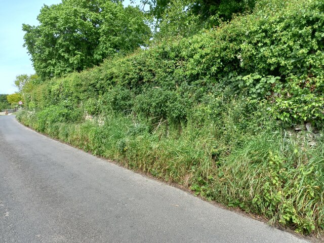
Aislaby is a civil parish located in the county of Yorkshire, England. It is situated in the district of Scarborough, approximately 6 miles west of Whitby. The village is nestled in the picturesque Esk Valley, surrounded by beautiful countryside and rolling hills.
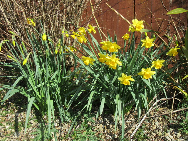
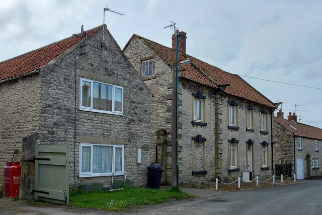
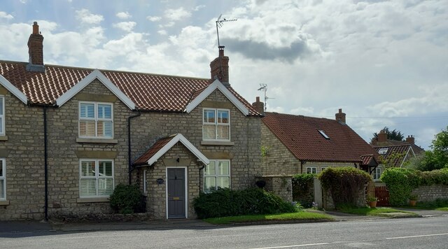
Aislaby is a small and tranquil village, consisting of a few scattered houses and cottages. The population of the parish is relatively small, with just over 200 residents according to the latest census. The village is known for its peaceful atmosphere and scenic beauty, making it a popular destination for nature lovers and those seeking a quiet retreat.
One of the notable features of Aislaby is its close proximity to the River Esk. The river flows through the village, providing a picturesque backdrop and offering opportunities for fishing and boating. Aislaby also boasts a charming village green, which serves as a gathering place for locals and visitors alike.
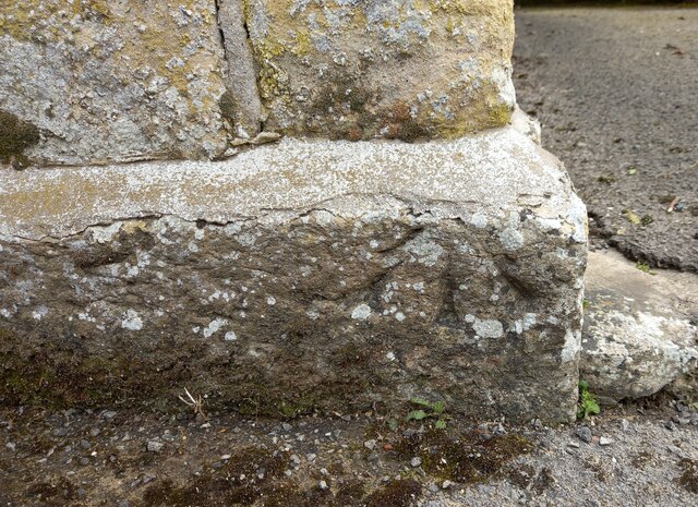
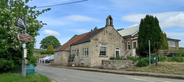
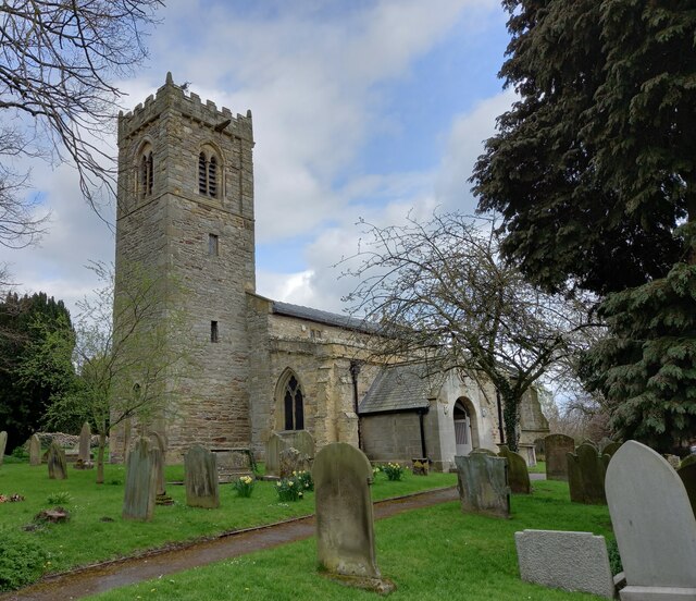
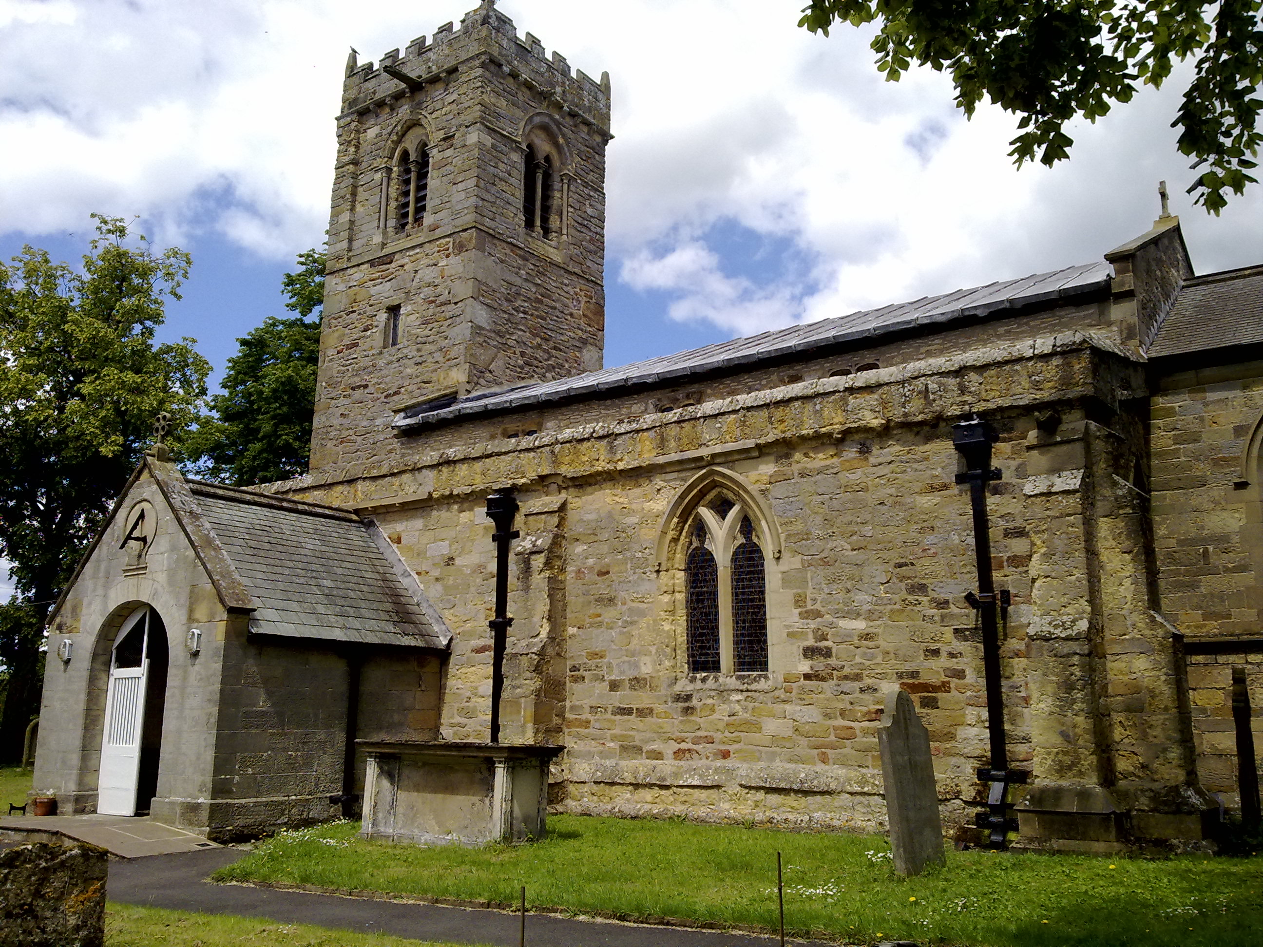
Despite its small size, Aislaby has a rich history and is home to several historic buildings. The parish church, dedicated to St Margaret, is a prominent landmark in the village. Dating back to the 12th century, it showcases beautiful architecture and holds regular services for the community.
Overall, Aislaby is a hidden gem in the heart of Yorkshire, offering a peaceful and idyllic setting for those looking to escape the hustle and bustle of city life. With its stunning natural surroundings and historic charm, it is a place that truly captures the essence of rural England.
If you have any feedback on the listing, please let us know in the comments section below.
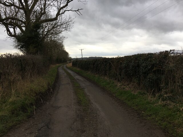
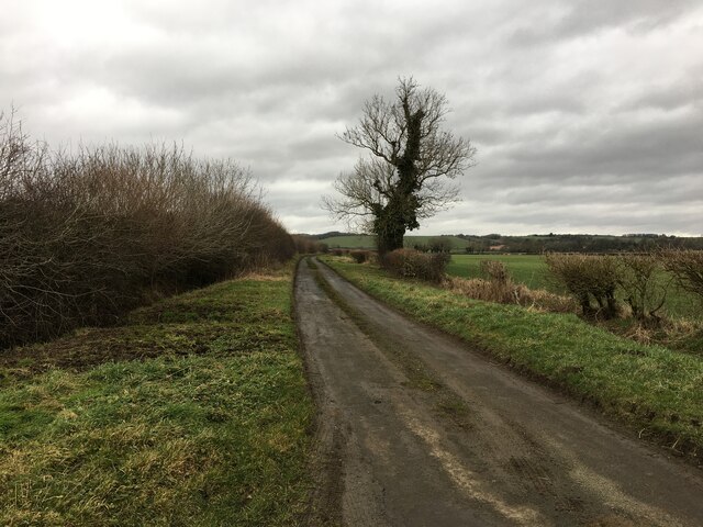
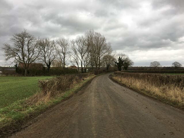
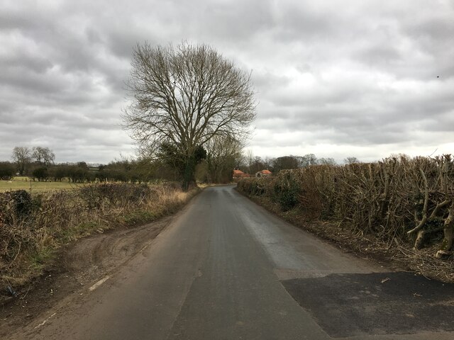
Aislaby Images
Images are sourced within 2km of 54.261856/-0.813413 or Grid Reference SE7785. Thanks to Geograph Open Source API. All images are credited.
Aislaby is located at Grid Ref: SE7785 (Lat: 54.261856, Lng: -0.813413)
Division: North Riding
Administrative County: North Yorkshire
District: Ryedale
Police Authority: North Yorkshire
What 3 Words
///propelled.trails.scenes. Near Pickering, North Yorkshire
Nearby Locations
Related Wikis

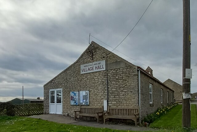
Aislaby, Ryedale
Aislaby is a hamlet and civil parish near the English town of Pickering, North Yorkshire. It lies on the A170 to the west of Pickering between Wrelton...
Middleton, east North Yorkshire
Middleton is a small village and civil parish in North Yorkshire, England. It is situated on the A170 road to the west of Pickering. There is a Church...

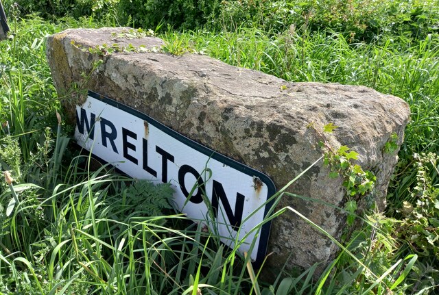
Wrelton
Wrelton is a village and civil parish in North Yorkshire, England. It is on the A170 road and 2 miles west of Pickering. == History == Wrelton is mentioned...

Costa Beck
Costa Beck is a small river in the Ryedale district of North Yorkshire, England. It also lends its name to an archaeological site. == Watercourse == The...
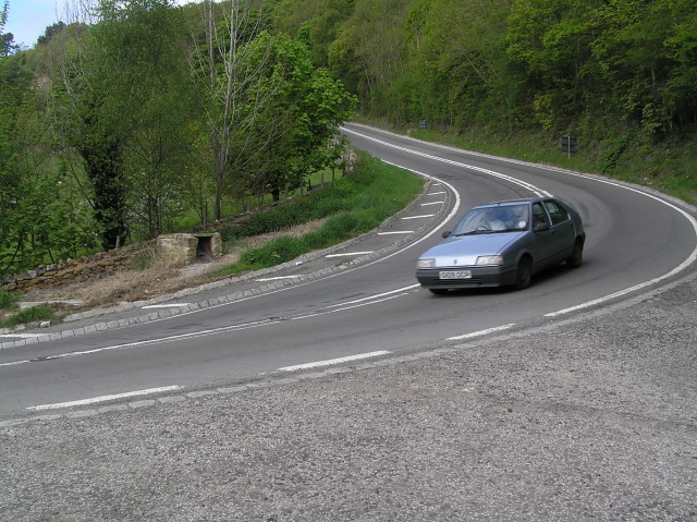
A170 road
The A170 is an A road in North Yorkshire, England that links Thirsk with Scarborough through Hambleton, Helmsley, Kirkbysmoorside, Pickering. The road...

Lady Lumley's School
Lady Lumley's School is a coeducational secondary school and sixth form located in Pickering, North Yorkshire, England. It was founded in Thornton-le-Dale...
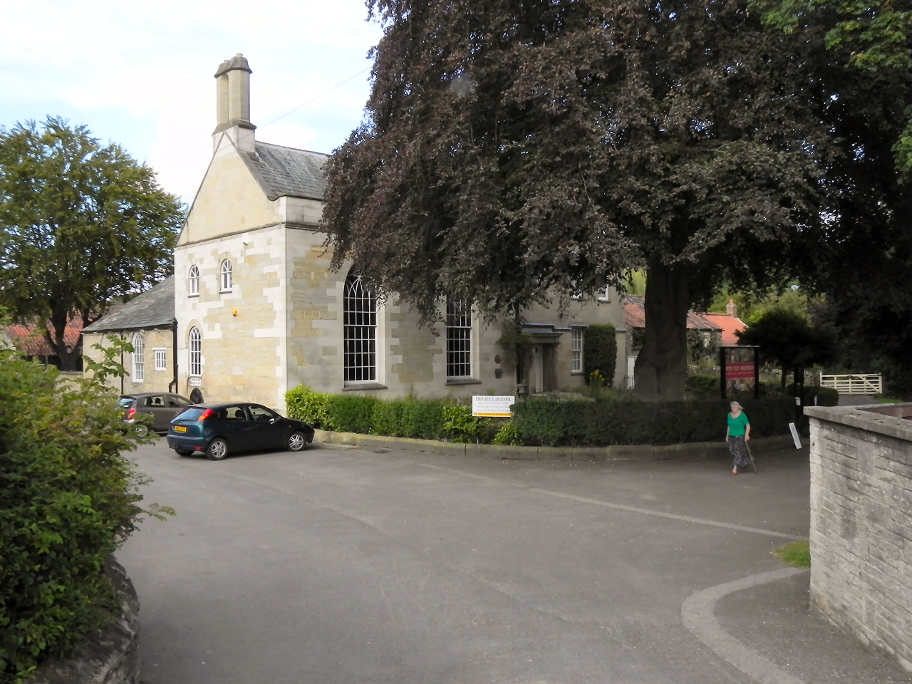
Beck Isle Museum
The Beck Isle Museum of Rural Life is a social history museum in Pickering, North Yorkshire, England. The museum features period business displays including...
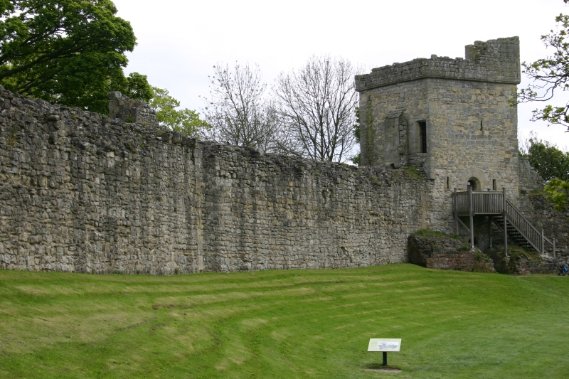
Pickering Castle
Pickering Castle is a motte-and-bailey fortification in Pickering, North Yorkshire, England. == Design == Pickering Castle was originally a timber and...
Nearby Amenities
Located within 500m of 54.261856,-0.813413Have you been to Aislaby?
Leave your review of Aislaby below (or comments, questions and feedback).