Aislaby

Settlement in Yorkshire Ryedale

England

Aislaby

Near Coppice Farm Looking SE across the Vale of Pickering towards The Wolds in the distance.
Near Coppice Farm Credit: T Eyre

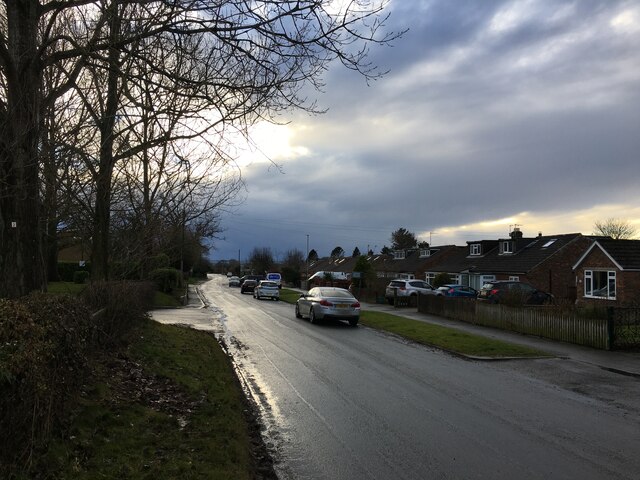
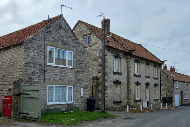
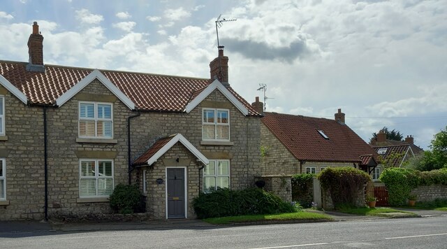
Aislaby is a small village located in the borough of Scarborough, in the county of Yorkshire, England. Situated about 5 miles southwest of the town of Whitby, it is nestled in the picturesque Esk Valley, surrounded by rolling countryside and beautiful landscapes.

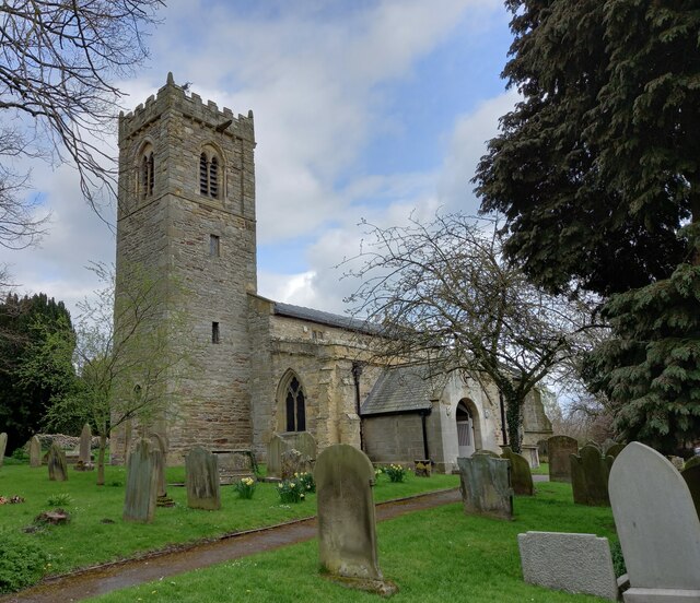
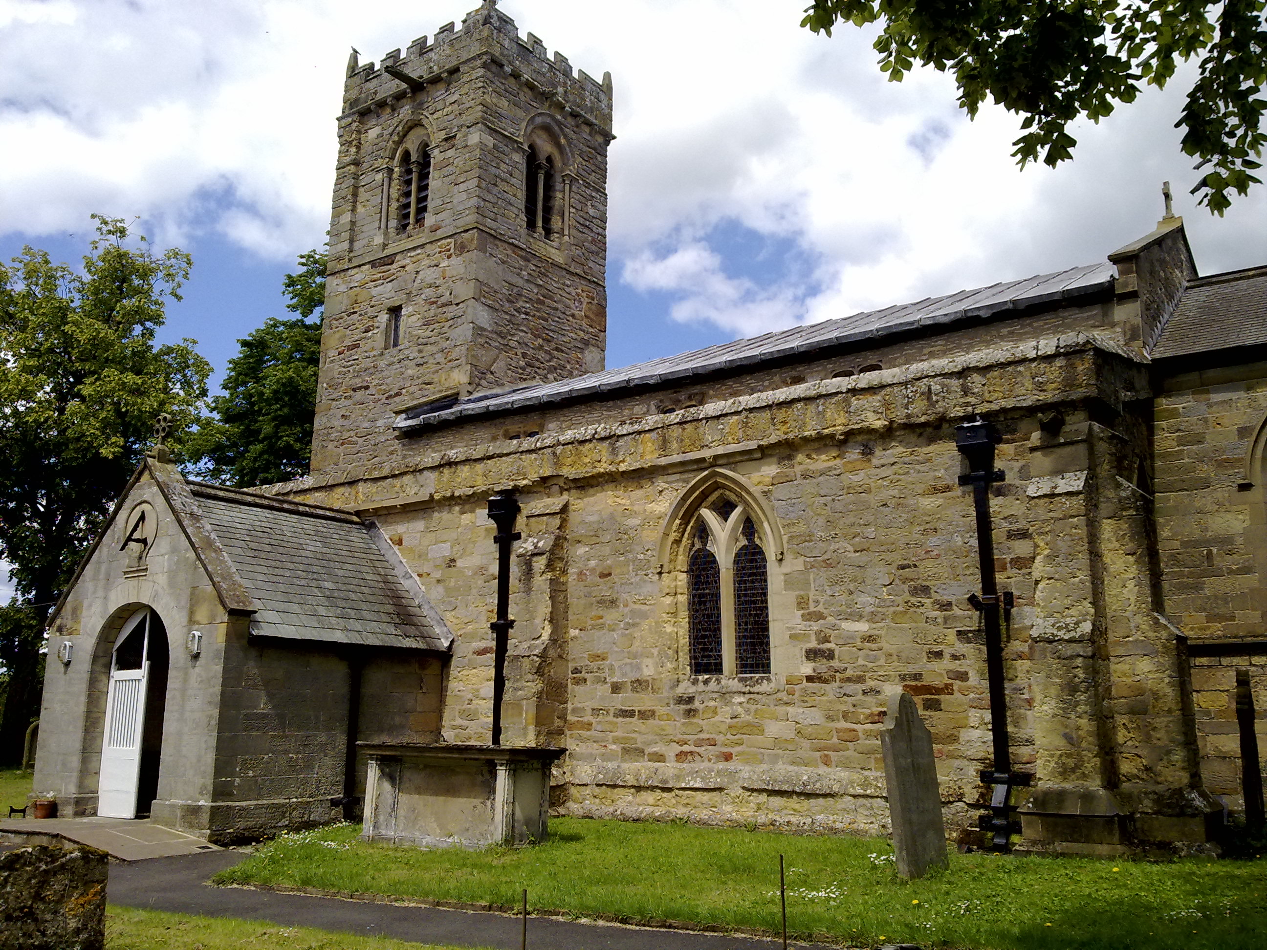
The village is home to a close-knit community with a population of approximately 400 residents. It is characterized by its tranquil atmosphere and a strong sense of community spirit. Aislaby boasts a charming village green, complete with a traditional red telephone booth, and a historic church dating back to the 12th century, St. Margaret's Church.

The surrounding area offers ample opportunities for outdoor activities, with numerous walking trails and scenic spots to explore. The River Esk flows through the village, providing a peaceful setting for fishing enthusiasts or those simply looking to enjoy a leisurely riverside stroll.

While Aislaby does not have its own shops or amenities, it benefits from its proximity to nearby towns, such as Whitby, where residents can find a range of services and facilities. The village is well-connected to the wider region, with good transport links to neighboring towns and cities.

Overall, Aislaby offers a serene and idyllic lifestyle for its residents, with its natural beauty, rich history, and sense of community making it a truly special place to call home.

If you have any feedback on the listing, please let us know in the comments section below.
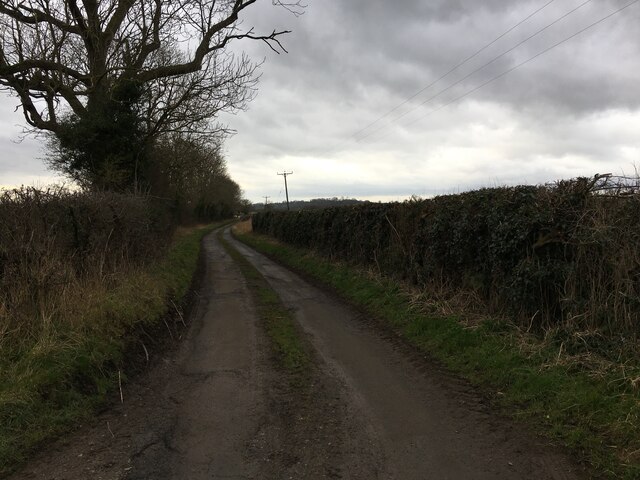
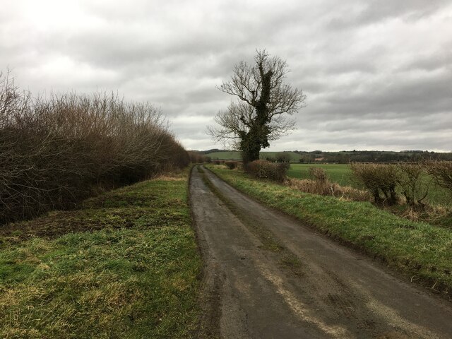
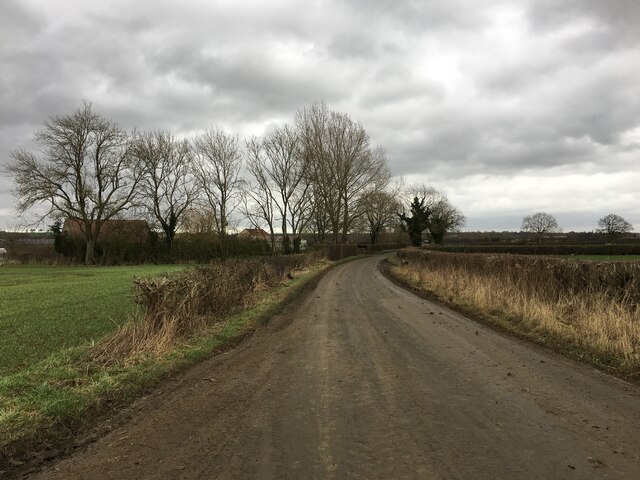
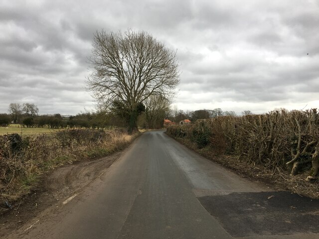
Aislaby Images

Images are sourced within 2km of 54.261042/-0.810151 or Grid Reference SE7785. Thanks to Geograph Open Source API. All images are credited.

Near Coppice Farm Looking SE across the Vale of Pickering towards The Wolds in the distance.
Near Coppice Farm
Looking SE across the Vale of Pickering towards The Wolds in the distance.
Aislaby Carr Lane
Aislaby Carr Lane
Aislaby Carr Lane
Aislaby Carr Lane
Minor road near Wythe Syke Farm
Street Lane near Pickering
Swainsea Lane, Pickering
Daffodils Daffodils by the side of Marton Lane.
Daffodils
Daffodils by the side of Marton Lane.
Wrelton, Goshen According to the OS benchmark database there is a pivot benchmark cut into the wall on the north side of the road. The wall is thick in hawthorn, ivy and other hedgerow plants, making it impossible to search for the mark.
Wrelton, Goshen
According to the OS benchmark database there is a pivot benchmark cut into the wall on the north side of the road. The wall is thick in hawthorn, ivy and other hedgerow plants, making it impossible to search for the mark.
Wrelton, Broomfield Cottage The benchmark is cut into the right hand cornerstone of the gable end of the cottage.
Wrelton, Broomfield Cottage
The benchmark is cut into the right hand cornerstone of the gable end of the cottage.
Wrelton, Broomfield Cottage There is a benchmark cut into the right hand cornerstone of the gable end of the cottage. It is located behind the wheelie bin.
Wrelton, Broomfield Cottage
There is a benchmark cut into the right hand cornerstone of the gable end of the cottage. It is located behind the wheelie bin.
Wrelton, village hall The benchmark is cut into the lowest course on the right of the front face of the hall.
Wrelton, village hall
The benchmark is cut into the lowest course on the right of the front face of the hall.
Wrelton, village hall There is a benchmark cut into the lowest course on the right of the front face of the hall.
Wrelton, village hall
There is a benchmark cut into the lowest course on the right of the front face of the hall.
Wrelton, Warwick Cottage There is a pivot benchmark cut into the stone window sill to the left of the front door.
Wrelton, Warwick Cottage
There is a pivot benchmark cut into the stone window sill to the left of the front door.
Wrelton, Warwick Cottage There is a pivot benchmark cut into the stone window sill of the cottage, and this is the sill to the left of the front door.
Wrelton, Warwick Cottage
There is a pivot benchmark cut into the stone window sill of the cottage, and this is the sill to the left of the front door.
Wrelton, roadside village sign The rivet benchmark is cut into the top of the roadside village sign.
Wrelton, roadside village sign
The rivet benchmark is cut into the top of the roadside village sign.
Wrelton, roadside village sign There is a rivet benchmark cut into the top of the roadside village sign.
Wrelton, roadside village sign
There is a rivet benchmark cut into the top of the roadside village sign.
Middleton, St Andrew's church The bolt benchmark is cut into the west facing wall of the church.
Middleton, St Andrew's church
The bolt benchmark is cut into the west facing wall of the church.
Middleton, St Andrew's church There is a bolt benchmark cut into the west facing wall of the church.
Middleton, St Andrew's church
There is a bolt benchmark cut into the west facing wall of the church.
Show me another place!

Aislaby is located at Grid Ref: SE7785 (Lat: 54.261042, Lng: -0.810151)

Division: North Riding

Administrative County: North Yorkshire

District: Ryedale

Police Authority: North Yorkshire

What 3 Words

///unloaded.pack.charging. Near Pickering, North Yorkshire

Related Wikis

Aislaby, Ryedale

Aislaby is a hamlet and civil parish near the English town of Pickering, North Yorkshire. It lies on the A170 to the west of Pickering between Wrelton...

Middleton, east North Yorkshire

Middleton is a small village and civil parish in North Yorkshire, England. It is situated on the A170 road to the west of Pickering. There is a Church...
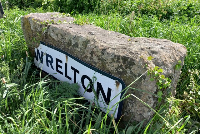
Wrelton

Wrelton is a village and civil parish in North Yorkshire, England. It is on the A170 road and 2 miles west of Pickering. == History == Wrelton is mentioned...

Costa Beck

Costa Beck is a small river in the Ryedale district of North Yorkshire, England. It also lends its name to an archaeological site. == Watercourse == The...

Lady Lumley's School

Lady Lumley's School is a coeducational secondary school and sixth form located in Pickering, North Yorkshire, England. It was founded in Thornton-le-Dale...
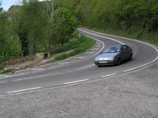
A170 road

The A170 is an A road in North Yorkshire, England that links Thirsk with Scarborough through Hambleton, Helmsley, Kirkbysmoorside, Pickering. The road...
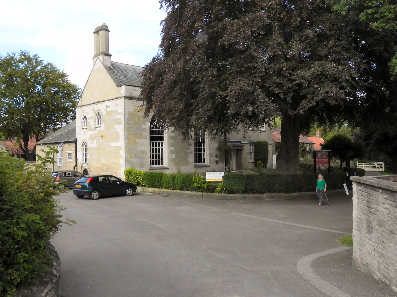
Beck Isle Museum

The Beck Isle Museum of Rural Life is a social history museum in Pickering, North Yorkshire, England. The museum features period business displays including...
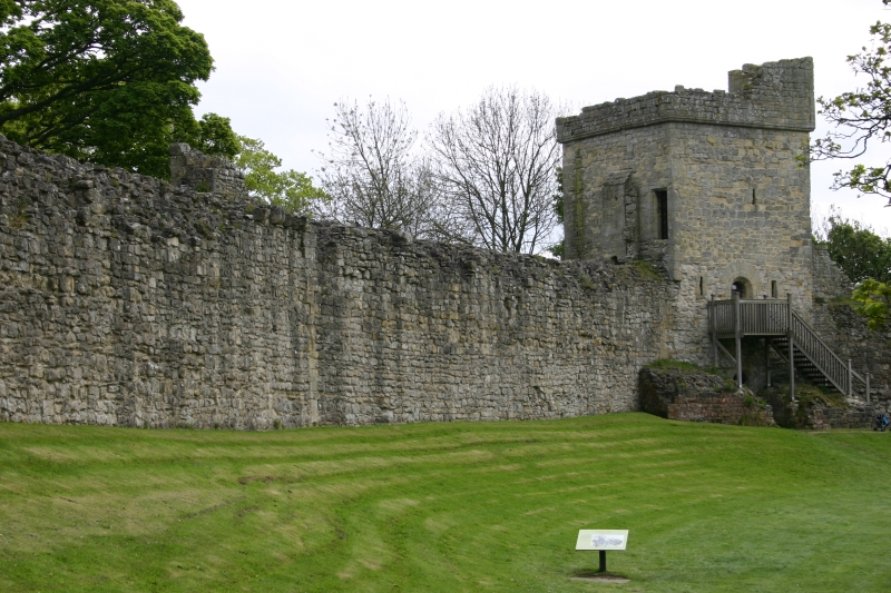
Pickering Castle

Pickering Castle is a motte-and-bailey fortification in Pickering, North Yorkshire, England. == Design == Pickering Castle was originally a timber and...

Nearby Amenities

Located within 500m of 54.261042,-0.810151
Telephone
Booth: KX100
Covered: booth
Operator: British Telecom
Survey Date: 27/08/2021
Lat/Long: 54.2590287/-0.8037681
Bench
Backrest: yes
Mapillary: 981311085946000
Survey Date: 2018-06-13
Lat/Long: 54.2589861/-0.8038539
Aislaby
Place: hamlet
Wikidata: Q781356
Wikipedia: en:Aislaby, Ryedale
Lat/Long: 54.2610361/-0.8097788
Post Box
Operator: Royal Mail
Post Box Type: lamp
Ref: YO18 69
Royal Cypher: EIIR
Royal Cypher Wikidata: Q33102113
Lat/Long: 54.261099/-0.8100585
Disused Amenity: post_box
Note: no collection plate. aperture blocked up 02/09/17
Post Box Type: wall
Ref: YO18 69
Royal Cypher: EIIR
Lat/Long: 54.2611414/-0.8107988
Man Made: utility_pole
Lat/Long: 54.2586975/-0.80441
Grit Bin
Lat/Long: 54.2588361/-0.8036598
The data included in this document is from www.openstreetmap.org. The data is made available under ODbL.

Have you been to Aislaby?

Leave your review of Aislaby below (or comments, questions and feedback).