Aislaby

Settlement in Yorkshire Scarborough

England

Aislaby

The path by Manor Farm Cottages A glorious day with a wonderful view over the valley from our holiday cottage.
The path by Manor Farm Cottages Credit: Malcolm Neal

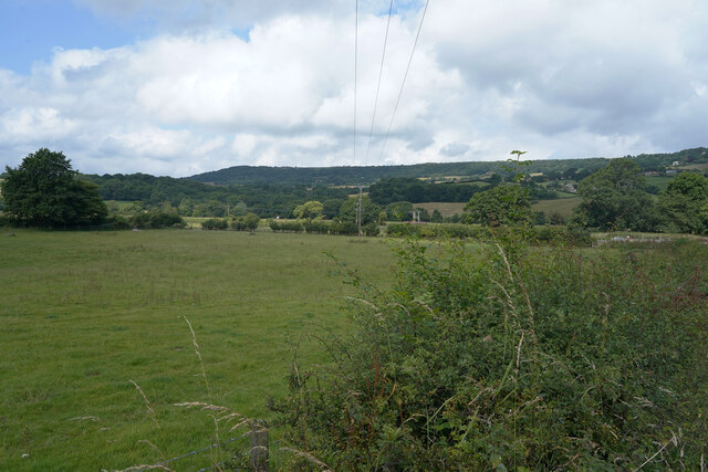
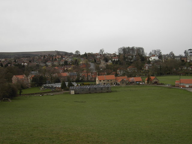
Aislaby is a small village located in the county of Yorkshire, England. It is situated in the picturesque Esk Valley, approximately 3 miles west of Whitby and 15 miles northeast of the town of Pickering. The village is nestled in a tranquil and rural setting, surrounded by rolling hills and stunning countryside.

Aislaby boasts a rich history, with evidence of human habitation dating back to the Roman era. The village is mentioned in the Domesday Book of 1086, where it is recorded as "Eleslai." Throughout the centuries, Aislaby has witnessed numerous changes and developments, but it has managed to retain its traditional charm and character.

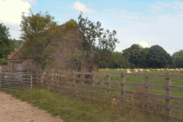
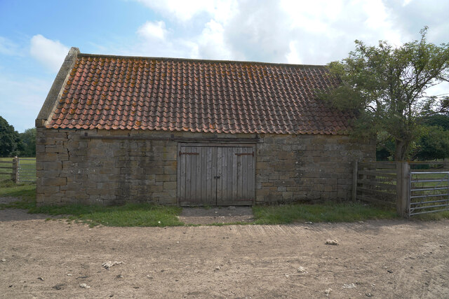
The village is primarily residential, with a small population of around 300 people. The houses in Aislaby are mostly traditional stone-built cottages, adding to its timeless appeal. There is a sense of community spirit in the village, with residents actively participating in local events and initiatives.

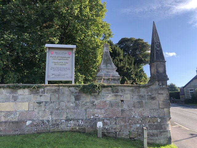
Despite its small size, Aislaby offers several amenities to its residents and visitors. These include a village hall, a church, and a popular pub that serves delicious traditional Yorkshire food. The village is also surrounded by beautiful walking trails, making it a haven for outdoor enthusiasts and nature lovers.

Overall, Aislaby is a quaint and idyllic village that provides a peaceful escape from the hustle and bustle of city life. With its rich history, stunning scenery, and close proximity to popular tourist destinations like Whitby, Aislaby offers a truly unique experience for those seeking a taste of rural Yorkshire.

If you have any feedback on the listing, please let us know in the comments section below.

Aislaby Images

Images are sourced within 2km of 54.465812/-0.677711 or Grid Reference NZ8508. Thanks to Geograph Open Source API. All images are credited.

The path by Manor Farm Cottages A glorious day with a wonderful view over the valley from our holiday cottage.
The path by Manor Farm Cottages
A glorious day with a wonderful view over the valley from our holiday cottage.
The games field The stone former gate pillars make for unusual but very sturdy goal posts.
The games field
The stone former gate pillars make for unusual but very sturdy goal posts.
The edge of the football field The only concession to football is the field has been closely mown but it is fine for children to play in.
The edge of the football field
The only concession to football is the field has been closely mown but it is fine for children to play in.
Coach Road Travelling along the western side of Sleights on the A169 as we drive towrds Whitby.
Coach Road
Travelling along the western side of Sleights on the A169 as we drive towrds Whitby.
The A169 We are over the bridge that vrosses the river and, to the south, the railway line.
The A169
We are over the bridge that vrosses the river and, to the south, the railway line.
The A169 The road the A169 is somewhat variable in the density of traffic, sometimes quite empty at others quite crowded.
The A169
The road the A169 is somewhat variable in the density of traffic, sometimes quite empty at others quite crowded.
An empty A169 The heat of the previous week has dried out the grass verges, which are looking quite pale.
An empty A169
The heat of the previous week has dried out the grass verges, which are looking quite pale.
A footpath to the railway line The rail line runs deep in the Esk valley and the trains can be heard but hardly seen from the footpath.
A footpath to the railway line
The rail line runs deep in the Esk valley and the trains can be heard but hardly seen from the footpath.
Our cottage view This is the view from the small terrace by our holiday cottage for the week.
Our cottage view
This is the view from the small terrace by our holiday cottage for the week.
A footpath with a concrete surface The footpath eventually leads to a railway line in the Esk valley.
A footpath with a concrete surface
The footpath eventually leads to a railway line in the Esk valley.
A new pipe has been put in the ground Not sure if this is a new pipe line running across the field but I cannot think of another reason for a covered trench across a field.
A new pipe has been put in the ground
Not sure if this is a new pipe line running across the field but I cannot think of another reason for a covered trench across a field.
A few sheep in the meadow Yesterday the sheep were in a field further up the hill.
A few sheep in the meadow
Yesterday the sheep were in a field further up the hill.
An empty field Looking over the hedge across an empty field used for grazing animals.
An empty field
Looking over the hedge across an empty field used for grazing animals.
A barn in a field There are many sheep in the field behind the barn and other fields are empty of stock.
A barn in a field
There are many sheep in the field behind the barn and other fields are empty of stock.
Looks like a new roof Compared to many barns this one looks well looked after with a fairly new roof and sturdy doors.
Looks like a new roof
Compared to many barns this one looks well looked after with a fairly new roof and sturdy doors.
The remains of St. John's chapel This is all that remains of the old sandstone chapel in Esk Dale.
The remains of St. John's chapel
This is all that remains of the old sandstone chapel in Esk Dale.
Near Iburngate The hill looks less steep than it was.
Near Iburngate
The hill looks less steep than it was.
Wall of St John the Evangelist Church At the junction of Iburndale Lane and Coach Road. The walls and corner obelisks are listed, grade II, as well as the monument just inside the walls. This is a monument to members of the Coates family, from the late C18
Wall of St John the Evangelist Church
At the junction of Iburndale Lane and Coach Road. The walls and corner obelisks are listed, grade II, as well as the monument just inside the walls. This is a monument to members of the Coates family, from the late C18
Show me another place!

Aislaby is located at Grid Ref: NZ8508 (Lat: 54.465812, Lng: -0.677711)

Division: North Riding

Administrative County: North Yorkshire

District: Scarborough

Police Authority: North Yorkshire

What 3 Words

///brand.abandons.nowadays. Near Sleights, North Yorkshire

Nearby Locations

Aislaby Aislaby

Related Wikis

Aislaby, Scarborough

Aislaby ( AYZ-əl-bi) is a village and civil parish in the Scarborough district of North Yorkshire, England. It is situated near the town of Whitby on the...

Aislaby Quarry

Aislaby Quarry is a sandstone quarry in the village of Aislaby, near to Whitby in North Yorkshire, England. The quarry produces sandstone which has been...

Briggswath

Briggswath is a village in the Scarborough district of North Yorkshire, England. the settlement is on the north bank of the River Esk, upstream of Ruswarp...

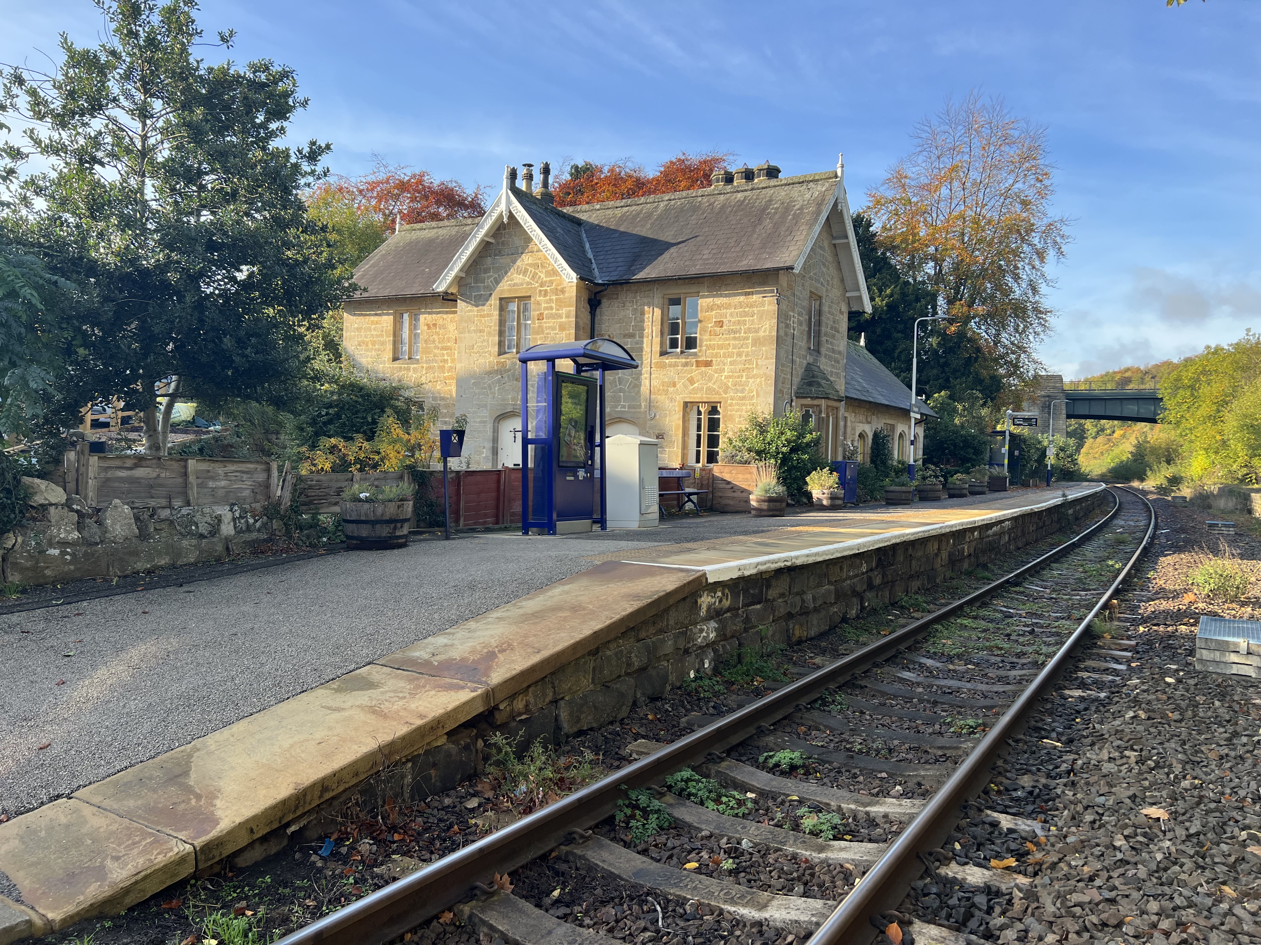
Sleights railway station

Sleights is a railway station on the Esk Valley Line, which runs between Middlesbrough and Whitby via Nunthorpe. The station, situated 2 miles 78 chains...

Sleights

Sleights is a village in North Yorkshire, England. Located in the Esk Valley in the postal region of Whitby, the village is part of the civil parish of...

Newholm-cum-Dunsley

Newholm-cum-Dunsley is a civil parish in the Scarborough district of North Yorkshire, England. According to the 2011 UK census, Newholm-cum-Dunsley parish...

Ruswarp

Ruswarp village lies within the Scarborough borough of North Yorkshire, England. It is around 1.8 miles (2.9 km) from Whitby, at the junction of the B1410...

Hutton Mulgrave

Hutton Mulgrave is a village and civil parish in the Scarborough district of North Yorkshire, England. According to the 2001 UK census, Hutton Mulgrave...

Nearby Amenities

Located within 500m of 54.465812,-0.677711
Aislaby
Place: village
Lat/Long: 54.4661781/-0.6746677
Power: pole
Source: Bing
Lat/Long: 54.4669596/-0.6806298
Power: pole
Source: Bing
Lat/Long: 54.4671795/-0.6792596
Power: pole
Source: Bing
Lat/Long: 54.4674425/-0.6776739
Power: pole
Source: Bing
Lat/Long: 54.4680325/-0.6764766
Power: pole
Source: Bing
Lat/Long: 54.4682922/-0.6759161
Power: pole
Source: Bing
Lat/Long: 54.4687053/-0.6750578
Power: pole
Source: Bing
Lat/Long: 54.4694388/-0.6743392
Post Box
Collection Times: Mo-Fr 17:00; Sa 10:45
Operator: Royal Mail
Post Box Mounting: wooden_post
Post Box Type: lamp
Ref: YO21 85
Source: survey
Lat/Long: 54.4668547/-0.672445
Pub
The Forge
Addr City: Whitby
Addr Housenumber: 22
Addr Postcode: YO21 1SW
Addr Street: Main Road
Addr Suburb: Aislaby
Source: survey
Lat/Long: 54.4667628/-0.6739792
Post Box
Collection Times: Mo-Fr 09:00; Sa 07:00
Operator: Royal Mail
Post Box Type: wall
Ref: YO21 42D
Royal Cypher: GR
Royal Cypher Wikidata: Q33102273
Lat/Long: 54.4657669/-0.677638
Bus Stop
Bench: yes
Bus: yes
Naptan AtcoCode: 3200YNA90719
Naptan NaptanCode: 32090719
Public Transport: platform
Shelter: yes
Lat/Long: 54.4658575/-0.6780033
Toilets
Female: yes
Male: yes
Lat/Long: 54.4659035/-0.6780141
Historic: memorial
Lat/Long: 54.4658021/-0.6791057
Bus Stop
Bus: yes
Naptan AtcoCode: 3200YNB00735
Naptan NaptanCode: 32000735
Public Transport: platform
Lat/Long: 54.4657751/-0.6776856
Hiking: yes
Information: guidepost
Tourism: information
Lat/Long: 54.4657681/-0.6777218
Hiking: yes
Information: guidepost
Tourism: information
Lat/Long: 54.4627656/-0.6771545
Bench
Lat/Long: 54.4628451/-0.6771746
Bench
Lat/Long: 54.4646644/-0.678045
Defibrillator
Access: yes
Defibrillator Location: outside Aislaby Parish Hall
Emergency: defibrillator
Indoor: no
Lat/Long: 54.4662889/-0.6743086
Bench
Lat/Long: 54.4663191/-0.67426
The data included in this document is from www.openstreetmap.org. The data is made available under ODbL.

Have you been to Aislaby?

Leave your review of Aislaby below (or comments, questions and feedback).