Aislaby
Settlement in Durham
England
Aislaby
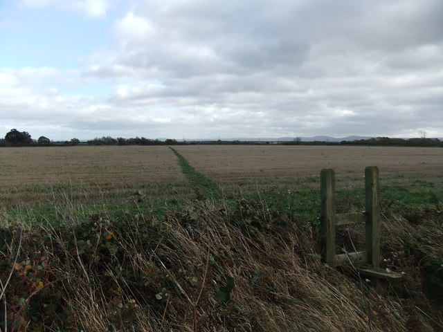
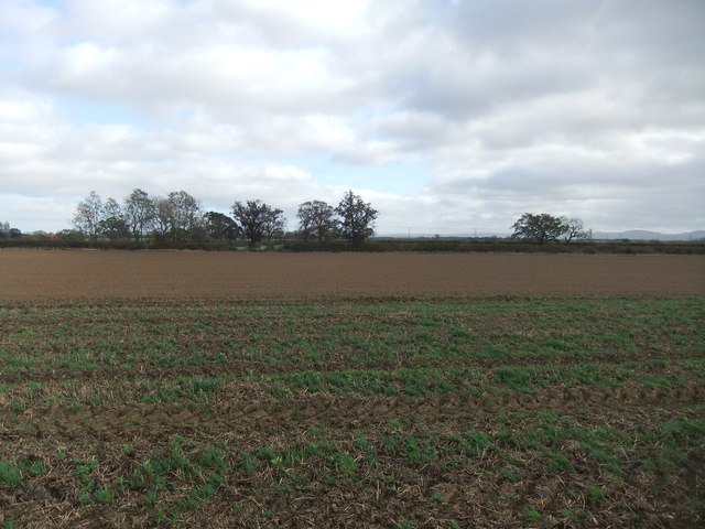
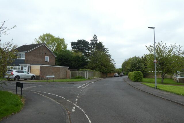
Aislaby is a small village located in County Durham, England. It is situated approximately 3 miles to the south-west of the town of Yarm, near the River Tees. The village is surrounded by picturesque countryside, with rolling hills and green fields.
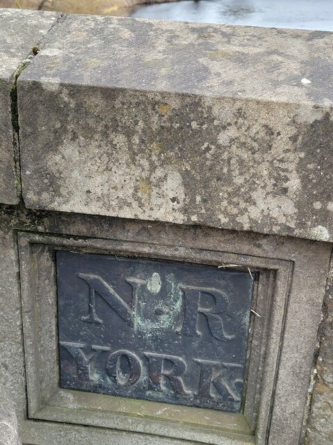
Aislaby has a rich history, with evidence of human settlement dating back to Roman times. The village is mentioned in the Domesday Book of 1086, where it is recorded as "Eislabi." In the past, Aislaby was primarily an agricultural community, with farming being the main source of livelihood for its residents.
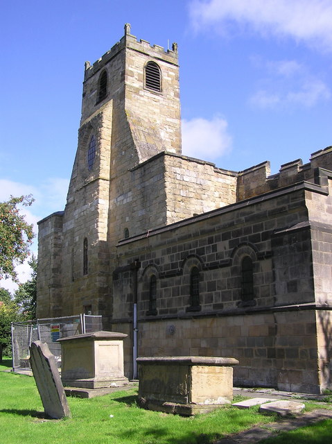
Today, Aislaby is a tranquil and close-knit community with a population of around 200 people. It has retained much of its traditional charm, with many old stone houses and farm buildings still standing. The village is known for its beautiful parish church, St. John the Evangelist, which dates back to the 12th century and features stunning stained-glass windows.
Although small, Aislaby has a strong sense of community spirit, with various social events and activities organized throughout the year. The village is also home to a primary school, providing education for local children.
Surrounded by scenic landscapes and with easy access to nearby towns and cities, Aislaby offers a peaceful and idyllic setting for residents and visitors alike. Whether exploring the historic sites, enjoying walks in the countryside, or simply experiencing the warmth of the community, Aislaby is a charming destination worth discovering.
If you have any feedback on the listing, please let us know in the comments section below.
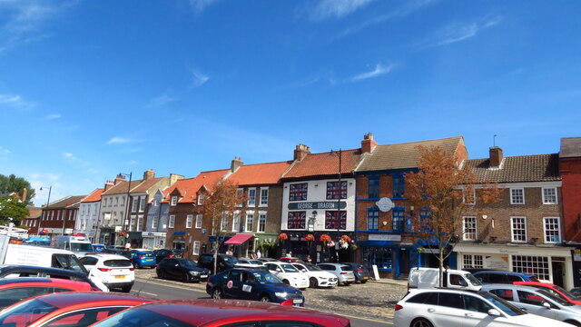
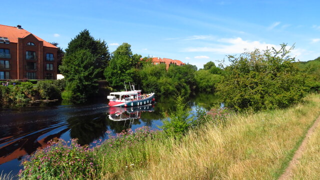
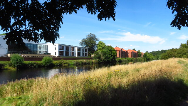
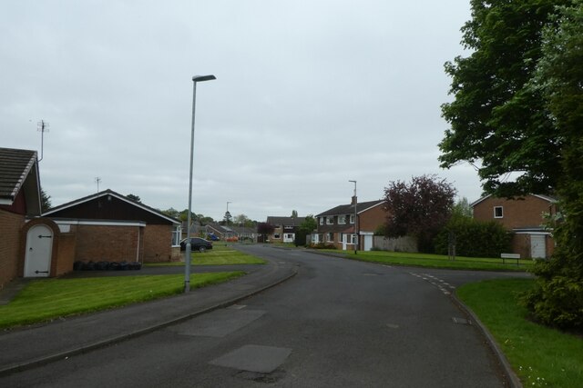
Aislaby Images
Images are sourced within 2km of 54.504961/-1.376868 or Grid Reference NZ4012. Thanks to Geograph Open Source API. All images are credited.

Aislaby is located at Grid Ref: NZ4012 (Lat: 54.504961, Lng: -1.376868)
Unitary Authority: Stockton-on-Tees
Police Authority: Cleveland
What 3 Words
///staring.snowstorm.polka. Near Yarm, Co. Durham
Nearby Locations
Related Wikis

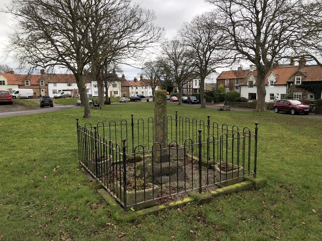
Aislaby, County Durham
Aislaby ( AYZ-əl-bi) is a small village and civil parish on the north bank of the River Tees within the borough of Stockton-on-Tees and the ceremonial...
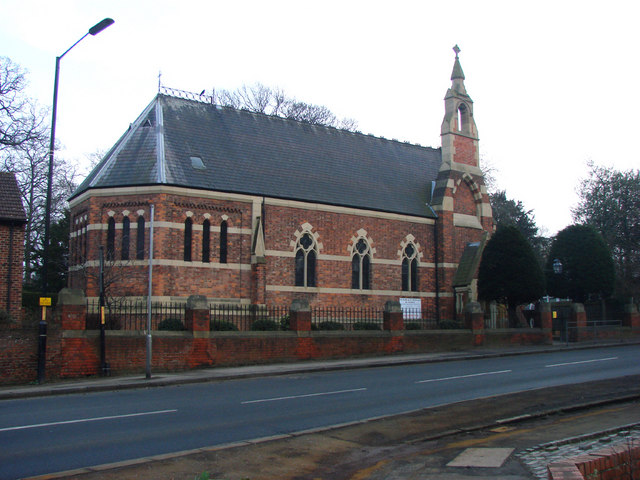
St Mary Magdalene, Yarm
St Mary Magdalene is a Church of England parish church in the town of Yarm, in the Borough of Stockton-on-Tees, North Yorkshire, England, which is dedicated...
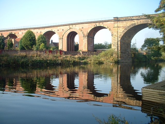
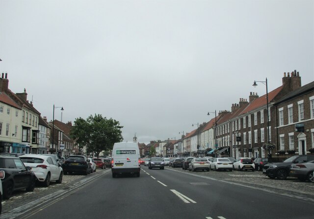
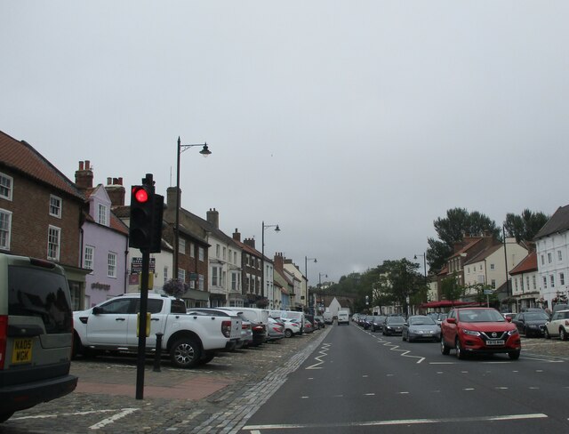
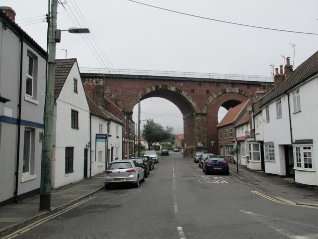
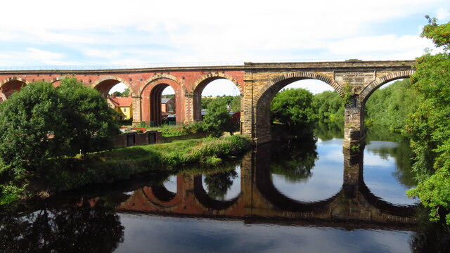
Yarm Viaduct
Yarm Viaduct is a railway viaduct carrying the railways above the town of Yarm in North Yorkshire, England. It crosses the River Tees which forms the boundary...

Yarm Methodist Church
Yarm Methodist Church is a Methodist church in the town of Yarm in the borough of Stockton-on-Tees, England. It is octagonal in shape. Built in 1763, John...
Ss Mary and Romuald, Yarm
St Mary and St Romuald is a Catholic parish church in Yarm, North Yorkshire, England. Administratively, it is part of the Diocese of Middlesbrough. �...

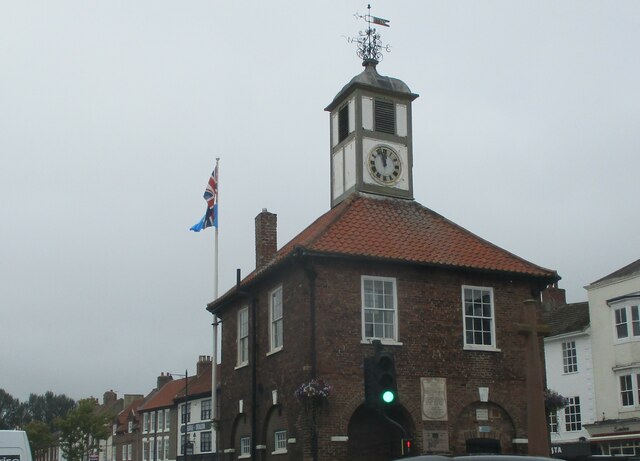
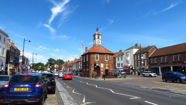
Yarm Town Hall
Yarm Town Hall is a municipal building in the High Street in Yarm, North Yorkshire, England. The structure, which is the meeting place of Yarm Town Council...

Yarm School
Yarm School is a co-educational independent day school in Yarm, North Yorkshire in the North East of England. The school accepts pupils aged 3–18 years...
Egglescliffe School
Egglescliffe School & Sixth Form College is a large Coeducational secondary school and sixth form located between Egglescliffe and Urlay Nook in the Borough...
Nearby Amenities
Located within 500m of 54.504961,-1.376868Have you been to Aislaby?
Leave your review of Aislaby below (or comments, questions and feedback).