Aislaby Carr
Downs, Moorland in Yorkshire Ryedale
England
Aislaby Carr

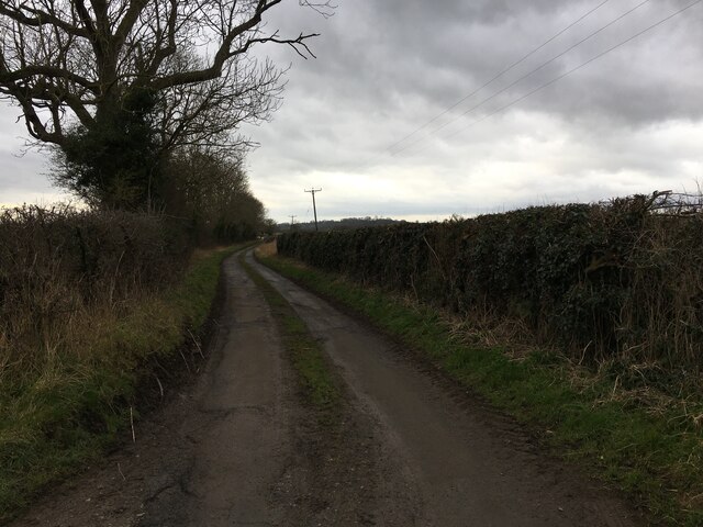
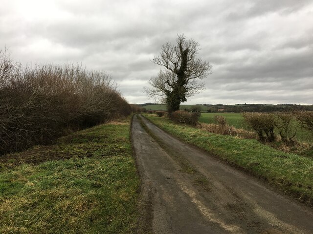
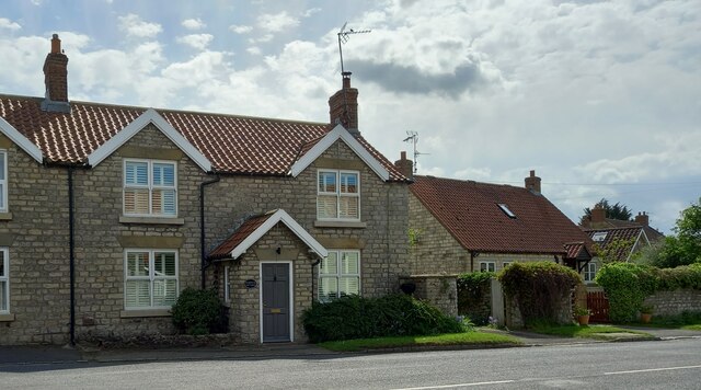
Aislaby Carr, located in the county of Yorkshire, England, is a picturesque area encompassing downs and moorland landscapes. The region is renowned for its natural beauty and captivating scenery, attracting visitors from near and far.
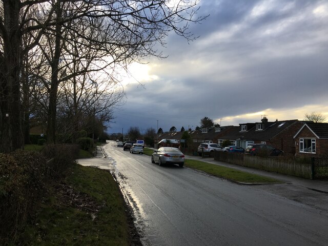
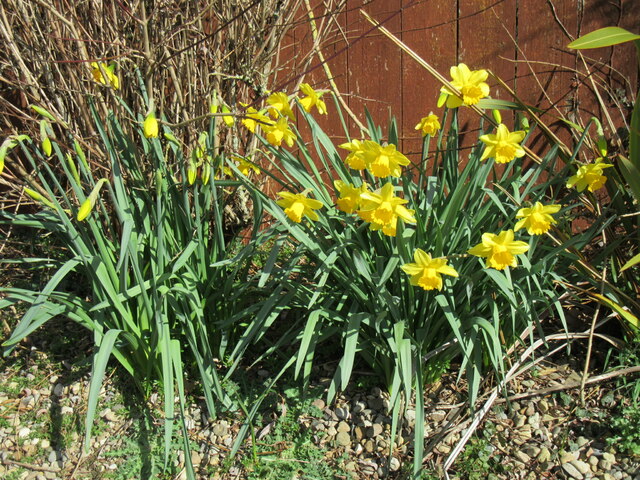
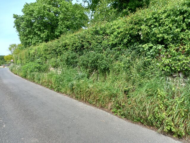
The downs of Aislaby Carr are characterized by gently rolling hills covered in lush grasslands. These slopes provide a stunning backdrop against the clear blue skies, creating a serene and peaceful atmosphere. The area is abundant in wildflowers, which add vibrant colors to the landscape during the spring and summer months.
Adjacent to the downs, the moorland of Aislaby Carr offers a more rugged and untamed environment. Here, visitors can explore vast expanses of heather-clad moors, dotted with scattered boulders and small ponds. The moorland is also home to various species of birds and wildlife, making it a popular spot for birdwatching and nature enthusiasts.
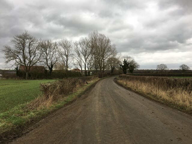
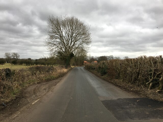
Aislaby Carr benefits from a temperate climate, with mild summers and cool winters. This allows for a diverse range of flora and fauna to thrive in the area. It is not uncommon to spot grazing sheep or cattle on the downs, adding to the rural charm of the landscape.
For those seeking outdoor activities, Aislaby Carr offers numerous walking and hiking trails, allowing visitors to fully immerse themselves in the natural beauty of the surroundings. The area is also well-served by local amenities, including quaint country pubs and accommodations, providing a warm welcome to visitors.
In summary, Aislaby Carr in Yorkshire is a captivating region that showcases the stunning beauty of downs and moorland landscapes. Its rich biodiversity, scenic vistas, and tranquil atmosphere make it a must-visit destination for nature lovers and outdoor enthusiasts.
If you have any feedback on the listing, please let us know in the comments section below.
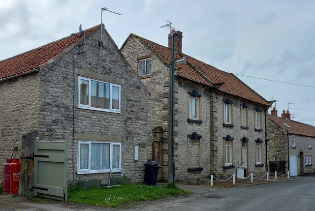
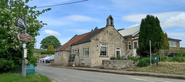
Aislaby Carr Images
Images are sourced within 2km of 54.254935/-0.81391231 or Grid Reference SE7785. Thanks to Geograph Open Source API. All images are credited.

Aislaby Carr is located at Grid Ref: SE7785 (Lat: 54.254935, Lng: -0.81391231)
Division: North Riding
Administrative County: North Yorkshire
District: Ryedale
Police Authority: North Yorkshire
What 3 Words
///forgotten.kebabs.overtime. Near Pickering, North Yorkshire
Nearby Locations
Related Wikis

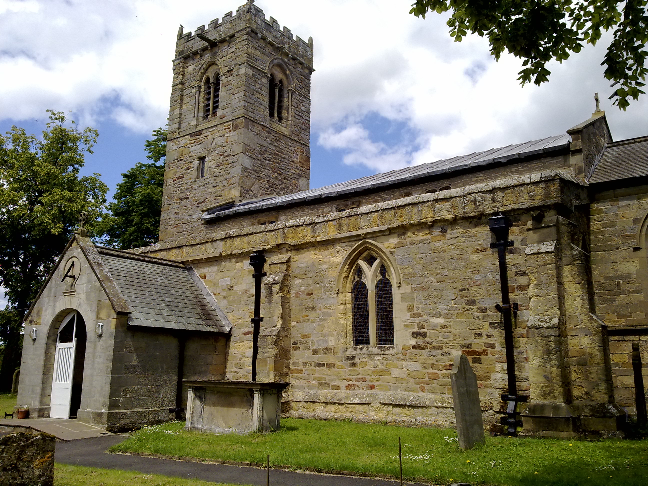
Aislaby, Ryedale
Aislaby is a hamlet and civil parish near the English town of Pickering, North Yorkshire. It lies on the A170 to the west of Pickering between Wrelton...
Middleton, east North Yorkshire
Middleton is a small village and civil parish in North Yorkshire, England. It is situated on the A170 road to the west of Pickering. There is a Church...

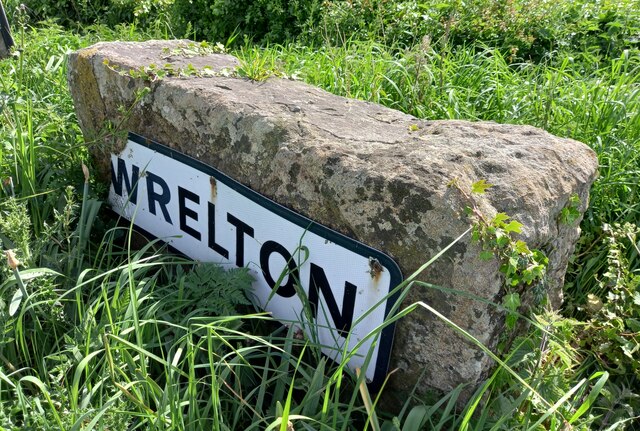
Wrelton
Wrelton is a village and civil parish in North Yorkshire, England. It is on the A170 road and 2 miles west of Pickering. == History == Wrelton is mentioned...

Costa Beck
Costa Beck is a small river in the Ryedale district of North Yorkshire, England. It also lends its name to an archaeological site. == Watercourse == The...

Lady Lumley's School
Lady Lumley's School is a coeducational secondary school and sixth form located in Pickering, North Yorkshire, England. It was founded in Thornton-le-Dale...
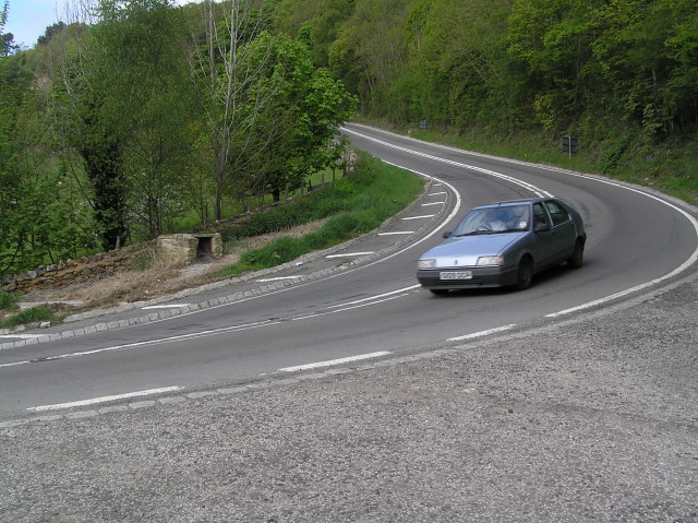
A170 road
The A170 is an A road in North Yorkshire, England that links Thirsk with Scarborough through Hambleton, Helmsley, Kirkbysmoorside, Pickering. The road...
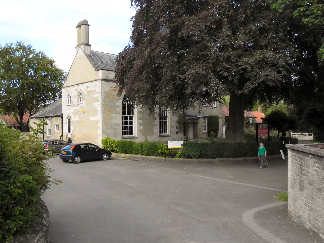
Beck Isle Museum
The Beck Isle Museum of Rural Life is a social history museum in Pickering, North Yorkshire, England. The museum features period business displays including...

Pickering railway station
Pickering railway station is the southern terminus of the North Yorkshire Moors Railway and serves the town of Pickering in North Yorkshire, England. The...
Nearby Amenities
Located within 500m of 54.254935,-0.81391231Have you been to Aislaby Carr?
Leave your review of Aislaby Carr below (or comments, questions and feedback).