Airmyn
Civil Parish in Yorkshire
England
Airmyn

Airmyn is a civil parish located in the East Riding of Yorkshire, England. It is situated approximately 2.5 miles east of Goole and 20 miles south of York. The parish covers an area of around 4.5 square miles and has a population of approximately 1,200 people.
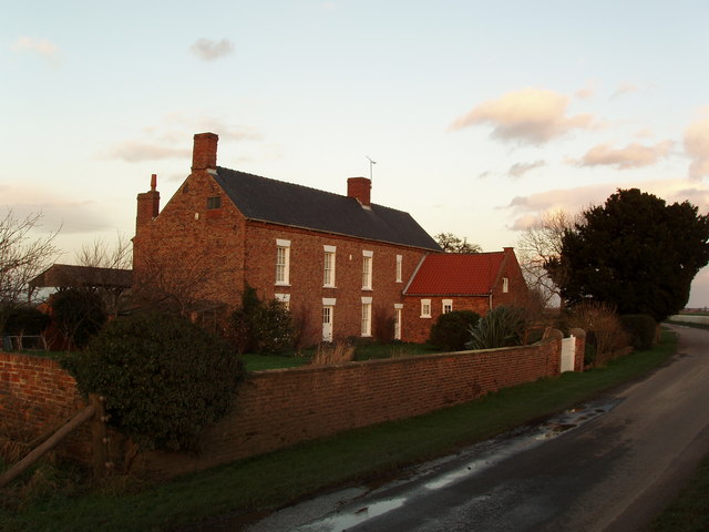
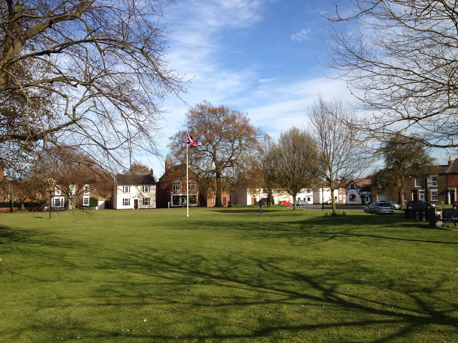
Airmyn is a rural village surrounded by picturesque countryside, making it an attractive place to live for those seeking a peaceful and idyllic setting. The village is known for its charming mix of traditional architecture, with many historic buildings still standing, including the Grade I listed church of St. David.
The village is well-served by amenities, including a primary school, a village hall, and a pub, which acts as a social hub for the community. It also benefits from good transport links, with the A614 road passing through the village, connecting it to nearby towns and cities.
The local economy is primarily agricultural, with farming playing a significant role in the area. There are also a few small businesses and shops in the village, providing essential services to the local population.
Airmyn is surrounded by beautiful natural landscapes, with the River Aire running through the parish, offering opportunities for leisure activities such as fishing and boating. The village also has several walking and cycling routes, allowing residents and visitors to explore the stunning countryside.
Overall, Airmyn is a charming and tranquil civil parish, offering a high quality of life for its residents and appealing to those seeking a close-knit community and a rural lifestyle.
If you have any feedback on the listing, please let us know in the comments section below.
Airmyn Images
Images are sourced within 2km of 53.707628/-0.932905 or Grid Reference SE7023. Thanks to Geograph Open Source API. All images are credited.


Airmyn is located at Grid Ref: SE7023 (Lat: 53.707628, Lng: -0.932905)
Division: West Riding
Unitary Authority: East Riding of Yorkshire
Police Authority: Humberside
What 3 Words
///egging.pouch.pursue. Near Rawcliffe, East Yorkshire
Nearby Locations
Related Wikis
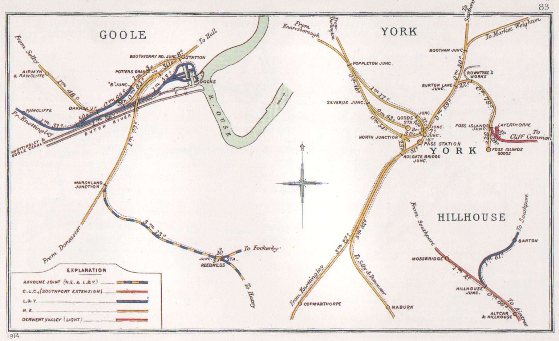
Airmyn railway station
Airmyn railway station was on the Selby to Goole Line. It served the village of Airmyn in the East Riding of Yorkshire, England. == History == The station...
Newland, North Yorkshire
Newland is a hamlet and civil parish in the Selby district of North Yorkshire, England. According to the 2011 UK census Newland parish had a population...
Rawcliffe, East Riding of Yorkshire
Rawcliffe (or Rawcliffe in Snaith) is a village and civil parish in the East Riding of Yorkshire, England on the border with North Yorkshire. It is situated...

Airmyn
Airmyn is a village and civil parish in the East Riding of Yorkshire, England. It is situated at the mouth of the River Aire with the River Ouse, approximately...
Nearby Amenities
Located within 500m of 53.707628,-0.932905Have you been to Airmyn?
Leave your review of Airmyn below (or comments, questions and feedback).