Airton
Civil Parish in Yorkshire Craven
England
Airton

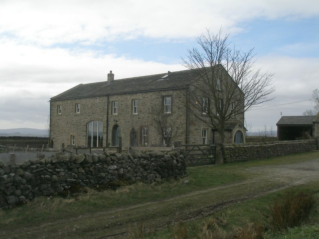
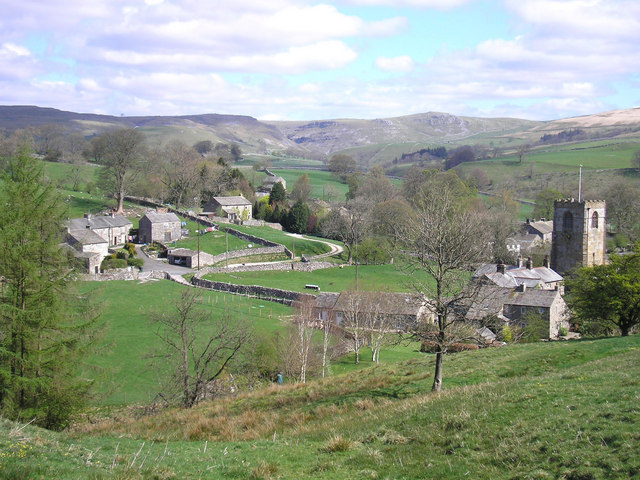
Airton is a civil parish located in the Craven district of North Yorkshire, England. Situated in the Yorkshire Dales National Park, the village is nestled in the picturesque Aire Valley, surrounded by rolling hills and stunning countryside. It lies approximately 6 miles north of Skipton and 15 miles west of the market town of Settle.
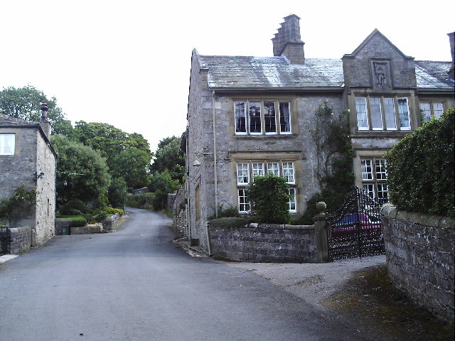
The village of Airton has a small population of around 200 residents. It is characterized by its traditional stone-built houses and charming rural atmosphere. The area is known for its agricultural heritage, with farming being a key industry in the region.
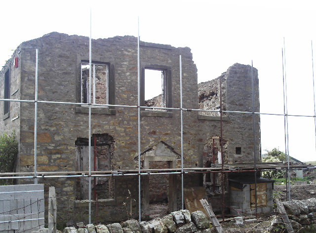
There are several notable landmarks in Airton, including the 18th-century St. Michael and All Angels Church, which serves as a focal point for the community. The village is also home to the impressive Airton Mill, a Grade II listed building that has been converted into residential accommodation.
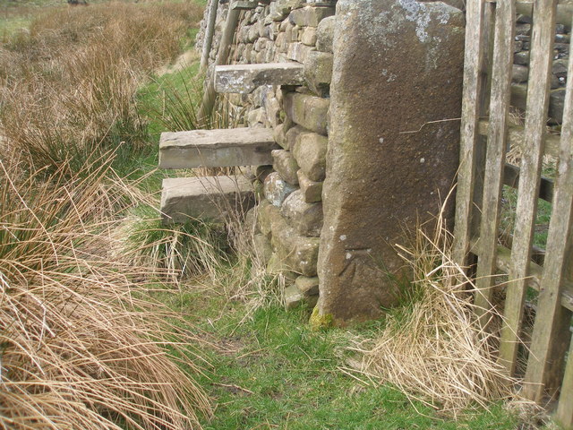
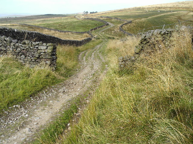
The surrounding countryside offers ample opportunities for outdoor activities, such as hiking, cycling, and fishing. The nearby River Aire provides a picturesque spot for angling enthusiasts. Additionally, the village is located near popular tourist destinations within the Yorkshire Dales, including Malham Cove and Gordale Scar.
Despite its small size, Airton boasts a strong sense of community, with various social events and activities taking place throughout the year. The village also benefits from a primary school, ensuring that families have access to education facilities within the local area.
Overall, Airton offers a peaceful and idyllic setting for those seeking a rural retreat in the heart of the Yorkshire Dales.
If you have any feedback on the listing, please let us know in the comments section below.
Airton Images
Images are sourced within 2km of 54.040017/-2.204403 or Grid Reference SD8660. Thanks to Geograph Open Source API. All images are credited.


Airton is located at Grid Ref: SD8660 (Lat: 54.040017, Lng: -2.204403)
Division: West Riding
Administrative County: North Yorkshire
District: Craven
Police Authority: North Yorkshire
What 3 Words
///galaxies.announced.midwinter. Near Hellifield, North Yorkshire
Nearby Locations
Related Wikis

St Michael's Church, Kirkby Malham
St Michael's Church is in the village of Kirkby Malham, North Yorkshire, England. It is an active Anglican parish church in the deanery of Bowland and...

Otterburn, North Yorkshire
Otterburn (historically known as Otterburn-in-Craven) is a village and civil parish in the Craven district of North Yorkshire, England. It is at OS Grid...

Scaleber Force
Scaleber Force (also known as Scaleber Foss and Scaleber Waterfall), is a 40-foot (12 m) high waterfall on Stockdale Beck, later the Long Preston Beck...

Hellifield engine shed
Hellifield Engine Shed was a railway locomotive depot adjacent to Hellifield railway station in North Yorkshire, England. The depot opened in 1880 and...
Hanlith
Hanlith is a small village and civil parish in the Craven district of North Yorkshire, England. It is situated near Kirkby Malham and the tourist attraction...

Scosthrop
Scosthrop is a civil parish in the Craven district of North Yorkshire, England. The population as taken at the 2011 Census was less than 100. Details are...
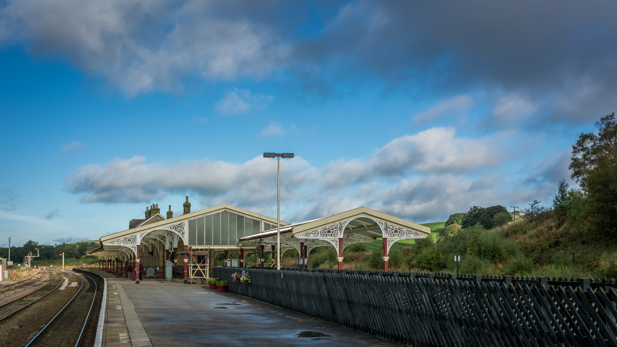
Hellifield railway station
Hellifield is a railway station on the Bentham Line, which runs between Leeds and Morecambe via Skipton. The station, situated 36 miles 17 chains (58.3...
Kirkby Malham
Kirkby Malham is a small village and civil parish in the Craven district of North Yorkshire, England. Situated in the Yorkshire Dales it lies 5 miles...
Nearby Amenities
Located within 500m of 54.040017,-2.204403Have you been to Airton?
Leave your review of Airton below (or comments, questions and feedback).