Airmyn Wood
Wood, Forest in Yorkshire
England
Airmyn Wood

Airmyn Wood is a picturesque woodland located in the East Riding of Yorkshire, England. Covering an area of approximately 200 acres, it is situated near the village of Airmyn and lies just south of the River Aire. The wood is part of the larger Airmyn Park, which includes meadows, ponds, and a variety of wildlife habitats.
The wood itself is predominantly made up of broadleaf species, such as oak, ash, and birch trees. These tall and majestic trees create a dense canopy, providing shelter and a rich habitat for many woodland creatures. A network of well-maintained footpaths winds through the wood, allowing visitors to explore its beauty at their own pace.
The peaceful ambiance of Airmyn Wood makes it a popular spot for nature enthusiasts, walkers, and families seeking a tranquil escape from the hustle and bustle of everyday life. The wood's diverse flora and fauna make it an ideal location for birdwatching, with species such as woodpeckers, nuthatches, and tawny owls frequently spotted.
In addition to its natural beauty, Airmyn Wood also holds historical significance. It is believed that the area was once part of a medieval deer park, and remnants of ancient boundaries and ditches can still be seen today. The wood has also been designated as a Site of Special Scientific Interest (SSSI) due to its rare plants and important ecological value.
Overall, Airmyn Wood is a captivating woodland that offers a peaceful retreat and a chance to connect with nature. Its stunning scenery, diverse wildlife, and historical charm make it a must-visit destination for anyone exploring the Yorkshire region.
If you have any feedback on the listing, please let us know in the comments section below.
Airmyn Wood Images
Images are sourced within 2km of 53.707241/-0.93111503 or Grid Reference SE7023. Thanks to Geograph Open Source API. All images are credited.


Airmyn Wood is located at Grid Ref: SE7023 (Lat: 53.707241, Lng: -0.93111503)
Division: West Riding
Unitary Authority: East Riding of Yorkshire
Police Authority: Humberside
What 3 Words
///depending.closer.singing. Near Rawcliffe, East Yorkshire
Nearby Locations
Related Wikis
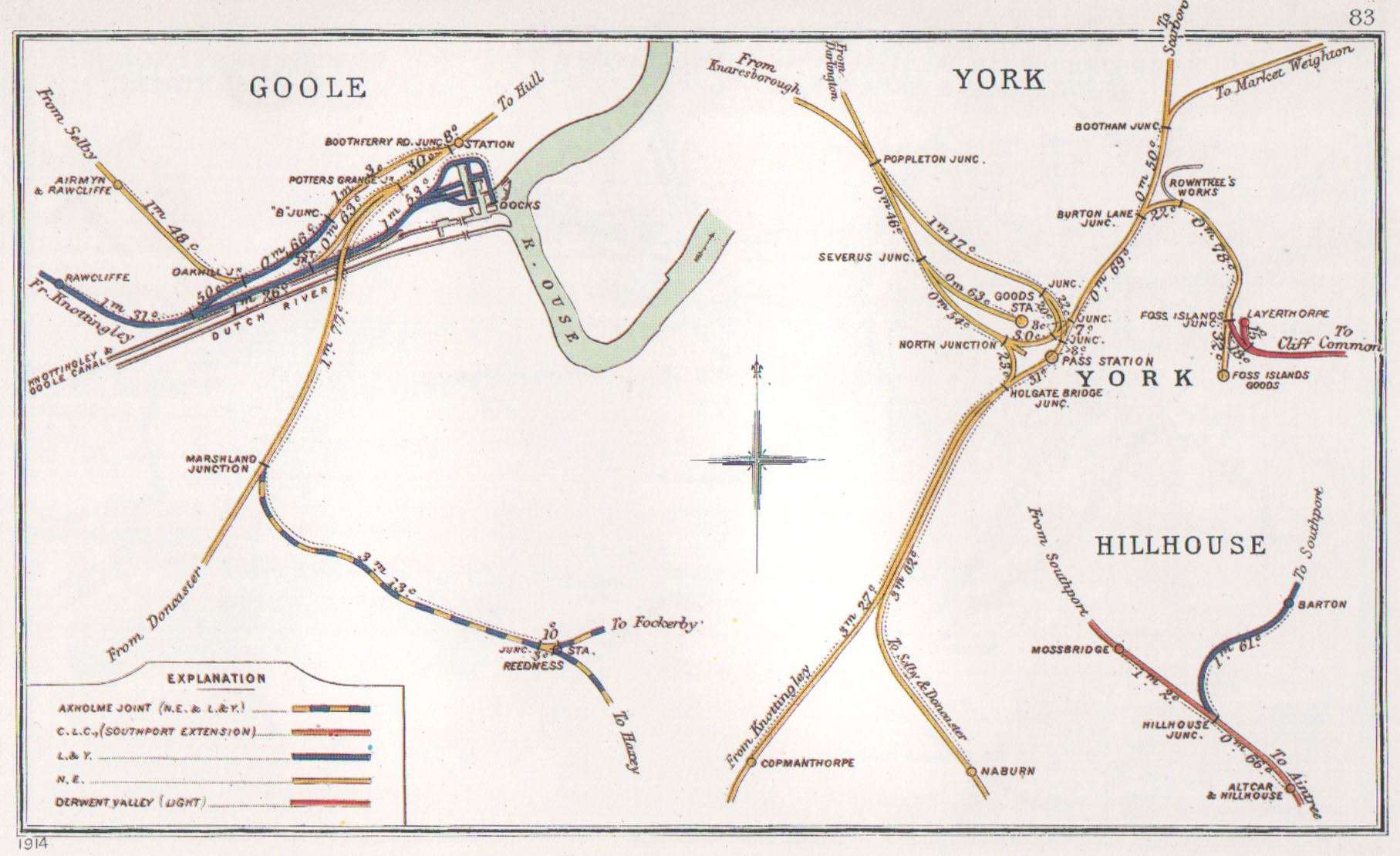
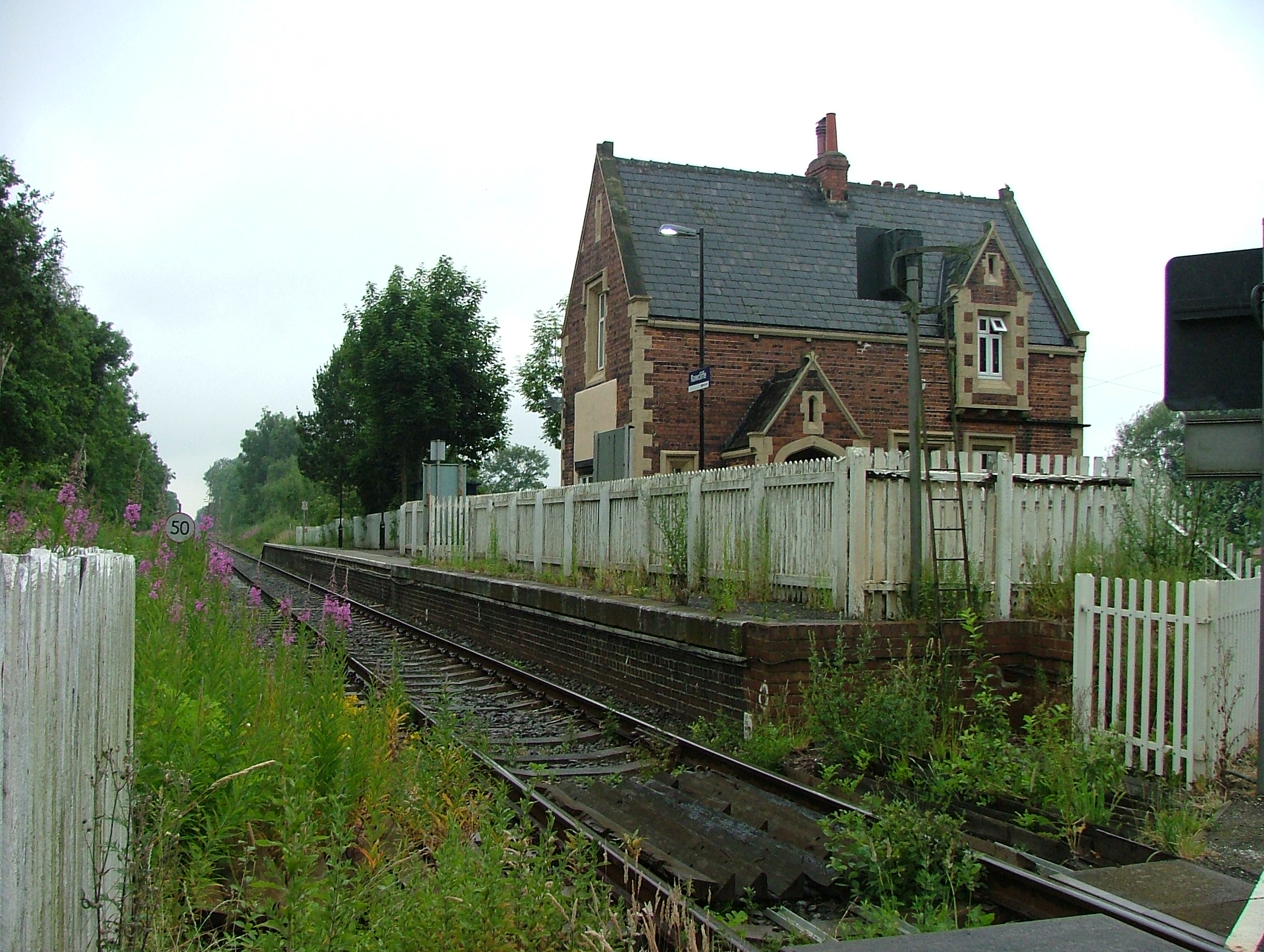
Airmyn railway station
Airmyn railway station was on the Selby to Goole Line. It served the village of Airmyn in the East Riding of Yorkshire, England. == History == The station...
Newland, North Yorkshire
Newland is a hamlet and civil parish in the Selby district of North Yorkshire, England. According to the 2011 UK census Newland parish had a population...
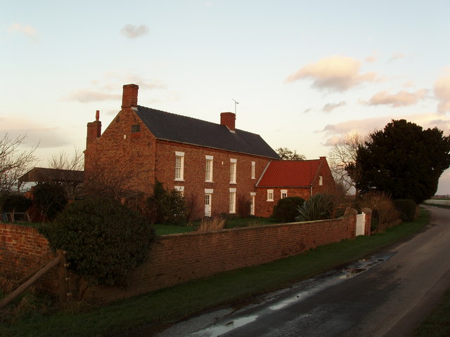
Rawcliffe, East Riding of Yorkshire
Rawcliffe (or Rawcliffe in Snaith) is a village and civil parish in the East Riding of Yorkshire, England on the border with North Yorkshire. It is situated...

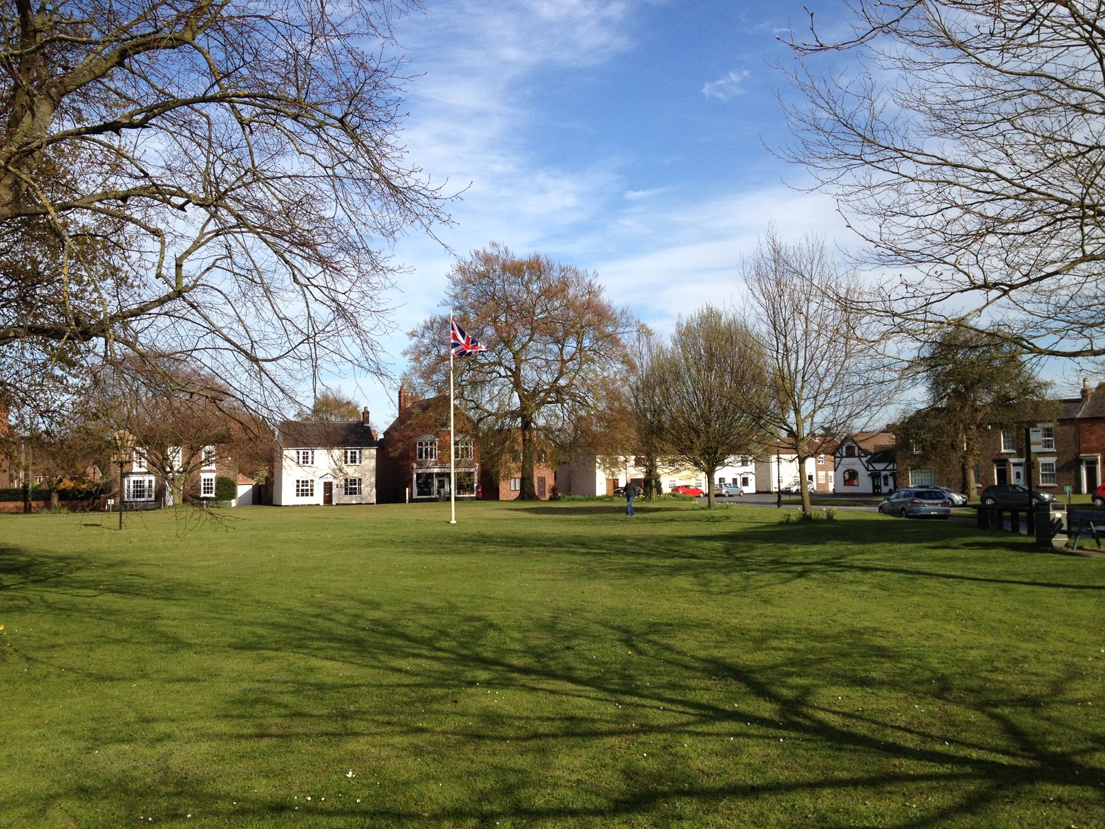
Airmyn
Airmyn is a village and civil parish in the East Riding of Yorkshire, England. It is situated at the mouth of the River Aire with the River Ouse, approximately...

West Park, Goole
West Park is an urban park in Goole, East Riding of Yorkshire, England. It was opened in 1923 and is the largest park in the town. == History == The park...
Siemens Goole
Siemens Goole is a train factory located in Goole, East Riding of Yorkshire, England. Siemens Mobility assessed several sites in the United Kingdom before...
Rawcliffe railway station
Rawcliffe railway station is a railway station that serves the village of Rawcliffe in the East Riding of Yorkshire, England. The station is located on...

River Aire
The River Aire is a major river in Yorkshire, England, 92 miles (148 km) in length. Part of the river below Leeds is canalised, and is known as the Aire...
Nearby Amenities
Located within 500m of 53.707241,-0.93111503Have you been to Airmyn Wood?
Leave your review of Airmyn Wood below (or comments, questions and feedback).