Ewan's Wood
Wood, Forest in Nottinghamshire Rushcliffe
England
Ewan's Wood
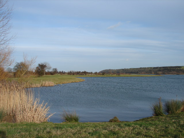
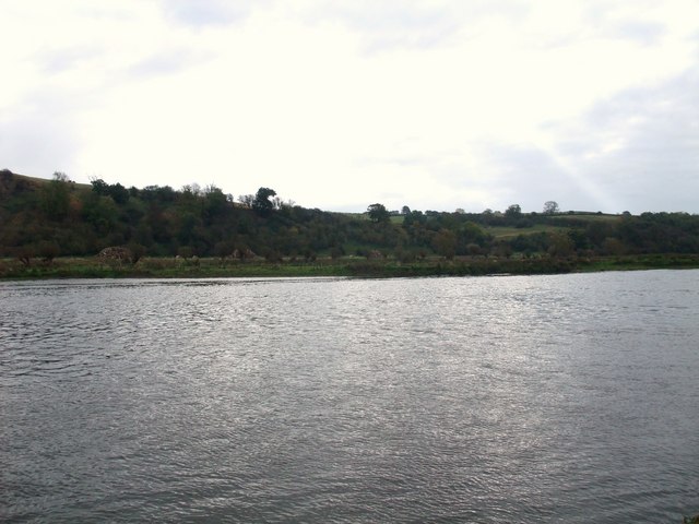
Ewan's Wood, located in Nottinghamshire, is a picturesque forest area renowned for its natural beauty and rich biodiversity. Spanning over a significant expanse of land, this woodland is a popular destination for nature enthusiasts, hikers, and wildlife observers alike.
The wood is characterized by its dense canopy of deciduous and evergreen trees, creating a serene and tranquil environment. Dominated by oak, ash, and beech trees, the wood offers a stunning display of colors throughout the year, with vibrant foliage in autumn and lush greenery in spring and summer.
The forest floor of Ewan's Wood is adorned with a diverse array of flora, including bluebells, primroses, and wild garlic. These wildflowers create a colorful tapestry that adds to the enchanting atmosphere of the wood. Moreover, the presence of a small stream meandering through the forest adds to its charm, providing a source of water for the various species of wildlife that call this woodland home.
The wood is a haven for numerous animal species, including deer, squirrels, rabbits, and a myriad of bird species. It offers an ideal habitat for these creatures, providing ample food and shelter.
Visitors to Ewan's Wood can explore the forest through a network of well-maintained trails, offering opportunities for leisurely walks, birdwatching, and photography. The wood is also a popular spot for picnicking and family outings, with designated areas equipped with benches and picnic tables.
Ewan's Wood, with its breathtaking natural vistas, diverse flora and fauna, and recreational opportunities, is a treasured gem in the Nottinghamshire countryside, attracting nature enthusiasts and visitors seeking solace in the beauty of the great outdoors.
If you have any feedback on the listing, please let us know in the comments section below.
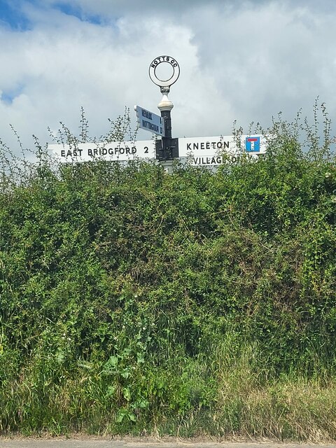
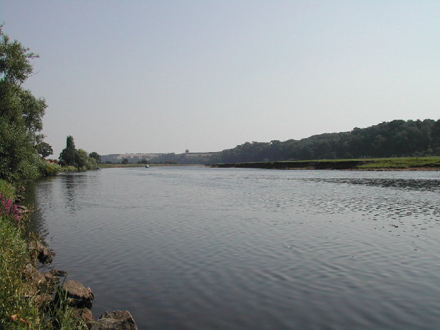
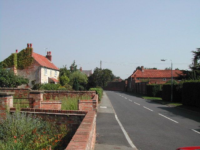
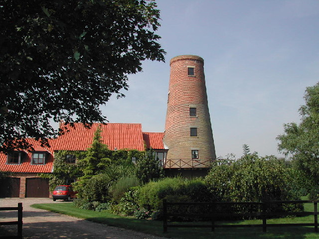
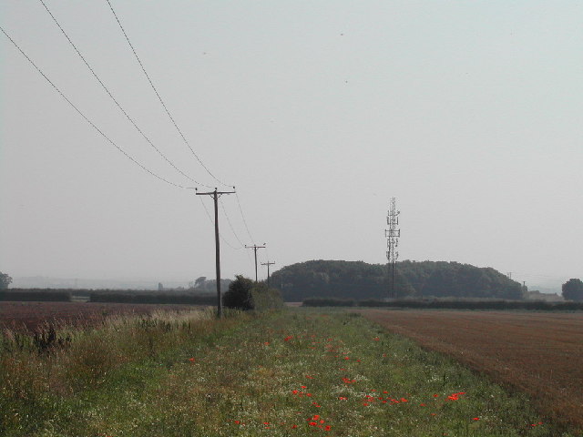
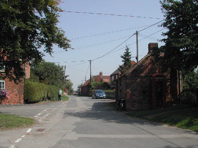
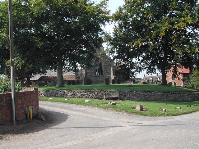
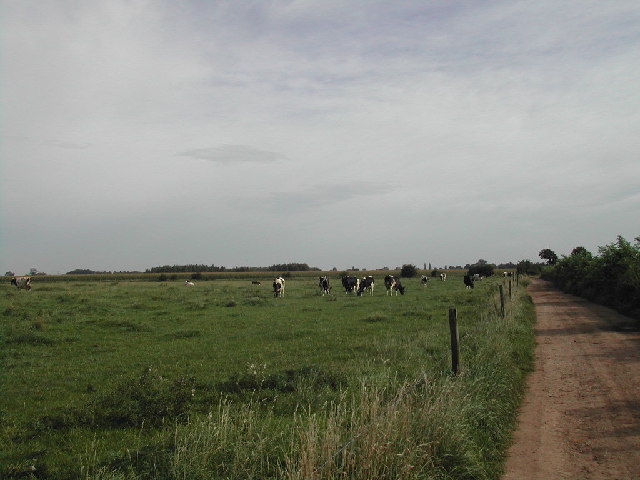
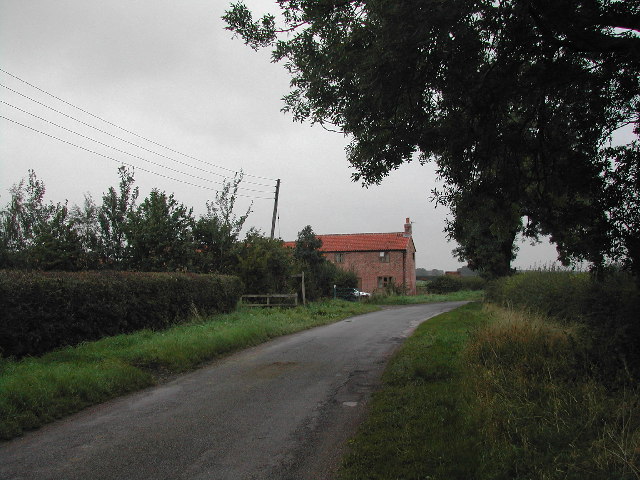
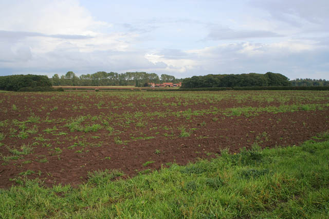
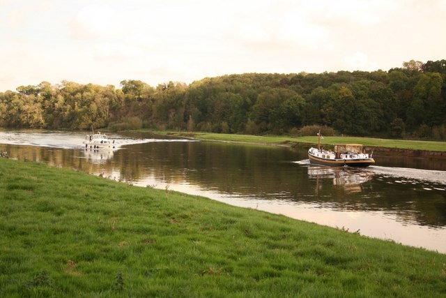
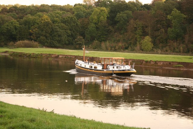
Ewan's Wood Images
Images are sourced within 2km of 53.008495/-0.94849915 or Grid Reference SK7046. Thanks to Geograph Open Source API. All images are credited.

Ewan's Wood is located at Grid Ref: SK7046 (Lat: 53.008495, Lng: -0.94849915)
Administrative County: Nottinghamshire
District: Rushcliffe
Police Authority: Nottinghamshire
What 3 Words
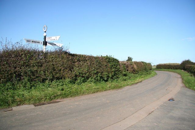
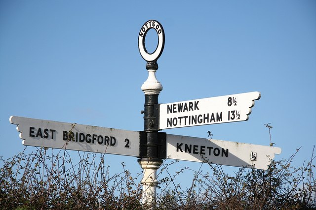
///players.eyebrows.clocking. Near East Bridgford, Nottinghamshire
Nearby Locations
Related Wikis

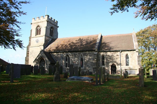
St Helen's Church, Kneeton
St Helen's Church, Kneeton is a Grade II listed parish church in the Church of England in Kneeton, Nottinghamshire, England. == History == The church was...

St Michael's Church, Hoveringham
St Michael's Church, Hoveringham is a Grade II listed parish church in the Church of England in Hoveringham, Nottinghamshire, England. == History == The...

Kneeton
Kneeton is a village in the county of Nottinghamshire, England. The population as of the 2011 census remained less than 100. It is included in the civil...
Hoveringham
Hoveringham is a small village and civil parish in Nottinghamshire about 10 miles (16 km) northeast of Nottingham and on the west side of the River Trent...
Nearby Amenities
Located within 500m of 53.008495,-0.94849915Have you been to Ewan's Wood?
Leave your review of Ewan's Wood below (or comments, questions and feedback).