Shipman's Wood
Wood, Forest in Nottinghamshire Rushcliffe
England
Shipman's Wood
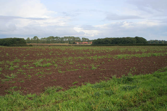
Shipman's Wood is a picturesque woodland located in Nottinghamshire, England. Spanning approximately 80 hectares, it is a popular destination for nature lovers, hikers, and wildlife enthusiasts. The wood is situated just a few miles north of Nottingham city center, making it easily accessible for both locals and tourists.
The woodland is primarily composed of native broadleaf trees, including oak, beech, and birch. These trees create a rich canopy that provides a habitat for a diverse range of flora and fauna. Walking through the wood, one can spot various wildflowers, such as bluebells and primroses, which bloom in different seasons, adding vibrant colors to the landscape.
Shipman's Wood is also home to a variety of wildlife. Squirrels can be seen scurrying amongst the branches, while birds, including woodpeckers and owls, can be heard chirping and hooting. If lucky, visitors may even spot a deer or fox roaming in the undergrowth.
The wood offers several walking trails, varying in length and difficulty, allowing visitors to explore the beauty of the woodland at their own pace. These trails are well-maintained and signposted, ensuring a safe and enjoyable experience for all.
Additionally, the wood provides an ideal setting for picnics and family outings, with plenty of open spaces and benches available. It is a tranquil escape from the hustle and bustle of city life, offering visitors a chance to reconnect with nature and enjoy the peaceful surroundings.
Overall, Shipman's Wood is a haven of natural beauty, offering a serene and immersive experience for anyone seeking solace in the heart of Nottinghamshire.
If you have any feedback on the listing, please let us know in the comments section below.
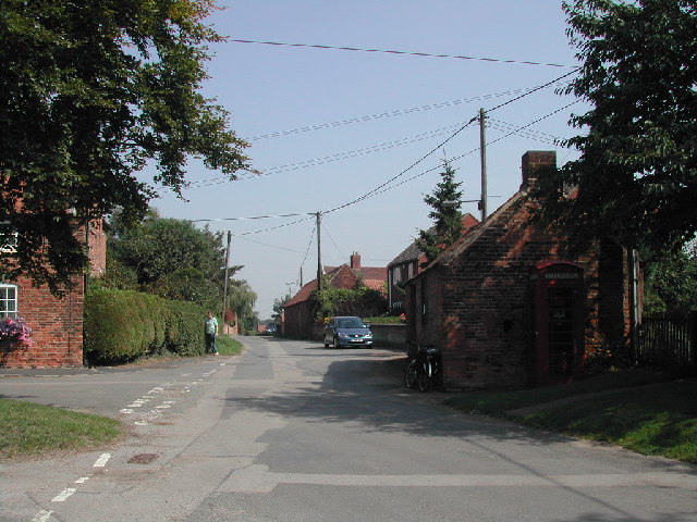
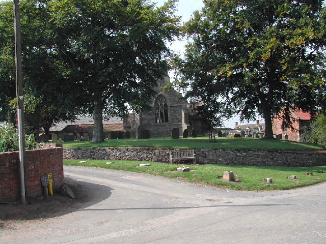
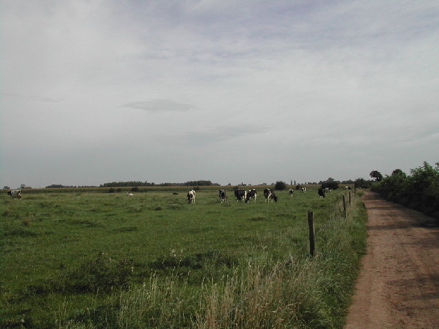
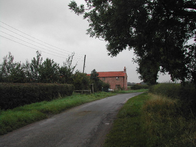
Shipman's Wood Images
Images are sourced within 2km of 53.010063/-0.94385554 or Grid Reference SK7046. Thanks to Geograph Open Source API. All images are credited.


Shipman's Wood is located at Grid Ref: SK7046 (Lat: 53.010063, Lng: -0.94385554)
Administrative County: Nottinghamshire
District: Rushcliffe
Police Authority: Nottinghamshire
What 3 Words
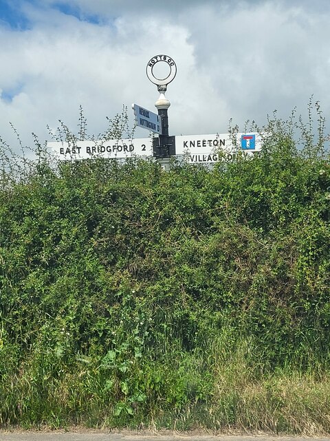
///toenail.outermost.zest. Near East Bridgford, Nottinghamshire
Nearby Locations
Related Wikis

St Helen's Church, Kneeton
St Helen's Church, Kneeton is a Grade II listed parish church in the Church of England in Kneeton, Nottinghamshire, England. == History == The church was...

St Michael's Church, Hoveringham
St Michael's Church, Hoveringham is a Grade II listed parish church in the Church of England in Hoveringham, Nottinghamshire, England. == History == The...

Kneeton
Kneeton is a village in the county of Nottinghamshire, England. The population as of the 2011 census remained less than 100. It is included in the civil...
Hoveringham
Hoveringham is a small village and civil parish in Nottinghamshire about 10 miles (16 km) northeast of Nottingham and on the west side of the River Trent...
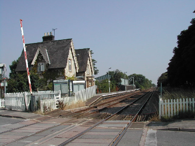
Thurgarton railway station
Thurgarton railway station is a Grade II listed station which serves the small village of Thurgarton in Nottinghamshire, England. == History == It is on...
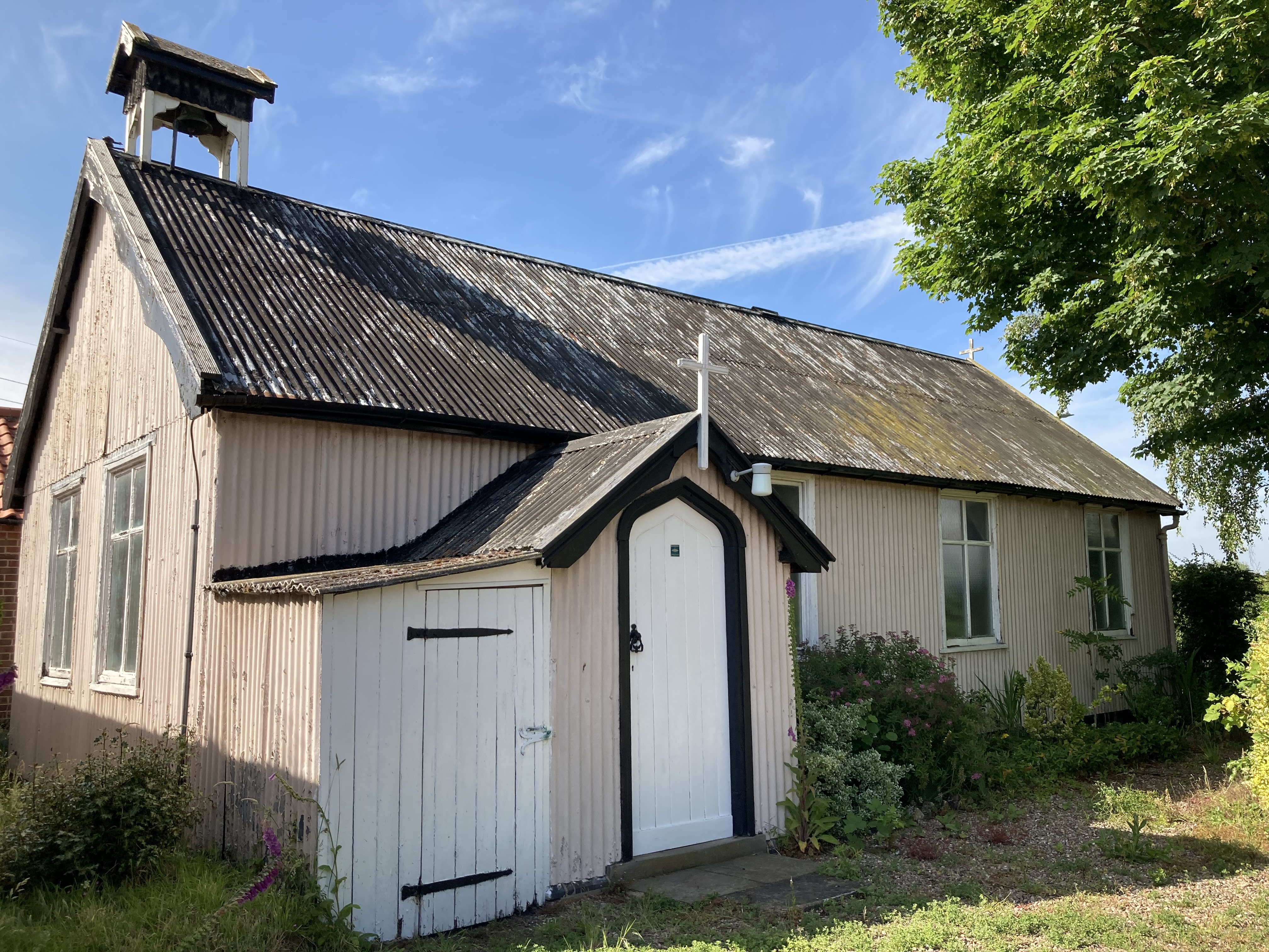
St Aidan's Church, Caythorpe
St Aidan's Church, Caythorpe is a Chapel of Ease in the Church of England in Caythorpe, Nottinghamshire. It is notable as being one of very few surviving...

1958 Syerston Avro Vulcan crash
The 1958 Syerston Avro Vulcan crash was an aviation accident that occurred in England on 20 September 1958 during an air show at RAF Syerston, Nottinghamshire...
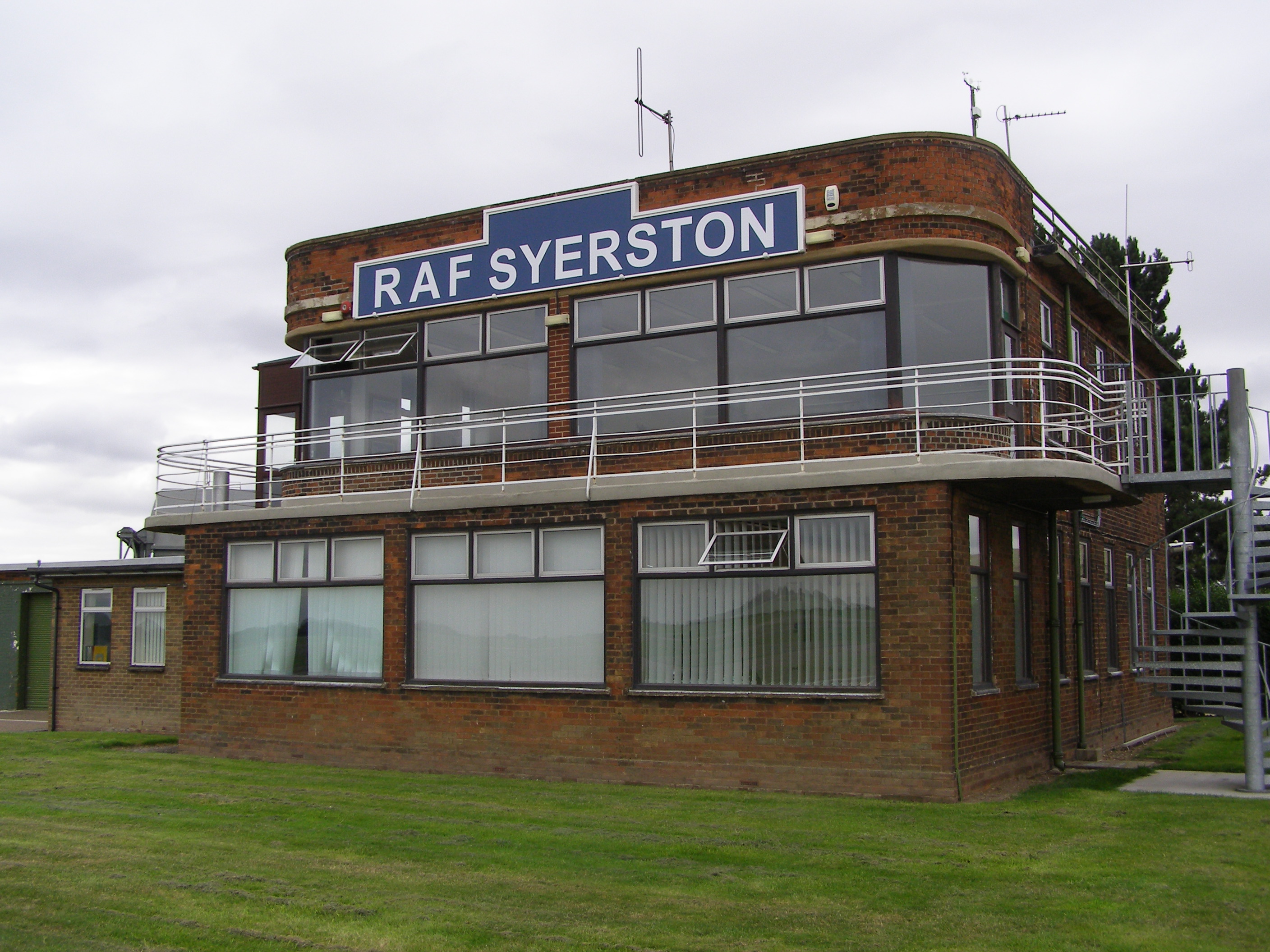
RAF Syerston
Royal Air Force Syerston, commonly known simply as RAF Syerston (ICAO: EGXY), is a Royal Air Force station in the parish of Flintham, near Newark, Nottinghamshire...
Nearby Amenities
Located within 500m of 53.010063,-0.94385554Have you been to Shipman's Wood?
Leave your review of Shipman's Wood below (or comments, questions and feedback).