Adwell
Civil Parish in Oxfordshire South Oxfordshire
England
Adwell
Adwell is a small civil parish located in the county of Oxfordshire, England. Situated approximately 10 miles southeast of the historic city of Oxford, it covers an area of around 1.5 square miles. The parish is part of the administrative district of South Oxfordshire.
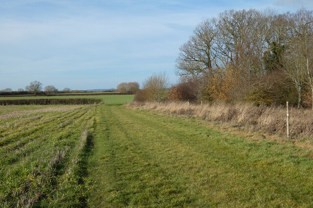
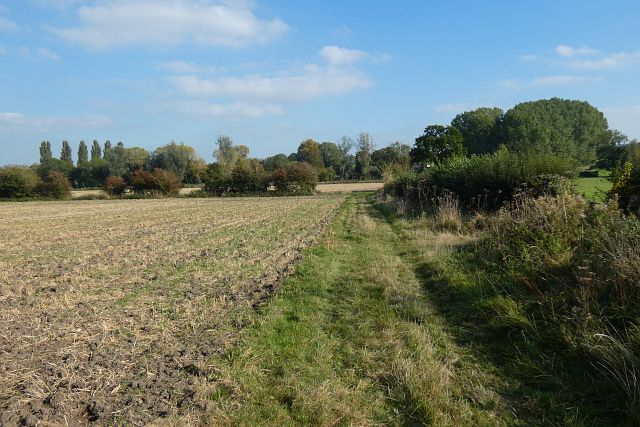
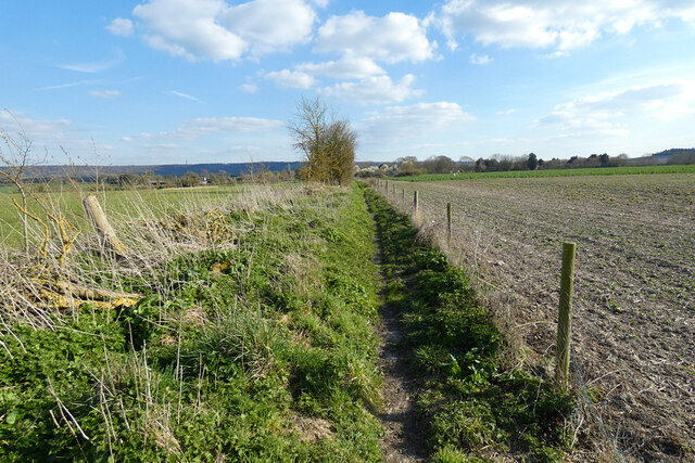
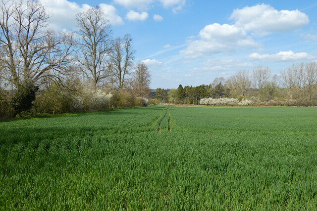
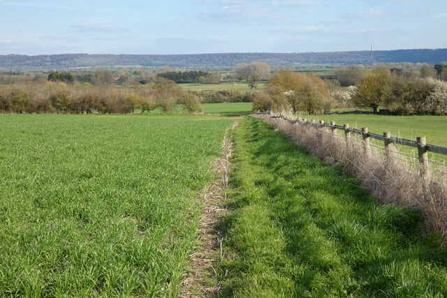
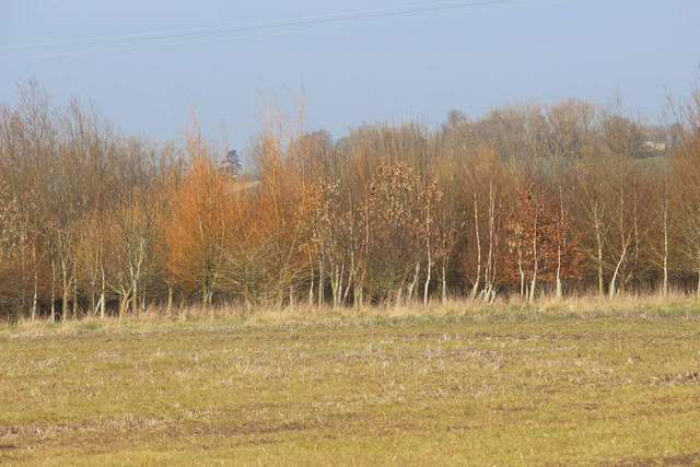
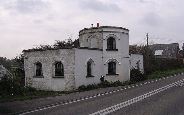
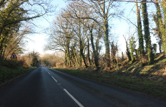
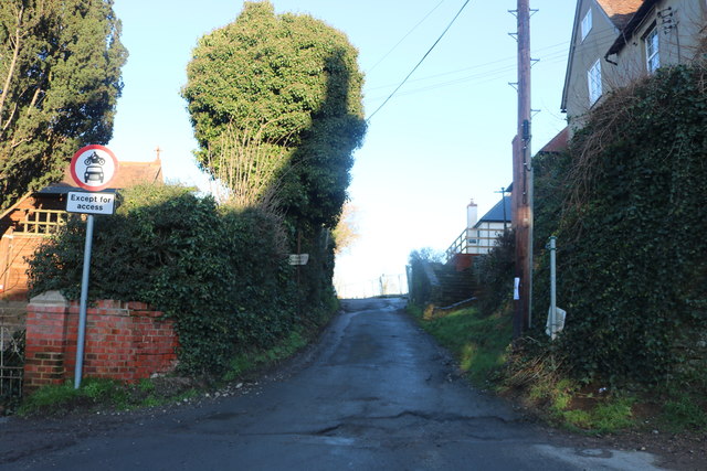
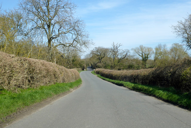
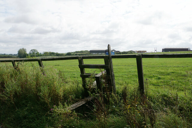
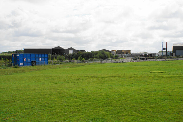
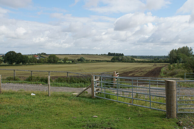
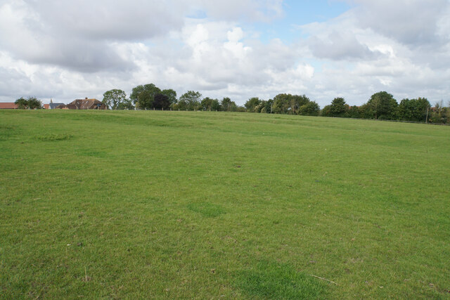
Adwell is a predominantly rural area, characterized by its picturesque countryside and rolling hills. The landscape is dotted with charming cottages, farmhouses, and agricultural fields, contributing to its idyllic charm. The River Thame runs through the parish, adding to its natural beauty.
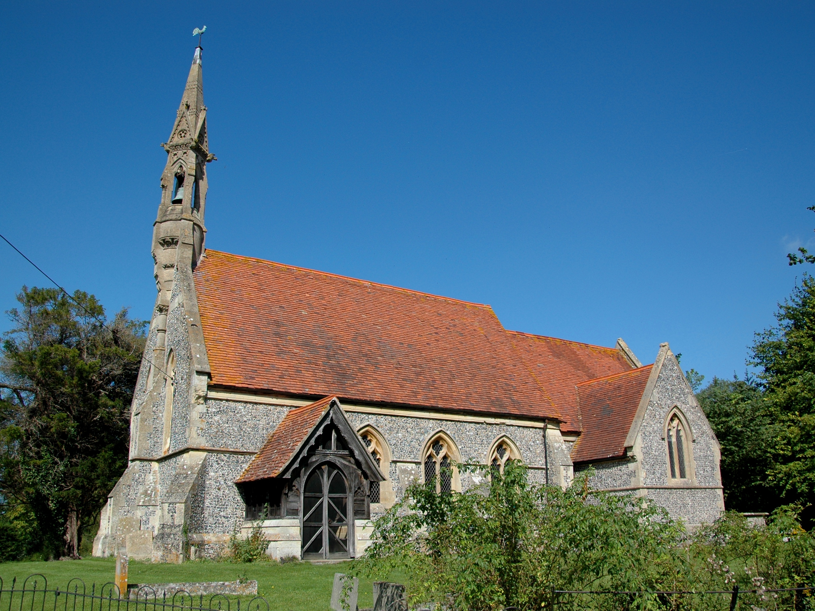
The population of Adwell is relatively small, with just over 100 residents. The community is tight-knit and enjoys a peaceful and tranquil way of life. The parish has a rich history dating back centuries, with evidence of human settlement in the area since the Roman times.
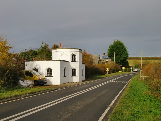
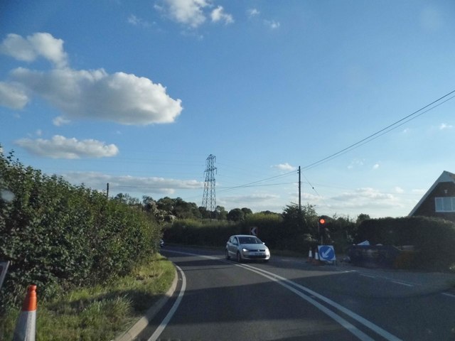
Despite its small size, Adwell is well-connected to nearby towns and cities. The A40 road runs to the north of the parish, providing convenient access to Oxford and the wider road network. The nearest railway station is located in the town of Thame, approximately 4 miles away.
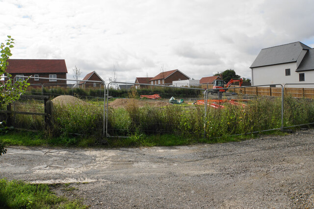
Adwell offers limited amenities, with no shops or pubs within the parish boundaries. However, residents can access a range of services and facilities in nearby towns such as Thame or Oxford. The parish is known for its beautiful countryside and is popular with walkers and nature enthusiasts, offering a range of scenic walking routes and outdoor activities.
If you have any feedback on the listing, please let us know in the comments section below.
Adwell Images
Images are sourced within 2km of 51.694724/-0.991668 or Grid Reference SP6900. Thanks to Geograph Open Source API. All images are credited.
Adwell is located at Grid Ref: SP6900 (Lat: 51.694724, Lng: -0.991668)
Administrative County: Oxfordshire
District: South Oxfordshire
Police Authority: Thames Valley
What 3 Words
///shark.knees.cotton. Near Chinnor, Oxfordshire
Nearby Locations
Related Wikis

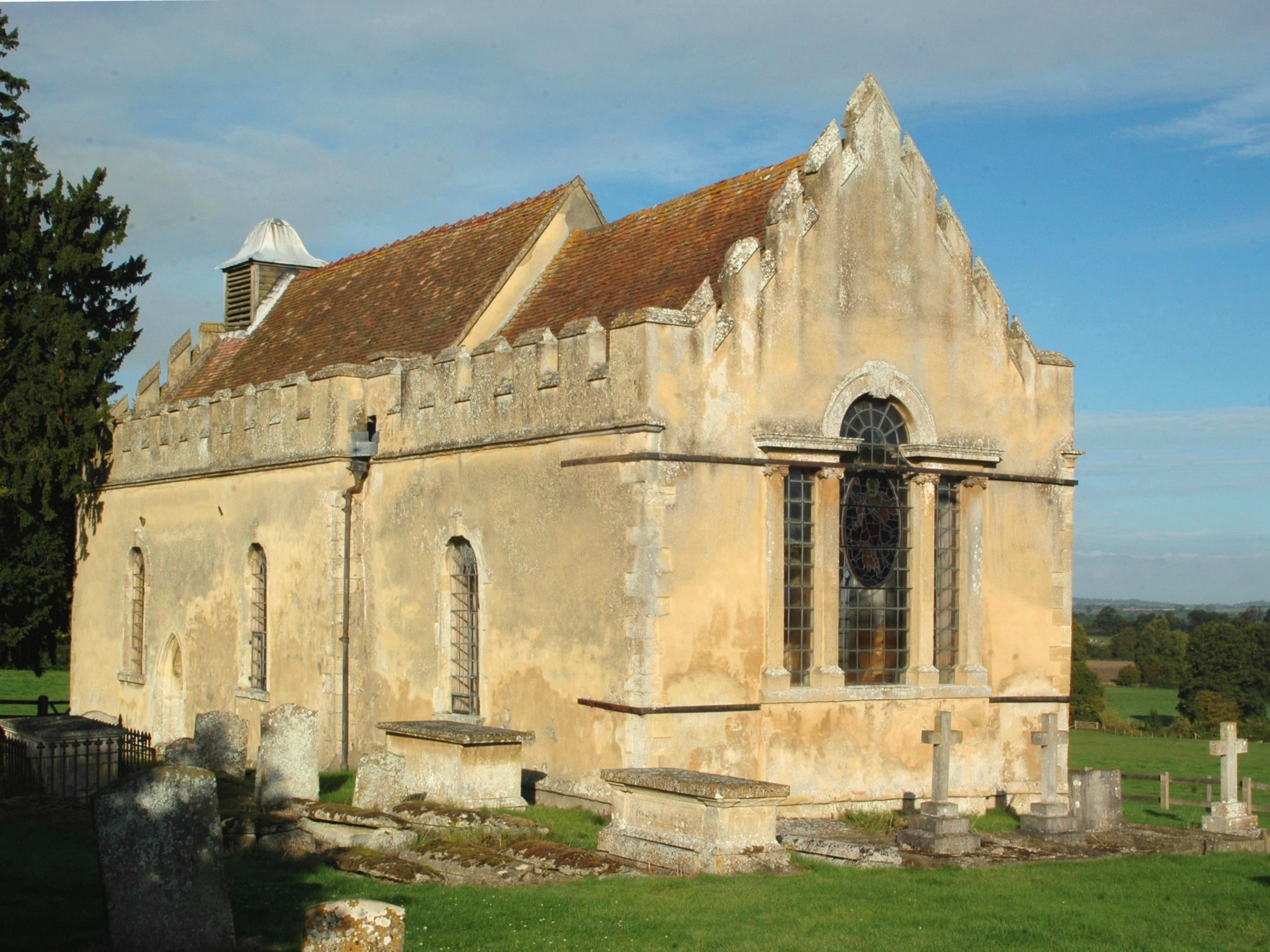
Adwell House
Adwell House, Adwell, Oxfordshire, is a Grade II* listed building and the family seat of the Birch Reynardson family. == References == == External links... ==
Adwell
Adwell is a village and civil parish about 3 miles (5 km) south of Thame in South Oxfordshire. The parish covers 443 acres (179 ha), == Demography == The...
Wheatfield, Oxfordshire
Wheatfield is a civil parish and deserted medieval village about 4 miles (6.4 km) south of Thame in Oxfordshire. Wheatfield's toponym is derived from...

Postcombe
Postcombe is a village in the civil parish of Lewknor. It is approximately 4 miles (6.4 km) south of Thame in Oxfordshire, England, and about 2 miles...
Nearby Amenities
Located within 500m of 51.694724,-0.991668Have you been to Adwell?
Leave your review of Adwell below (or comments, questions and feedback).