Adwick upon Dearne
Civil Parish in Yorkshire Doncaster
England
Adwick upon Dearne
Adwick upon Dearne is a civil parish located in the metropolitan borough of Doncaster, South Yorkshire, England. It lies approximately 12 miles north of Sheffield and 6 miles south of Doncaster. The parish encompasses the village of Adwick upon Dearne and its surrounding areas.
Historically, Adwick upon Dearne was a small mining village, with coal mining being the primary industry for many years. However, with the decline of the coal mining industry in the late 20th century, the village has diversified its economic activities and now houses a mix of residential areas and commercial establishments.
The village boasts a range of amenities and facilities to cater to its population. These include a library, a community center, a primary school, and several local shops and businesses. Adwick upon Dearne also has a railway station, providing convenient transportation links to nearby towns and cities.
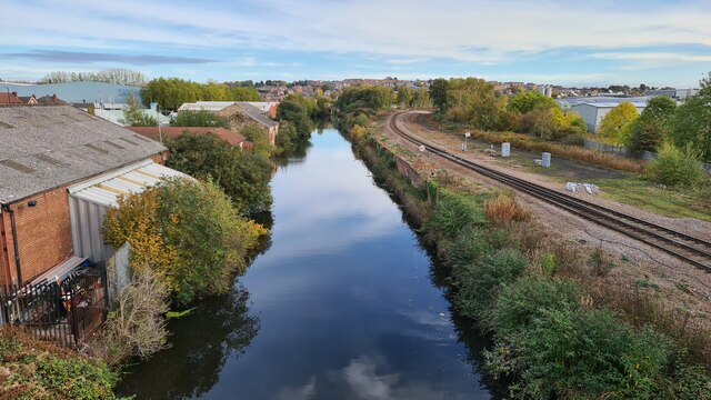
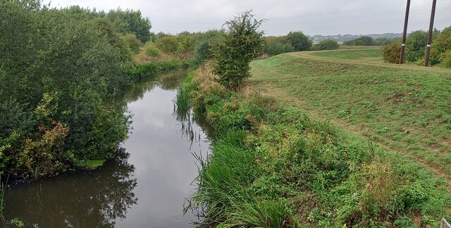
The natural landscape surrounding Adwick upon Dearne is characterized by open fields, woodlands, and the nearby River Dearne. The village is situated close to the beautiful countryside of the Dearne Valley, offering opportunities for outdoor activities such as walking and cycling.
Adwick upon Dearne is also known for its strong sense of community, with various community groups and organizations actively involved in organizing events and initiatives to bring residents together.
Overall, Adwick upon Dearne is a vibrant civil parish that combines its historical mining heritage with modern amenities, making it an attractive place to live and visit in Yorkshire.
If you have any feedback on the listing, please let us know in the comments section below.
Adwick upon Dearne Images
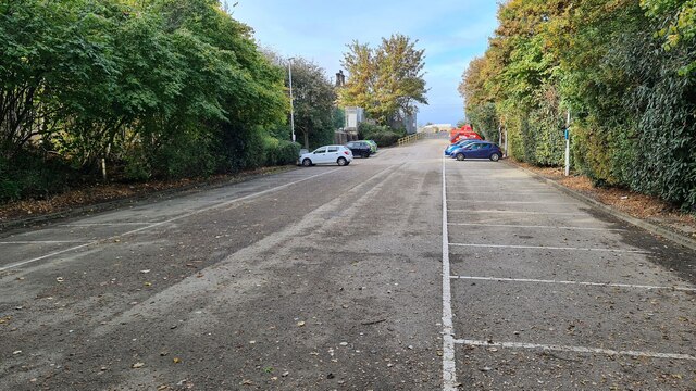
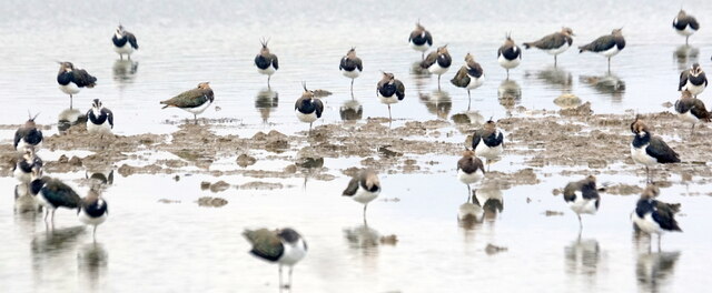
Images are sourced within 2km of 53.508133/-1.29496 or Grid Reference SE4601. Thanks to Geograph Open Source API. All images are credited.


Adwick upon Dearne is located at Grid Ref: SE4601 (Lat: 53.508133, Lng: -1.29496)
Division: West Riding
Administrative County: South Yorkshire
District: Doncaster
Police Authority: South Yorkshire
What 3 Words
///majoring.universe.gear. Near Mexborough, South Yorkshire
Nearby Locations
Related Wikis

Laurel Academy
The Laurel Academy (formerly Mexborough Academy) is a coeducational secondary school located in Mexborough, South Yorkshire, England. == History == The...

Adwick upon Dearne
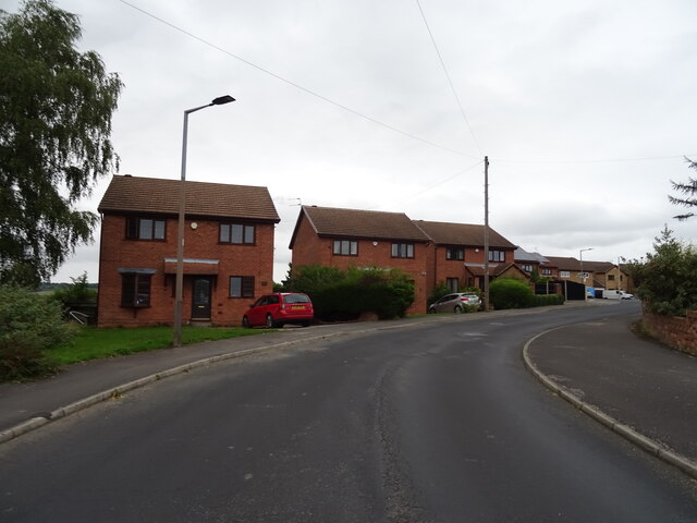
Adwick upon Dearne is a small village and civil parish on the A6023 road near Mexborough. The Adwick upon Dearne civil parish covers Adwick itself and...
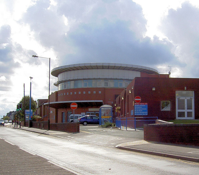
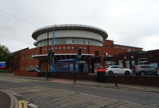
Montagu Hospital
Montagu Hospital is in Mexborough, a district of Doncaster, in South Yorkshire, England. It is managed by the Doncaster and Bassetlaw Teaching Hospitals...

Mexborough
Mexborough is a town in the City of Doncaster in South Yorkshire, England. Situated between Manvers and Denaby Main, it lies on the River Don close to...
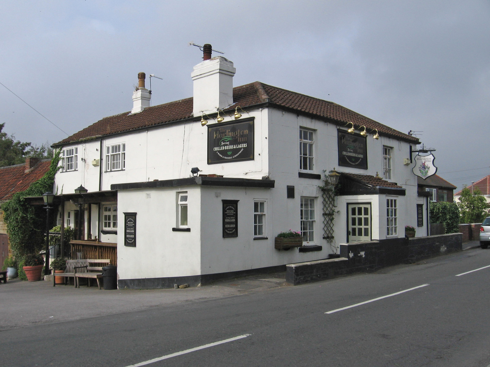
Harlington, South Yorkshire
Harlington is a village in the civil parish of Barnburgh in the City of Doncaster in South Yorkshire, England. The village lies less than a mile from the...

Bolton-upon-Dearne railway station
Bolton-upon-Dearne railway station serves the village of Bolton upon Dearne in South Yorkshire, England. It lies on the Wakefield Line 13 miles (21 km...
Mexborough (ward)
Mexborough is one of 21 electoral wards in the Metropolitan Borough of Doncaster, South Yorkshire, England, covering the town of Mexborough. It forms part...
Dearne Valley College
Dearne Valley College is a further education college situated in the Manvers Park area of Wath-upon-Dearne, in the Metropolitan Borough of Rotherham, South...
Nearby Amenities
Located within 500m of 53.508133,-1.29496Have you been to Adwick upon Dearne?
Leave your review of Adwick upon Dearne below (or comments, questions and feedback).