Square Covert

Wood, Forest in Oxfordshire South Oxfordshire

England

Square Covert

Farmland, Wheatfield Arable fields and a copse beside the footpath passing Lower Farm.
Farmland, Wheatfield Credit: Andrew Smith

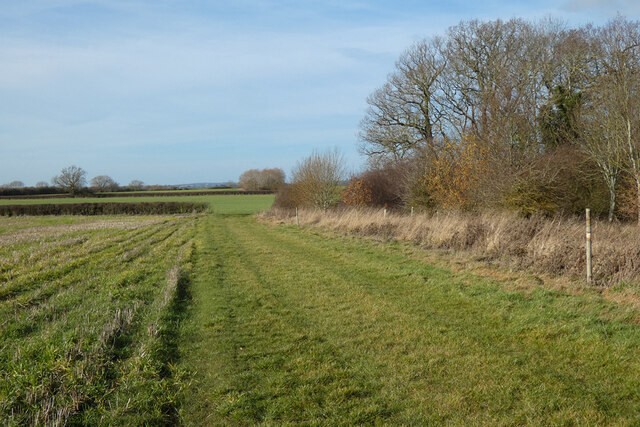
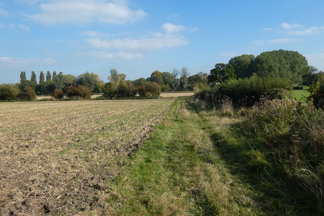
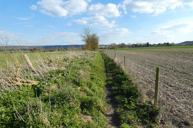
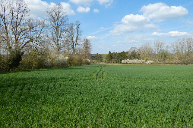
Square Covert is a picturesque woodland located in Oxfordshire, England. Situated in the heart of the county, this tranquil forest covers an area of approximately 50 acres. It is a popular destination for nature enthusiasts, hikers, and birdwatchers.

The woodland is predominantly composed of a variety of deciduous trees, including oak, beech, and birch. These trees create a rich canopy, providing shade and shelter for a diverse range of flora and fauna. In spring, the forest floor is carpeted with bluebells, creating a stunning display of color.

Square Covert is home to an abundance of wildlife. Bird species such as woodpeckers, thrushes, and owls can be spotted among the treetops. Squirrels dart through the branches, while rabbits and deer can be occasionally seen grazing in the open meadows within the forest.

Several well-marked trails wind their way through Square Covert, offering visitors the opportunity to explore the woodland at their own pace. These paths lead to hidden clearings, babbling brooks, and small ponds, adding to the enchanting atmosphere of the forest.

The forest is managed by the local authorities, who ensure its conservation and protection. It is a designated Site of Special Scientific Interest (SSSI) due to its biodiversity and importance as a habitat for various rare species.

Square Covert is a true haven for those seeking solace in nature. Its peaceful ambiance, stunning scenery, and diverse wildlife make it a must-visit destination for anyone looking to escape the hustle and bustle of everyday life.

If you have any feedback on the listing, please let us know in the comments section below.

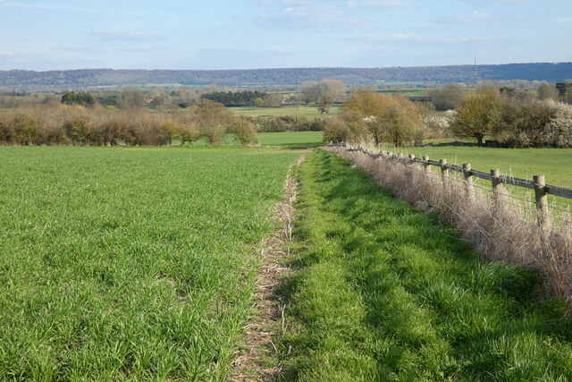
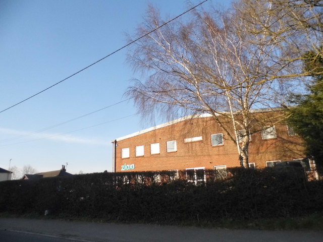
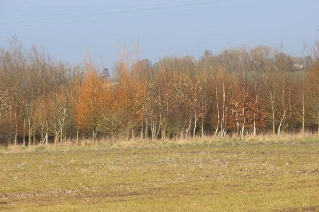
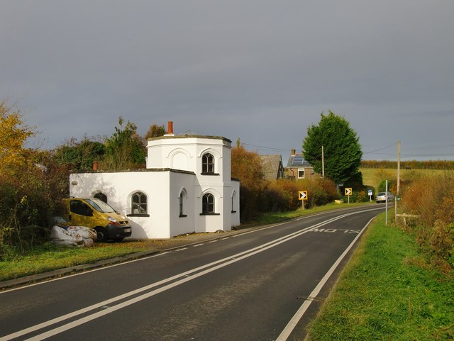
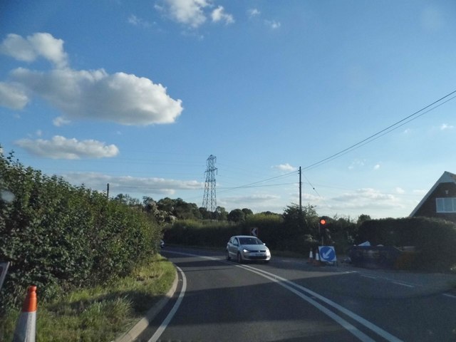
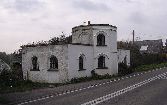
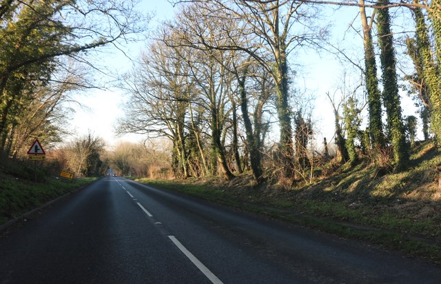
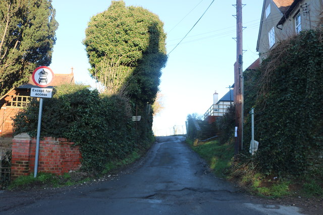
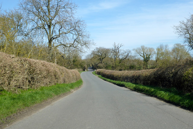
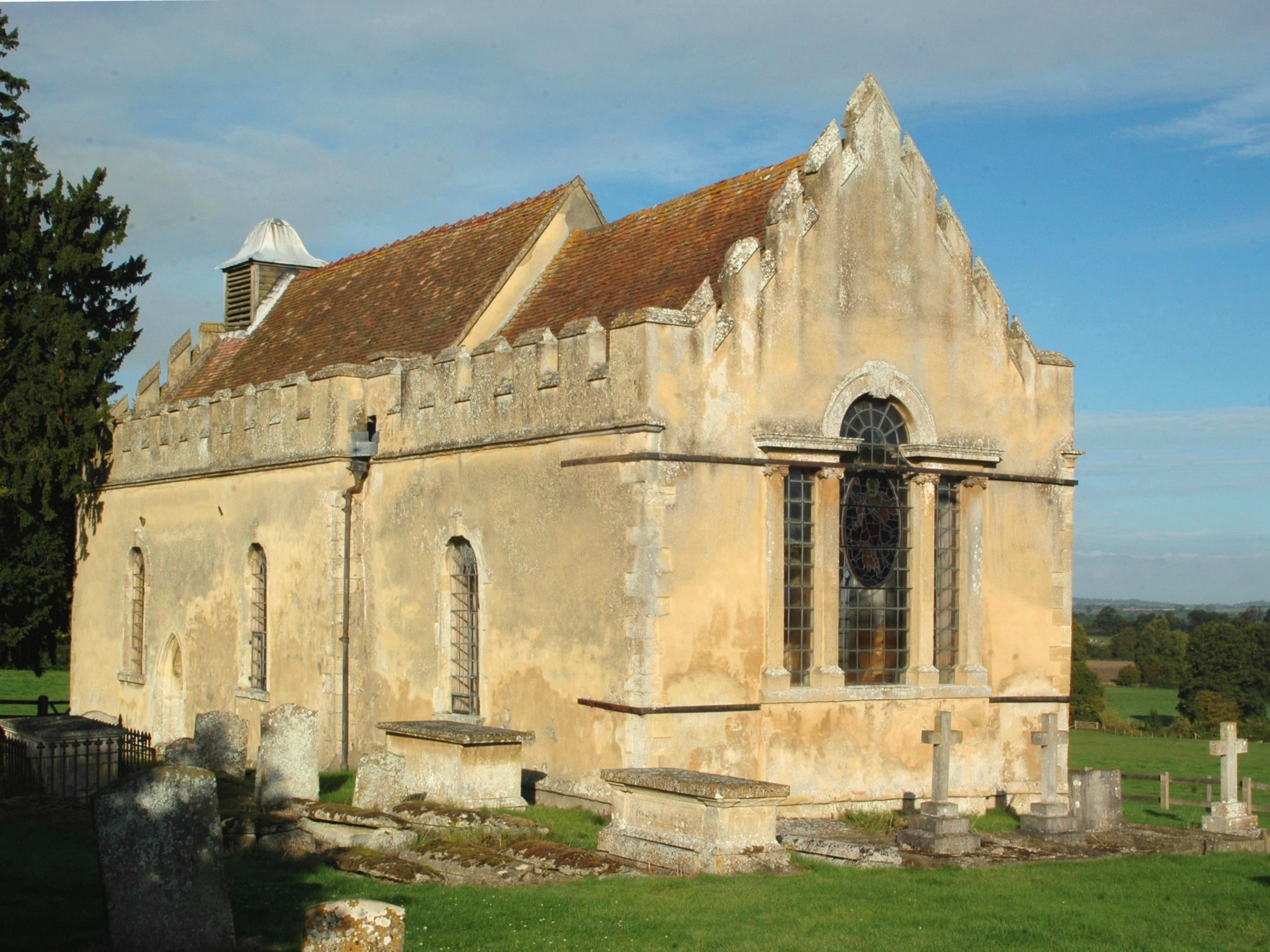
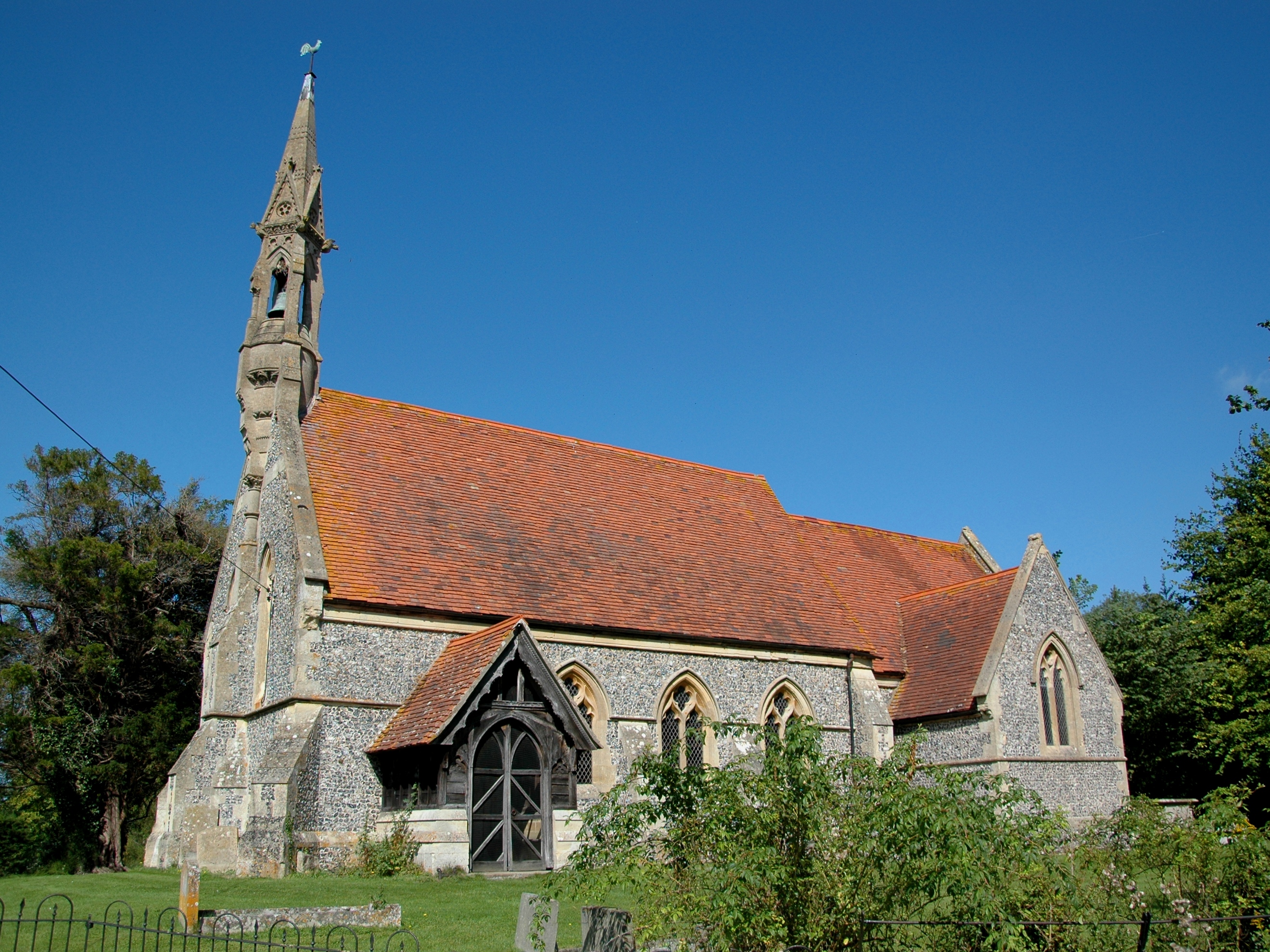
Square Covert Images

Images are sourced within 2km of 51.696812/-0.99472294 or Grid Reference SP6900. Thanks to Geograph Open Source API. All images are credited.

Farmland, Wheatfield Arable fields and a copse beside the footpath passing Lower Farm.
Farmland, Wheatfield
Arable fields and a copse beside the footpath passing Lower Farm.
Farmland, Aston Rowant The bridleway from Copcourt approaches Chalford in mixed farmland.
Farmland, Aston Rowant
The bridleway from Copcourt approaches Chalford in mixed farmland.
Farmland, Lewknor A footpath approaching Postcombe from Copcourt.  The land to the right contains a young crop of beans with more advance oil-seed rape seen ahead.
Farmland, Lewknor
A footpath approaching Postcombe from Copcourt. The land to the right contains a young crop of beans with more advance oil-seed rape seen ahead.
Farmland, Wheatfield Cereal on land dropping gently from the road between Adwell and Wheatfield.
Farmland, Wheatfield
Cereal on land dropping gently from the road between Adwell and Wheatfield.
Farmland, Tetsworth A footpath descending towards Copcourt from the B4012.
Farmland, Tetsworth
A footpath descending towards Copcourt from the B4012.
Zioxi on High Street, Tetsworth Zioxi/Isis make furniture for schools <span class="nowrap"><a title="https://zioxi.co.uk/" rel="nofollow ugc noopener" href="https://zioxi.co.uk/">Link</a><img style="margin-left:2px;" alt="External link" title="External link - shift click to open in new window" src="https://s1.geograph.org.uk/img/external.png" width="10" height="10"/></span>
Zioxi on High Street, Tetsworth
Zioxi/Isis make furniture for schools LinkExternal link
The Antique Centre on High Street, Tetsworth
Winter Tree Colours A small wood near Stoke Grange.
Winter Tree Colours
A small wood near Stoke Grange.
Attington Toll House Perhaps past owners of the Attington estate excised tolls as a revenue-raising measure; perhaps they simply wished to discourage passage across the estate.  The style of the building, with its Gothick windows, suggests a date of circa 1800.
Attington Toll House
Perhaps past owners of the Attington estate excised tolls as a revenue-raising measure; perhaps they simply wished to discourage passage across the estate. The style of the building, with its Gothick windows, suggests a date of circa 1800.
The Swan, Tetsworth Housed in a historic Grade II listed Elizabethan coaching inn, The Swan is an antiques centre whichrepresents more than 80 dealers.
The Swan, Tetsworth
Housed in a historic Grade II listed Elizabethan coaching inn, The Swan is an antiques centre whichrepresents more than 80 dealers.
The A40 going through Tetsworth The Red Lion public house on the left and the village cricket green on the right.
The A40 going through Tetsworth
The Red Lion public house on the left and the village cricket green on the right.
Temporary lights on Thame Park Road, Tetsworth
Old Toll House, Tetsworth Toll House in the parish of Tetsworth, Attington Toll House, Thame Road (B4012), OX9 7DA.

Grade II listed.
List Entry Number: 1059661 <span class="nowrap"><a title="https://historicengland.org.uk/listing/the-list/list-entry/1059661" rel="nofollow ugc noopener" href="https://historicengland.org.uk/listing/the-list/list-entry/1059661">Link</a><img style="margin-left:2px;" alt="External link" title="External link - shift click to open in new window" src="https://s1.geograph.org.uk/img/external.png" width="10" height="10"/></span>

Surveyed

Milestone Society National ID: OX.TET
Old Toll House, Tetsworth
Toll House in the parish of Tetsworth, Attington Toll House, Thame Road (B4012), OX9 7DA. Grade II listed. List Entry Number: 1059661 LinkExternal link Surveyed Milestone Society National ID: OX.TET
Football pitch on the A40, Tetsworth
London Road before Tetsworth
The Mount, Tetsworth
Road towards Tetsworth From Stoke Talmage.
Road towards Tetsworth
From Stoke Talmage.
Footpath leaving Judd's Lane A diverted path next to new woodland created as a screen to housing development in Tetsworth.
Footpath leaving Judd's Lane
A diverted path next to new woodland created as a screen to housing development in Tetsworth.
Show me another place!

Square Covert is located at Grid Ref: SP6900 (Lat: 51.696812, Lng: -0.99472294)

Administrative County: Oxfordshire

District: South Oxfordshire

Police Authority: Thames Valley

What 3 Words

///announced.upwardly.eruptions. Near Chinnor, Oxfordshire

Nearby Locations

Adwell Square Covert

Related Wikis

Wheatfield, Oxfordshire

Wheatfield is a civil parish and deserted medieval village about 4 miles (6.4 km) south of Thame in Oxfordshire. Wheatfield's toponym is derived from...

Adwell House

Adwell House, Adwell, Oxfordshire, is a Grade II* listed building and the family seat of the Birch Reynardson family. == References == == External links... ==

Adwell

Adwell is a village and civil parish about 3 miles (5 km) south of Thame in South Oxfordshire. The parish covers 443 acres (179 ha), == Demography == The...

Postcombe

Postcombe is a village in the civil parish of Lewknor. It is approximately 4 miles (6.4 km) south of Thame in Oxfordshire, England, and about 2 miles...

Nearby Amenities

Located within 500m of 51.696812,-0.99472294
Barrier: stile
Lat/Long: 51.693154/-0.998111
Man Made: tower
Tower Type: communication
Lat/Long: 51.6966639/-0.9875728
The data included in this document is from www.openstreetmap.org. The data is made available under ODbL.

Have you been to Square Covert?

Leave your review of Square Covert below (or comments, questions and feedback).