Advent
Civil Parish in Cornwall
England
Advent
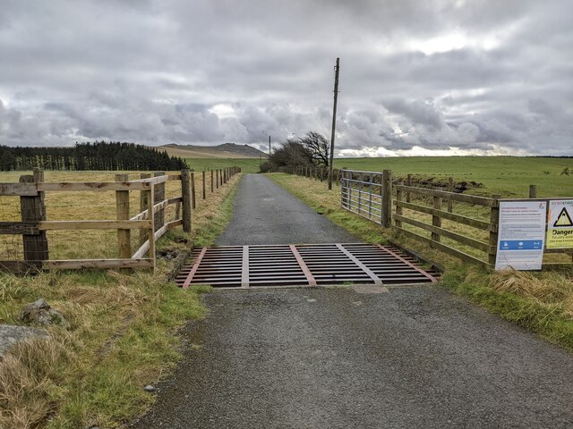
Advent is a civil parish located in the county of Cornwall, England. Situated in the northern part of the county, it lies within the picturesque region of Bodmin Moor. Covering an area of approximately 12 square miles, Advent is a rural parish that is sparsely populated with a small number of residents.
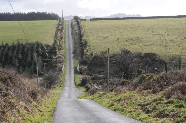
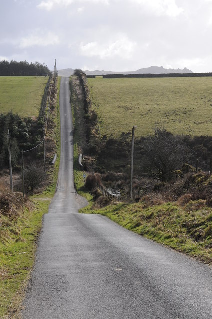
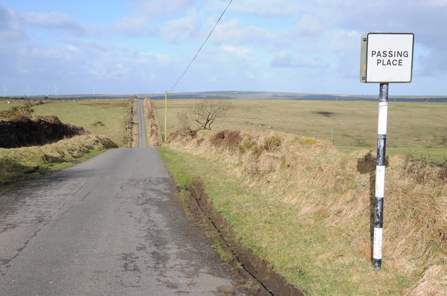
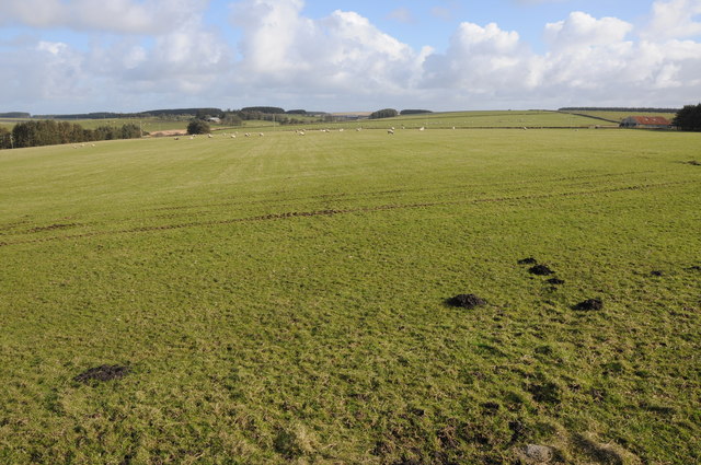
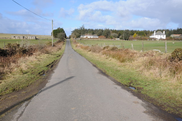
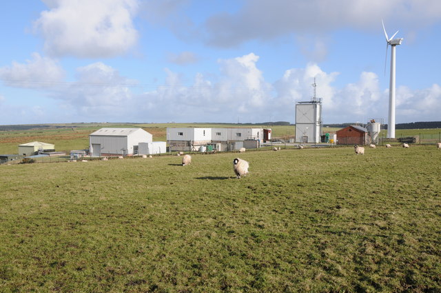
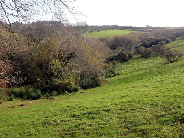
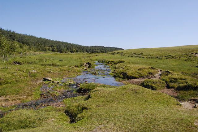
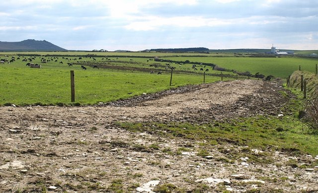
The parish is characterized by its beautiful natural landscapes, with rolling hills, open moorland, and scattered farms dotting the area. The terrain is predominantly agricultural, with farming being the primary industry in the region. The land is used for grazing livestock and cultivating crops, such as wheat and barley.
Advent is also known for its rich history and archaeological significance. Numerous ancient monuments and sites can be found within the parish, including stone circles, standing stones, and burial mounds. These remnants from the past provide insights into the lives of the early settlers and indigenous people who once inhabited the area.
While Advent may be a small and quiet parish, it offers visitors and residents a peaceful and idyllic environment. The stunning natural beauty, combined with the historical landmarks, make it an attractive destination for those seeking tranquility and an appreciation for the past. Whether it's exploring the moors, visiting ancient sites, or simply enjoying the peaceful countryside, Advent offers a unique and charming experience for all who venture to this rural parish in Cornwall.
If you have any feedback on the listing, please let us know in the comments section below.
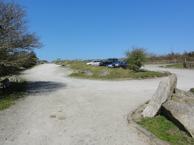
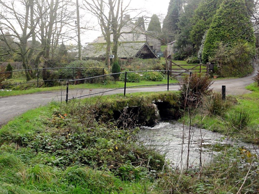
Advent Images
Images are sourced within 2km of 50.611066/-4.654092 or Grid Reference SX1282. Thanks to Geograph Open Source API. All images are credited.


Advent is located at Grid Ref: SX1282 (Lat: 50.611066, Lng: -4.654092)
Unitary Authority: Cornwall
Police Authority: Devon & Cornwall
What 3 Words
///hiding.scores.remaking. Near Camelford, Cornwall
Nearby Locations
Related Wikis
Watergate, Cornwall
Watergate is a hamlet in the civil parish of Advent in Cornwall, England, United Kingdom. There is also a hamlet called Watergate in the civil parish of...
Lowermoor Water Treatment Works
The Lowermoor Water Treatment Works supplies drinking water to the north Cornwall water distribution network. Raw water is obtained from the Crowdy Reservoir...

Highertown
Highertown is a hamlet in Cornwall, England. It is on the western edge of Bodmin Moor in the parish of Advent. == References ==

Tregoodwell
Tregoodwell is a hamlet half a mile east of Camelford in Cornwall, England, UK. It is on the road towards Rough Tor. == References ==

Advent, Cornwall
Advent (Cornish: Sen Adhwynn; Welsh: Santes Dwynwen) is a civil parish on the north-western edge of Bodmin Moor in north Cornwall, England, United Kingdom...
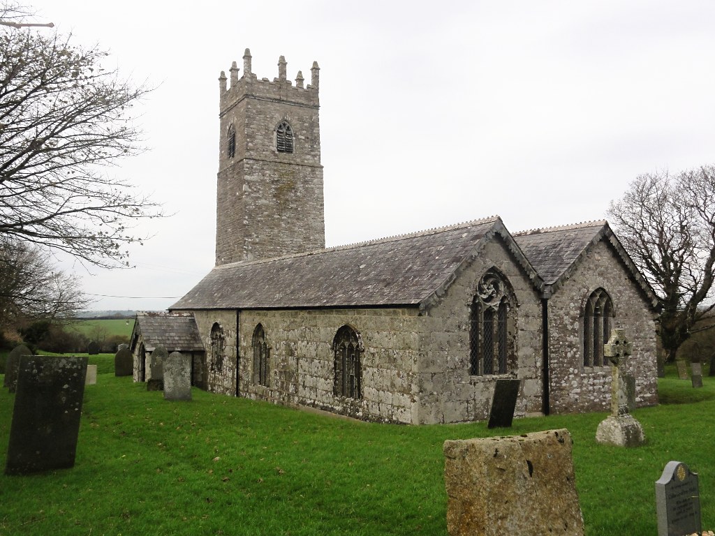
St Adwen's Church, Advent
St Adwen's Church, Advent is a Grade I listed parish church in the Church of England in Advent, Cornwall. It is the only church in Cornwall to have eight...
Camelford Rural District
Camelford Rural District was a local government division of north Cornwall between 1894 and 1974. The district council offices were at Camelford, Cornwall...
Camelford water pollution incident
The Camelford water pollution incident involved the accidental contamination of the drinking water supply to the town of Camelford, Cornwall, in July 1988...
Nearby Amenities
Located within 500m of 50.611066,-4.654092Have you been to Advent?
Leave your review of Advent below (or comments, questions and feedback).