Acton Trussell and Bednall

Civil Parish in Staffordshire South Staffordshire

England

Acton Trussell and Bednall

Canal near Acton Trussell in Staffordshire This is the Staffordshire and Worcestershire Canal, looking north-north-east towards Acton Bridge (No 93), Stafford and Great Haywood.
Canal near Acton Trussell in Staffordshire Credit: Roger Kidd

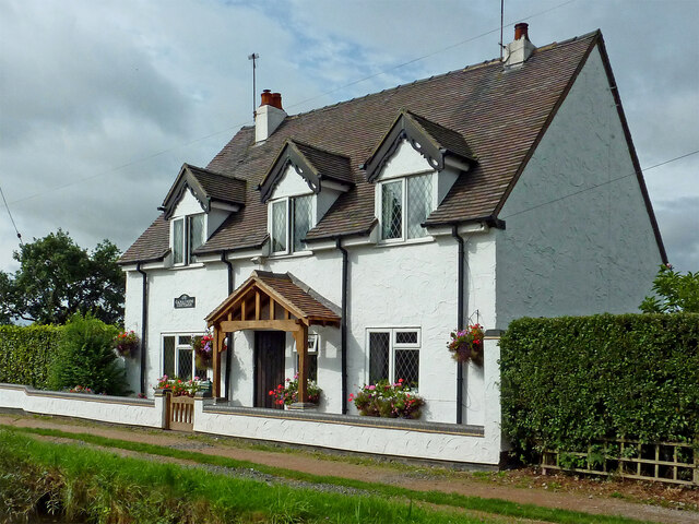
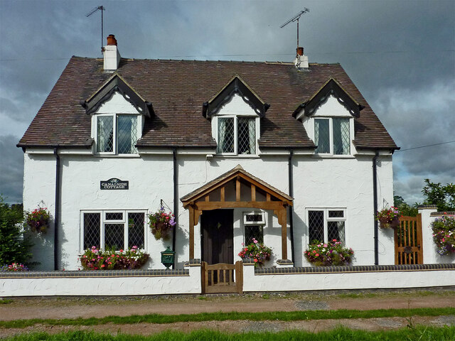
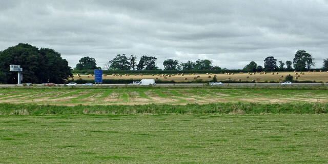
Acton Trussell and Bednall is a civil parish located in Staffordshire, England. It is situated about 4 miles southwest of Stafford, the county town. The parish is primarily rural, with a mix of agricultural land, open spaces, and residential areas.

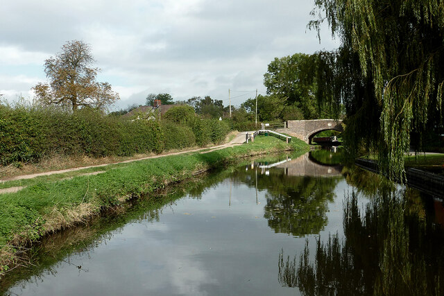
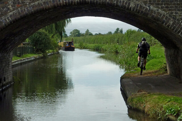
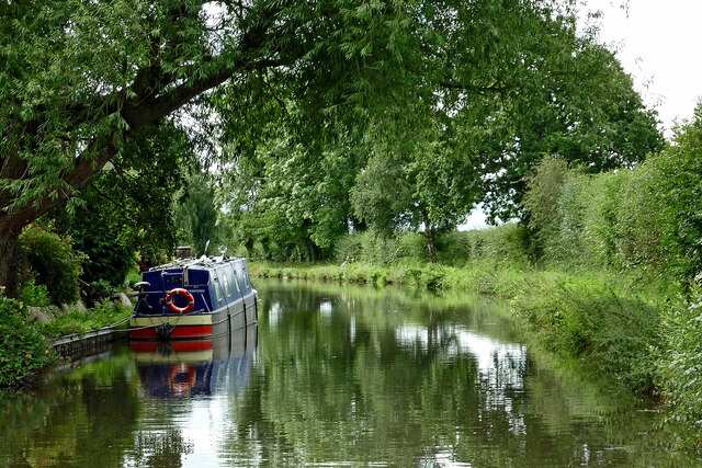
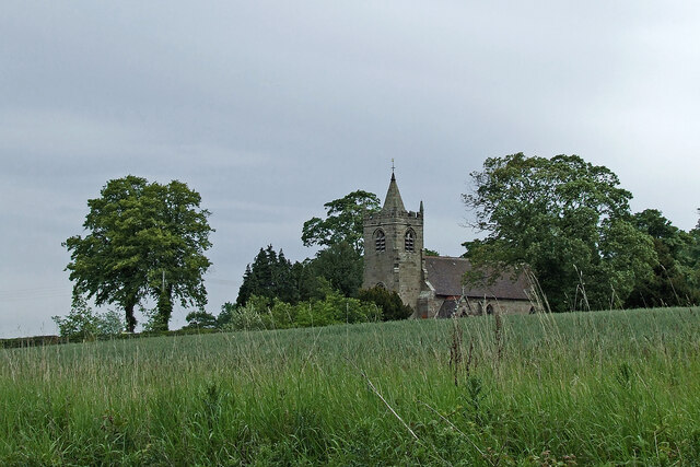
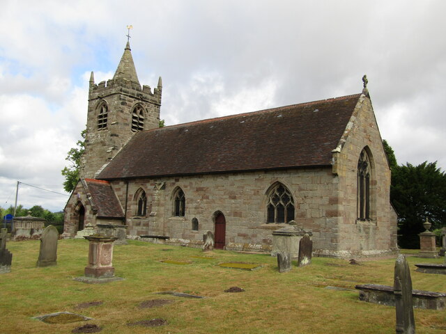
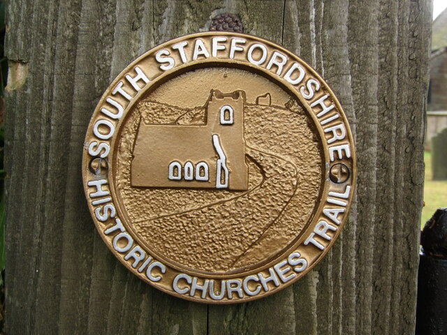
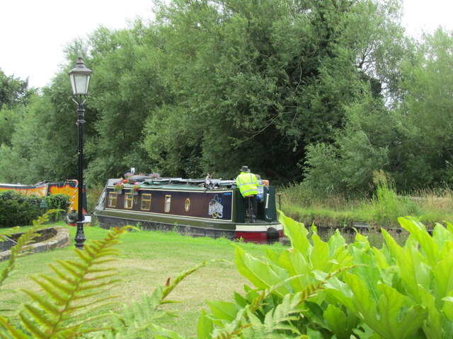
Acton Trussell is a small village within the parish, and it is known for its picturesque setting along the River Penk. The village features a number of historic buildings, including St. James' Church, which dates back to the 13th century. The church is a prominent local landmark and attracts visitors interested in its architectural and historical significance.

Bednall, on the other hand, is a hamlet located to the southwest of Acton Trussell. It is a quiet and secluded area, surrounded by fields and farmland. The hamlet is home to a small number of residents and offers a peaceful retreat from the hustle and bustle of urban life.

The civil parish as a whole enjoys a close-knit community atmosphere, with residents taking pride in their surroundings and participating in local events. The area is known for its natural beauty, with ample opportunities for outdoor activities such as walking, cycling, and fishing.

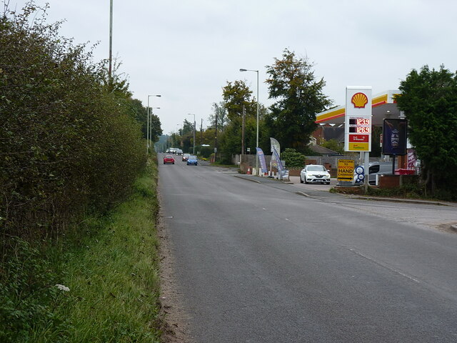
Overall, Acton Trussell and Bednall provide a charming and idyllic setting for those seeking a rural lifestyle while still being within easy reach of the amenities and transport links of Stafford.

If you have any feedback on the listing, please let us know in the comments section below.

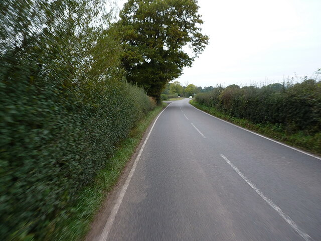
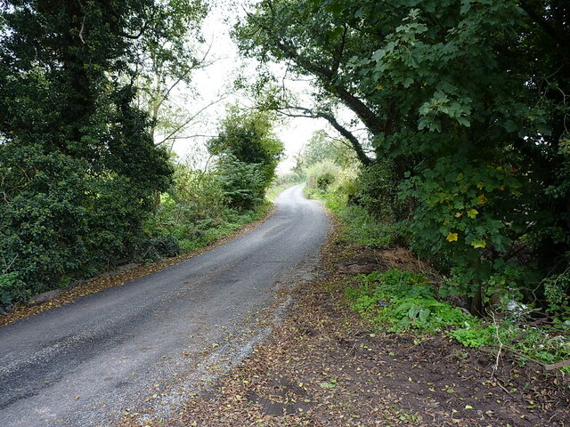
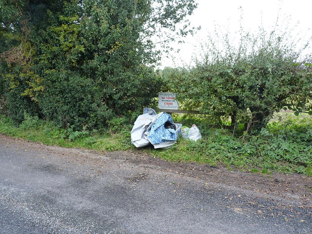
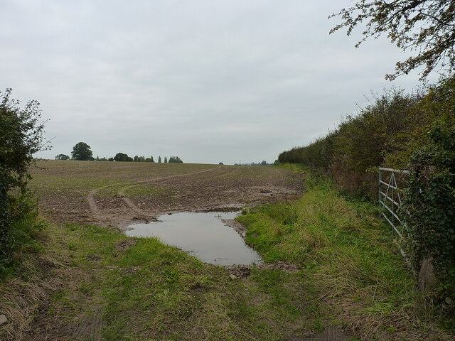
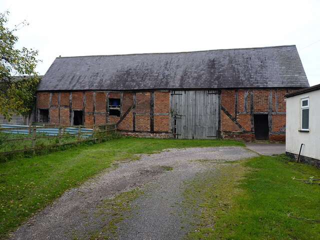
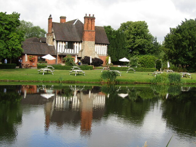
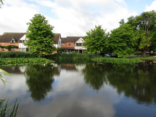
Acton Trussell and Bednall Images

Images are sourced within 2km of 52.75689/-2.072944 or Grid Reference SJ9517. Thanks to Geograph Open Source API. All images are credited.

Canal near Acton Trussell in Staffordshire This is the Staffordshire and Worcestershire Canal, looking north-north-east towards Acton Bridge (No 93), Stafford and Great Haywood.
Canal near Acton Trussell in Staffordshire
This is the Staffordshire and Worcestershire Canal, looking north-north-east towards Acton Bridge (No 93), Stafford and Great Haywood.
Canal near Acton Trussell in Staffordshire Looking south-south-west towards Penkridge and Wolverhampton, this image shows the Staffordshire and Worcestershire Canal at Acton Bridge, No 93. The bridge carries Mill Lane.
Canal near Acton Trussell in Staffordshire
Looking south-south-west towards Penkridge and Wolverhampton, this image shows the Staffordshire and Worcestershire Canal at Acton Bridge, No 93. The bridge carries Mill Lane.
Canalside Cottage near Acton Trussell in Staffordshire By the Staffordshire and Worcestershire Canal.
There is no actual road access to the premises; just a strengthened towpath.
Canalside Cottage near Acton Trussell in Staffordshire
By the Staffordshire and Worcestershire Canal. There is no actual road access to the premises; just a strengthened towpath.
Canal near Acton Trussell in Staffordshire Looking south towards Penkridge, this is the Staffordshire and Worcestershire Canal near the southern part of Acton Trussell (off to the left). The large overhanging tree has been felled since the image was obtained.
Canal near Acton Trussell in Staffordshire
Looking south towards Penkridge, this is the Staffordshire and Worcestershire Canal near the southern part of Acton Trussell (off to the left). The large overhanging tree has been felled since the image was obtained.
Farmland and motorway near Acton Trussell, Staffordshire Looking west-south-west from the Staffordshire and Worcestershire Canal. Cockpit Plantation is on the left. The M6 motorway crosses the view, and just below it, the River Penk (hidden) meanders, flowing from left to right.
Farmland and motorway near Acton Trussell, Staffordshire
Looking west-south-west from the Staffordshire and Worcestershire Canal. Cockpit Plantation is on the left. The M6 motorway crosses the view, and just below it, the River Penk (hidden) meanders, flowing from left to right.
Across the fields to church No, it's not a route, just a view from the Staffordshire and Worcestershire Canal, looking north-east towards the Church of St James in Acton Trussell.
Across the fields to church
No, it's not a route, just a view from the Staffordshire and Worcestershire Canal, looking north-east towards the Church of St James in Acton Trussell.
Filling station on the Cannock Road, A34, at Newtown Petrol at this point in time was for sale at £1.239 per litre, with diesel a few pence more than that.
Filling station on the Cannock Road, A34, at Newtown
Petrol at this point in time was for sale at £1.239 per litre, with diesel a few pence more than that.
Along Teddesley Road near Newtown
Narrow lane east of Acton Trussell The fly-tipped furniture <a href="https://www.geograph.org.uk/photo/2805943">SJ9418 : Discarded furniture by a country lane</a> that was here on Acton Hall Lane some years ago has been removed.
Narrow lane east of Acton Trussell
The fly-tipped furniture SJ9418 : Discarded furniture by a country lane that was here on Acton Hall Lane some years ago has been removed.
Some people clearly can't read Or they genuinely do not give a monkey's about anyone else, or the state of the countryside around them. This sort of inexcusable behaviour warrants the return of capital punishment, in my book.
Some people clearly can't read
Or they genuinely do not give a monkey's about anyone else, or the state of the countryside around them. This sort of inexcusable behaviour warrants the return of capital punishment, in my book.
Field and hedgerow near Acton Hall Lane
Timber-framed barn at Lower Farm Described in its 1986 Grade II listing <span class="nowrap"><a title="https://britishlistedbuildings.co.uk/101039249-barn-incorporating-cowhouse-approximately-5-yards-north-of-lower-farmhouse-acton-trussell-and-bednall#.Ymo90drMI2w" rel="nofollow ugc noopener" href="https://britishlistedbuildings.co.uk/101039249-barn-incorporating-cowhouse-approximately-5-yards-north-of-lower-farmhouse-acton-trussell-and-bednall#.Ymo90drMI2w">Link</a><img style="margin-left:2px;" alt="External link" title="External link - shift click to open in new window" src="https://s1.geograph.org.uk/img/external.png" width="10" height="10"/></span> & <span class="nowrap"><a title="https://historicengland.org.uk/listing/the-list/list-entry/1039249" rel="nofollow ugc noopener" href="https://historicengland.org.uk/listing/the-list/list-entry/1039249">Link</a><img style="margin-left:2px;" alt="External link" title="External link - shift click to open in new window" src="https://s1.geograph.org.uk/img/external.png" width="10" height="10"/></span> as "Early 18th century", this building is still in agricultural use. It has a cowhouse at the left end, and a threshing room to the right of the full-height doorway.
Timber-framed barn at Lower Farm
Described in its 1986 Grade II listing LinkExternal link & LinkExternal link as "Early 18th century", this building is still in agricultural use. It has a cowhouse at the left end, and a threshing room to the right of the full-height doorway.
Acton Trussell - The Moat House This upmarket hotel is centred on an historic manor house and still has parts of the moat around it.
<span class="nowrap"><a title="www.moathouse.co.uk" rel="nofollow ugc noopener" href="http://www.moathouse.co.uk">Link</a><img style="margin-left:2px;" alt="External link" title="External link - shift click to open in new window" src="https://s1.geograph.org.uk/img/external.png" width="10" height="10"/></span>
Acton Trussell - The Moat House
This upmarket hotel is centred on an historic manor house and still has parts of the moat around it. LinkExternal link
Acton Trussell - Parish Church St James Church dates from ca 1300 and lies south of the village Acton Trussell. Note the dinky spire on the low tower.
Acton Trussell - Parish Church
St James Church dates from ca 1300 and lies south of the village Acton Trussell. Note the dinky spire on the low tower.
South Staffordshire - Historic Churches Trail Small waymarker outside medieval St James Church in Acton Trussell. Despite the plaque the church is not always open to visitors.
South Staffordshire - Historic Churches Trail
Small waymarker outside medieval St James Church in Acton Trussell. Despite the plaque the church is not always open to visitors.
Acton Trussell Narrowboat on the Staffordshire and Worcestershire Canal passing The Moat House.
Acton Trussell
Narrowboat on the Staffordshire and Worcestershire Canal passing The Moat House.
Show me another place!

Acton Trussell and Bednall is located at Grid Ref: SJ9517 (Lat: 52.75689, Lng: -2.072944)

Administrative County: Staffordshire

District: South Staffordshire

Police Authority: Staffordshire

What 3 Words

///gong.shrugging.decades. Near Penkridge, Staffordshire

Related Wikis

Acton Trussell and Bednall

Acton Trussell and Bednall is a civil parish in the South Staffordshire district of Staffordshire, England. As the name indicates, it contains the two...

Bednall

Bednall is a village in Staffordshire, England. == Location == Bednall lies somewhat remote from main roads, in dairy-farming countryside some 2.5 miles...

Acton Trussell

Acton Trussell is a village in the English county of Staffordshire. It is known as Actone in the Domesday Book. Located around 4 miles southeast of Stafford...

Teddesley Hall

Teddesley Hall was a large Georgian English country house located close to Penkridge in Staffordshire, now demolished. It was the main seat firstly of...

Brocton, Staffordshire

Brocton is a village and civil parish in the English county of Staffordshire. It is within the borough of Stafford. The village describes itself as the...

Dunston, Staffordshire

Dunston is a small village in England lying on the west side of the A449 trunk road about 3 miles (4.8 km) south of Stafford, close to Junction 13 of the...

Radford Meadows

Radford Meadows is a nature reserve of the Staffordshire Wildlife Trust, on the southern edge of Stafford, in Staffordshire, England. The reserve is a...

Walton High School, Stafford

Walton High School is a large mixed secondary school and sixth form serving a community in the southern part of Stafford, England.There are approximately...

Nearby Amenities

Located within 500m of 52.75689,-2.072944
Bus Stop
All Saints Church
Bus: yes
Naptan AtcoCode: 3800C600200
Naptan Bearing: N
Naptan CommonName: All Saints Church
Naptan Indicator: Adj
Naptan Landmark: All Saints Church
Naptan Street: Cock Lane
Naptan Verified: no
Public Transport: platform
Source: naptan_import
Lat/Long: 52.7581042/-2.0677633
Bus Stop
All Saints Church
Bus: yes
Naptan AtcoCode: 3800C600201
Naptan Bearing: SE
Naptan CommonName: All Saints Church
Naptan Indicator: Opp
Naptan Landmark: All Saints Church
Naptan Street: Common Lane
Naptan Verified: no
Public Transport: platform
Source: naptan_import
Lat/Long: 52.7582481/-2.0677783
Bednall
Is In: Staffordshire,UK
Place: village
Lat/Long: 52.758579/-2.0675979
Barrier: stile
Steps: 1
Stile: stepover
Lat/Long: 52.7587898/-2.0667602
Generator Method: photovoltaic
Generator Output Electricity: yes
Generator Source: solar
Generator Type: solar_photovoltaic_panel
Location: roof
Power: generator
Lat/Long: 52.757968/-2.0688079
Generator Method: photovoltaic
Generator Output Electricity: yes
Generator Source: solar
Generator Type: solar_photovoltaic_panel
Location: roof
Power: generator
Lat/Long: 52.7569096/-2.0694007
The data included in this document is from www.openstreetmap.org. The data is made available under ODbL.

Have you been to Acton Trussell and Bednall?

Leave your review of Acton Trussell and Bednall below (or comments, questions and feedback).