Acton Turville

Civil Parish in Gloucestershire

England

Acton Turville

Old Milestone, B4040, Acton Turville On the South verge of the B4040, West of Acton Turville, in Tormarton parish. Rivet Benchmark on top representing 138.5 m ASL.

Inscription (was): Chipping Sodbury 5 / Chippenham 10

Milestone Society National ID: GL_SYCP05
Old Milestone, B4040, Acton Turville Credit: Mr Red

Acton Turville is a civil parish located in the county of Gloucestershire, England. Situated in the southern part of the Cotswolds, it is surrounded by picturesque countryside, making it an attractive rural area.

The parish is relatively small in size, covering an area of approximately 6 square kilometers. It has a population of around 400 residents, according to the latest census data. The village itself is a charming settlement with a mix of traditional stone-built houses and more modern properties.

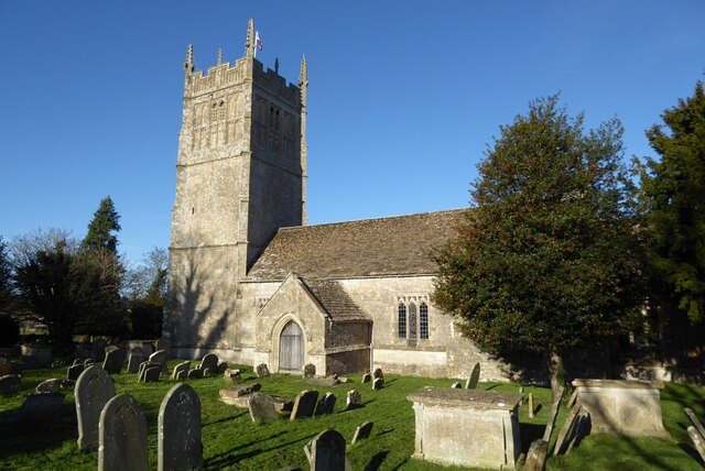
Acton Turville is known for its rich history, dating back to the medieval period. The village features a number of historic buildings, including St. Mary's Church, which dates back to the 12th century. The church is a prominent landmark and a testament to the area's heritage.

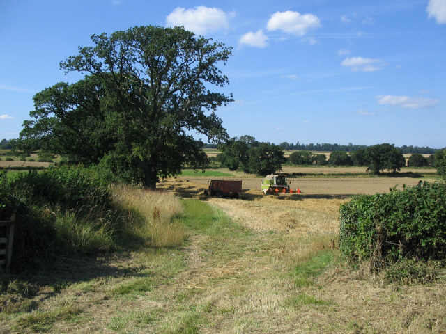
The parish also offers a range of amenities and services to its residents. These include a primary school, a village hall, and a local pub. The surrounding countryside provides ample opportunities for outdoor activities, such as walking, cycling, and horse riding.

Despite its rural setting, Acton Turville benefits from good transport links. It is conveniently located near the M4 motorway, providing easy access to nearby towns and cities. The city of Bristol is approximately 20 miles away, while the town of Chippenham is around 10 miles to the east.

Overall, Acton Turville is a peaceful and picturesque civil parish with a strong sense of community and a rich historical heritage.

If you have any feedback on the listing, please let us know in the comments section below.

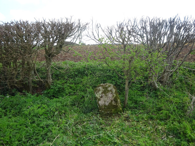
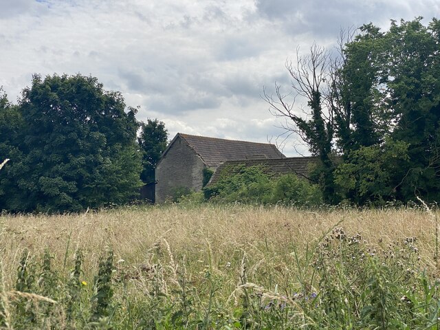
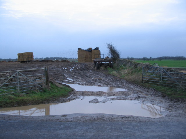
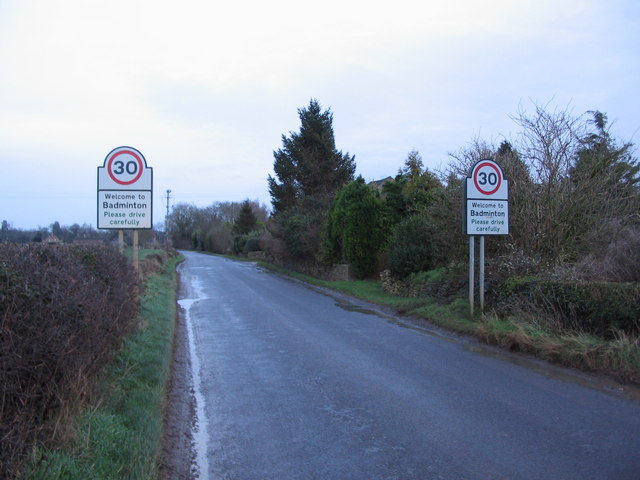
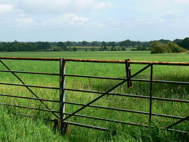
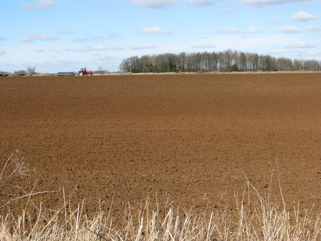
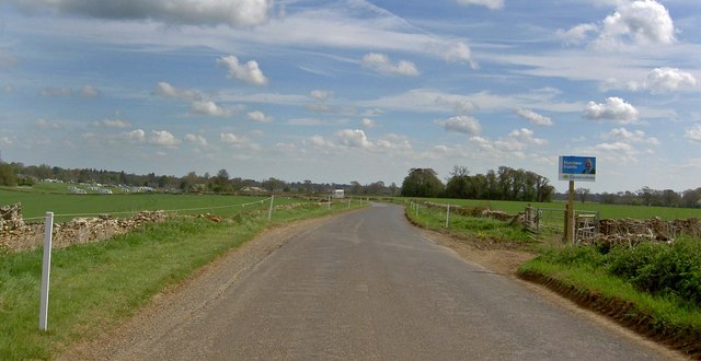
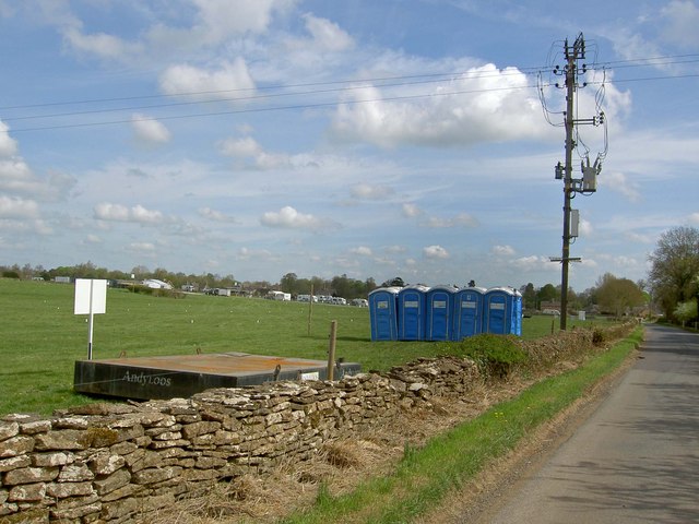
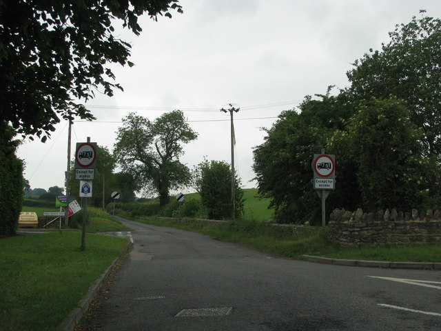
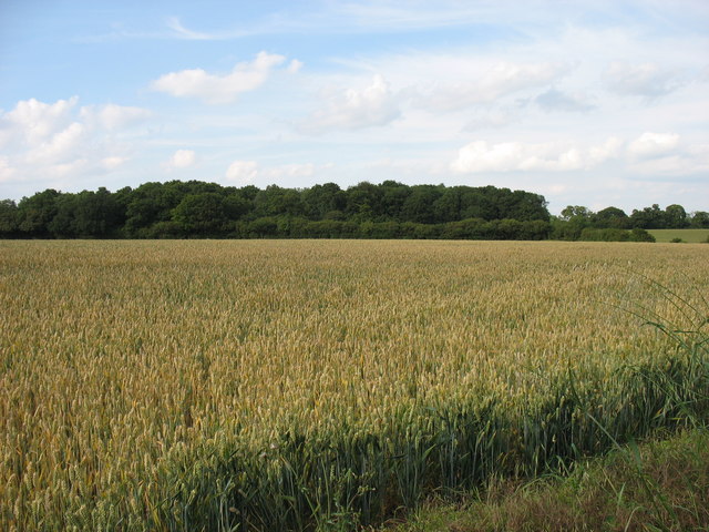
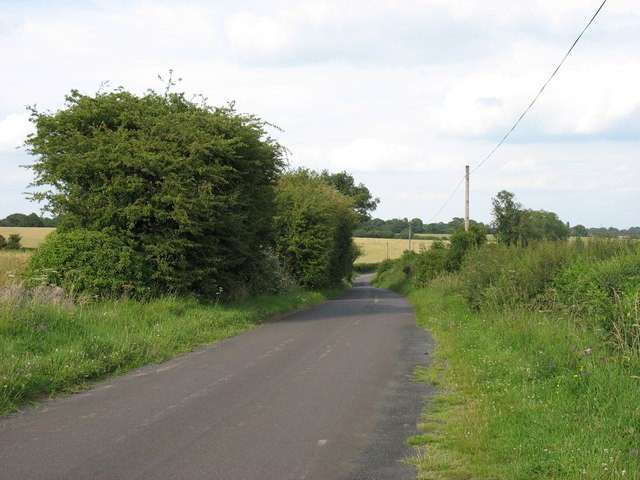
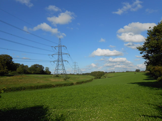
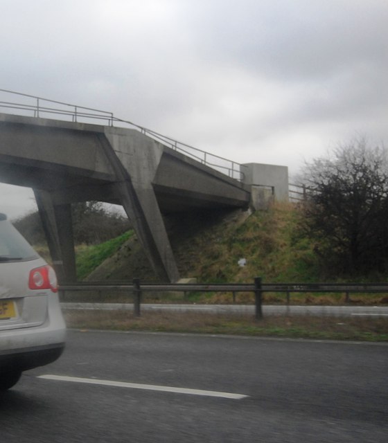
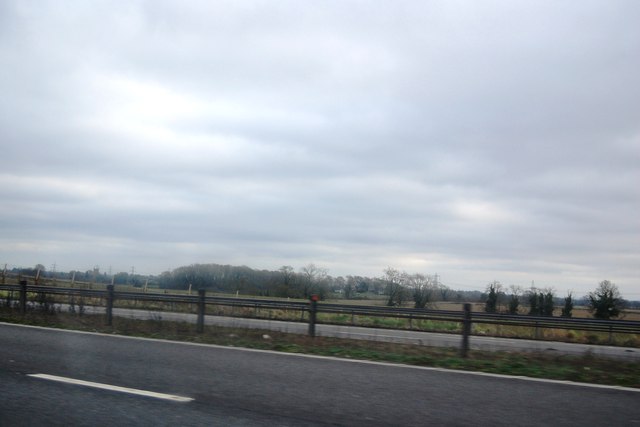
Acton Turville Images

Images are sourced within 2km of 51.523935/-2.27493 or Grid Reference ST8180. Thanks to Geograph Open Source API. All images are credited.

Old Milestone, B4040, Acton Turville On the South verge of the B4040, West of Acton Turville, in Tormarton parish. Rivet Benchmark on top representing 138.5 m ASL.

Inscription (was): Chipping Sodbury 5 / Chippenham 10

Milestone Society National ID: GL_SYCP05
Old Milestone, B4040, Acton Turville
On the South verge of the B4040, West of Acton Turville, in Tormarton parish. Rivet Benchmark on top representing 138.5 m ASL. Inscription (was): Chipping Sodbury 5 / Chippenham 10 Milestone Society National ID: GL_SYCP05
Warren Barn
Warren Barn
Burton church St Mary's church in Burton dates from the 13th century and is Grade I listed, see: <span class="nowrap"><a title="https://historicengland.org.uk/listing/the-list/list-entry/1022949?section=official-list-entry" rel="nofollow ugc noopener" href="https://historicengland.org.uk/listing/the-list/list-entry/1022949?section=official-list-entry">Link</a><img style="margin-left:2px;" alt="External link" title="External link - shift click to open in new window" src="https://s1.geograph.org.uk/img/external.png" width="10" height="10"/></span>
Burton church
St Mary's church in Burton dates from the 13th century and is Grade I listed, see: LinkExternal link
Harvest time A view looking north from the B4040 towards harvesting operations on the Cotswolds.
Harvest time
A view looking north from the B4040 towards harvesting operations on the Cotswolds.
Field entrance on Old Down Road A view looking south across Old Down Road towards a waterlogged field entrance following recent heavy rain.
Field entrance on Old Down Road
A view looking south across Old Down Road towards a waterlogged field entrance following recent heavy rain.
Approaching Badminton A view looking to the northeast approaching Badminton along Old Down Road.
Approaching Badminton
A view looking to the northeast approaching Badminton along Old Down Road.
A view south-east from Roach's Lane, Badminton Across farmland.
A view south-east from Roach's Lane, Badminton
Across farmland.
Freshly turned field by Warren Barn
Vote for Matthew Riddle Election poster nearing the Badminton horse trial area, the rope fencing is presumably to deter parking on the narrow country roads.
Vote for Matthew Riddle
Election poster nearing the Badminton horse trial area, the rope fencing is presumably to deter parking on the narrow country roads.
Andy Loos at the Badminton Horse Trial caravan area The event is held from 30th April to 3rd May.
Andy Loos at the Badminton Horse Trial caravan area
The event is held from 30th April to 3rd May.
Road junction west of Burton
Wall Leaze Wood From a minor road west of Burton, Wiltshire.
The M4 is only 300 metres away, but here it can be heard but not seen!
Wall Leaze Wood
From a minor road west of Burton, Wiltshire. The M4 is only 300 metres away, but here it can be heard but not seen!
The lane leading from Tormarton to Burton
House at Burton Farm This modern house is part of the farm just to the south of the village of Burton which is mainly a pig farm with an extensive range of pig units.
House at Burton Farm
This modern house is part of the farm just to the south of the village of Burton which is mainly a pig farm with an extensive range of pig units.
Powerlines Near Nettleton These powerlines are in the very north east corner of the grid square. The pylon in the middle of the image is actually in ST8278. Most of the sloping land in this area is pasture land.
Powerlines Near Nettleton
These powerlines are in the very north east corner of the grid square. The pylon in the middle of the image is actually in ST8278. Most of the sloping land in this area is pasture land.
M4, B4039 Bridge
M4, B4039 Bridge
The M4 The M4 is 190 miles long and runs from London to South Wales. Major centres close to the motorway include Reading, Swindon, Bristol, Newport, Cardiff and Swansea. The motorway was constructed between 1961 and 1996. The M4 originally crossed the first Severn Road Bridge. It has now been diverted to use the Second Severn Crossing and the motorway over the older bridge has been renumbered as M48.
Wikipedia: <span class="nowrap"><a title="http://en.wikipedia.org/wiki/M4_motorway" rel="nofollow ugc noopener" href="http://en.wikipedia.org/wiki/M4_motorway">Link</a><img style="margin-left:2px;" alt="External link" title="External link - shift click to open in new window" src="https://s1.geograph.org.uk/img/external.png" width="10" height="10"/></span>
The M4
The M4 is 190 miles long and runs from London to South Wales. Major centres close to the motorway include Reading, Swindon, Bristol, Newport, Cardiff and Swansea. The motorway was constructed between 1961 and 1996. The M4 originally crossed the first Severn Road Bridge. It has now been diverted to use the Second Severn Crossing and the motorway over the older bridge has been renumbered as M48. Wikipedia: LinkExternal link
Bushes by the M4
Bushes by the M4
Show me another place!

Acton Turville is located at Grid Ref: ST8180 (Lat: 51.523935, Lng: -2.27493)

Unitary Authority: South Gloucestershire

Police Authority: Avon and Somerset

What 3 Words

///hampers.hounded.narrates. Near Nettleton, Wiltshire

Nearby Locations

Acton Turville

Related Wikis

Nearby Amenities

Located within 500m of 51.523935,-2.27493
Acton Turville
Place: village
Website: http://www.actonturville.net/
Wikidata: Q4677693
Wikipedia: en:Acton Turville
Lat/Long: 51.5269666/-2.2771333
Bus Stop
Fox & Hounds
Bus: yes
Naptan AtcoCode: 0170SGA19750
Naptan Bearing: N
Naptan CommonName: Fox & Hounds
Naptan Crossing: Tormarton Road
Naptan NaptanCode: sglpjtp
Naptan Street: Burton Road
Naptan Verified: no
Public Transport: platform
Source: naptan_import
Lat/Long: 51.5250766/-2.2772914
Bus Stop
Fox & Hounds
Bus: yes
Naptan AtcoCode: 0170SGA19751
Naptan Bearing: S
Naptan CommonName: Fox & Hounds
Naptan Crossing: Tormarton Road
Naptan NaptanCode: sglpjtw
Naptan Street: Burton Road
Naptan Verified: no
Public Transport: platform
Source: naptan_import
Lat/Long: 51.5251397/-2.2772341
Bus Stop
Hollybush Close
Bus: yes
Naptan AtcoCode: 0170SGB20821
Naptan Bearing: E
Naptan CommonName: Hollybush Close
Naptan Crossing: Hollybush Close
Naptan Landmark: Hollybush Farm
Naptan NaptanCode: sglpdtm
Naptan Street: N/A
Naptan Verified: no
Public Transport: platform
Source: naptan_import
Lat/Long: 51.5261713/-2.2744583
Bus Stop
Limes Farm
Bus: yes
Naptan AtcoCode: 0170SGX38429
Naptan Bearing: E
Naptan CommonName: Limes Farm
Naptan Crossing: Luckington Road
Naptan NaptanCode: sglpdtg
Naptan Street: N/A
Naptan Verified: no
Public Transport: platform
Source: naptan_import
Lat/Long: 51.5276257/-2.2754185
Bus Stop
Limes Farm
Bus: yes
Naptan AtcoCode: 0170SGX38430
Naptan Bearing: W
Naptan CommonName: Limes Farm
Naptan NaptanCode: sglpdtj
Naptan Street: Luckington Road
Naptan Verified: no
Public Transport: platform
Source: naptan_import
Lat/Long: 51.5275539/-2.2753604
Post Box
Post Box Type: lamp
Ref: GL9 101
Royal Cypher: EIIR
Royal Cypher Wikidata: Q33102113
Lat/Long: 51.5258205/-2.2761307
Fixme: check exact location of speed limit change
Lat/Long: 51.5246096/-2.2800507
Barrier: cycle_barrier
Lat/Long: 51.5268009/-2.2740211
Fixme: This telephone box appears to be missing on Street Level Imagery. Please confirm.
Mapillary: 373261450754920
Removed Amenity: telephone
Survey Date: 2020-07-17
Lat/Long: 51.5275451/-2.2746044
Give Way
Direction: backward
Lat/Long: 51.5253634/-2.2774275
Stop
Direction: backward
Lat/Long: 51.5273745/-2.2765059
Post Box
Collection Times: Mo-Fr 16:00; Sa 09:30
Drive Through: no
Operator: Royal Mail
Operator Wikidata: Q638098
Post Box Mounting: pier
Post Box Type: lamp
Ref: GL9 293
Survey Date: 2020-12-22
Lat/Long: 51.52516/-2.278373
Defibrillator
Defibrillator Location: On front of Village Store/Post Office
Emergency: defibrillator
Indoor: no
Survey Date: 2020-12-22
Lat/Long: 51.5251474/-2.2784153
Power: pole
Lat/Long: 51.5247273/-2.2792722
Power: pole
Lat/Long: 51.5249365/-2.2793831
Power: pole
Lat/Long: 51.525166/-2.278769
Power: pole
Lat/Long: 51.5253323/-2.2779552
Power: pole
Lat/Long: 51.5254013/-2.2782168
Power: pole
Lat/Long: 51.5254668/-2.2774158
Bench
Lat/Long: 51.5253499/-2.2773026
Advertising: board
Lat/Long: 51.5258312/-2.2761067
Advertising: board
Lat/Long: 51.5259139/-2.2754282
Power: pole
Lat/Long: 51.526045/-2.2744833
Power: pole
Lat/Long: 51.5261066/-2.2745222
Power: pole
Lat/Long: 51.5252523/-2.2739382
Power: pole
Lat/Long: 51.5256499/-2.2724602
Power: pole
Lat/Long: 51.5255754/-2.2709856
Power: pole
Lat/Long: 51.5255141/-2.269365
Power: pole
Lat/Long: 51.5260368/-2.2709519
Power: pole
Lat/Long: 51.525688/-2.2767159
Power: pole
Lat/Long: 51.5258241/-2.2761105
Power: pole
Lat/Long: 51.5259382/-2.2753186
Power: pole
Lat/Long: 51.5261883/-2.2759841
Power: pole
Lat/Long: 51.5262286/-2.27408
Power: pole
Lat/Long: 51.5274457/-2.2742575
Power: pole
Lat/Long: 51.5272903/-2.2750269
Power: pole
Lat/Long: 51.5270876/-2.274031
Power: pole
Lat/Long: 51.5273716/-2.2753164
Power: pole
Lat/Long: 51.5277595/-2.2747695
Power: substation
Lat/Long: 51.5275178/-2.2754337
Power: pole
Lat/Long: 51.5266664/-2.2761105
Power: pole
Lat/Long: 51.5270147/-2.2762459
Power: pole
Lat/Long: 51.5272646/-2.2765839
Power: pole
Lat/Long: 51.5271688/-2.277267
Power: pole
Lat/Long: 51.5274132/-2.2766759
Power: pole
Lat/Long: 51.5277325/-2.2768511
Power: pole
Lat/Long: 51.5280938/-2.2767593
Direction: 160
Generator Method: photovoltaic
Generator Output Electricity: yes
Generator Solar Modules: 12
Generator Source: solar
Generator Type: solar_photovoltaic_panel
Location: roof
Power: generator
Lat/Long: 51.5268293/-2.273901
Direction: 160
Generator Method: photovoltaic
Generator Output Electricity: yes
Generator Solar Modules: 10
Generator Source: solar
Generator Type: solar_photovoltaic_panel
Location: roof
Power: generator
Lat/Long: 51.5268806/-2.2736948
Direction: 160
Generator Method: photovoltaic
Generator Output Electricity: yes
Generator Solar Modules: 10
Generator Source: solar
Generator Type: solar_photovoltaic_panel
Location: roof
Power: generator
Lat/Long: 51.5269042/-2.2735851
Direction: 250
Generator Method: photovoltaic
Generator Output Electricity: yes
Generator Solar Modules: 10
Generator Source: solar
Generator Type: solar_photovoltaic_panel
Location: roof
Power: generator
Lat/Long: 51.5270644/-2.2738753
Direction: 250
Generator Method: photovoltaic
Generator Output Electricity: yes
Generator Solar Modules: 12
Generator Source: solar
Generator Type: solar_photovoltaic_panel
Location: roof
Power: generator
Lat/Long: 51.5270077/-2.2738426
Direction: 250
Generator Method: photovoltaic
Generator Output Electricity: yes
Generator Solar Modules: 8
Generator Source: solar
Generator Type: solar_photovoltaic_panel
Location: roof
Power: generator
Lat/Long: 51.5268134/-2.2744239
Direction: 250
Generator Method: photovoltaic
Generator Output Electricity: yes
Generator Solar Modules: 8
Generator Source: solar
Generator Type: solar_photovoltaic_panel
Location: roof
Power: generator
Lat/Long: 51.5268745/-2.2744637
Direction: 250
Generator Method: photovoltaic
Generator Output Electricity: yes
Generator Solar Modules: 8
Generator Source: solar
Generator Type: solar_photovoltaic_panel
Location: roof
Power: generator
Lat/Long: 51.5269329/-2.2745451
Direction: 250
Generator Method: photovoltaic
Generator Output Electricity: yes
Generator Solar Modules: 8
Generator Source: solar
Generator Type: solar_photovoltaic_panel
Location: roof
Power: generator
Lat/Long: 51.527/-2.2745911
Direction: 145
Generator Method: photovoltaic
Generator Output Electricity: yes
Generator Solar Modules: 16
Generator Source: solar
Generator Type: solar_photovoltaic_panel
Location: roof
Power: generator
Lat/Long: 51.5274806/-2.2743655
The data included in this document is from www.openstreetmap.org. The data is made available under ODbL.

Have you been to Acton Turville?

Leave your review of Acton Turville below (or comments, questions and feedback).