Bednall

Settlement in Staffordshire South Staffordshire

England

Bednall

Southern end of the bridleway The track from Walton on the Hill, which runs in a generally southeasterly direction, emerges here onto Sawpit Lane at Brocton.
Southern end of the bridleway Credit: Richard Law

Bednall is a small village located in the county of Staffordshire, England. With a population of around 200 residents, it is a close-knit and tight community that offers a peaceful and tranquil living environment. The village is situated approximately 5 miles east of the town of Stafford, making it easily accessible for commuting purposes.

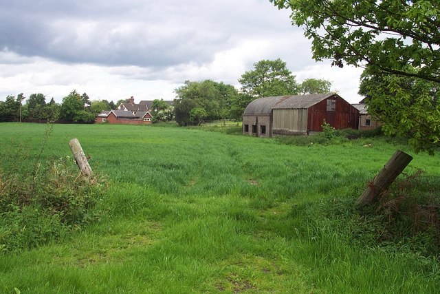
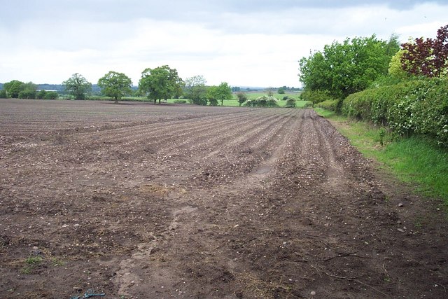
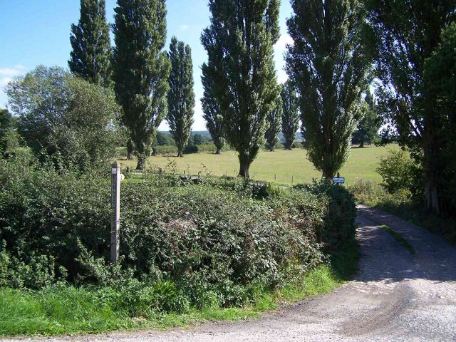
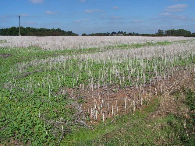
One of the distinctive features of Bednall is its picturesque countryside setting. Surrounded by rolling hills and lush green fields, the village boasts stunning views and opportunities for outdoor activities such as hiking and cycling. The nearby Cannock Chase, an Area of Outstanding Natural Beauty, further enhances the natural beauty of the area.

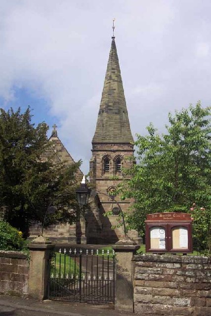
Despite its small size, Bednall has a rich history that can be traced back several centuries. The village is home to several historic buildings, including the Grade II listed St. Mary's Church, which dates back to the 12th century. The church serves as a focal point for the community and holds regular services and events.

In terms of amenities, Bednall has limited facilities within the village itself. However, the nearby town of Stafford provides a range of amenities including shops, supermarkets, schools, and healthcare facilities. The village benefits from good transport links, with regular bus services connecting it to Stafford and other nearby towns.

Overall, Bednall offers a charming and idyllic lifestyle in a rural setting, making it an attractive place to live for those seeking peace and tranquility in the Staffordshire countryside.

If you have any feedback on the listing, please let us know in the comments section below.
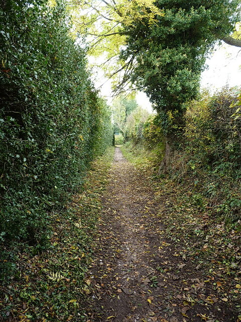
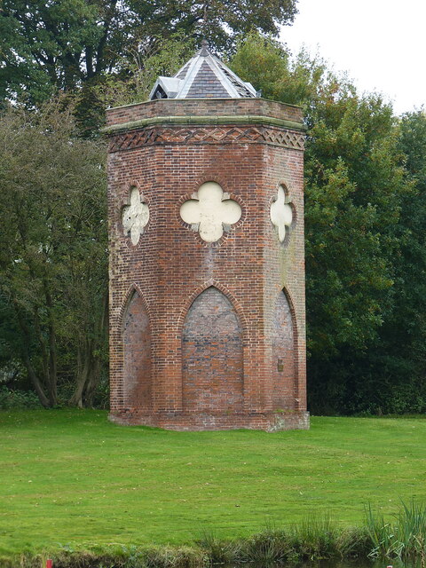
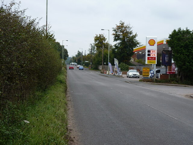
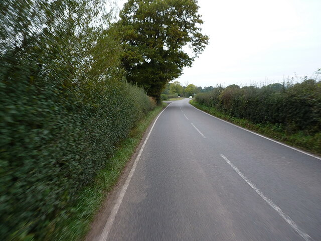
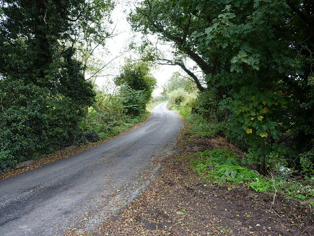
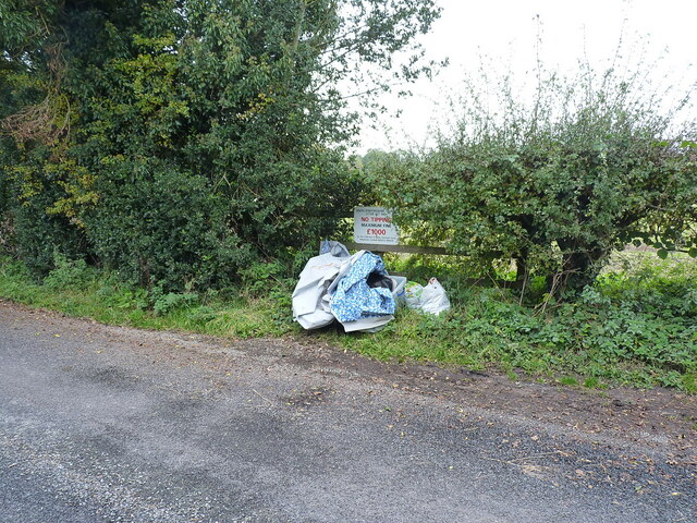
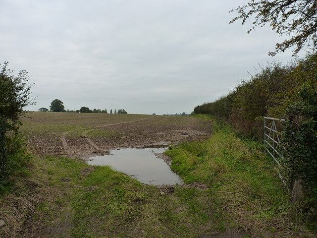
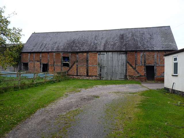
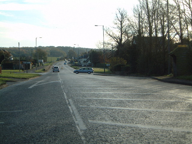
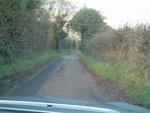
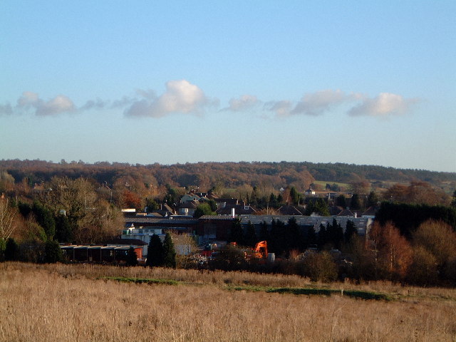
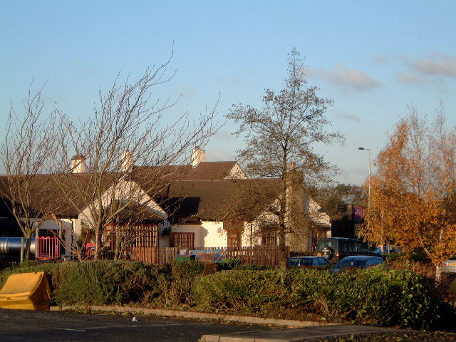
Bednall Images

Images are sourced within 2km of 52.757192/-2.064439 or Grid Reference SJ9517. Thanks to Geograph Open Source API. All images are credited.

Southern end of the bridleway The track from Walton on the Hill, which runs in a generally southeasterly direction, emerges here onto Sawpit Lane at Brocton.
Southern end of the bridleway
The track from Walton on the Hill, which runs in a generally southeasterly direction, emerges here onto Sawpit Lane at Brocton.
Dovecot at Brocton Hall In the grounds of Brocton Hall, which is now the golf club, this 18th century former dovecot was Grade II listed <span class="nowrap"><a title="https://britishlistedbuildings.co.uk/101116692-dovecote-at-brocton-hall-brocton#.Yle9wOjMI2w" rel="nofollow ugc noopener" href="https://britishlistedbuildings.co.uk/101116692-dovecote-at-brocton-hall-brocton#.Yle9wOjMI2w">Link</a><img style="margin-left:2px;" alt="External link" title="External link - shift click to open in new window" src="https://s1.geograph.org.uk/img/external.png" width="10" height="10"/></span> & <span class="nowrap"><a title="https://historicengland.org.uk/listing/the-list/list-entry/1116692" rel="nofollow ugc noopener" href="https://historicengland.org.uk/listing/the-list/list-entry/1116692">Link</a><img style="margin-left:2px;" alt="External link" title="External link - shift click to open in new window" src="https://s1.geograph.org.uk/img/external.png" width="10" height="10"/></span> in 1968.
Dovecot at Brocton Hall
In the grounds of Brocton Hall, which is now the golf club, this 18th century former dovecot was Grade II listed LinkExternal link & LinkExternal link in 1968.
Filling station on the Cannock Road, A34, at Newtown Petrol at this point in time was for sale at £1.239 per litre, with diesel a few pence more than that.
Filling station on the Cannock Road, A34, at Newtown
Petrol at this point in time was for sale at £1.239 per litre, with diesel a few pence more than that.
Along Teddesley Road near Newtown
Narrow lane east of Acton Trussell The fly-tipped furniture <a href="https://www.geograph.org.uk/photo/2805943">SJ9418 : Discarded furniture by a country lane</a> that was here on Acton Hall Lane some years ago has been removed.
Narrow lane east of Acton Trussell
The fly-tipped furniture SJ9418 : Discarded furniture by a country lane that was here on Acton Hall Lane some years ago has been removed.
Some people clearly can't read Or they genuinely do not give a monkey's about anyone else, or the state of the countryside around them. This sort of inexcusable behaviour warrants the return of capital punishment, in my book.
Some people clearly can't read
Or they genuinely do not give a monkey's about anyone else, or the state of the countryside around them. This sort of inexcusable behaviour warrants the return of capital punishment, in my book.
Field and hedgerow near Acton Hall Lane
Timber-framed barn at Lower Farm Described in its 1986 Grade II listing <span class="nowrap"><a title="https://britishlistedbuildings.co.uk/101039249-barn-incorporating-cowhouse-approximately-5-yards-north-of-lower-farmhouse-acton-trussell-and-bednall#.Ymo90drMI2w" rel="nofollow ugc noopener" href="https://britishlistedbuildings.co.uk/101039249-barn-incorporating-cowhouse-approximately-5-yards-north-of-lower-farmhouse-acton-trussell-and-bednall#.Ymo90drMI2w">Link</a><img style="margin-left:2px;" alt="External link" title="External link - shift click to open in new window" src="https://s1.geograph.org.uk/img/external.png" width="10" height="10"/></span> & <span class="nowrap"><a title="https://historicengland.org.uk/listing/the-list/list-entry/1039249" rel="nofollow ugc noopener" href="https://historicengland.org.uk/listing/the-list/list-entry/1039249">Link</a><img style="margin-left:2px;" alt="External link" title="External link - shift click to open in new window" src="https://s1.geograph.org.uk/img/external.png" width="10" height="10"/></span> as "Early 18th century", this building is still in agricultural use. It has a cowhouse at the left end, and a threshing room to the right of the full-height doorway.
Timber-framed barn at Lower Farm
Described in its 1986 Grade II listing LinkExternal link & LinkExternal link as "Early 18th century", this building is still in agricultural use. It has a cowhouse at the left end, and a threshing room to the right of the full-height doorway.
Junction of A34 and Sawpit Lane and the way to Penkridge
Junction of A34 and Sawpit Lane
and the way to Penkridge
Country lane near Bednall Small country lane
Country lane near Bednall
Small country lane
Newtown from the 7 stars Industrial estate outside Newtown, as viewed from the carpark of the Seven Stars at Brocton
Newtown from the 7 stars
Industrial estate outside Newtown, as viewed from the carpark of the Seven Stars at Brocton
Seven Stars at Brocton Public house
Seven Stars at Brocton
Public house
All Saints, Bednall <span class="nowrap"><a title="http://churches.lichfield.anglican.org/penkridge/actont/bednall.htm" rel="nofollow ugc noopener" href="http://churches.lichfield.anglican.org/penkridge/actont/bednall.htm">Link</a><img style="margin-left:2px;" alt="External link" title="External link - shift click to open in new window" src="https://s1.geograph.org.uk/img/external.png" width="10" height="10"/></span>
All Saints, Bednall
Near Bednall Looking north
Near Bednall
Looking north
Open Land Looking North West
Open Land
Looking North West
Deer spotted near to Freda's Grave I think that this is a fallow deer but I'm not certain.  There are red deer also on the Chase.
Deer spotted near to Freda's Grave
I think that this is a fallow deer but I'm not certain. There are red deer also on the Chase.
Entrance to Plashes Farm
Stubble Near Acton Trussell
Stubble
Near Acton Trussell
Show me another place!

Bednall is located at Grid Ref: SJ9517 (Lat: 52.757192, Lng: -2.064439)

Administrative County: Staffordshire

District: South Staffordshire

Police Authority: Staffordshire

What 3 Words

///elections.pins.breeze. Near Penkridge, Staffordshire

Related Wikis

Bednall

Bednall is a village in Staffordshire, England. == Location == Bednall lies somewhat remote from main roads, in dairy-farming countryside some 2.5 miles...

Acton Trussell and Bednall

Acton Trussell and Bednall is a civil parish in the South Staffordshire district of Staffordshire, England. As the name indicates, it contains the two...

Brocton, Staffordshire

Brocton is a village and civil parish in the English county of Staffordshire. It is within the borough of Stafford. The village describes itself as the...

Teddesley Hall

Teddesley Hall was a large Georgian English country house located close to Penkridge in Staffordshire, now demolished. It was the main seat firstly of...

Acton Trussell

Acton Trussell is a village in the English county of Staffordshire. It is known as Actone in the Domesday Book. Located around 4 miles southeast of Stafford...

Dunston, Staffordshire

Dunston is a small village in England lying on the west side of the A449 trunk road about 3 miles (4.8 km) south of Stafford, close to Junction 13 of the...

Walton-on-the-Hill, Staffordshire

Walton-on-the-Hill is a village in the Borough of Stafford in Staffordshire, England. It is about 5 km east of the centre of Stafford, and lies on the...

Walton High School, Stafford

Walton High School is a large mixed secondary school and sixth form serving a community in the southern part of Stafford, England.There are approximately...

Related Videos

Teddesley Lock to Gypsey Green Staffordshire Walking Tolkien's Real Shire Narrated Marie Ascot

Marie Ascot A walk through Tolkien's Real Shire from Teddesley Lock to Gypsey Green Staffordshire. This was an hour's walk with ...

BOAT TOUR | Towpath Jungle and a Canal side CHIP FEAST

I meet a lovely couple who have just had a new Narrowboat built by Bourne Boat Builders and they invite me inside for a full BOAT ...

Embracing the green in 4 simple shots

The Spring and Summer seasons are sometimes deemed a challenge for most landscape photographers due to the intense and ...

Nearby Amenities

Located within 500m of 52.757192,-2.064439
Bus Stop
All Saints Church
Bus: yes
Naptan AtcoCode: 3800C600200
Naptan Bearing: N
Naptan CommonName: All Saints Church
Naptan Indicator: Adj
Naptan Landmark: All Saints Church
Naptan Street: Cock Lane
Naptan Verified: no
Public Transport: platform
Source: naptan_import
Lat/Long: 52.7581042/-2.0677633
Bus Stop
All Saints Church
Bus: yes
Naptan AtcoCode: 3800C600201
Naptan Bearing: SE
Naptan CommonName: All Saints Church
Naptan Indicator: Opp
Naptan Landmark: All Saints Church
Naptan Street: Common Lane
Naptan Verified: no
Public Transport: platform
Source: naptan_import
Lat/Long: 52.7582481/-2.0677783
Telephone
Booth: K6
Covered: booth
Man Made: telephone_box
Tourism: information
Lat/Long: 52.7570618/-2.0640949
Post Box
Post Box Type: lamp
Ref: ST17 313
Royal Cypher: EIIR
Royal Cypher Wikidata: Q33102113
Source: survey
Lat/Long: 52.7570547/-2.064058
Kindergarten
Little Acorns Day Nursery
Lat/Long: 52.7581032/-2.0657687
Shop: convenience
Lat/Long: 52.7571103/-2.0643005
Bednall
Is In: Staffordshire,UK
Place: village
Lat/Long: 52.758579/-2.0675979
Barrier: stile
Steps: 1
Stile: stepover
Lat/Long: 52.7593862/-2.059258
Barrier: stile
Steps: 1
Stile: stepover
Lat/Long: 52.760959/-2.0646781
Barrier: stile
Steps: 1
Stile: stepover
Lat/Long: 52.7592415/-2.0662013
Barrier: stile
Steps: 1
Stile: stepover
Lat/Long: 52.7587898/-2.0667602
Bench
Source: survey
Lat/Long: 52.7570464/-2.0640337
Defibrillator
Defibrillator Location: next to red phone box in Bednall
Emergency: defibrillator
Indoor: no
Source: survey
Lat/Long: 52.75706/-2.0640756
Parish Council Notices
Information: board
Tourism: information
Lat/Long: 52.7570574/-2.0641188
Generator Method: photovoltaic
Generator Output Electricity: yes
Generator Solar Modules: 14
Generator Source: solar
Generator Type: solar_photovoltaic_panel
Location: roof
Power: generator
Lat/Long: 52.7589589/-2.0611677
Generator Method: photovoltaic
Generator Output Electricity: yes
Generator Source: solar
Generator Type: solar_photovoltaic_panel
Location: roof
Power: generator
Lat/Long: 52.757968/-2.0688079
Generator Method: photovoltaic
Generator Output Electricity: yes
Generator Source: solar
Generator Type: solar_photovoltaic_panel
Location: roof
Power: generator
Lat/Long: 52.7569096/-2.0694007
The data included in this document is from www.openstreetmap.org. The data is made available under ODbL.

Have you been to Bednall?

Leave your review of Bednall below (or comments, questions and feedback).