Bednall Head

Settlement in Staffordshire South Staffordshire

England

Bednall Head

'Turn right along the track' The Heart of England Way at Brocton Field, Cannock Chase. The quote comes from Staffordshire County Council's 'Cannock Chase Circular Walk'.
'Turn right along the track' Credit: Christine Johnstone

Bednall Head is a small village located in the county of Staffordshire, England. Situated approximately 5 miles west of Stafford, the village is nestled in the picturesque countryside, surrounded by rolling hills and meandering rivers. It falls under the jurisdiction of the Stafford Borough Council.

The village of Bednall Head is known for its tranquil and rural setting, making it an ideal place for those seeking a peaceful and idyllic lifestyle. The area is primarily composed of a mix of residential properties, including traditional cottages and modern houses, with a close-knit community that takes pride in maintaining the village's charm.

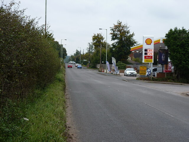
Although small in size, Bednall Head offers a range of amenities for its residents. There is a local pub, The Bednall Head Inn, which serves as a hub for social gatherings and community events. Additionally, the village is within close proximity to larger towns such as Stafford, providing access to a wider range of services, including shops, schools, and healthcare facilities.

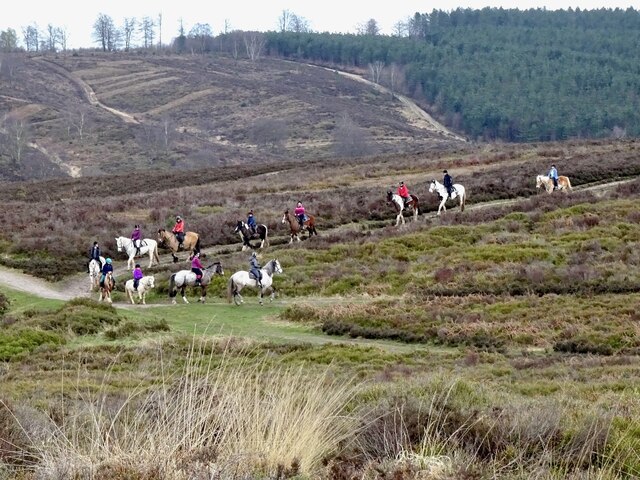
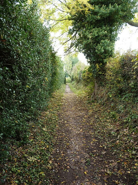
The surrounding countryside offers ample opportunities for outdoor activities, with numerous walking and cycling routes that showcase the area's natural beauty. Bednall Head is also well-connected to the wider region, with good transport links to nearby towns and cities, including regular bus services and easy access to major road networks.

In summary, Bednall Head is a charming village in Staffordshire, offering a peaceful and rural lifestyle, while still being conveniently located near larger towns. Its beautiful countryside and friendly community make it an attractive place to live for those seeking a slower pace of life.

If you have any feedback on the listing, please let us know in the comments section below.
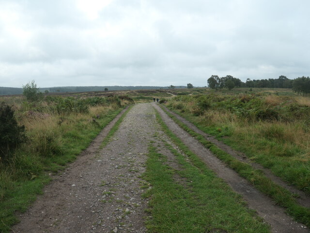
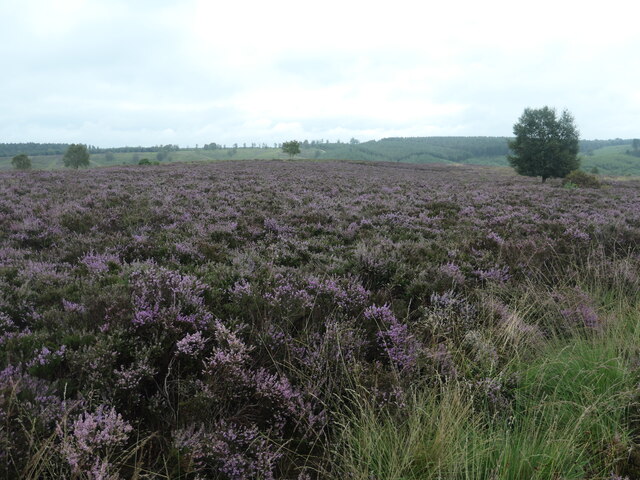
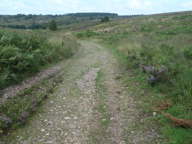
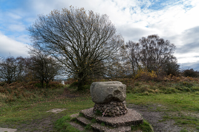
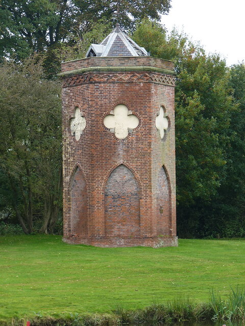
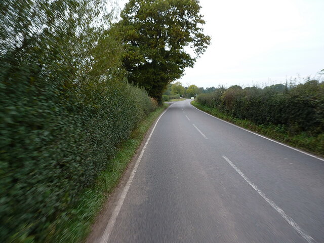
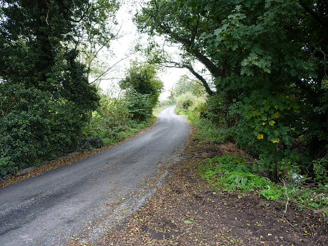
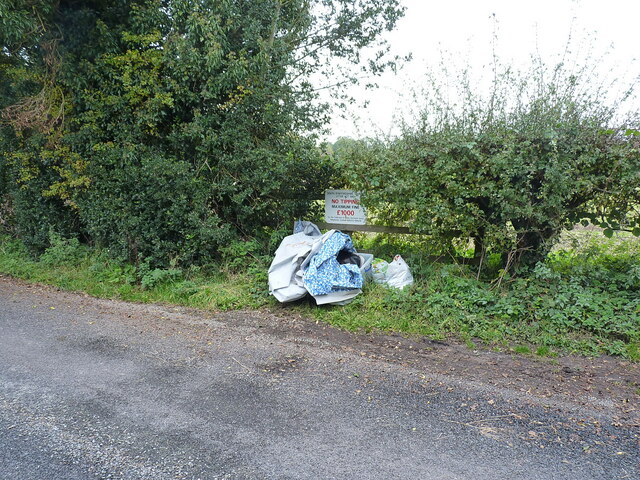
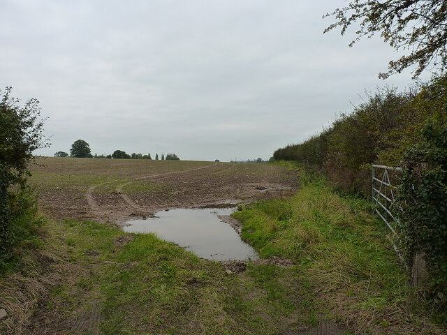
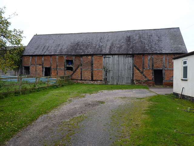
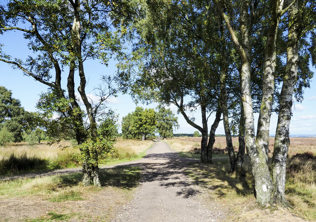
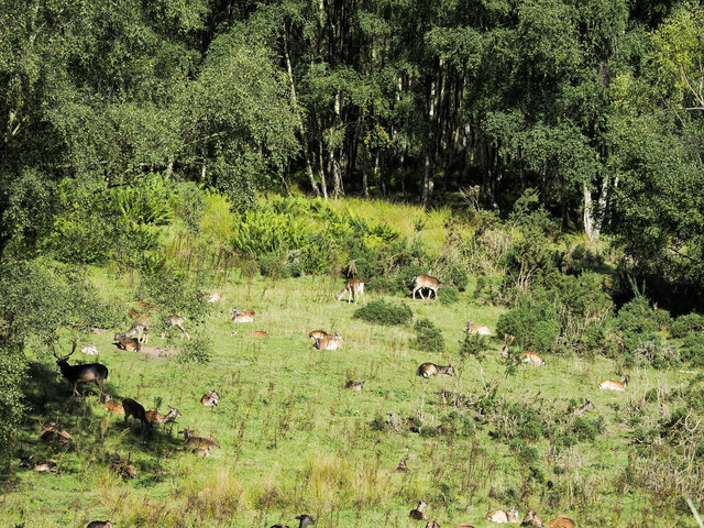
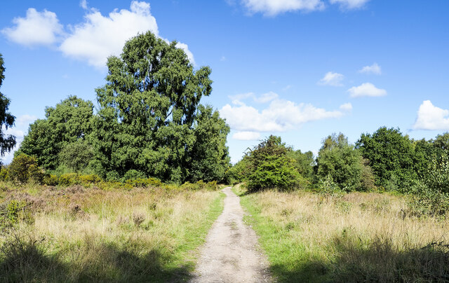
Bednall Head Images

Images are sourced within 2km of 52.756874/-2.053311 or Grid Reference SJ9617. Thanks to Geograph Open Source API. All images are credited.

'Turn right along the track' The Heart of England Way at Brocton Field, Cannock Chase. The quote comes from Staffordshire County Council's 'Cannock Chase Circular Walk'.
'Turn right along the track'
The Heart of England Way at Brocton Field, Cannock Chase. The quote comes from Staffordshire County Council's 'Cannock Chase Circular Walk'.
Flowering heather, Cannock Chase The heathland west of Sher Brook.
Flowering heather, Cannock Chase
The heathland west of Sher Brook.
Staffordshire Way, Cannock Chase Descending Sherbrook Banks.
Staffordshire Way, Cannock Chase
Descending Sherbrook Banks.
Glacial Boulder and Trigpoint, Cannock Chase Set upon a pedestal of Triassic pebbles, the boulder is of Granite which is out of place here on the Moorlands of South Staffordshire, there being no granite outcrops anywhere in the Midlands. The boulder has been matched however, to the intrusive rock outcrop at Cniffel in Dumfries & Galloway, which is over 170 miles (280km) away from the Chase in the Southern Uplands of Scotland. This granite 'erratic' is marked on the OS map as the "Glacial Boulder", which gives some idea how it got here. The boulder was ripped from its parent mountain sometime during the last Ice-Age, and was transported by glacial action to its present location, the journey perhaps taking ten-thousand years during which the edges of the rock were worn down, giving its present rounded appearance.
Glacial Boulder and Trigpoint, Cannock Chase
Set upon a pedestal of Triassic pebbles, the boulder is of Granite which is out of place here on the Moorlands of South Staffordshire, there being no granite outcrops anywhere in the Midlands. The boulder has been matched however, to the intrusive rock outcrop at Cniffel in Dumfries & Galloway, which is over 170 miles (280km) away from the Chase in the Southern Uplands of Scotland. This granite 'erratic' is marked on the OS map as the "Glacial Boulder", which gives some idea how it got here. The boulder was ripped from its parent mountain sometime during the last Ice-Age, and was transported by glacial action to its present location, the journey perhaps taking ten-thousand years during which the edges of the rock were worn down, giving its present rounded appearance.
Horse riding on Sherbrook Banks
Southern end of the bridleway The track from Walton on the Hill, which runs in a generally southeasterly direction, emerges here onto Sawpit Lane at Brocton.
Southern end of the bridleway
The track from Walton on the Hill, which runs in a generally southeasterly direction, emerges here onto Sawpit Lane at Brocton.
Dovecot at Brocton Hall In the grounds of Brocton Hall, which is now the golf club, this 18th century former dovecot was Grade II listed <span class="nowrap"><a title="https://britishlistedbuildings.co.uk/101116692-dovecote-at-brocton-hall-brocton#.Yle9wOjMI2w" rel="nofollow ugc noopener" href="https://britishlistedbuildings.co.uk/101116692-dovecote-at-brocton-hall-brocton#.Yle9wOjMI2w">Link</a><img style="margin-left:2px;" alt="External link" title="External link - shift click to open in new window" src="https://s1.geograph.org.uk/img/external.png" width="10" height="10"/></span> & <span class="nowrap"><a title="https://historicengland.org.uk/listing/the-list/list-entry/1116692" rel="nofollow ugc noopener" href="https://historicengland.org.uk/listing/the-list/list-entry/1116692">Link</a><img style="margin-left:2px;" alt="External link" title="External link - shift click to open in new window" src="https://s1.geograph.org.uk/img/external.png" width="10" height="10"/></span> in 1968.
Dovecot at Brocton Hall
In the grounds of Brocton Hall, which is now the golf club, this 18th century former dovecot was Grade II listed LinkExternal link & LinkExternal link in 1968.
Filling station on the Cannock Road, A34, at Newtown Petrol at this point in time was for sale at £1.239 per litre, with diesel a few pence more than that.
Filling station on the Cannock Road, A34, at Newtown
Petrol at this point in time was for sale at £1.239 per litre, with diesel a few pence more than that.
Along Teddesley Road near Newtown
Narrow lane east of Acton Trussell The fly-tipped furniture <a href="https://www.geograph.org.uk/photo/2805943">SJ9418 : Discarded furniture by a country lane</a> that was here on Acton Hall Lane some years ago has been removed.
Narrow lane east of Acton Trussell
The fly-tipped furniture SJ9418 : Discarded furniture by a country lane that was here on Acton Hall Lane some years ago has been removed.
Some people clearly can't read Or they genuinely do not give a monkey's about anyone else, or the state of the countryside around them. This sort of inexcusable behaviour warrants the return of capital punishment, in my book.
Some people clearly can't read
Or they genuinely do not give a monkey's about anyone else, or the state of the countryside around them. This sort of inexcusable behaviour warrants the return of capital punishment, in my book.
Field and hedgerow near Acton Hall Lane
Timber-framed barn at Lower Farm Described in its 1986 Grade II listing <span class="nowrap"><a title="https://britishlistedbuildings.co.uk/101039249-barn-incorporating-cowhouse-approximately-5-yards-north-of-lower-farmhouse-acton-trussell-and-bednall#.Ymo90drMI2w" rel="nofollow ugc noopener" href="https://britishlistedbuildings.co.uk/101039249-barn-incorporating-cowhouse-approximately-5-yards-north-of-lower-farmhouse-acton-trussell-and-bednall#.Ymo90drMI2w">Link</a><img style="margin-left:2px;" alt="External link" title="External link - shift click to open in new window" src="https://s1.geograph.org.uk/img/external.png" width="10" height="10"/></span> & <span class="nowrap"><a title="https://historicengland.org.uk/listing/the-list/list-entry/1039249" rel="nofollow ugc noopener" href="https://historicengland.org.uk/listing/the-list/list-entry/1039249">Link</a><img style="margin-left:2px;" alt="External link" title="External link - shift click to open in new window" src="https://s1.geograph.org.uk/img/external.png" width="10" height="10"/></span> as "Early 18th century", this building is still in agricultural use. It has a cowhouse at the left end, and a threshing room to the right of the full-height doorway.
Timber-framed barn at Lower Farm
Described in its 1986 Grade II listing LinkExternal link & LinkExternal link as "Early 18th century", this building is still in agricultural use. It has a cowhouse at the left end, and a threshing room to the right of the full-height doorway.
Freda's Grave, Brockton, Cannock Chase A marble memorial for the mascot of the New Zealand Rifle Brigade, Freda was a Harlequin Great Dane dog who died on Cannock Chase in 1918.  

The Grave was replaced in 1964 after being vandalised and again in 2001.
Freda's Grave, Brockton, Cannock Chase
A marble memorial for the mascot of the New Zealand Rifle Brigade, Freda was a Harlequin Great Dane dog who died on Cannock Chase in 1918. The Grave was replaced in 1964 after being vandalised and again in 2001.
Path over Brocton Field The path is heading north-north-west. Only at larger scales of OS mapping does the name Brocton Field appear quite at this location; at smaller scales the name appears rather to the south. The location is close to a trig point and to an erratic boulder which is mounted on a plinth of smaller rocks.
Path over Brocton Field
The path is heading north-north-west. Only at larger scales of OS mapping does the name Brocton Field appear quite at this location; at smaller scales the name appears rather to the south. The location is close to a trig point and to an erratic boulder which is mounted on a plinth of smaller rocks.
Road crossing Brocton Field A road heading north over an area of Cannock Chase known as Brocton Field.
Road crossing Brocton Field
A road heading north over an area of Cannock Chase known as Brocton Field.
Fallow deer in hollow of old quarry There are around fifty deer in the image in open ground close to the village of Brocton on Cannock Chase. Maps indicate a quarry face of unknown height beyond the animals, screened by the woodland.
Fallow deer in hollow of old quarry
There are around fifty deer in the image in open ground close to the village of Brocton on Cannock Chase. Maps indicate a quarry face of unknown height beyond the animals, screened by the woodland.
Deciduous trees near to Chase Road Corner The path is a bridleway, also part of the Heart of England Way. Here, it's heading north over the Brocton Field area of Cannock Chase towards Chase Road Corner.
Deciduous trees near to Chase Road Corner
The path is a bridleway, also part of the Heart of England Way. Here, it's heading north over the Brocton Field area of Cannock Chase towards Chase Road Corner.
Show me another place!

Bednall Head is located at Grid Ref: SJ9617 (Lat: 52.756874, Lng: -2.053311)

Administrative County: Staffordshire

District: South Staffordshire

Police Authority: Staffordshire

What 3 Words

///tint.sobbed.comforted. Near Penkridge, Staffordshire

Nearby Locations

Bednall Head Slade

Related Wikis

Bednall

Bednall is a village in Staffordshire, England. == Location == Bednall lies somewhat remote from main roads, in dairy-farming countryside some 2.5 miles...

Brocton, Staffordshire

Brocton is a village and civil parish in the English county of Staffordshire. It is within the borough of Stafford. The village describes itself as the...

Acton Trussell and Bednall

Acton Trussell and Bednall is a civil parish in the South Staffordshire district of Staffordshire, England. As the name indicates, it contains the two...

Teddesley Hall

Teddesley Hall was a large Georgian English country house located close to Penkridge in Staffordshire, now demolished. It was the main seat firstly of...

Cannock Chase German Military Cemetery

The Cannock Chase German Military Cemetery (grid reference SJ984157) is on Cannock Chase, Staffordshire, England. The cemetery contains nearly 5,000 burials...

Acton Trussell

Acton Trussell is a village in the English county of Staffordshire. It is known as Actone in the Domesday Book. Located around 4 miles southeast of Stafford...

Walton-on-the-Hill, Staffordshire

Walton-on-the-Hill is a village in the Borough of Stafford in Staffordshire, England. It is about 5 km east of the centre of Stafford, and lies on the...

Walton High School, Stafford

Walton High School is a large mixed secondary school and sixth form serving a community in the southern part of Stafford, England.There are approximately...

Related Videos

Teddesley Lock to Gypsey Green Staffordshire Walking Tolkien's Real Shire Narrated Marie Ascot

Marie Ascot A walk through Tolkien's Real Shire from Teddesley Lock to Gypsey Green Staffordshire. This was an hour's walk with ...

Sherbrook Valley & the Rag at Rawnsley. #travel #motorhome #travel_vlog #adventuresB4Dementia

A walk down memory lane for Sue as we walk through Sherbrook valley on Cannock Chase. Sue has fond memories of family ...

BEAUTIFUL Cannock Chase Walk (With The Ravengirl) #vanlife

I decide to go on a beautiful Cannock Chase walk (officially called Cannock Chase Area of Natural Beauty) to show the Ravengirl ...

BOAT TOUR | Towpath Jungle and a Canal side CHIP FEAST

I meet a lovely couple who have just had a new Narrowboat built by Bourne Boat Builders and they invite me inside for a full BOAT ...

Nearby Amenities

Located within 500m of 52.756874,-2.053311
Bus Stop
Common Lane
Bus: yes
Naptan AtcoCode: 3800C605501
Naptan Bearing: N
Naptan CommonName: Common Lane
Naptan Indicator: Adj
Naptan Landmark: Common Lane
Naptan Street: Stafford Road
Naptan Verified: no
Public Transport: platform
Source: naptan_import
Lat/Long: 52.7548037/-2.0526596
Bus Stop
Common Lane
Bus: yes
Naptan AtcoCode: 3800C605502
Naptan Bearing: S
Naptan CommonName: Common Lane
Naptan Indicator: Opp
Naptan Landmark: Common Lane
Naptan Street: Stafford Road
Naptan Verified: no
Public Transport: platform
Source: naptan_import
Lat/Long: 52.7548757/-2.0524078
Bus Stop
Joyce's Lane
Bus: yes
Naptan AtcoCode: 3800C693101
Naptan Bearing: S
Naptan CommonName: Joyce's Lane
Naptan Indicator: Opp
Naptan Landmark: Joyce's Lane
Naptan Street: Stafford Road
Naptan Verified: no
Public Transport: platform
Source: naptan_import
Lat/Long: 52.7590201/-2.0520423
Bus Stop
Joyce's Lane
Bus: yes
Naptan AtcoCode: 3800C693102
Naptan Bearing: N
Naptan BusStopType: CUS
Naptan CommonName: Joyce's Lane
Naptan Indicator: Adj
Naptan Landmark: Joyce's Lane
Naptan Street: Stafford Road
Naptan Verified: no
Public Transport: platform
Source: naptan_import
Lat/Long: 52.7586784/-2.052279
Barrier: stile
Steps: 1
Stile: stepover
Lat/Long: 52.7599362/-2.0559243
Barrier: stile
Steps: 1
Stile: stepover
Lat/Long: 52.7593862/-2.059258
The data included in this document is from www.openstreetmap.org. The data is made available under ODbL.

Have you been to Bednall Head?

Leave your review of Bednall Head below (or comments, questions and feedback).