Slade
Valley in Staffordshire South Staffordshire
England
Slade
Slade, Staffordshire (Valley) is a picturesque village located in the Staffordshire Moorlands district of England. Situated on the eastern edge of the Peak District National Park, Slade is surrounded by stunning natural landscapes and offers a tranquil setting for residents and visitors alike.
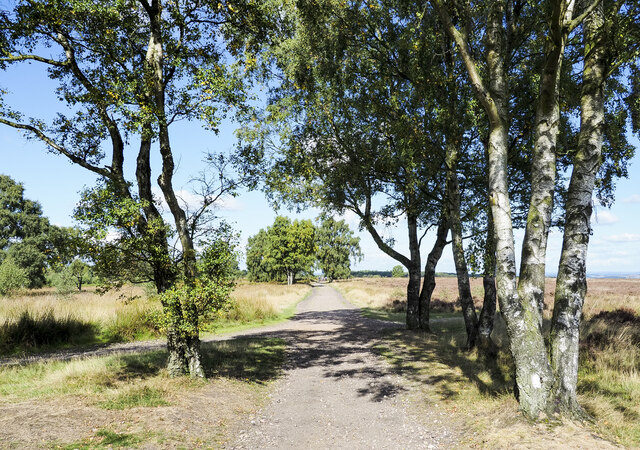
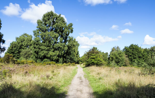
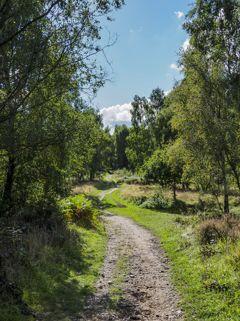
The village is known for its idyllic valley, which is traversed by the River Churnet. The river meanders through the valley, creating a beautiful backdrop of rolling hills and dense woodlands. The area is a haven for outdoor enthusiasts, with numerous walking trails, cycling routes, and fishing spots to explore.
One of the main attractions in Slade is the Churnet Valley Railway. The heritage railway line runs through the village, offering visitors the opportunity to experience a nostalgic journey on a steam train. The railway station in Slade is a charming stopover, with a traditional ticket office and well-preserved platforms.
Despite its rural setting, Slade is not lacking in amenities. The village has a primary school, a post office, and a local pub that serves as a social hub for the community. The nearby towns of Leek and Cheadle provide additional facilities, including supermarkets, shops, and secondary schools.
Slade's close proximity to the Peak District National Park makes it an ideal base for exploring the wider region. The park offers a wealth of outdoor activities, including hiking, rock climbing, and cycling. There are also several historic attractions nearby, such as the stately homes of Chatsworth House and Haddon Hall.
Overall, Slade, Staffordshire (Valley) is a charming village that combines natural beauty with a close-knit community. It offers a peaceful retreat for those seeking a rural escape, while still providing access to essential amenities and nearby attractions.
If you have any feedback on the listing, please let us know in the comments section below.
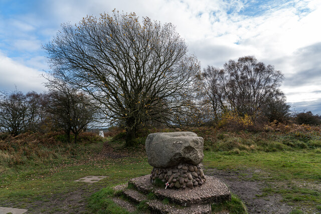
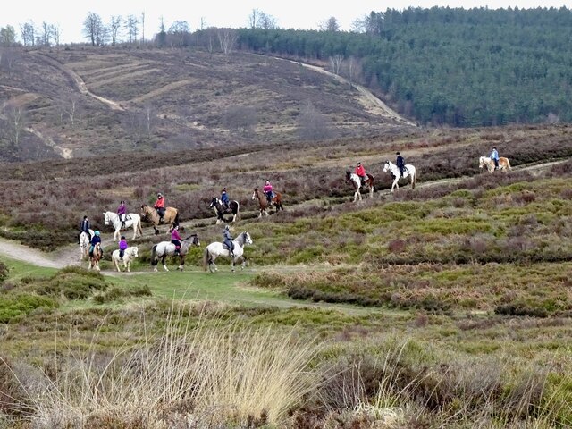
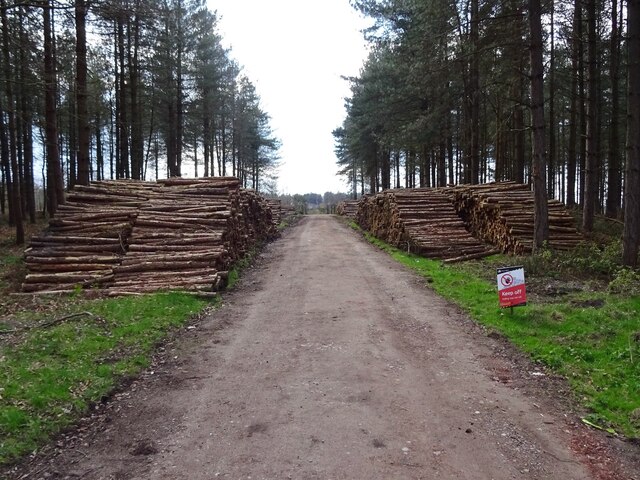
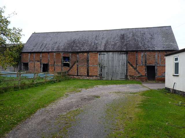
Slade Images
Images are sourced within 2km of 52.751596/-2.0482561 or Grid Reference SJ9617. Thanks to Geograph Open Source API. All images are credited.


Slade is located at Grid Ref: SJ9617 (Lat: 52.751596, Lng: -2.0482561)
Administrative County: Staffordshire
District: South Staffordshire
Police Authority: Staffordshire
What 3 Words
///comical.fewest.width. Near Penkridge, Staffordshire
Nearby Locations
Related Wikis

Bednall
Bednall is a village in Staffordshire, England. == Location == Bednall lies somewhat remote from main roads, in dairy-farming countryside some 2.5 miles...

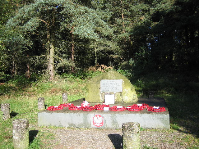
Cannock Chase German Military Cemetery
The Cannock Chase German Military Cemetery (grid reference SJ984157) is on Cannock Chase, Staffordshire, England. The cemetery contains nearly 5,000 burials...

Acton Trussell and Bednall
Acton Trussell and Bednall is a civil parish in the South Staffordshire district of Staffordshire, England. As the name indicates, it contains the two...

Brocton, Staffordshire
Brocton is a village and civil parish in the English county of Staffordshire. It is within the borough of Stafford. The village describes itself as the...
Nearby Amenities
Located within 500m of 52.751596,-2.0482561Have you been to Slade?
Leave your review of Slade below (or comments, questions and feedback).