Acol
Civil Parish in Kent Thanet
England
Acol

Acol is a civil parish located in the county of Kent, in southeastern England. It is situated about 8 miles north of the coastal town of Margate and approximately 16 miles northeast of the city of Canterbury. Covering an area of around 6 square miles, Acol is a rural parish characterized by its picturesque countryside and charming village atmosphere.
The village of Acol itself is small, with a population of just over 400 residents according to the latest census data. It is known for its historic buildings and traditional architecture, including several Grade II listed buildings such as Acol Court and Acol Farmhouse. The village also features a lovely 12th-century church, St. Mildred's, which is a prominent landmark in the area.
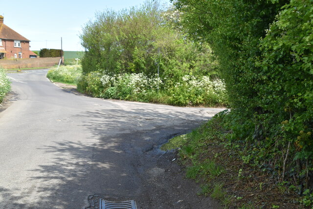
The surrounding countryside of Acol is predominantly agricultural, with rolling hills and fields stretching out as far as the eye can see. This makes the parish an ideal location for those seeking a peaceful and idyllic rural lifestyle. The area is also popular with walkers and nature enthusiasts, as it offers stunning views and a variety of flora and fauna.
Despite its small size, Acol has a strong sense of community, with various local events and activities organized throughout the year. The village has a primary school, a village hall, and a pub, which serves as a hub for socializing and gathering. Additionally, Acol is well-connected to nearby towns and cities via road and public transport, allowing residents easy access to amenities and services.
In conclusion, Acol in Kent is a charming civil parish characterized by its rural beauty, historic architecture, and strong community spirit. It offers a tranquil and picturesque setting for those seeking a quiet countryside lifestyle.
If you have any feedback on the listing, please let us know in the comments section below.
Acol Images
Images are sourced within 2km of 51.35702/1.318649 or Grid Reference TR3167. Thanks to Geograph Open Source API. All images are credited.


Acol is located at Grid Ref: TR3167 (Lat: 51.35702, Lng: 1.318649)
Administrative County: Kent
District: Thanet
Police Authority: Kent
What 3 Words
///trumpet.families.sunflower. Near Birchington-on-Sea, Kent
Nearby Locations
Related Wikis

Acol, Kent
Acol (formerly Acholt) is a hamlet and civil parish in the Thanet District of Kent, England, about 1.5 miles (2.4 km) south of Birchington. It is one of...

Quex Park
Quex Park itself is 250 acres (1.0 km2) of parkland and gardens plus a further 1500 acres of farmed land, with Quex House and other buildings situated...

Powell-Cotton Museum
The Powell-Cotton Museum is situated in Quex Park, Birchington, Kent and houses the diverse personal collections of hunter and explorer Percy Powell-Cotton...

Brooks End
Brooks End is a hamlet assimilated with Birchington, in Kent, England, and 1 mile (2 km) southwest of the village's centre. It is in the Thanet local government...
King Ethelbert School
King Ethelbert School is a mixed secondary school located in Birchington-on-Sea, Kent, England. A wide variety of subjects are available at GCSE level...
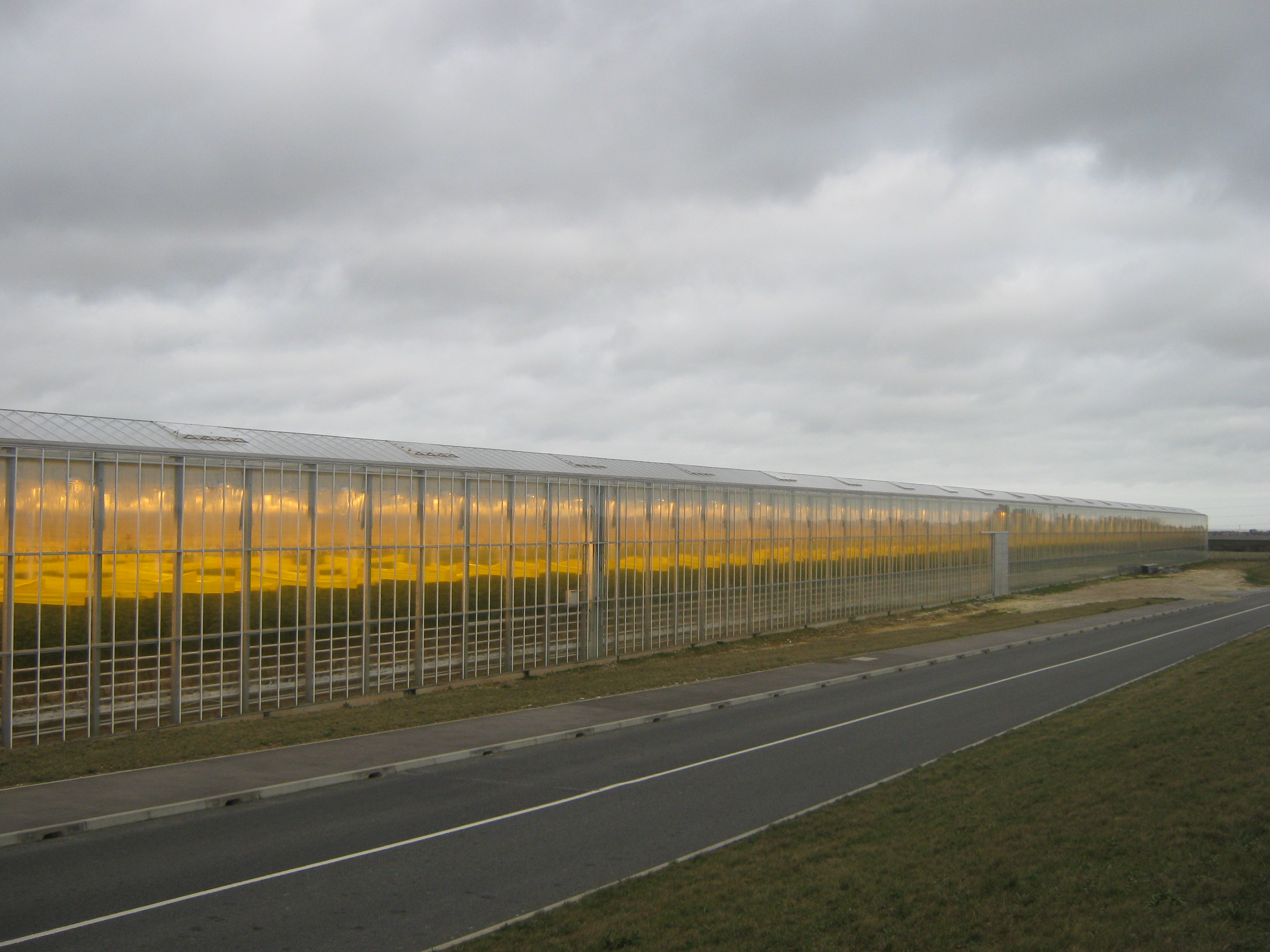
Thanet Earth
Thanet Earth is a large industrial agriculture and plant factory project consortium on the Isle of Thanet in Kent, England. It is the largest greenhouse...
Ursuline College, Westgate-on-Sea
Ursuline College (formerly Ursuline Convent School) is a Catholic comprehensive secondary school with academy status, located in Westgate-on-Sea, in north...

Defence Fire Training and Development Centre
The Defence Fire Training and Development Centre (DFTDC, formerly FSCTE Manston) was the site of the Ministry of Defence's firefighter training. It occupied...
Related Videos

Minnis Bay & Birchington on Sea, a Walking History Tour Guide Using Postcards Kent UK
Minnis Bay & Birchington on Sea, Kent, UK, A walking history tour guide using old postcards. Would really appreciate it if you ...


Nearby Amenities
Located within 500m of 51.35702,1.318649Have you been to Acol?
Leave your review of Acol below (or comments, questions and feedback).