Acle
Civil Parish in Norfolk Broadland
England
Acle

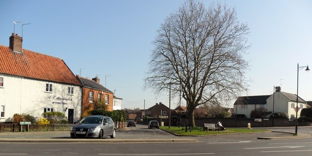
Acle is a civil parish located in the English county of Norfolk. Situated on the edge of the Norfolk Broads, it lies approximately 12 miles east of the city of Norwich. The village is positioned at the eastern end of the A47 trunk road, making it easily accessible to visitors and residents alike.
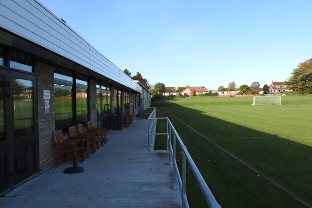
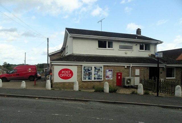
Acle has a population of around 3,000 people and is a vibrant and bustling community. The village offers a range of amenities and services, including several shops, pubs, and restaurants. There is a primary school within the parish, providing education for local children.
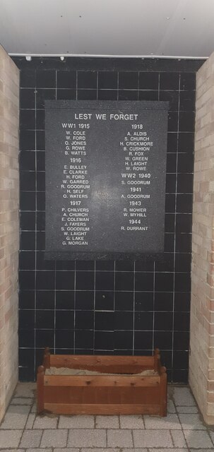
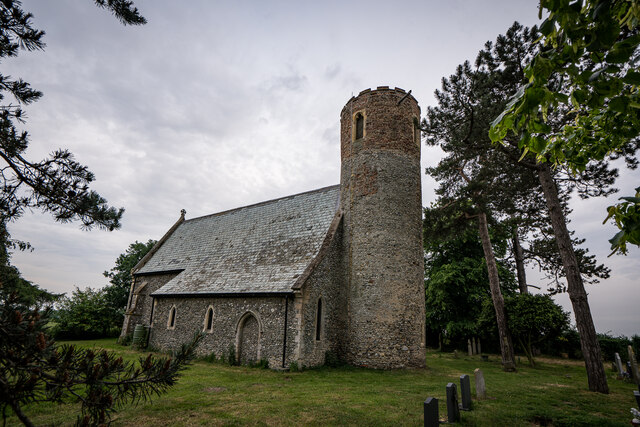
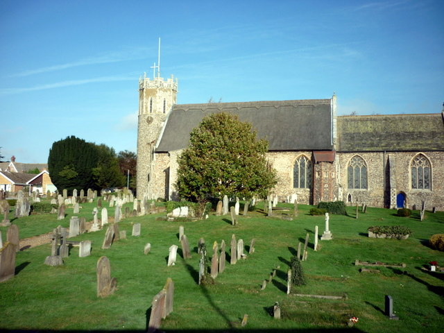
One of the notable landmarks in Acle is its medieval church, St Edmund's Church, which dates back to the 13th century. The church is known for its impressive tower, which offers panoramic views of the surrounding area.
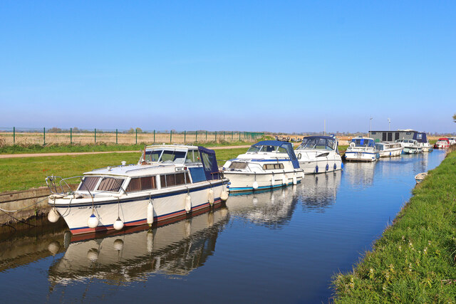
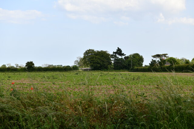
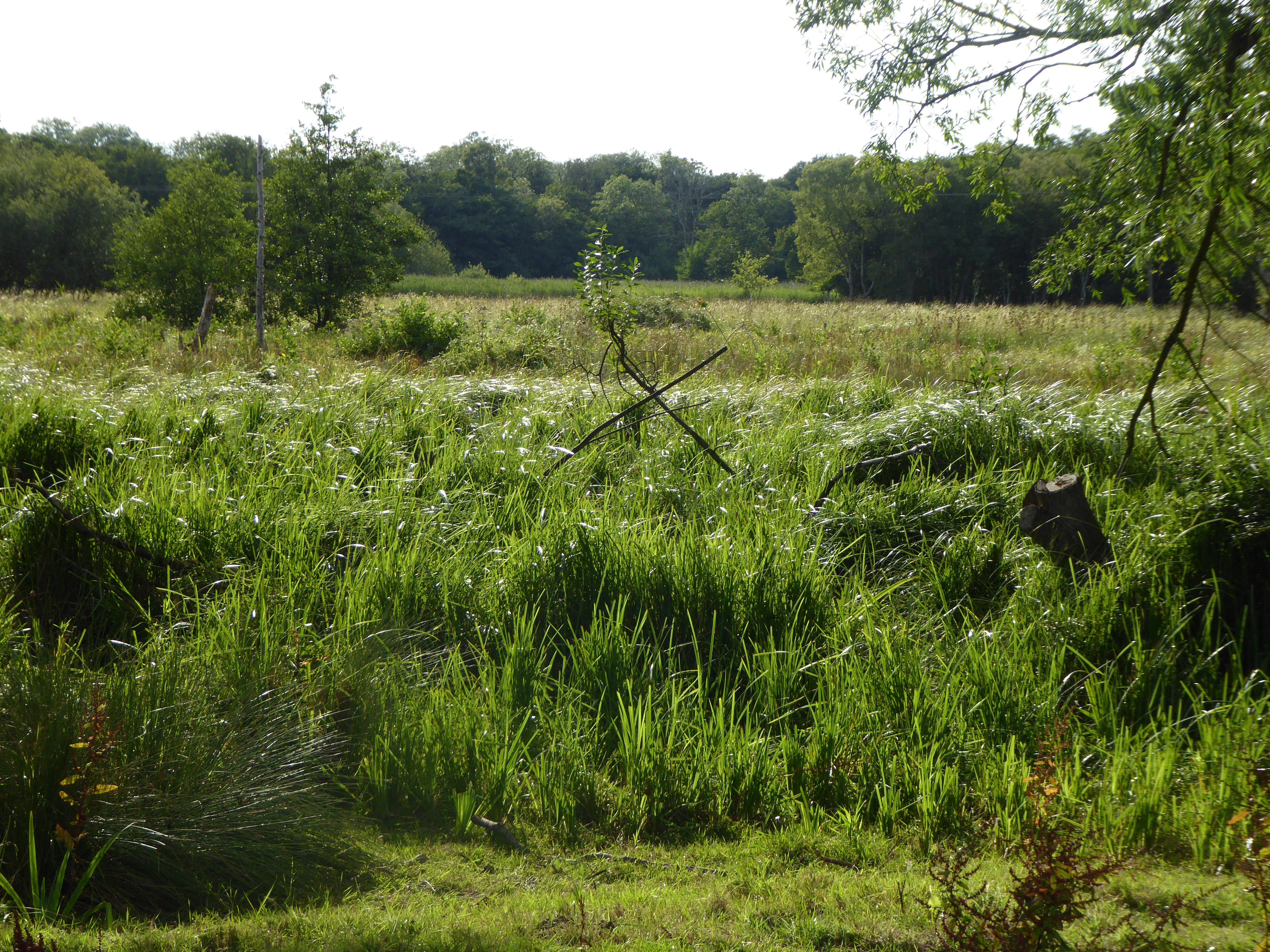
The village is popular with visitors due to its proximity to the Norfolk Broads, a network of rivers and lakes renowned for its natural beauty and wildlife. The Broads provide opportunities for boating, fishing, and birdwatching, attracting tourists from all over the country.
Acle is well-connected to surrounding areas, with regular bus services to Norwich and Great Yarmouth. The village also benefits from its own train station, providing links to Norwich, Great Yarmouth, and Lowestoft.
Overall, Acle offers a picturesque setting, a strong community spirit, and easy access to the stunning Norfolk Broads, making it an attractive place to live or visit.
If you have any feedback on the listing, please let us know in the comments section below.
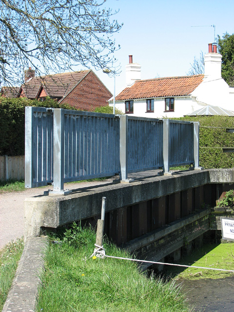
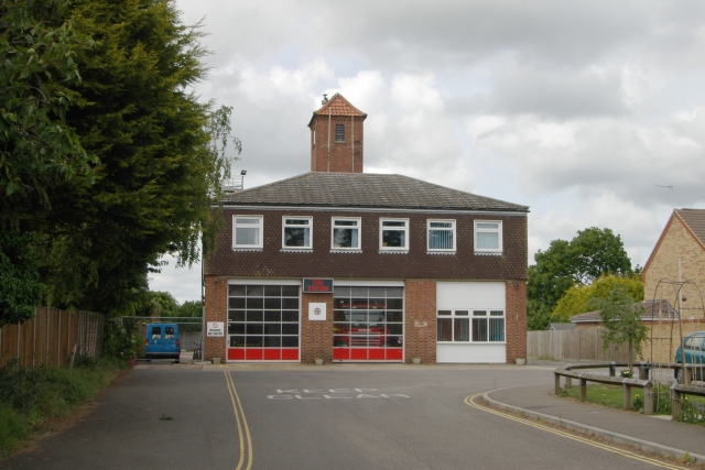
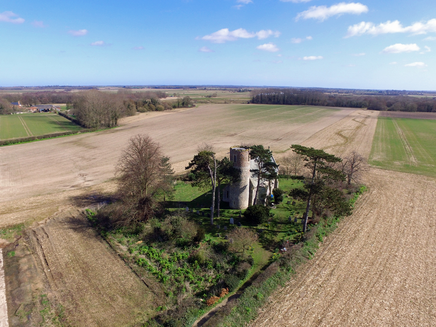
Acle Images
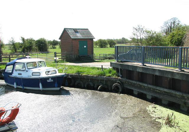
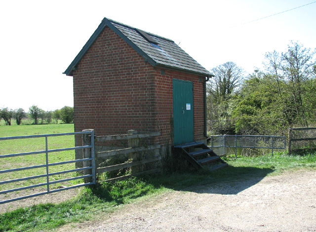
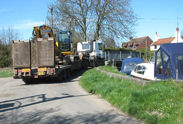
Images are sourced within 2km of 52.635524/1.537749 or Grid Reference TG3910. Thanks to Geograph Open Source API. All images are credited.
Acle is located at Grid Ref: TG3910 (Lat: 52.635524, Lng: 1.537749)
Administrative County: Norfolk
District: Broadland
Police Authority: Norfolk
What 3 Words
///download.basic.culling. Near Acle, Norfolk
Nearby Locations
Related Wikis
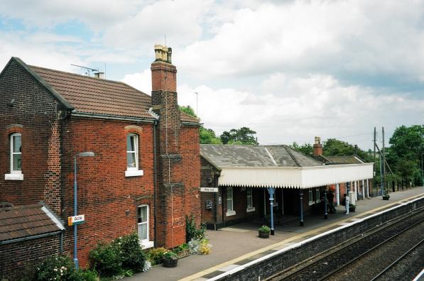
Acle railway station
Acle railway station is on the Wherry Lines in the east of England, serving the town of Acle, Norfolk. It is 10 miles 34 chains (16.8 km) down the line...

Acle Academy
The Acle Academy, formerly known as Acle High School, is a secondary school which is located in Acle, Norfolk, England. This is in the centre of the Norfolk...

Blofield and Flegg Rural District
Blofield and East and West Flegg Rural Districts were adjacent rural districts in Norfolk, England from 1894 to 1935.They were formed under the Local Government...
Acle
Acle ( AY-kəl) is a market town on the River Bure on the Norfolk Broads in Norfolk, located halfway between Norwich and Great Yarmouth. It has the only...
Fishley
Fishley is a village in the English county of Norfolk, forming part of the civil parish of Upton with Fishley. The village is located 0.5 miles (0.80 km...
Decoy Carr, Acle
Decoy Carr, Acle is a 56-hectare (140-acre) biological Site of Special Scientific Interest south of Acle in Norfolk. It is part of the Broadland Ramsar...

Damgate Marshes, Acle
Damgate Marshes, Acle is a 64.7-hectare (160-acre) biological Site of Special Scientific Interest between Norwich and Great Yarmouth in Norfolk. It is...
Upton with Fishley
Upton with Fishley is a civil parish in the English county of Norfolk, consisting of the former parishes of Upton and Fishley. It covers an area of 8.93...
Nearby Amenities
Located within 500m of 52.635524,1.537749Have you been to Acle?
Leave your review of Acle below (or comments, questions and feedback).