Acomb

Civil Parish in Northumberland

England

Acomb

The Church of St. John of Beverley, St. John Lee
The Church of St. John of Beverley, St. John Lee Credit: Bill Henderson

Acomb is a civil parish located in the county of Northumberland, England. Situated approximately 20 miles west of the city of Newcastle upon Tyne, Acomb is a small village with a population of around 1,500 residents. The parish is part of the district of Tynedale and is nestled in the picturesque Tyne Valley.

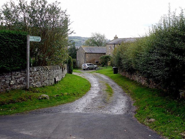
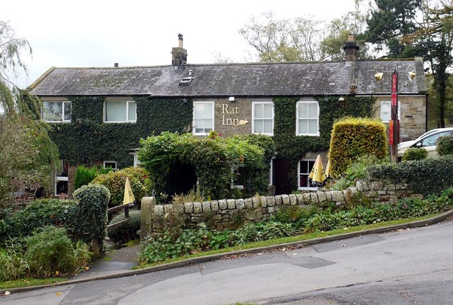
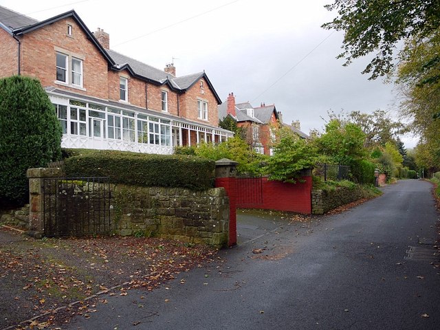
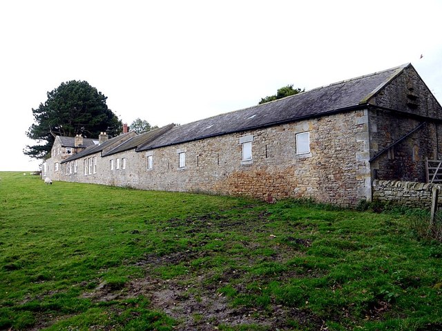
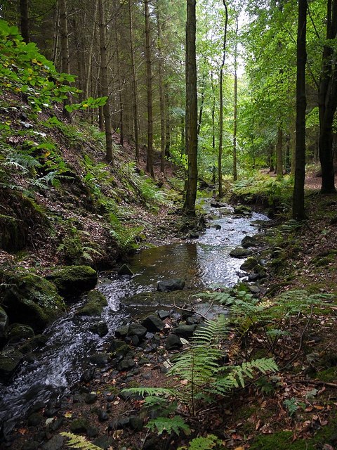
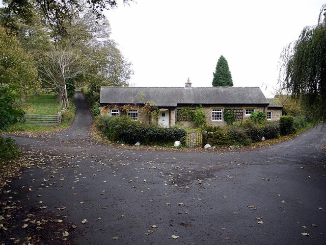
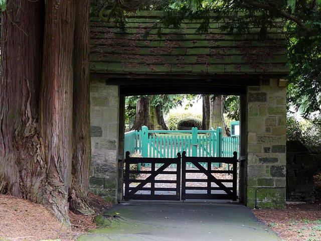
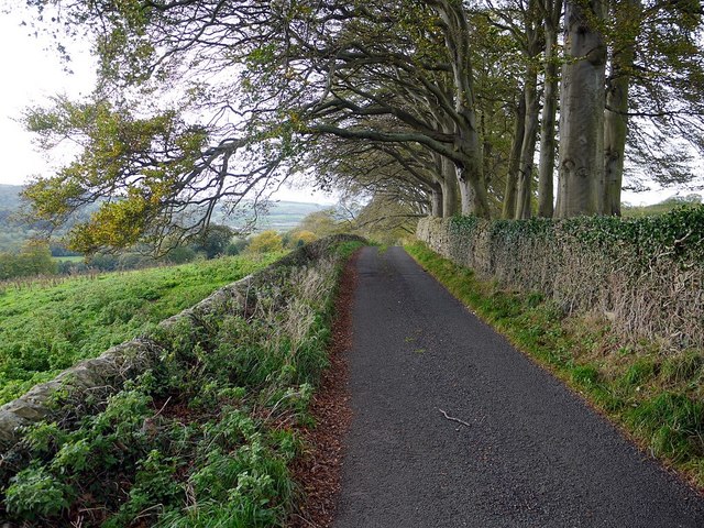
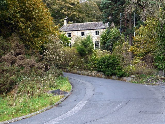
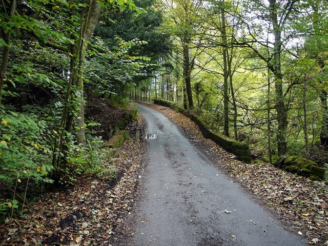
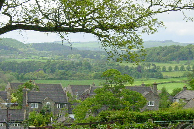
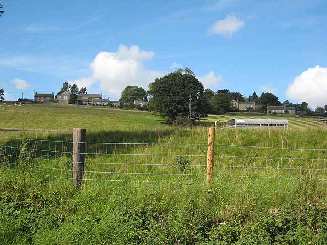
Acomb is known for its beautiful countryside, with rolling hills and stunning landscapes that attract visitors throughout the year. The village itself is quaint and charming, with traditional stone-built houses and a sense of rural tranquility. The architectural style of the buildings reflects the rich history of the area, with some structures dating back to the 17th century.

The village provides essential amenities to its residents, including a primary school, a village hall, and a local pub. The strong sense of community is evident in the various events and activities organized by the parish council and local organizations.

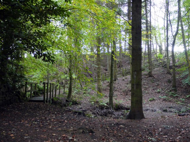
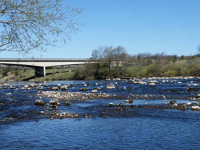
Surrounded by natural beauty, Acomb offers opportunities for outdoor activities such as walking, cycling, and fishing. The nearby River Tyne is a popular spot for anglers, and the surrounding countryside provides scenic trails for walkers and cyclists.

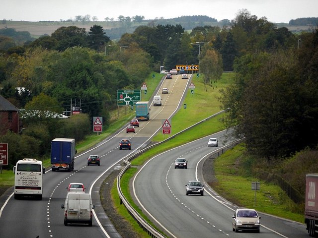
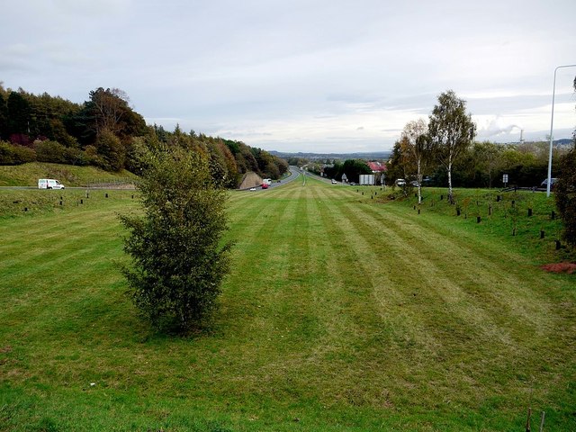
Acomb is well-connected by road, with the A69 passing through the parish. This provides easy access to nearby towns and cities, making it an attractive location for those who seek a peaceful rural lifestyle without being too far from urban amenities.

Overall, Acomb is a charming village with a rich history and stunning natural surroundings, making it an idyllic place to live or visit.

If you have any feedback on the listing, please let us know in the comments section below.
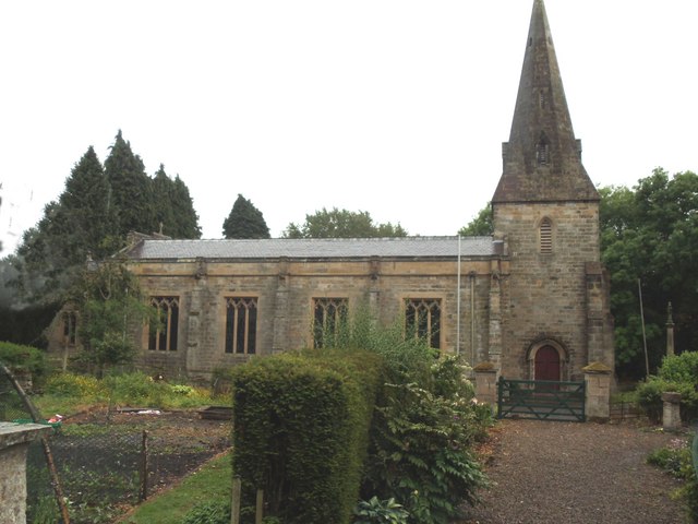
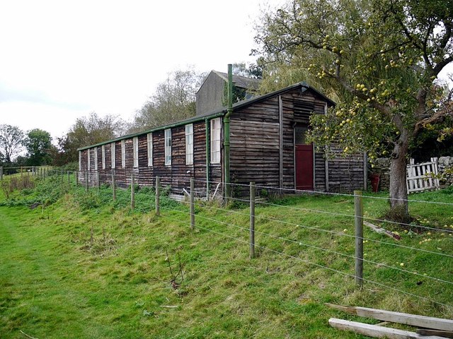
Acomb Images

Images are sourced within 2km of 54.996179/-2.095456 or Grid Reference NY9366. Thanks to Geograph Open Source API. All images are credited.

The Church of St. John of Beverley, St. John Lee
A69 approaching the Hexham roundabout
Track to Anick Farm and footpath to Hexham
Beaufront Women's Institute, Anick
The Rat Inn, Anick Originally a drovers inn built around 1750 but it is not recorded how the Rat Inn came by what must surely be one of the oddest names for an Inn in Britain. The locals offer several interesting theories: some say that it was a regular meeting place for all the local rat catchers; others say that the largest rat ever seen was caught here. Perhaps the most intriguing tale tells of the then ale keeper who gave information to the Crown during the Jacobite risings of 1715 and 1745 and thus became known as 'the Rat' <span class="nowrap"><a title="http://www.theratinn.com/" rel="nofollow ugc noopener" href="http://www.theratinn.com/">Link</a><img style="margin-left:2px;" alt="External link" title="External link - shift click to open in new window" src="https://s1.geograph.org.uk/img/external.png" width="10" height="10"/></span>
Received an 'Also Recommended' entry in the 2012 Good Food Guide <span class="nowrap"><a title="http://www.journallive.co.uk/north-east-taste/news-and-features/2011/09/16/north-pubs-fare-well-in-new-version-of-the-good-food-guide-61634-29429691/" rel="nofollow ugc noopener" href="http://www.journallive.co.uk/north-east-taste/news-and-features/2011/09/16/north-pubs-fare-well-in-new-version-of-the-good-food-guide-61634-29429691/">Link</a><img style="margin-left:2px;" alt="External link" title="External link - shift click to open in new window" src="https://s1.geograph.org.uk/img/external.png" width="10" height="10"/></span>
The sign above the door seems to have gone up-market too <a href="https://www.geograph.org.uk/photo/1463787">NY9565 : The Rat</a>
The Rat Inn, Anick
Originally a drovers inn built around 1750 but it is not recorded how the Rat Inn came by what must surely be one of the oddest names for an Inn in Britain. The locals offer several interesting theories: some say that it was a regular meeting place for all the local rat catchers; others say that the largest rat ever seen was caught here. Perhaps the most intriguing tale tells of the then ale keeper who gave information to the Crown during the Jacobite risings of 1715 and 1745 and thus became known as 'the Rat' LinkExternal link Received an 'Also Recommended' entry in the 2012 Good Food Guide LinkExternal link The sign above the door seems to have gone up-market too NY9565 : The Rat
Outbuildings at West Oakwood Taken from the footpath to Target Wood.
Outbuildings at West Oakwood
Taken from the footpath to Target Wood.
Target House
Target House
Footpath and footbridge, Target Wood
Birkey Burn, Target Wood
Road junction at Peasley Gates Five lanes meet near the cottage.
Road junction at Peasley Gates
Five lanes meet near the cottage.
Lych gate, St. John Lee Looking across the minor road to the green gates of the cemetery. The trunk of an old yew stands on the left side.
Lych gate, St. John Lee
Looking across the minor road to the green gates of the cemetery. The trunk of an old yew stands on the left side.
Numbered beech trees near Target House
Minor road near Target House
Bank Cottage near East Park
Central reservation on A69 east of Hexham roundabout
Beaufront Business Park, Ferry Road, Bridge End
Minor road crossing Birkey Burn, east of Target House
Show me another place!

Acomb is located at Grid Ref: NY9366 (Lat: 54.996179, Lng: -2.095456)

Unitary Authority: Northumberland

Police Authority: Northumbria

What 3 Words

///basket.firewall.prom. Near Acomb, Northumberland

Nearby Locations

Acomb Acomb

Related Wikis

Acomb, Northumberland

Acomb is a village in the south of Northumberland, England. The population at the 2001 Census was 1,184 increasing to 1,268 at the 2011 Census. It is situated...

Hexham Old Bridge

Hexham Old Bridge was an 18th-century stone bridge across the River Tyne at Hexham, Northumberland, England. It was located about 1 mile (2 km) upstream...

Hexham Bridge

Hexham Bridge is a road bridge in Northumberland, England linking Hexham with the North Tyne valley. It lies north of the town of Hexham and is the main...

Hexham Rowing Club

Hexham Rowing Club is a rowing club on the River Tyne, based at Tyne Green boathouse, Nr Hexham Bridge, Hexham, Northumberland. Rowers aged 12 and upwards...

Queen Elizabeth High School Rowing Club

Queen Elizabeth High School Rowing Club is a rowing club on the River Tyne, based at Tyne Green boathouse, Nr Hexham Bridge, Hexham, Northumberland....

Constantius Bridge

Constantius Bridge is a modern concrete bridge across the River Tyne about 1 mile (2 km) north west of Hexham, Northumberland, England. The bridge carries...

Anick

Anick ( AY-nik) is a village and former civil parish, now in the parish of Sandhoe, in Northumberland, England, situated to the north of Hexham. In 1881...

Warden, Northumberland

Warden is a village in Northumberland, England about 2 miles (3 km) west of Hexham. The North and South Tyne meet near the village of Warden. There is...

Nearby Amenities

Located within 500m of 54.996179,-2.095456
Power: pole
Lat/Long: 54.9958889/-2.0998813
Power: pole
Lat/Long: 54.9960701/-2.101213
Power: pole
Lat/Long: 54.9963832/-2.1004673
Power: pole
Lat/Long: 54.9969594/-2.1010226
Power: pole
Lat/Long: 54.9958306/-2.1022716
Power: pole
Lat/Long: 54.9951536/-2.102631
Power: pole
Lat/Long: 54.9932495/-2.1001835
Power: pole
Lat/Long: 54.9934876/-2.0976541
Power: pole
Lat/Long: 54.9947309/-2.0986144
Power: pole
Lat/Long: 54.9942354/-2.0977024
Power: pole
Lat/Long: 54.9939123/-2.0965544
Power: pole
Lat/Long: 54.9920512/-2.0938722
Power: pole
Lat/Long: 54.9926944/-2.0940332
Power: pole
Lat/Long: 54.9933003/-2.0941525
Power: pole
Lat/Long: 54.9936188/-2.0953086
The data included in this document is from www.openstreetmap.org. The data is made available under ODbL.

Have you been to Acomb?

Leave your review of Acomb below (or comments, questions and feedback).