Abbotts Ann
Civil Parish in Hampshire Test Valley
England
Abbotts Ann
Abbotts Ann is a civil parish located in the Test Valley district of Hampshire, England. It is situated approximately 2 miles south of Andover, a historic market town. The parish covers an area of around 2,000 acres and is bordered by picturesque countryside and farmland.
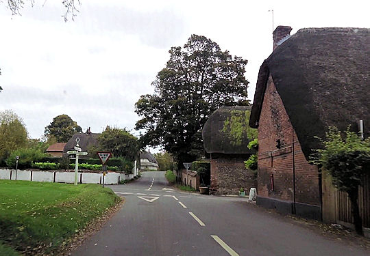
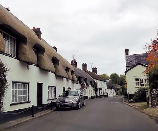
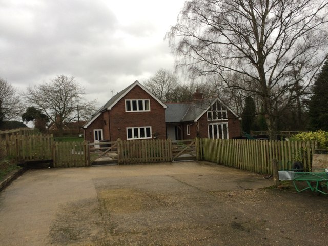
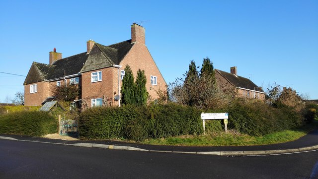
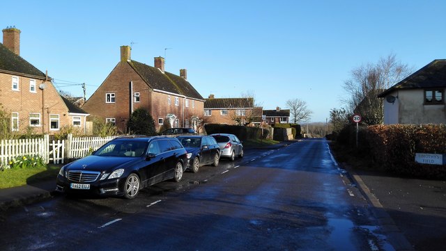
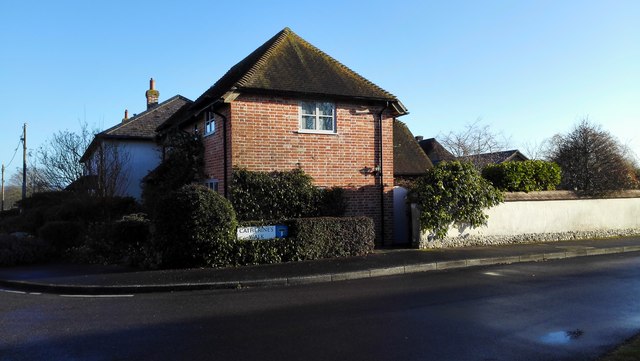
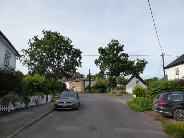
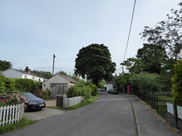
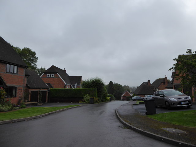
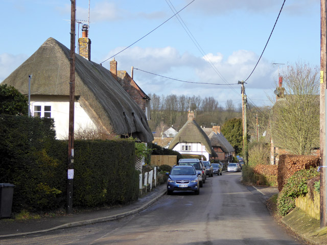
The village of Abbotts Ann is known for its charming rural character, with many traditional thatched cottages and period houses dotted along its winding lanes. It has a population of around 1,100 residents, making it a close-knit community. The village features a historic church, St Mary’s, which dates back to the 12th century and is a prominent landmark in the area.
Abbotts Ann has a strong sense of community spirit, with various local events and activities organized throughout the year. The village hall is a hub of social gatherings and hosts a range of clubs and societies. The primary school in Abbotts Ann provides education for children aged 4 to 11, ensuring a convenient and accessible facility for local families.
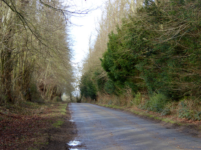
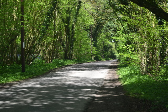
The surrounding countryside offers numerous opportunities for outdoor activities and exploration. There are several footpaths and bridleways that crisscross the area, allowing residents and visitors to enjoy scenic walks, cycling, and horse riding. The nearby Test Way, a long-distance footpath, offers stunning views and connects Abbotts Ann to other charming villages in the region.
Overall, Abbotts Ann is a quintessential English village with a rich history, a strong sense of community, and a beautiful rural setting. It provides a peaceful and idyllic place to live, away from the hustle and bustle of urban life.
If you have any feedback on the listing, please let us know in the comments section below.
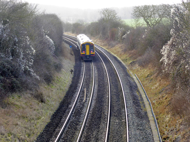
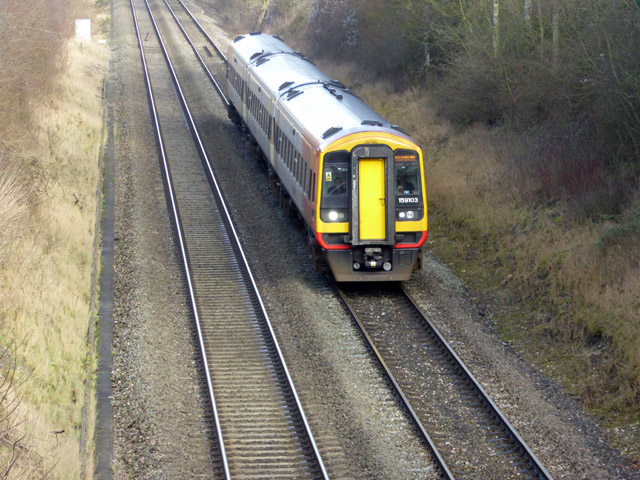
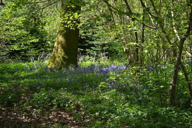
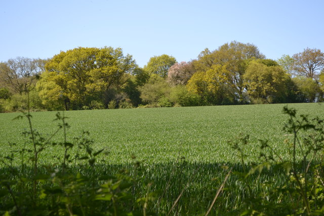
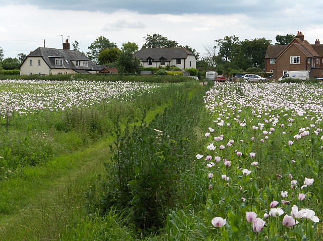
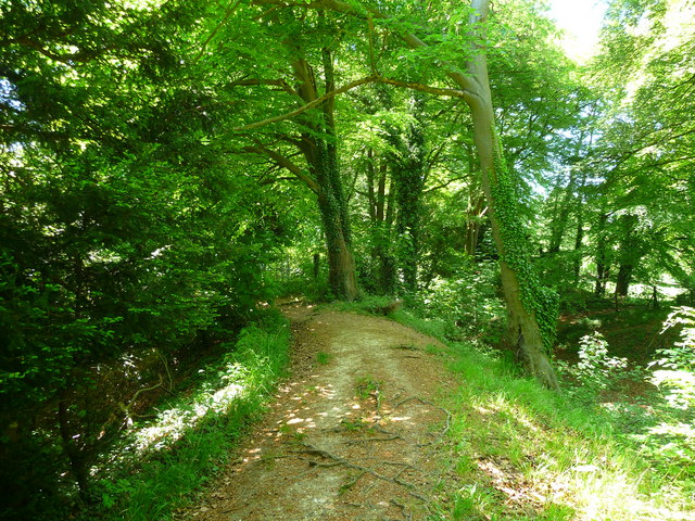
Abbotts Ann Images
Images are sourced within 2km of 51.183903/-1.536226 or Grid Reference SU3242. Thanks to Geograph Open Source API. All images are credited.
Abbotts Ann is located at Grid Ref: SU3242 (Lat: 51.183903, Lng: -1.536226)
Administrative County: Hampshire
District: Test Valley
Police Authority: Hampshire
What 3 Words
///bronze.youth.straw. Near Abbotts Ann, Hampshire
Nearby Locations
Related Wikis
Abbotts Ann Down
Abbotts Ann Down is a hamlet in Hampshire, England, within the civil parish of Abbotts Ann. The settlement lies on the A343 road and is approximately 3...

Little Ann
Little Ann is an English hamlet attached to Abbotts Ann, approximately two miles south-west of Andover in the north-west of Hampshire. The Poplar Farm...
Red Rice, Hampshire
Red Rice is a hamlet and country house in the civil parish of Upper Clatford, south-west of Andover in the English county of Hampshire. == Etymology... ==
Farleigh School
Farleigh School is a Catholic preparatory day and boarding school in Andover, Hampshire, England. Situated in 60 acres (240,000 m2) of parkland in the...
Redrice School
Redrice School was an independent school located at Red Rice, near Andover in Hampshire, United Kingdom. == History == The school was founded by Adrian...

Monxton
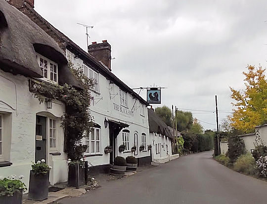
Monxton is a village and civil parish in Hampshire, England. It lies 3 miles west of Andover near the A303 road. It had one pub, named the Black Swan,...
Bury Hill
Bury Hill is the site of a former Iron Age hillfort about 1.5 miles (2.4 km) southwest of the centre of Andover, Hampshire. The site encloses about 22...
Red Post Bridge
Red Post Bridge is a small village in the civil parish of Monxton in the Test Valley district of Hampshire, England. Its nearest town is Andover, which...
Nearby Amenities
Located within 500m of 51.183903,-1.536226Have you been to Abbotts Ann?
Leave your review of Abbotts Ann below (or comments, questions and feedback).