The Groves
Wood, Forest in Hampshire Test Valley
England
The Groves
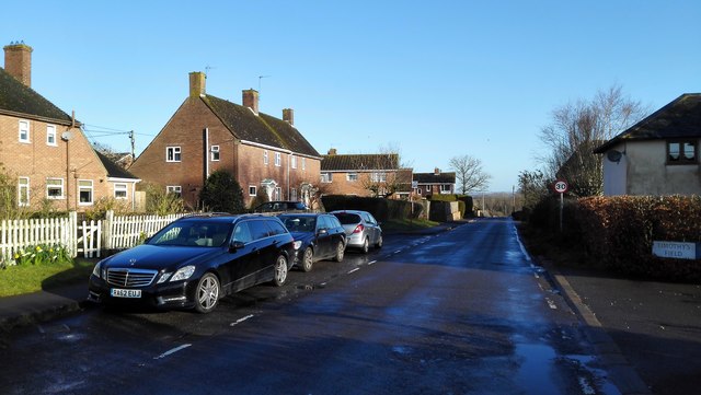
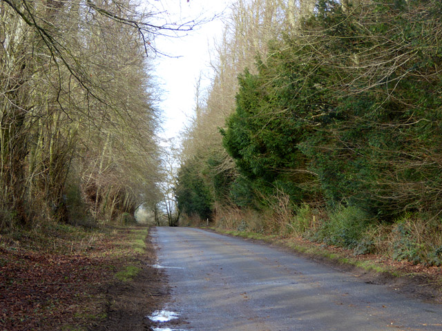
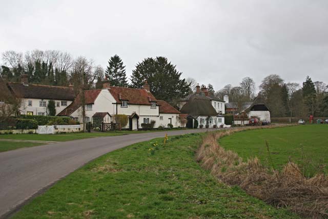
The Groves, located in Hampshire, England, is a captivating woodland forest that encompasses a vast area of natural beauty. Covering an expanse of approximately 50 acres, it is a popular destination for nature enthusiasts, hikers, and those seeking a serene escape from the bustling city life.
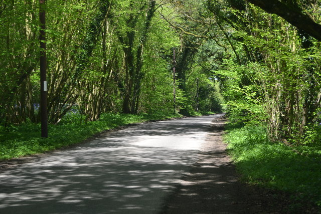
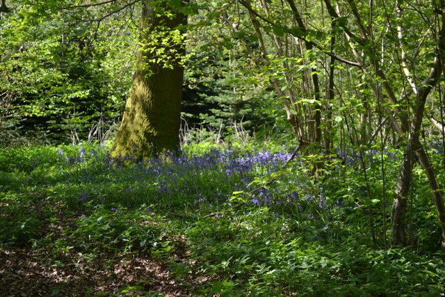
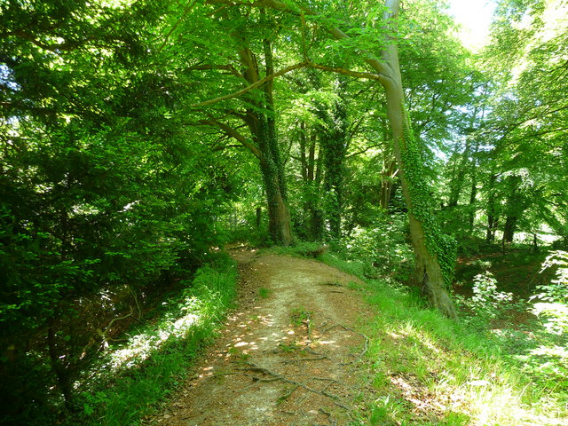
The forest is characterized by its dense canopies of towering trees, predominantly consisting of oak, beech, and ash. The lush greenery creates a tranquil atmosphere, providing a haven for numerous species of wildlife. Visitors can expect to encounter a diverse range of flora and fauna, including deer, squirrels, rabbits, and a myriad of bird species.
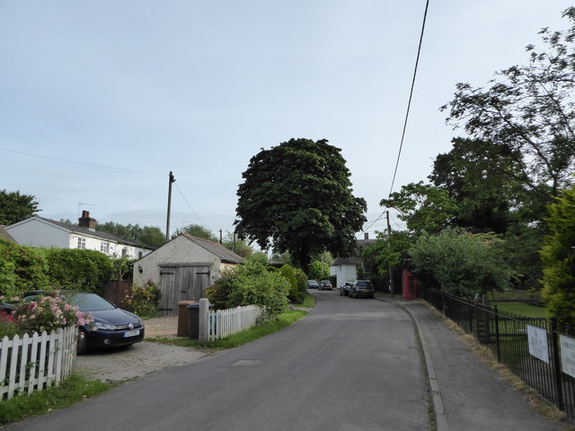
Traversing through The Groves, visitors will discover a network of well-maintained footpaths, allowing them to explore the forest at their own pace. These paths wind their way through the woodland, leading to enchanting clearings and secluded spots, perfect for picnicking or simply taking in the natural surroundings.
The forest is also home to a variety of natural features, including a picturesque stream that meanders through the heart of The Groves. This stream is a favorite among visitors, offering an idyllic setting for relaxation or even paddling during warmer months.
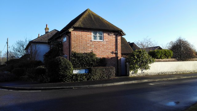
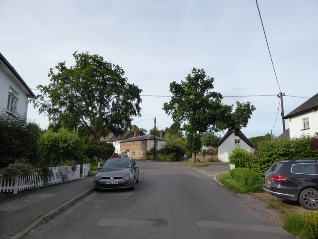
The Groves is easily accessible, with ample parking facilities and well-signposted entrances. It is a popular destination throughout the year, attracting visitors who are eager to experience the tranquility and beauty of this remarkable woodland forest. Whether it's a leisurely walk, a family outing, or a wildlife spotting adventure, The Groves in Hampshire is sure to captivate and leave a lasting impression on all who visit.
If you have any feedback on the listing, please let us know in the comments section below.
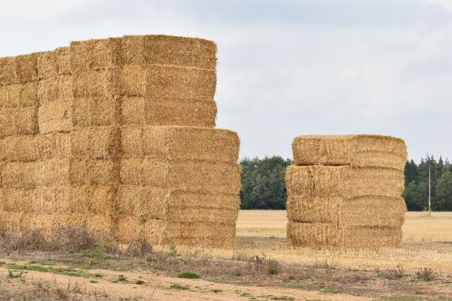
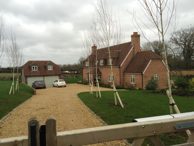
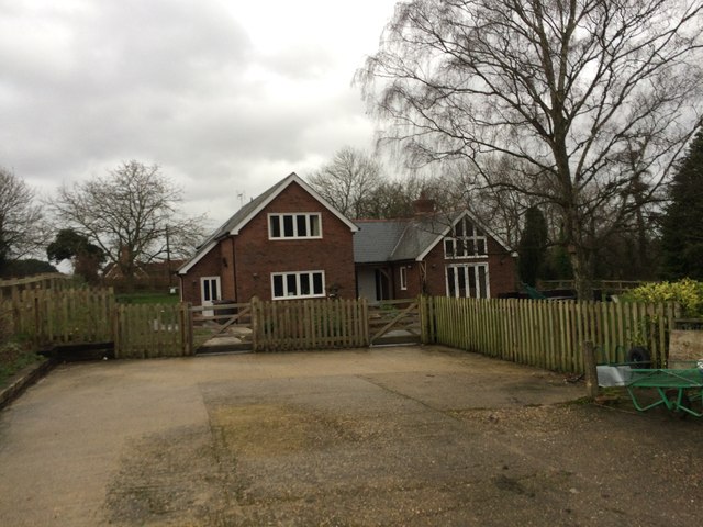
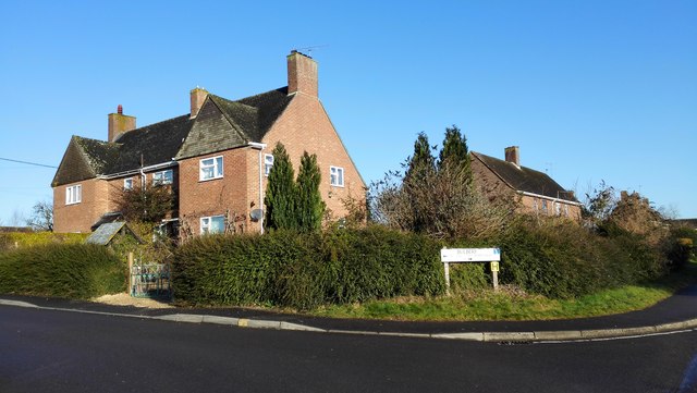
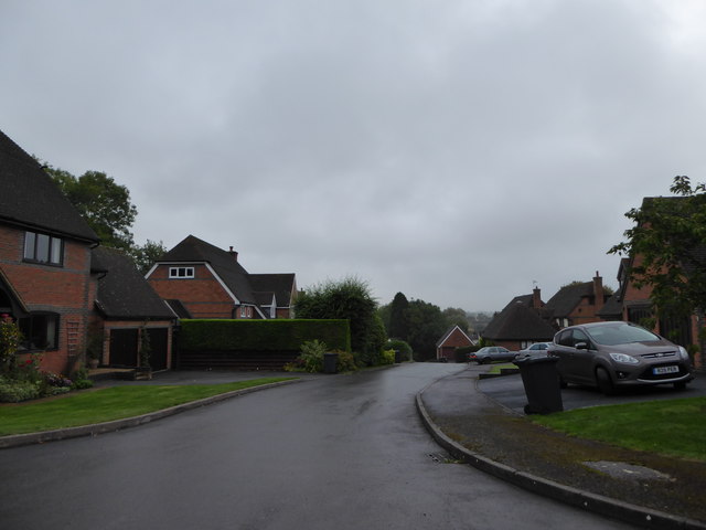
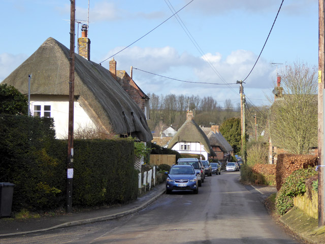
The Groves Images
Images are sourced within 2km of 51.178917/-1.5432773 or Grid Reference SU3242. Thanks to Geograph Open Source API. All images are credited.


The Groves is located at Grid Ref: SU3242 (Lat: 51.178917, Lng: -1.5432773)
Administrative County: Hampshire
District: Test Valley
Police Authority: Hampshire
What 3 Words
///translate.litigate.bleak. Near Abbotts Ann, Hampshire
Nearby Locations
Related Wikis
Abbotts Ann Down
Abbotts Ann Down is a hamlet in Hampshire, England, within the civil parish of Abbotts Ann. The settlement lies on the A343 road and is approximately 3...

Red Rice, Hampshire
Red Rice is a hamlet and country house in the civil parish of Upper Clatford, south-west of Andover in the English county of Hampshire. == Etymology... ==
Little Ann
Little Ann is an English hamlet attached to Abbotts Ann, approximately two miles south-west of Andover in the north-west of Hampshire. The Poplar Farm...
Farleigh School
Farleigh School is a Catholic preparatory day and boarding school in Andover, Hampshire, England. Situated in 60 acres (240,000 m2) of parkland in the...
Redrice School
Redrice School was an independent school located at Red Rice, near Andover in Hampshire, United Kingdom. == History == The school was founded by Adrian...

Monxton
Monxton is a village and civil parish in Hampshire, England. It lies 3 miles west of Andover near the A303 road. It had one pub, named the Black Swan,...
Amport
Amport is a village and civil parish in the Test Valley district of Hampshire, England, a few miles west of Andover. It incorporates the small hamlet...
Bury Hill
Bury Hill is the site of a former Iron Age hillfort about 1.5 miles (2.4 km) southwest of the centre of Andover, Hampshire. The site encloses about 22...
Have you been to The Groves?
Leave your review of The Groves below (or comments, questions and feedback).