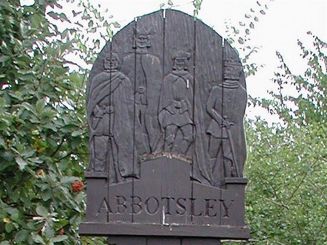
Abbotsley
Civil Parish in Huntingdonshire Huntingdonshire
England
Abbotsley
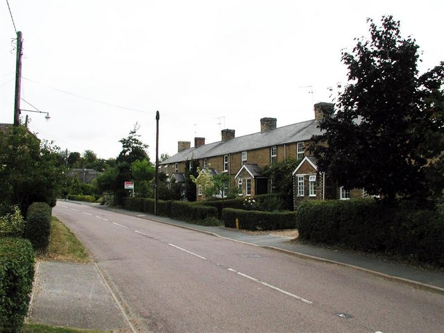
Abbotsley is a civil parish located in the district of Huntingdonshire in Cambridgeshire, England. It is a small village situated approximately 8 miles west of St. Neots and 12 miles south of Huntingdon. The village is surrounded by picturesque countryside and is known for its rural charm and peaceful atmosphere.
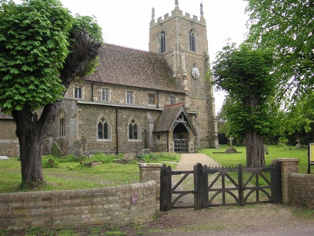
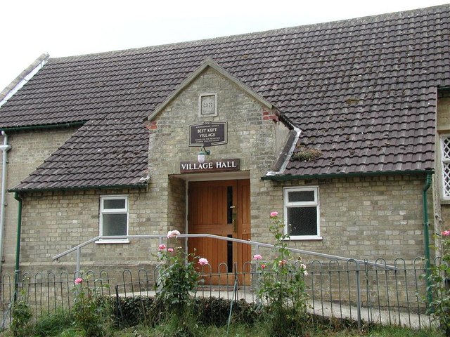
Abbotsley is home to a number of historic buildings, including the Grade II listed St. Margaret's Church, which dates back to the 12th century. The village also has a village hall, a primary school, and a pub, providing essential amenities for its residents.
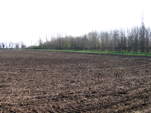
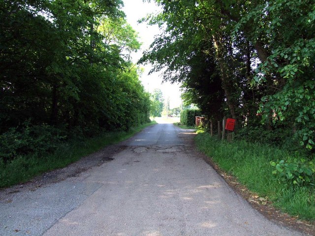
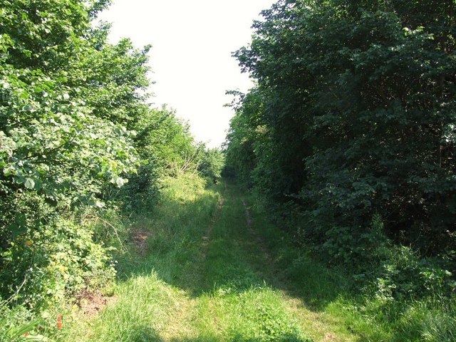
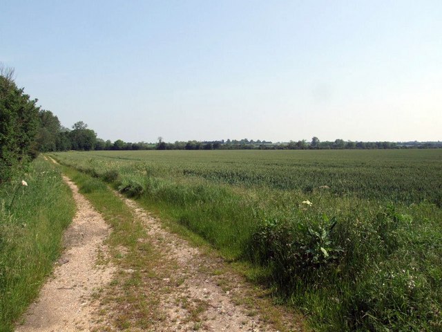
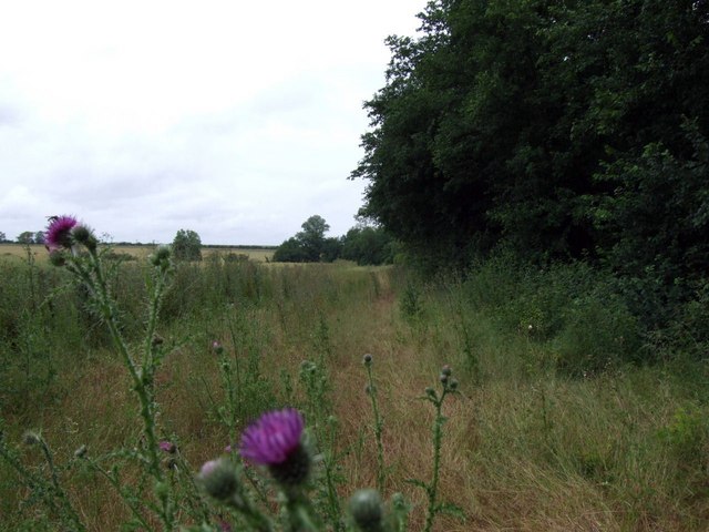
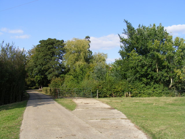
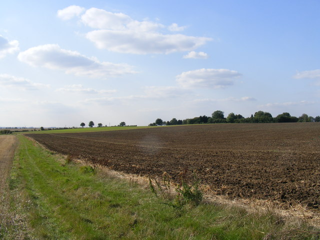
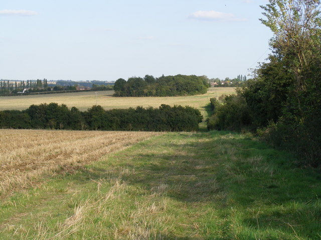
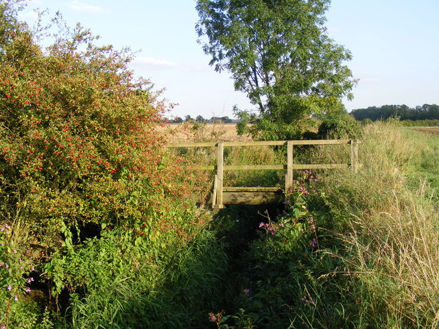
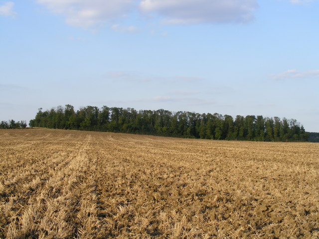
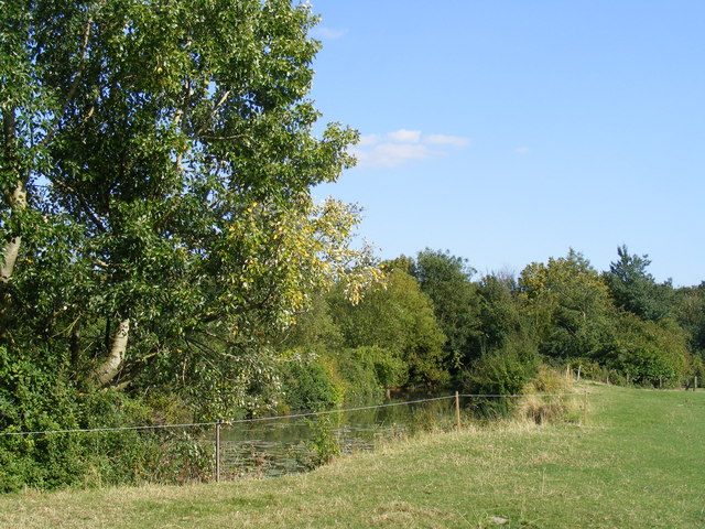
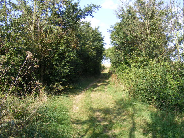
The parish is predominantly agricultural, with fields and farmland surrounding the village. The landscape is characterized by rolling hills and lush greenery, making it an ideal location for outdoor activities such as walking, cycling, and horse riding.
Overall, Abbotsley is a quiet and idyllic village that offers a peaceful retreat for those looking to escape the hustle and bustle of urban life. With its historic charm and beautiful countryside, it is a popular destination for visitors seeking a taste of rural England.
If you have any feedback on the listing, please let us know in the comments section below.
Abbotsley Images
Images are sourced within 2km of 52.208747/-0.215869 or Grid Reference TL2258. Thanks to Geograph Open Source API. All images are credited.


Abbotsley is located at Grid Ref: TL2258 (Lat: 52.208747, Lng: -0.215869)
Administrative County: Cambridgeshire
District: Huntingdonshire
Police Authority: Cambridgeshire
What 3 Words
///mixture.airbase.shade. Near St Neots, Cambridgeshire
Nearby Locations
Related Wikis

St Margaret's Church, Abbotsley
St Margaret's Church is a historic Anglican church in the village of Abbotsley, Cambridgeshire, England. It is recorded in the National Heritage List...

Abbotsley
Abbotsley is a village and civil parish within the Huntingdonshire district of Cambridgeshire, England. It is three miles from St Neots and 14 miles from...

Eynesbury Hardwicke
Eynesbury Hardwicke is a former civil parish, now in the parishes of Abbotsley and St Neots, in the Huntingdonshire part of Cambridgeshire, England. At...

Wintringham
Wintringham is a community in the civil parish of St Neots, Cambridgeshire, England. It is located on the eastern side of the town, east of the East Coast...

Croxton, Cambridgeshire
Croxton is a village and civil parish about 13 miles (21 km) west of Cambridge in South Cambridgeshire, England. In 2001, the resident population was 163...

St Neots Town F.C.
St Neots Town Football Club is an English semi-professional football club based in St Neots, Cambridgeshire. The club are currently members of the United...
1895 St. Neots rail accident
The St. Neots Derailment 1895 occurred near to St. Neots railway station on 10 November 1895 when a Great Northern Railway Scottish express from Kings...
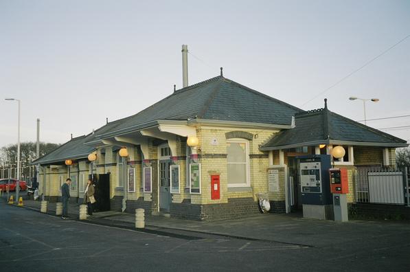
St Neots railway station
St Neots railway station serves the town of St Neots in Cambridgeshire, England. It is located to the east of the town approximately 2 miles from the town...
Nearby Amenities
Located within 500m of 52.208747,-0.215869Have you been to Abbotsley?
Leave your review of Abbotsley below (or comments, questions and feedback).