Caldecote
Settlement in Huntingdonshire Huntingdonshire
England
Caldecote
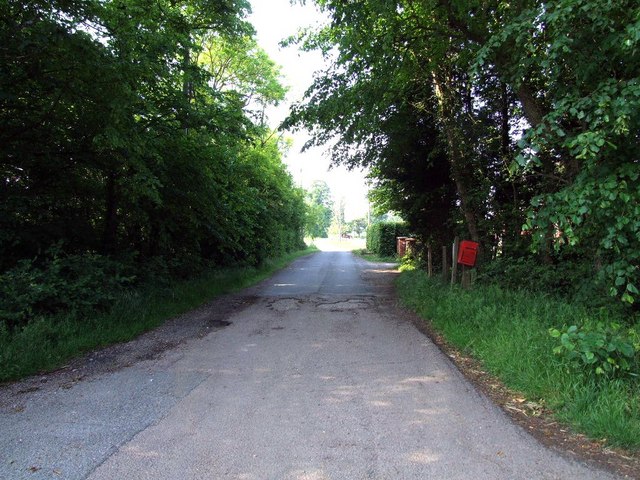
Caldecote is a small village located in the county of Huntingdonshire, in the eastern part of England. Situated approximately 7 miles northwest of the town of Huntingdon, Caldecote is a rural settlement that boasts a charming and picturesque countryside setting.
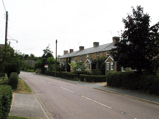
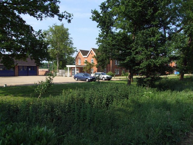
The village itself is characterized by its traditional English cottages, many of which date back several centuries. These delightful homes are surrounded by well-maintained gardens and are made even more attractive by the presence of thatched roofs, giving the village a quintessentially English feel.
Despite its small size, Caldecote is home to a close-knit community, with a population of around 200 residents. The village has a strong sense of community spirit, and residents often come together to organize various events and activities throughout the year. This includes the annual village fete, which showcases local talents and crafts, as well as providing an opportunity for fundraising.
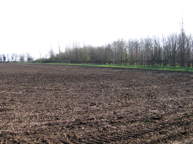
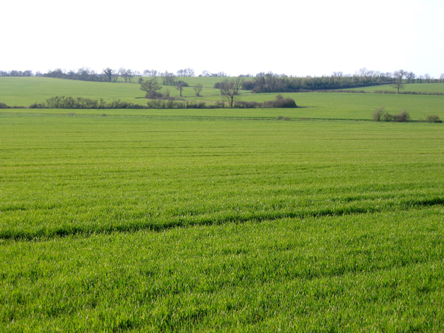
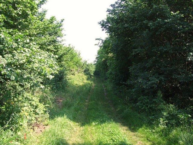
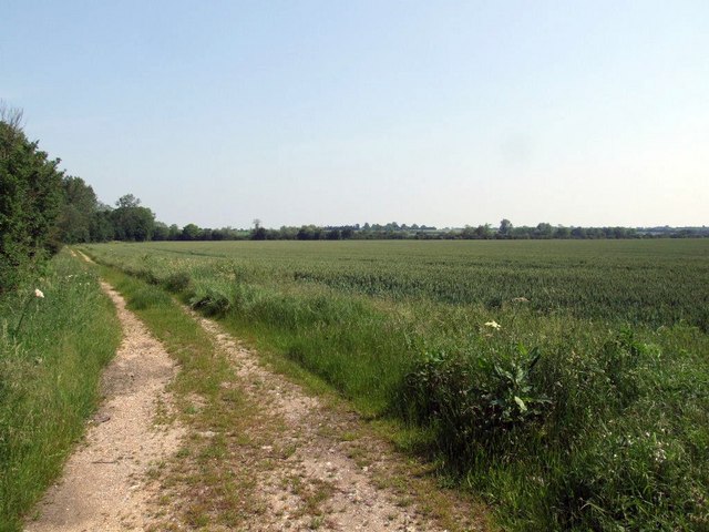
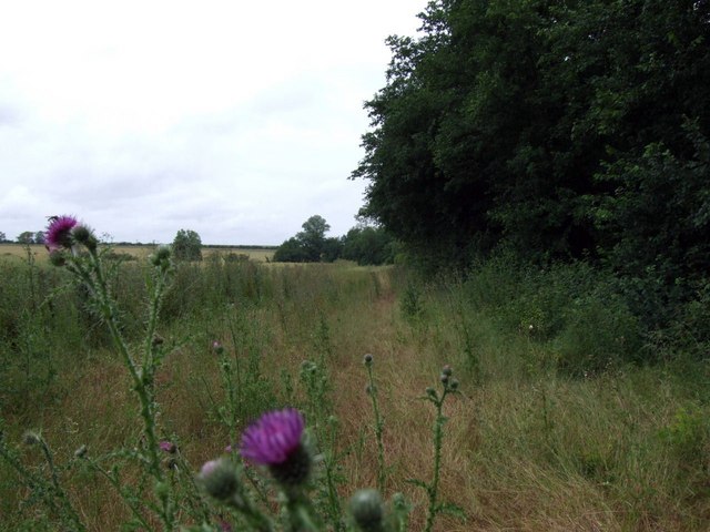
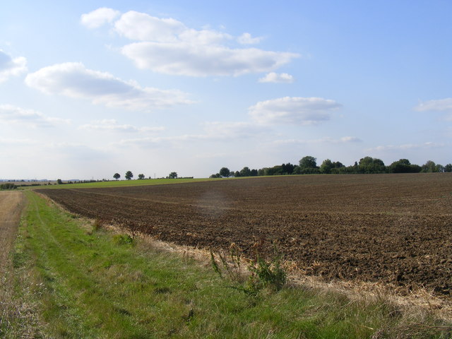
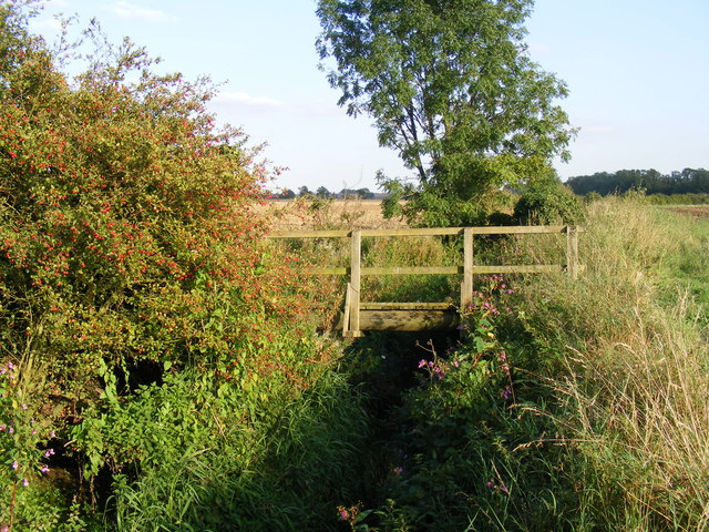
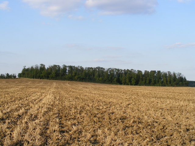
The surrounding area of Caldecote is predominantly agricultural, with rolling green fields and farmland stretching as far as the eye can see. This offers residents and visitors alike the chance to explore the countryside and enjoy peaceful walks in a tranquil setting.
In terms of amenities, Caldecote has a small church, St. Mary Magdalene, which serves as a place of worship for the local community. Additionally, there are no shops or schools within the village itself, but the nearby towns of Huntingdon and St. Neots provide easy access to a range of services and facilities.
Overall, Caldecote offers a picturesque and idyllic countryside retreat, with a strong sense of community and a tranquil atmosphere that attracts those seeking a quieter way of life.
If you have any feedback on the listing, please let us know in the comments section below.
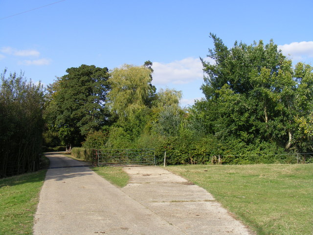
Caldecote Images
Images are sourced within 2km of 52.210036/-0.20700127 or Grid Reference TL2258. Thanks to Geograph Open Source API. All images are credited.


Caldecote is located at Grid Ref: TL2258 (Lat: 52.210036, Lng: -0.20700127)
Administrative County: Cambridgeshire
District: Huntingdonshire
Police Authority: Cambridgeshire
What 3 Words
///surveyors.robot.mildest. Near St Neots, Cambridgeshire
Nearby Locations
Related Wikis

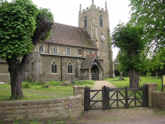
St Margaret's Church, Abbotsley
St Margaret's Church is a historic Anglican church in the village of Abbotsley, Cambridgeshire, England. It is recorded in the National Heritage List...

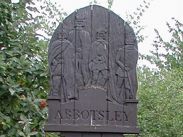
Abbotsley
Abbotsley is a village and civil parish within the Huntingdonshire district of Cambridgeshire, England. It is three miles from St Neots and 14 miles from...

Croxton, Cambridgeshire
Croxton is a village and civil parish about 13 miles (21 km) west of Cambridge in South Cambridgeshire, England. In 2001, the resident population was 163...

Eynesbury Hardwicke
Eynesbury Hardwicke is a former civil parish, now in the parishes of Abbotsley and St Neots, in the Huntingdonshire part of Cambridgeshire, England. At...

Wintringham
Wintringham is a community in the civil parish of St Neots, Cambridgeshire, England. It is located on the eastern side of the town, east of the East Coast...

St Neots Town F.C.
St Neots Town Football Club is an English semi-professional football club based in St Neots, Cambridgeshire. The club are currently members of the United...
1895 St. Neots rail accident
The St. Neots Derailment 1895 occurred near to St. Neots railway station on 10 November 1895 when a Great Northern Railway Scottish express from Kings...
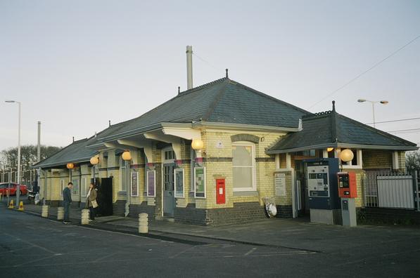
St Neots railway station
St Neots railway station serves the town of St Neots in Cambridgeshire, England. It is located to the east of the town approximately 2 miles from the town...
Nearby Amenities
Located within 500m of 52.210036,-0.20700127Have you been to Caldecote?
Leave your review of Caldecote below (or comments, questions and feedback).