Port Talbot

Community in Glamorgan

Wales

Port Talbot

Port Talbot Steelworks The Port Talbot Steelworks is one of the largest in the country and spans several square km.  This photo is obviously taken from a distance since the interior of the works is private and subject to photographic restrictions.
Port Talbot Steelworks Credit: Chris Shaw

Port Talbot is a community located in the county borough of Neath Port Talbot, in the historic county of Glamorgan, Wales. It is situated on the eastern coast of Swansea Bay and lies approximately 8 miles east of Swansea city.

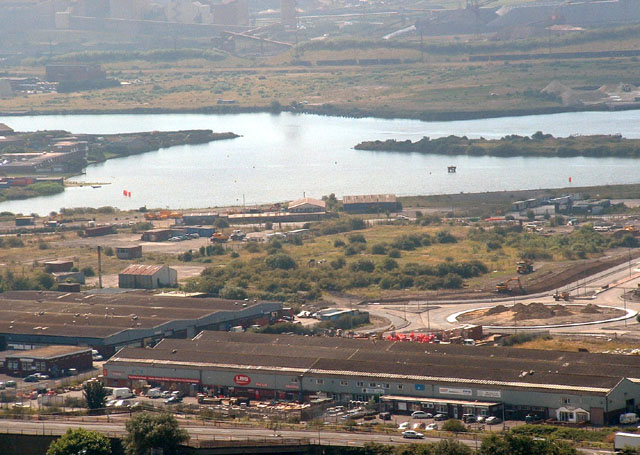
With a population of around 37,000 people, Port Talbot is the third-largest town in the county borough. The town has a rich industrial heritage and is historically known for its steel production, with the Port Talbot Steelworks being one of the largest steel plants in the UK. The industry has played a significant role in shaping the town's identity and economy.

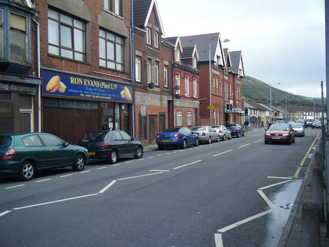
Port Talbot offers a range of amenities and services to its residents. The town center features a variety of shops, restaurants, and cafes, providing a vibrant retail and dining experience. There are also several supermarkets and local markets where residents can shop for groceries and other essentials.

For recreational activities, Port Talbot boasts beautiful coastal areas and parks, such as Aberavon Beach and Margam Country Park. These outdoor spaces provide opportunities for leisurely walks, picnics, and various water sports. The town is also home to a number of sports facilities, including a leisure center, golf courses, and rugby and football clubs.

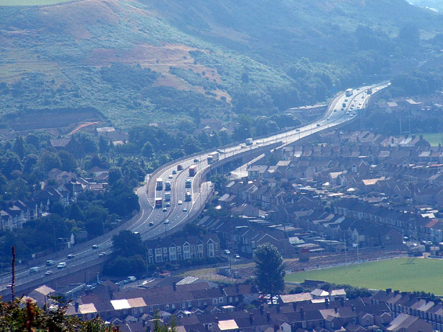
Transportation in Port Talbot is well-connected, with the M4 motorway passing through the town, providing easy access to other major cities in South Wales and England. The town is also served by regular bus services and has its own railway station, making it convenient for commuters.

Overall, Port Talbot is a vibrant community with a strong industrial heritage, offering a range of amenities, recreational spaces, and transportation links for its residents.

If you have any feedback on the listing, please let us know in the comments section below.
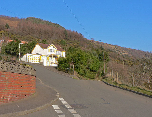
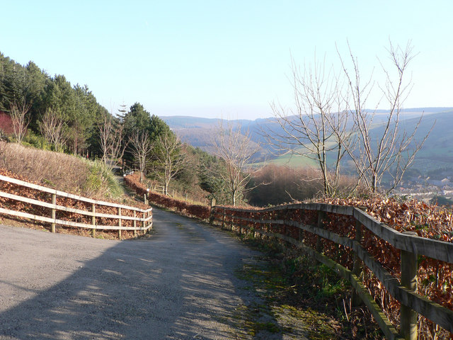
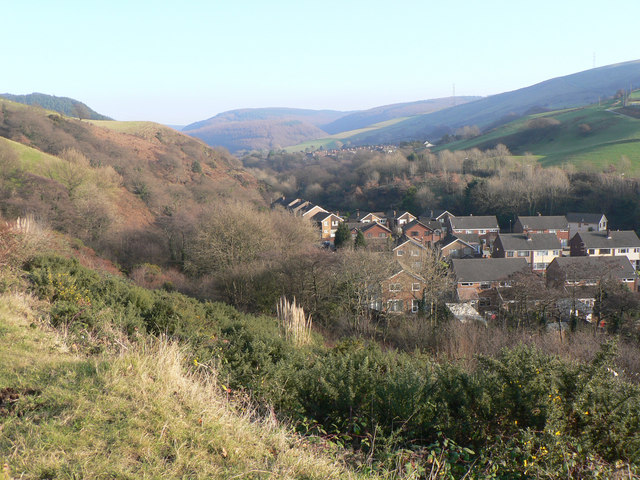
Port Talbot Images

Images are sourced within 2km of 51.598045/-3.764866 or Grid Reference SS7790. Thanks to Geograph Open Source API. All images are credited.

Port Talbot Steelworks The Port Talbot Steelworks is one of the largest in the country and spans several square km.  This photo is obviously taken from a distance since the interior of the works is private and subject to photographic restrictions.
Port Talbot Steelworks
The Port Talbot Steelworks is one of the largest in the country and spans several square km. This photo is obviously taken from a distance since the interior of the works is private and subject to photographic restrictions.
Port Talbot Docks Looking south over the docks and industrial area.
Port Talbot Docks
Looking south over the docks and industrial area.
M4 Port Talbot J40 Showing elevated motorway and junction 40 dominating the centre of the square.  Viewed from the NW.
M4 Port Talbot J40
Showing elevated motorway and junction 40 dominating the centre of the square. Viewed from the NW.
St Peters, Goytre Looking NE near centre of square
St Peters, Goytre
Looking NE near centre of square
St Peters (closeup)
St Peters (closeup)
Goytre Cemetery Just part of the extensive cemetery to the East of the village
Goytre Cemetery
Just part of the extensive cemetery to the East of the village
Forest Track Near the North of the square
Forest Track
Near the North of the square
Informal Lido, Port Talbot This former basin at Port Talbot Docks is used officially for water skiing, and more informally as a bathing pool. The blast furnaces of Margam steelworks provide an unusual background to leisure activities.
Informal Lido, Port Talbot
This former basin at Port Talbot Docks is used officially for water skiing, and more informally as a bathing pool. The blast furnaces of Margam steelworks provide an unusual background to leisure activities.
M4 Port Talbot This photo was taken on the M4, Port Talbot.
M4 Port Talbot
This photo was taken on the M4, Port Talbot.
St Peter, Goytre, Glamorgan
Broomhill, Pen-y-cae On the edge of the small hillside village of Pen-y-cae this road leads to a lane to the top of Mynydd Emroch.  The 'road', to the right, is little more than a paved track that rather contradicts its status on the map.
Broomhill, Pen-y-cae
On the edge of the small hillside village of Pen-y-cae this road leads to a lane to the top of Mynydd Emroch. The 'road', to the right, is little more than a paved track that rather contradicts its status on the map.
Across Cwm Dyffryn from Pen-y-cae
Cwm Dyffryn near Port Talbot The cwm runs between Mynydd Emroch and Mynydd Margam. The houses lie between Pen-y-cae and Taibach with the latter probably claiming 'sovereignty'!
Cwm Dyffryn near Port Talbot
The cwm runs between Mynydd Emroch and Mynydd Margam. The houses lie between Pen-y-cae and Taibach with the latter probably claiming 'sovereignty'!
A48 in Taibach looking east Street scene looking towards traffic lights where left turn leads to Goytre. V good pies across the road.
A48 in Taibach looking east
Street scene looking towards traffic lights where left turn leads to Goytre. V good pies across the road.
St Theodore's Church, Port Talbot
Show me another place!

Port Talbot is located at Grid Ref: SS7790 (Lat: 51.598045, Lng: -3.764866)

Unitary Authority: Neath Port Talbot

Police Authority: South Wales

What 3 Words

///motel.fuels.aura. Near Port Talbot, Neath Port Talbot

Related Wikis

Mynydd Emroch television relay station

The Mynydd Emroch television relay station is sited on the eponymous hill to the east of Port Talbot. It was originally built in the 1970s as a fill-in...

Holy Cross Church, Port Talbot

Holy Cross Church, Port Talbot, also known locally as the "Chapel of Ease", is a Victorian church located centrally in the Taibach district of Port Talbot...

Talbot Athletic Ground

The Talbot Athletic Ground is a sports stadium located in central Port Talbot, Wales, with a maximum capacity of 8,000. The ground is home to Welsh rugby...

Goytre

Goytre (Welsh: Goetre) is a village near the town of Port Talbot, Wales. The village lies in the valley of the Nant Ffrwdwyllt, between the communities...

Nearby Amenities

Located within 500m of 51.598045,-3.764866
Turning Circle
Lat/Long: 51.5936944/-3.7665991
Mynydd Emroch TV relay station
Communication Television: yes
Man Made: tower
Tower: communication
Tower Construction: lattice
Tower Type: communication
Wikidata: Q6947846
Wikipedia: en:Mynydd Emroch television relay station
Lat/Long: 51.5966249/-3.7689885
Power: pole
Lat/Long: 51.6002151/-3.7709954
The data included in this document is from www.openstreetmap.org. The data is made available under ODbL.

Have you been to Port Talbot?

Leave your review of Port Talbot below (or comments, questions and feedback).