Lletyharri

Settlement in Glamorgan

Wales

Lletyharri

Port Talbot Docks Looking south over the docks and industrial area.
Port Talbot Docks Credit: Chris Shaw

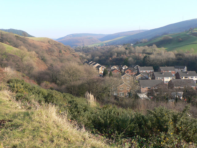
Lletyharri is a small village located in the county of Glamorgan, Wales. Situated in the southern part of the country, it lies approximately 10 miles north of the city of Swansea. The village is nestled within a picturesque rural landscape, surrounded by rolling hills and lush green fields.

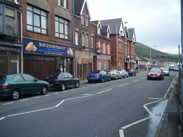
Lletyharri is known for its tranquil and peaceful atmosphere, making it a popular destination for those seeking a retreat from the bustling city life. The village is characterized by its charming cottages and traditional Welsh architecture, which adds to its quaint and idyllic charm.

Despite its small size, Lletyharri boasts a strong sense of community and offers a range of amenities for its residents and visitors. The village is home to a local pub, where locals often gather to socialize and enjoy a pint. There is also a small convenience store, providing essential goods and services to the community.

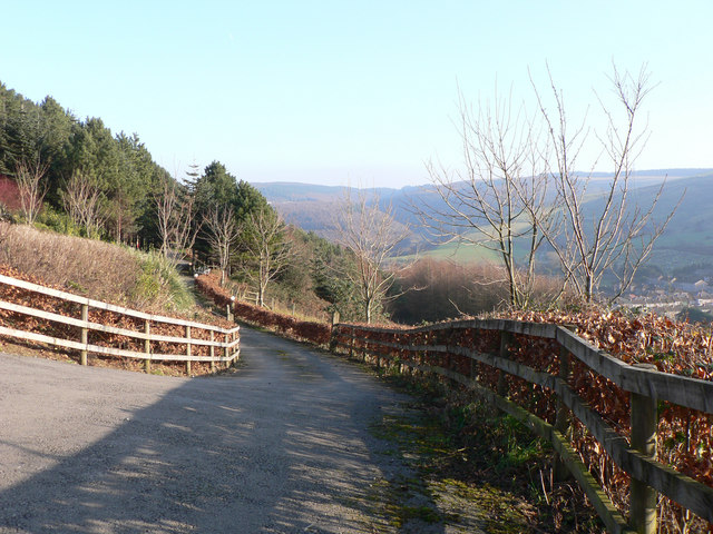
Surrounded by natural beauty, Lletyharri offers plenty of opportunities for outdoor activities. The nearby hills and countryside are perfect for leisurely walks, hiking, and cycling. The village is also in close proximity to several nature reserves, providing an opportunity for wildlife enthusiasts to observe a variety of species in their natural habitat.

Overall, Lletyharri is a charming and peaceful village with a strong sense of community and an abundance of natural beauty. It offers a tranquil retreat for those looking to escape the hustle and bustle of city life and immerse themselves in the serenity of the Welsh countryside.

If you have any feedback on the listing, please let us know in the comments section below.
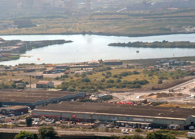
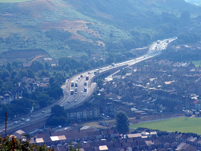
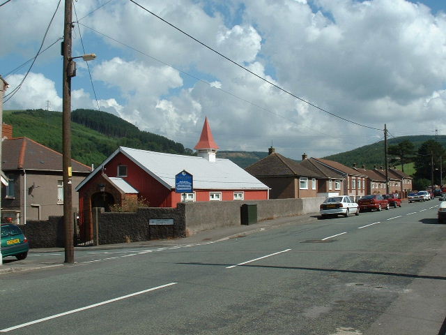
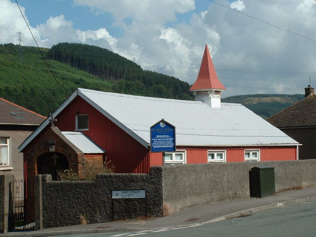
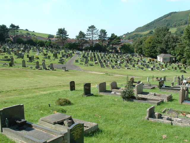
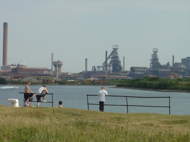
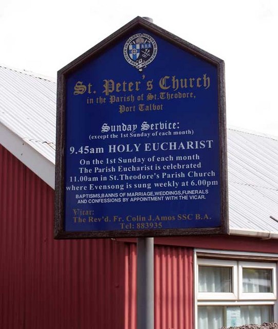
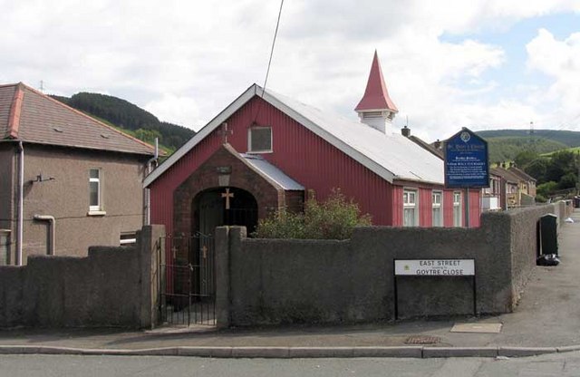
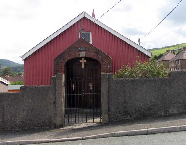
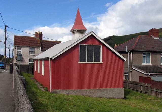
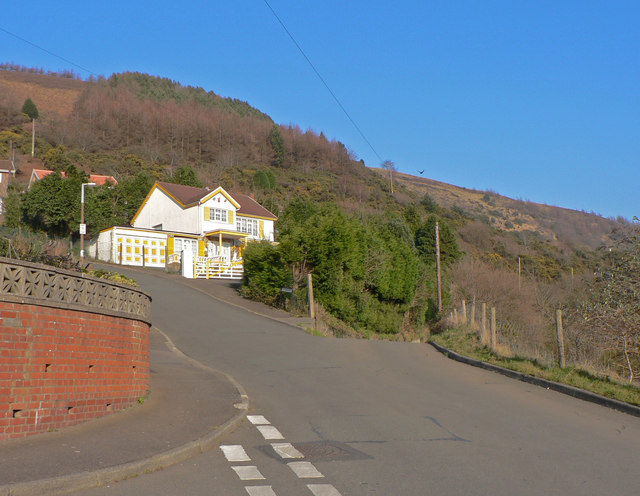
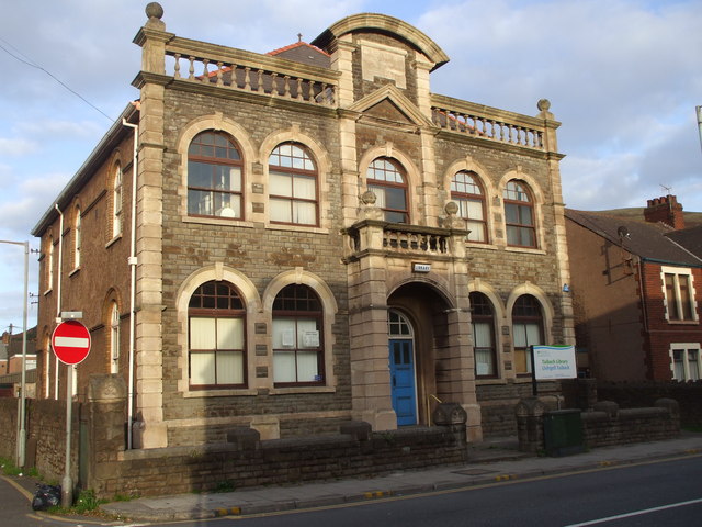
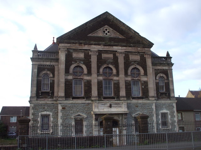
Lletyharri Images

Images are sourced within 2km of 51.601194/-3.7736278 or Grid Reference SS7790. Thanks to Geograph Open Source API. All images are credited.

Port Talbot Docks Looking south over the docks and industrial area.
Port Talbot Docks
Looking south over the docks and industrial area.
M4 Port Talbot J40 Showing elevated motorway and junction 40 dominating the centre of the square.  Viewed from the NW.
M4 Port Talbot J40
Showing elevated motorway and junction 40 dominating the centre of the square. Viewed from the NW.
St Peters, Goytre Looking NE near centre of square
St Peters, Goytre
Looking NE near centre of square
St Peters (closeup)
St Peters (closeup)
Goytre Cemetery Just part of the extensive cemetery to the East of the village
Goytre Cemetery
Just part of the extensive cemetery to the East of the village
Informal Lido, Port Talbot This former basin at Port Talbot Docks is used officially for water skiing, and more informally as a bathing pool. The blast furnaces of Margam steelworks provide an unusual background to leisure activities.
Informal Lido, Port Talbot
This former basin at Port Talbot Docks is used officially for water skiing, and more informally as a bathing pool. The blast furnaces of Margam steelworks provide an unusual background to leisure activities.
St Peter, Goytre, Glamorgan
Broomhill, Pen-y-cae On the edge of the small hillside village of Pen-y-cae this road leads to a lane to the top of Mynydd Emroch.  The 'road', to the right, is little more than a paved track that rather contradicts its status on the map.
Broomhill, Pen-y-cae
On the edge of the small hillside village of Pen-y-cae this road leads to a lane to the top of Mynydd Emroch. The 'road', to the right, is little more than a paved track that rather contradicts its status on the map.
Across Cwm Dyffryn from Pen-y-cae
Cwm Dyffryn near Port Talbot The cwm runs between Mynydd Emroch and Mynydd Margam. The houses lie between Pen-y-cae and Taibach with the latter probably claiming 'sovereignty'!
Cwm Dyffryn near Port Talbot
The cwm runs between Mynydd Emroch and Mynydd Margam. The houses lie between Pen-y-cae and Taibach with the latter probably claiming 'sovereignty'!
A48 in Taibach looking east Street scene looking towards traffic lights where left turn leads to Goytre. V good pies across the road.
A48 in Taibach looking east
Street scene looking towards traffic lights where left turn leads to Goytre. V good pies across the road.
St Theodore's Church, Port Talbot
Talbot Park gateway, Port Talbot
Taibach Library
Taibach Library
Capel Dyffryn, Port Talbot This derelict Welsh Calvinistic Methodist chapel is just in SS77 88 on the 1:25000 OS map, though marked in SS77 89 on the 1:50000 map.
Capel Dyffryn, Port Talbot
This derelict Welsh Calvinistic Methodist chapel is just in SS77 88 on the 1:25000 OS map, though marked in SS77 89 on the 1:50000 map.
Show me another place!

Lletyharri is located at Grid Ref: SS7790 (Lat: 51.601194, Lng: -3.7736278)

Unitary Authority: Neath Port Talbot

Police Authority: South Wales

What 3 Words

///shift.tent.goods. Near Port Talbot, Neath Port Talbot

Related Wikis

Mynydd Emroch television relay station

The Mynydd Emroch television relay station is sited on the eponymous hill to the east of Port Talbot. It was originally built in the 1970s as a fill-in...

Trefelin B.G.C.

Trefelin Boys & Girls Club, often shortened to Trefelin BGC, is an association football club who play their home games at Ynys park in Port Talbot, Neath...

District of Port Talbot

Port Talbot was one of the four local government districts of the county of West Glamorgan, Wales from 1974 to 1996. The borough was initially called Afan...

Port Talbot Power Station

Port Talbot Power Station was a proposed 1,100–1,300 MW natural gas-fired power station in Port Talbot, situated in Neath Port Talbot county borough, Wales...

Nearby Amenities

Located within 500m of 51.601194,-3.7736278
Mini Roundabout
Direction: clockwise
Lat/Long: 51.5980056/-3.7749799
Traffic Calming: yes
Lat/Long: 51.5988648/-3.7743236
Noexit: yes
Lat/Long: 51.6010438/-3.7745658
Noexit: yes
Lat/Long: 51.6010271/-3.7743295
Traffic Calming: yes
Lat/Long: 51.6019349/-3.7743703
Noexit: yes
Lat/Long: 51.6018249/-3.7750573
Noexit: yes
Lat/Long: 51.6016762/-3.7749607
Noexit: yes
Lat/Long: 51.602188/-3.7754242
Noexit: yes
Lat/Long: 51.6027797/-3.7757332
Noexit: yes
Lat/Long: 51.6026784/-3.7754328
Library
Neath Port Talbot Library and Information Services
Lat/Long: 51.5983642/-3.77666
Noexit: yes
Lat/Long: 51.5982692/-3.7743394
Place Of Worship
Lat/Long: 51.5976796/-3.7759354
Traffic Calming: hump
Lat/Long: 51.5982414/-3.7747387
Traffic Calming: chicane
Lat/Long: 51.6008575/-3.772267
Bus Stop
Bus: yes
Naptan AtcoCode: 5820AWN26388
Naptan NaptanCode: nptatjd
Public Transport: platform
Lat/Long: 51.6026189/-3.7718432
Velindre
Alt Name En: Felindre
Loc Name: Felindre
Name Cy: Felindre
Name En: Velindre
Place: suburb
Wikidata: Q107032526
Lat/Long: 51.5998509/-3.7767421
Street Lamp
Lamp Model: Philips MA60
Lamp Type: low_pressure_sodium
Light Count: 1
Light Power: 180
Source: Mapillary (2019-03-21)
Lat/Long: 51.5969212/-3.7758127
Street Lamp
Lamp Model: Philips MA60
Lamp Type: low_pressure_sodium
Light Count: 1
Light Power: 180
Source: Mapillary (2019-03-21)
Lat/Long: 51.5970895/-3.7760782
Street Lamp
Lamp Model: Philips MA60
Lamp Type: low_pressure_sodium
Light Count: 1
Light Power: 180
Source: Mapillary (2019-03-21)
Lat/Long: 51.5972444/-3.7763572
Street Lamp
Lamp Model: Philips MA60
Lamp Type: low_pressure_sodium
Light Count: 1
Light Power: 180
Source: Mapillary (2019-03-21)
Lat/Long: 51.5974194/-3.7767246
Street Lamp
Lamp Model: Philips MA60
Lamp Type: low_pressure_sodium
Light Count: 1
Light Power: 180
Source: Mapillary (2019-03-21)
Lat/Long: 51.5975293/-3.7770492
Street Lamp
Lamp Model: Philips MA60
Lamp Type: low_pressure_sodium
Light Count: 1
Light Power: 180
Source: Mapillary (2019-03-21)
Lat/Long: 51.5976626/-3.7774783
Street Lamp
Lamp Model: Philips MA60
Lamp Type: low_pressure_sodium
Light Count: 1
Light Power: 180
Source: Mapillary (2019-03-21)
Lat/Long: 51.5977809/-3.7779155
Street Lamp
Lamp Model: Philips MA60
Lamp Type: low_pressure_sodium
Light Count: 1
Light Power: 180
Source: Mapillary (2019-03-21)
Lat/Long: 51.5979442/-3.7785459
Street Lamp
Lamp Model: Philips MA60
Lamp Type: low_pressure_sodium
Light Count: 1
Light Power: 180
Source: Mapillary (2019-03-21)
Lat/Long: 51.5971345/-3.7767434
Street Lamp
Lamp Model: Philips MA60
Lamp Type: low_pressure_sodium
Light Count: 1
Light Power: 180
Source: Mapillary (2019-03-21)
Lat/Long: 51.597366/-3.7772986
Power: pole
Lat/Long: 51.6015562/-3.7710303
Power: pole
Lat/Long: 51.6031122/-3.7706816
Power: pole
Lat/Long: 51.6041368/-3.769944
Power: pole
Lat/Long: 51.6040635/-3.7696677
Power: pole
Lat/Long: 51.6031039/-3.7703651
Power: pole
Lat/Long: 51.6022543/-3.7705717
Power: pole
Lat/Long: 51.6002151/-3.7709954
Post Box
Brand: Royal Mail
Brand Wikidata: Q638098
Collection Times: Mo-Fr 09:00; Sa 07:00
Operator: Royal Mail
Operator Wikidata: Q638098
Post Box Mounting: pier
Post Box Type: lamp
Ref: SA13 31D
Royal Cypher: EIIR
Royal Cypher Wikidata: Q33102113
Lat/Long: 51.5990338/-3.779722
Post Box
Brand: Royal Mail
Brand Wikidata: Q638098
Collection Times: Mo-Fr 09:00; Sa 07:00
Operator: Royal Mail
Operator Wikidata: Q638098
Post Box Mounting: pier
Post Box Type: lamp
Ref: SA13 61D
Royal Cypher: EIIR
Royal Cypher Wikidata: Q33102113
Lat/Long: 51.6009465/-3.7721019
Direction: SW
Generator Method: photovoltaic
Generator Output Electricity: yes
Generator Solar Modules: 10
Generator Source: solar
Generator Type: solar_photovoltaic_panel
Location: roof
Power: generator
Lat/Long: 51.6010991/-3.7759944
Direction: S
Generator Method: photovoltaic
Generator Output Electricity: yes
Generator Solar Modules: 16
Generator Source: solar
Generator Type: solar_photovoltaic_panel
Location: roof
Power: generator
Lat/Long: 51.5991863/-3.7770492
Direction: 185
Generator Method: photovoltaic
Generator Output Electricity: yes
Generator Solar Modules: 10
Generator Source: solar
Generator Type: solar_photovoltaic_panel
Location: roof
Power: generator
Lat/Long: 51.5994562/-3.777245
Direction: 195
Generator Method: photovoltaic
Generator Output Electricity: yes
Generator Solar Modules: 14
Generator Source: solar
Generator Type: solar_photovoltaic_panel
Location: roof
Power: generator
Lat/Long: 51.6001718/-3.772358
The data included in this document is from www.openstreetmap.org. The data is made available under ODbL.

Have you been to Lletyharri?

Leave your review of Lletyharri below (or comments, questions and feedback).