Lletty Harry
Settlement in Glamorgan
Wales
Lletty Harry
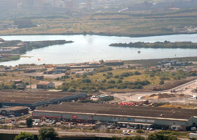
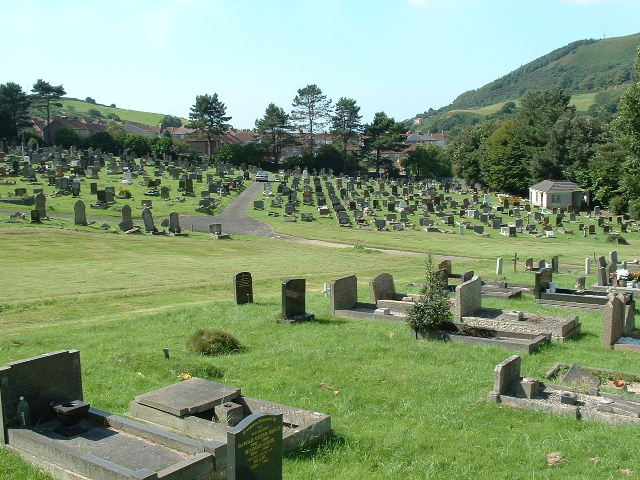
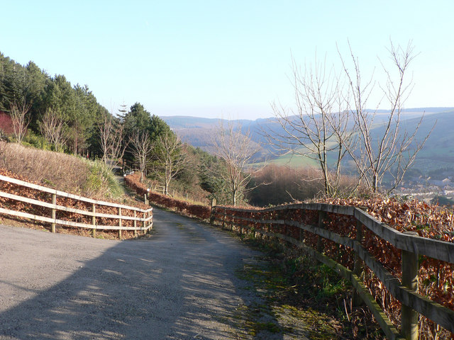
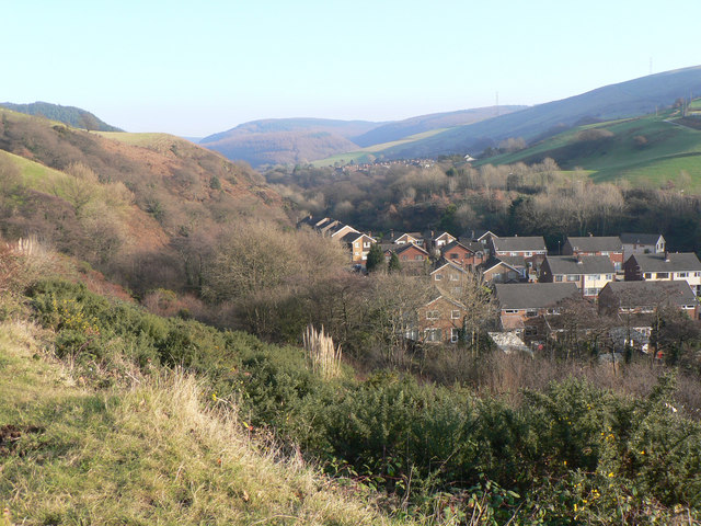
Lletty Harry is a small rural hamlet located in the county of Glamorgan, Wales. Situated in the scenic countryside, the hamlet is surrounded by rolling hills and lush green fields, offering a tranquil and picturesque setting.
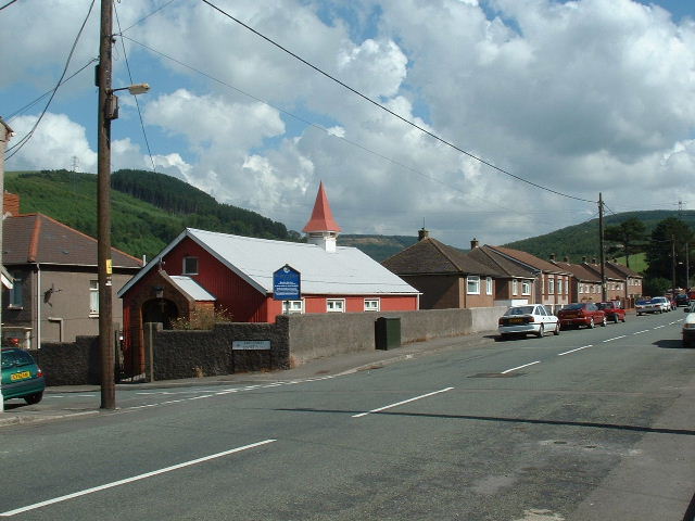
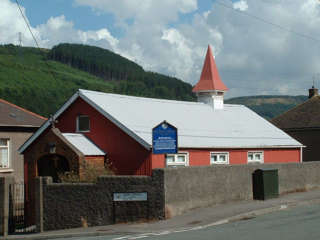
The hamlet is sparsely populated, with only a handful of houses and farms scattered across its landscape. The architecture of the buildings in Lletty Harry is predominantly traditional, reflecting the area's rich history and heritage.
Lletty Harry is known for its close-knit community, with residents often engaging in various communal activities and events. The hamlet benefits from a sense of unity and neighborliness, creating a warm and welcoming atmosphere for both locals and visitors.
The natural beauty of Lletty Harry is a major attraction for tourists and nature enthusiasts. The surrounding countryside provides ample opportunities for outdoor activities such as hiking, biking, and birdwatching. The nearby woodlands offer scenic trails, allowing visitors to explore the area's diverse flora and fauna.
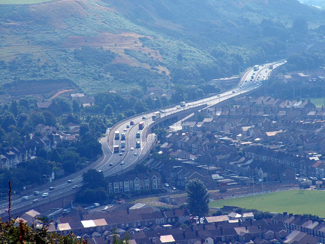
Despite its rural location, Lletty Harry is conveniently connected to nearby towns and cities. The hamlet is within easy reach of the town of Bridgend, which offers a range of amenities including shops, restaurants, and leisure facilities.
Overall, Lletty Harry is a charming and idyllic hamlet that offers a peaceful retreat from the hustle and bustle of city life. Its natural beauty, strong community spirit, and proximity to amenities make it an attractive destination for those seeking a tranquil getaway in the heart of Glamorgan.
If you have any feedback on the listing, please let us know in the comments section below.
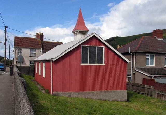
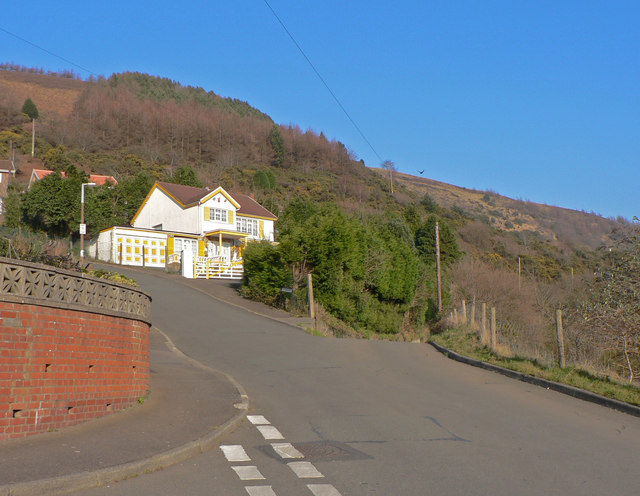
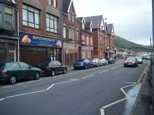
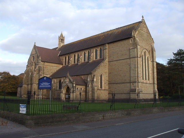
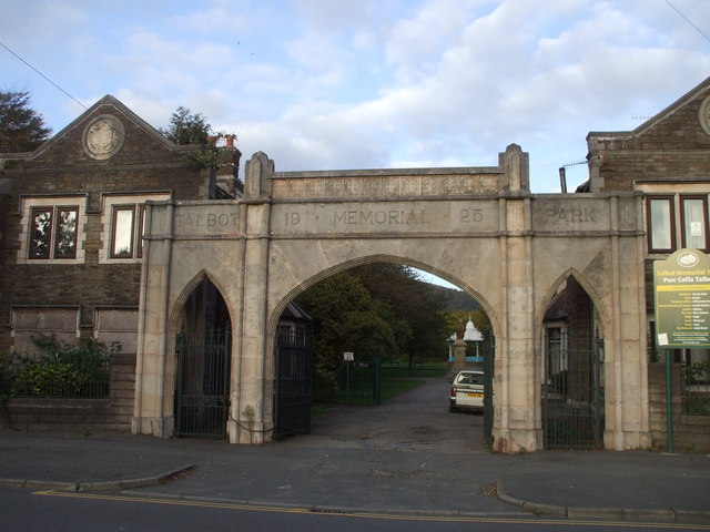
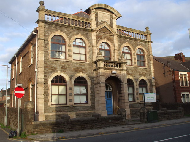
Lletty Harry Images
Images are sourced within 2km of 51.600733/-3.77089 or Grid Reference SS7790. Thanks to Geograph Open Source API. All images are credited.

Lletty Harry is located at Grid Ref: SS7790 (Lat: 51.600733, Lng: -3.77089)
Unitary Authority: Neath Port Talbot
Police Authority: South Wales
Also known as: Llettyharri
What 3 Words
///urgent.zebra.formed. Near Port Talbot, Neath Port Talbot
Nearby Locations
Related Wikis

Mynydd Emroch television relay station
The Mynydd Emroch television relay station is sited on the eponymous hill to the east of Port Talbot. It was originally built in the 1970s as a fill-in...
Trefelin B.G.C.
Trefelin Boys & Girls Club, often shortened to Trefelin BGC, is an association football club who play their home games at Ynys park in Port Talbot, Neath...

Talbot Athletic Ground
The Talbot Athletic Ground is a sports stadium located in central Port Talbot, Wales, with a maximum capacity of 8,000. The ground is home to Welsh rugby...

District of Port Talbot
Port Talbot was one of the four local government districts of the county of West Glamorgan, Wales from 1974 to 1996. The borough was initially called Afan...
Port Talbot Power Station
Port Talbot Power Station was a proposed 1,100–1,300 MW natural gas-fired power station in Port Talbot, situated in Neath Port Talbot county borough, Wales...

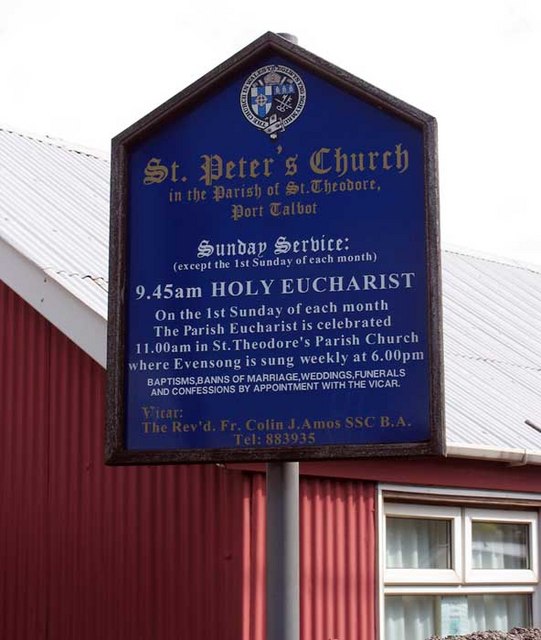
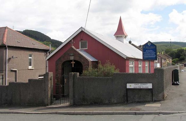
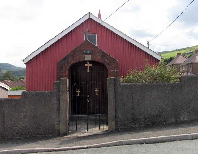
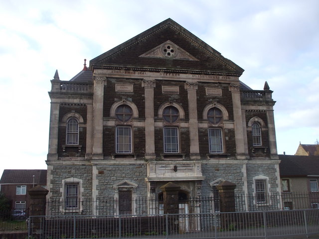
Ebenezer Chapel, Aberavon
Ebenezer Chapel, Aberavon (more correctly, "Ebenezer Baptist Church"), is a Baptist church in Port Talbot, Wales. Built in 1881, it is located in the Civic...
Port Talbot (electoral ward)
The electoral ward of Port Talbot in Neath Port Talbot county borough covers the town centre of Port Talbot and the district of Pen-y-cae. The rest of...

Aberavon Town railway station
Aberavon Town railway station was a railway station on the Rhondda and Swansea Bay line which ran in the Rhondda Valley and Swansea area on the Welsh coast...
Nearby Amenities
Located within 500m of 51.600733,-3.77089Have you been to Lletty Harry?
Leave your review of Lletty Harry below (or comments, questions and feedback).