Velindre

Settlement in Glamorgan

Wales

Velindre

Port Talbot Docks Looking south over the docks and industrial area.
Port Talbot Docks Credit: Chris Shaw

Velindre is a small village located in the county of Glamorgan, Wales. Situated in the picturesque countryside, it lies approximately 8 miles north of the bustling city of Swansea. The village is nestled in the Lower Swansea Valley, surrounded by rolling green hills and offering stunning views of the nearby Brecon Beacons National Park.

Historically, Velindre was primarily an agricultural community and evidence of its farming heritage can still be seen in the surrounding fields and farmland. Today, the village has a population of around 500 residents and retains its charming rural character.

The village boasts a few amenities, including a local pub, a post office, and a small convenience store, providing essential services for the community. The pub, in particular, serves as a social hub where residents can gather and enjoy a friendly atmosphere.

Velindre is an ideal location for nature lovers and outdoor enthusiasts. There are several scenic walking trails that meander through the surrounding countryside, offering opportunities for leisurely strolls or more challenging hikes. The nearby River Tawe also provides a picturesque spot for fishing and other water-related activities.

Despite its tranquil setting, Velindre benefits from its close proximity to Swansea, which offers a wider range of amenities, including shopping centers, restaurants, and cultural attractions. The village is well-connected by road, making it easily accessible for both residents and visitors.

Overall, Velindre is a charming village that offers a peaceful and idyllic lifestyle, surrounded by natural beauty and providing a close-knit community for its residents.

If you have any feedback on the listing, please let us know in the comments section below.
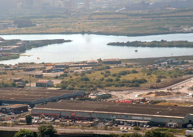
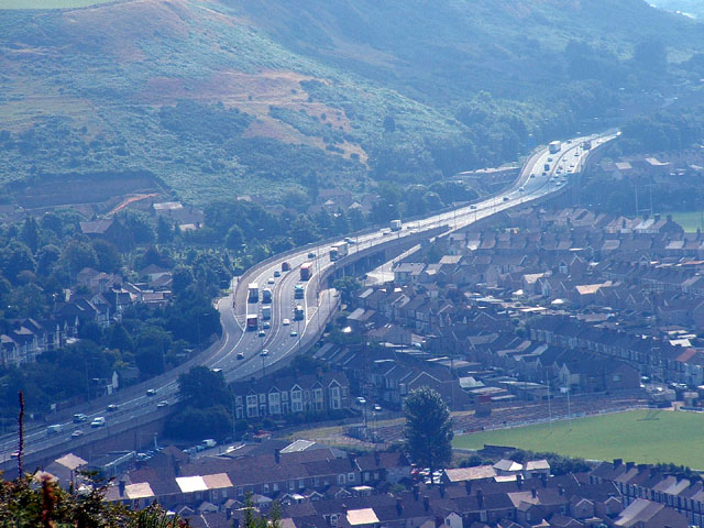
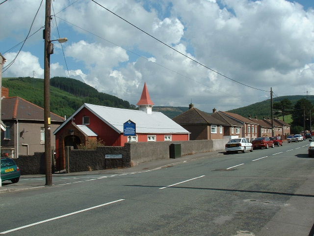
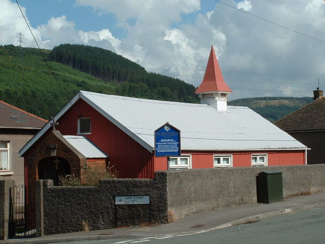
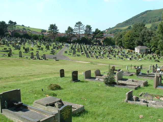
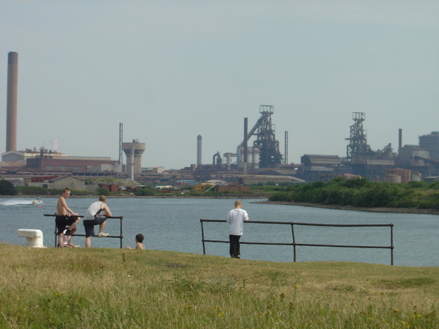
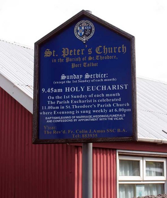
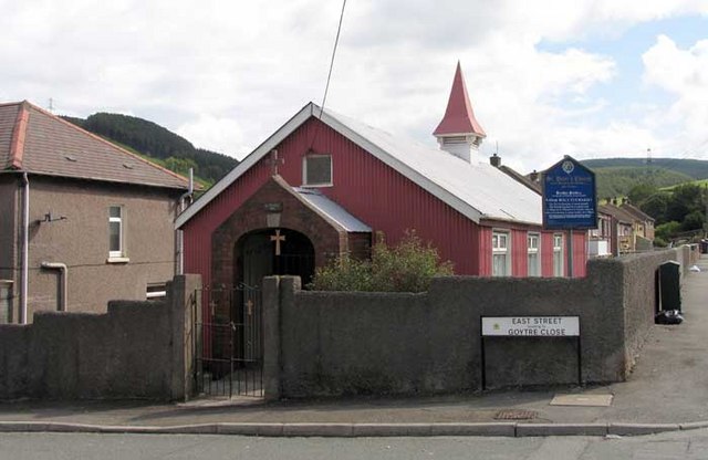
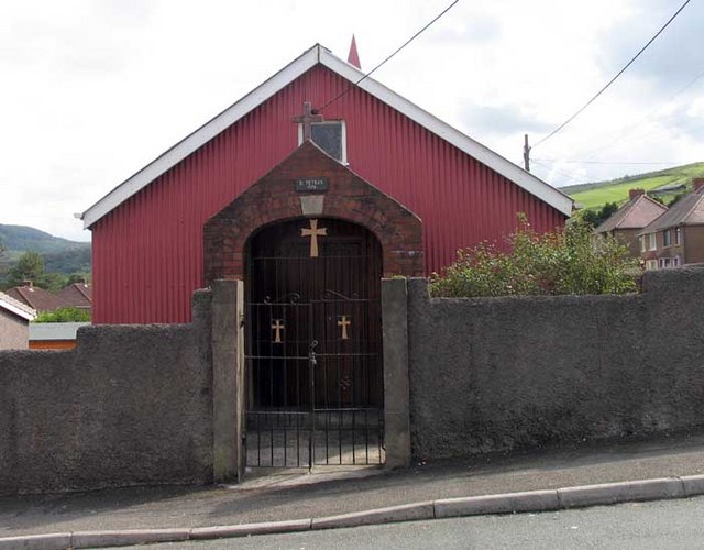
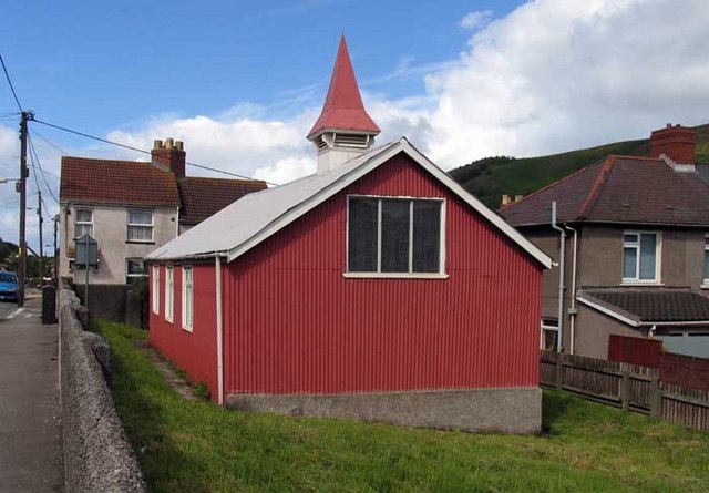
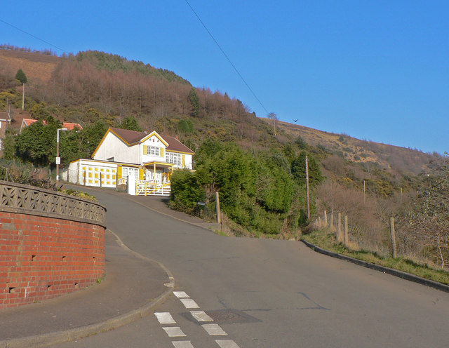
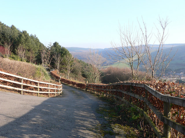
Velindre Images

Images are sourced within 2km of 51.599561/-3.777054 or Grid Reference SS7790. Thanks to Geograph Open Source API. All images are credited.

Port Talbot Docks Looking south over the docks and industrial area.
Port Talbot Docks
Looking south over the docks and industrial area.
M4 Port Talbot J40 Showing elevated motorway and junction 40 dominating the centre of the square.  Viewed from the NW.
M4 Port Talbot J40
Showing elevated motorway and junction 40 dominating the centre of the square. Viewed from the NW.
River Afan Looking North towards bridge
River Afan
Looking North towards bridge
Fishing Boat River Pelenna
Fishing Boat
River Pelenna
Aberavon Bridge See supplemental for plaque details
Aberavon Bridge
See supplemental for plaque details
Bridge Detail
Bridge Detail
St Peters, Goytre Looking NE near centre of square
St Peters, Goytre
Looking NE near centre of square
St Peters (closeup)
St Peters (closeup)
Goytre Cemetery Just part of the extensive cemetery to the East of the village
Goytre Cemetery
Just part of the extensive cemetery to the East of the village
Informal Lido, Port Talbot This former basin at Port Talbot Docks is used officially for water skiing, and more informally as a bathing pool. The blast furnaces of Margam steelworks provide an unusual background to leisure activities.
Informal Lido, Port Talbot
This former basin at Port Talbot Docks is used officially for water skiing, and more informally as a bathing pool. The blast furnaces of Margam steelworks provide an unusual background to leisure activities.
Stone processing plant, Port Talbot Docks This appears to be the only remaining commercial traffic using the docks, which were originally built primarily for the export of coal.
Stone processing plant, Port Talbot Docks
This appears to be the only remaining commercial traffic using the docks, which were originally built primarily for the export of coal.
Bridge over the Afon into Port Talbot docks
St Peter, Goytre, Glamorgan
Broomhill, Pen-y-cae On the edge of the small hillside village of Pen-y-cae this road leads to a lane to the top of Mynydd Emroch.  The 'road', to the right, is little more than a paved track that rather contradicts its status on the map.
Broomhill, Pen-y-cae
On the edge of the small hillside village of Pen-y-cae this road leads to a lane to the top of Mynydd Emroch. The 'road', to the right, is little more than a paved track that rather contradicts its status on the map.
Across Cwm Dyffryn from Pen-y-cae
Show me another place!

Velindre is located at Grid Ref: SS7790 (Lat: 51.599561, Lng: -3.777054)

Unitary Authority: Neath Port Talbot

Police Authority: South Wales

What 3 Words

///hotels.insect.spirit. Near Port Talbot, Neath Port Talbot

Related Wikis

District of Port Talbot

Port Talbot was one of the four local government districts of the county of West Glamorgan, Wales from 1974 to 1996. The borough was initially called Afan...

Port Talbot Power Station

Port Talbot Power Station was a proposed 1,100–1,300 MW natural gas-fired power station in Port Talbot, situated in Neath Port Talbot county borough, Wales...

Ebenezer Chapel, Aberavon

Ebenezer Chapel, Aberavon (more correctly, "Ebenezer Baptist Church"), is a Baptist church in Port Talbot, Wales. Built in 1881, it is located in the Civic...

Aberavon Town railway station

Aberavon Town railway station was a railway station on the Rhondda and Swansea Bay line which ran in the Rhondda Valley and Swansea area on the Welsh coast...

Nearby Amenities

Located within 500m of 51.599561,-3.777054
Man Made: surveillance
Ref: 157/4900
Surveillance: traffic
Url: http://members.traffic-wales.com/cctvimages/camera157.jpg
Lat/Long: 51.5957424/-3.7748928
Mini Roundabout
Direction: clockwise
Lat/Long: 51.5980056/-3.7749799
Traffic Calming: yes
Lat/Long: 51.5988648/-3.7743236
Noexit: yes
Lat/Long: 51.6010438/-3.7745658
Noexit: yes
Lat/Long: 51.6010271/-3.7743295
Traffic Calming: yes
Lat/Long: 51.6019349/-3.7743703
Noexit: yes
Lat/Long: 51.6018249/-3.7750573
Noexit: yes
Lat/Long: 51.6016762/-3.7749607
Noexit: yes
Lat/Long: 51.602188/-3.7754242
Noexit: yes
Lat/Long: 51.6027797/-3.7757332
Noexit: yes
Lat/Long: 51.6026784/-3.7754328
Place Of Worship
St. Agnes's
Addr City: Port Talbot
Addr Postcode: SA13 1PJ
Addr Street: Forge Road
Denomination: anglican
Religion: christian
Lat/Long: 51.5963995/-3.780744
Forge Stores
Shop: convenience
Lat/Long: 51.5964258/-3.7785819
Post Box
Brand: Royal Mail
Brand Wikidata: Q638098
Collection Times: Mo-Fr 17:15; Sa 10:00
Operator: Royal Mail
Operator Wikidata: Q638098
Post Box Type: pillar
Ref: SA13 12
Royal Cypher: EIIR
Royal Cypher Wikidata: Q33102113
Lat/Long: 51.5963141/-3.7799411
Health Centre
Forge Centre
Healthcare: centre
Lat/Long: 51.5964047/-3.779881
Library
Neath Port Talbot Library and Information Services
Lat/Long: 51.5983642/-3.77666
Noexit: yes
Lat/Long: 51.5986353/-3.7812382
Noexit: yes
Lat/Long: 51.5982692/-3.7743394
Aberavon Branch Junction
Railway: junction
Lat/Long: 51.5974008/-3.7824721
Place Of Worship
Lat/Long: 51.5958502/-3.7763109
Place Of Worship
Lat/Long: 51.5976796/-3.7759354
Traffic Calming: hump
Lat/Long: 51.5982414/-3.7747387
Traffic Calming: chicane
Lat/Long: 51.6008575/-3.772267
Tanygroes West Junction
Railway: junction
Lat/Long: 51.59579/-3.7748957
Bus Stop
Bus: yes
Naptan AtcoCode: 5820AWN26388
Naptan NaptanCode: nptatjd
Public Transport: platform
Lat/Long: 51.6026189/-3.7718432
Speed Camera
Maxspeed: 50 mph
Lat/Long: 51.596147/-3.7751784
Traffic Signals
Crossing: traffic_signals
Crossing Island: no
Kerb: lowered
Tactile Paving: yes
Lat/Long: 51.5978135/-3.7824241
Traffic Signals
Crossing: traffic_signals
Crossing Island: no
Kerb: lowered
Tactile Paving: yes
Lat/Long: 51.5978655/-3.7823796
Street Lamp
Lamp Model: Philips MA60
Lamp Type: low_pressure_sodium
Light Count: 1
Light Power: 180
Source: Mapillary (2019-03-21)
Lat/Long: 51.5954474/-3.7749076
Velindre
Alt Name En: Felindre
Loc Name: Felindre
Name Cy: Felindre
Name En: Velindre
Place: suburb
Wikidata: Q107032526
Lat/Long: 51.5998509/-3.7767421
Street Lamp
Lamp Model: Philips MA60
Lamp Type: low_pressure_sodium
Light Count: 1
Light Power: 180
Source: Mapillary (2019-03-21)
Lat/Long: 51.5959431/-3.7752765
Street Lamp
Lamp Model: Philips MA60
Lamp Type: low_pressure_sodium
Light Count: 1
Light Power: 180
Source: Mapillary (2019-03-21)
Lat/Long: 51.5955038/-3.7745747
Street Lamp
Lamp Model: Philips MA60
Lamp Type: low_pressure_sodium
Light Count: 1
Light Power: 180
Source: Mapillary (2019-03-21)
Lat/Long: 51.5960381/-3.7749463
Street Lamp
Lamp Model: Philips MA60
Lamp Type: low_pressure_sodium
Light Count: 1
Light Power: 180
Source: Mapillary (2019-03-21)
Lat/Long: 51.5966696/-3.7754881
Street Lamp
Lamp Model: Philips MA60
Lamp Type: low_pressure_sodium
Light Count: 1
Light Power: 180
Source: Mapillary (2019-03-21)
Lat/Long: 51.5969212/-3.7758127
Street Lamp
Lamp Model: Philips MA60
Lamp Type: low_pressure_sodium
Light Count: 1
Light Power: 180
Source: Mapillary (2019-03-21)
Lat/Long: 51.5970895/-3.7760782
Street Lamp
Lamp Model: Philips MA60
Lamp Type: low_pressure_sodium
Light Count: 1
Light Power: 180
Source: Mapillary (2019-03-21)
Lat/Long: 51.5972444/-3.7763572
Street Lamp
Lamp Model: Philips MA60
Lamp Type: low_pressure_sodium
Light Count: 1
Light Power: 180
Source: Mapillary (2019-03-21)
Lat/Long: 51.5974194/-3.7767246
Street Lamp
Lamp Model: Philips MA60
Lamp Type: low_pressure_sodium
Light Count: 1
Light Power: 180
Source: Mapillary (2019-03-21)
Lat/Long: 51.5975293/-3.7770492
Street Lamp
Lamp Model: Philips MA60
Lamp Type: low_pressure_sodium
Light Count: 1
Light Power: 180
Source: Mapillary (2019-03-21)
Lat/Long: 51.5976626/-3.7774783
Street Lamp
Lamp Model: Philips MA60
Lamp Type: low_pressure_sodium
Light Count: 1
Light Power: 180
Source: Mapillary (2019-03-21)
Lat/Long: 51.5977809/-3.7779155
Street Lamp
Lamp Model: Philips MA60
Lamp Type: low_pressure_sodium
Light Count: 1
Light Power: 180
Source: Mapillary (2019-03-21)
Lat/Long: 51.5979442/-3.7785459
Street Lamp
Lamp Model: Philips MA60
Lamp Type: low_pressure_sodium
Light Count: 1
Light Power: 180
Source: Mapillary (2019-03-21)
Lat/Long: 51.5981191/-3.7792566
Street Lamp
Lamp Model: Philips MA60
Lamp Type: low_pressure_sodium
Light Count: 1
Light Power: 180
Source: Mapillary (2019-03-21)
Lat/Long: 51.5982824/-3.7799701
Street Lamp
Lamp Model: Philips MA60
Lamp Type: low_pressure_sodium
Light Count: 1
Light Power: 180
Source: Mapillary (2019-03-21)
Lat/Long: 51.5984224/-3.7806916
Street Lamp
Lamp Model: Philips MA60
Lamp Type: low_pressure_sodium
Light Count: 1
Light Power: 180
Source: Mapillary (2019-03-21)
Lat/Long: 51.5985273/-3.7813756
Street Lamp
Lamp Model: Philips MA60
Lamp Type: low_pressure_sodium
Light Count: 1
Light Power: 180
Source: Mapillary (2019-03-21)
Lat/Long: 51.598614/-3.7821829
Street Lamp
Lamp Model: Philips MA60
Lamp Type: low_pressure_sodium
Light Count: 1
Light Power: 180
Source: Mapillary (2019-03-21)
Lat/Long: 51.5986723/-3.7829581
Street Lamp
Lamp Model: Philips MA60
Lamp Type: low_pressure_sodium
Light Count: 1
Light Power: 180
Source: Mapillary (2019-03-21)
Lat/Long: 51.5987023/-3.7837467
Street Lamp
Lamp Model: Philips MA60
Lamp Type: low_pressure_sodium
Light Count: 1
Light Power: 180
Source: Mapillary (2019-03-21)
Lat/Long: 51.5964113/-3.7752199
Street Lamp
Lamp Model: Philips MA60
Lamp Type: low_pressure_sodium
Light Count: 1
Light Power: 180
Source: Mapillary (2019-03-21)
Lat/Long: 51.5965286/-3.7758035
Street Lamp
Lamp Model: Philips MA60
Lamp Type: low_pressure_sodium
Light Count: 1
Light Power: 180
Source: Mapillary (2019-03-21)
Lat/Long: 51.5963028/-3.7755685
Street Lamp
Lamp Model: Philips MA60
Lamp Type: low_pressure_sodium
Light Count: 1
Light Power: 180
Source: Mapillary (2019-03-21)
Lat/Long: 51.5967729/-3.7761211
Street Lamp
Lamp Model: Philips MA60
Lamp Type: low_pressure_sodium
Light Count: 1
Light Power: 180
Source: Mapillary (2019-03-21)
Lat/Long: 51.5969395/-3.7763706
Street Lamp
Lamp Model: Philips MA60
Lamp Type: low_pressure_sodium
Light Count: 1
Light Power: 180
Source: Mapillary (2019-03-21)
Lat/Long: 51.5971345/-3.7767434
Street Lamp
Lamp Model: Philips MA60
Lamp Type: low_pressure_sodium
Light Count: 1
Light Power: 180
Source: Mapillary (2019-03-21)
Lat/Long: 51.597366/-3.7772986
Street Lamp
Lamp Model: Philips MA60
Lamp Type: low_pressure_sodium
Light Count: 1
Light Power: 180
Source: Mapillary (2019-03-21)
Lat/Long: 51.5975427/-3.7779021
Street Lamp
Lamp Model: Philips MA60
Lamp Type: low_pressure_sodium
Light Count: 1
Light Power: 180
Source: Mapillary (2019-03-21)
Lat/Long: 51.5977459/-3.7786719
Street Lamp
Lamp Model: Philips MA60
Lamp Type: low_pressure_sodium
Light Count: 1
Light Power: 180
Source: Mapillary (2019-03-21)
Lat/Long: 51.5979175/-3.7793317
Street Lamp
Lamp Model: Philips MA60
Lamp Type: low_pressure_sodium
Light Count: 1
Light Power: 180
Source: Mapillary (2019-03-21)
Lat/Long: 51.5980842/-3.7800694
Street Lamp
Lamp Model: Philips MA60
Lamp Type: low_pressure_sodium
Light Count: 1
Light Power: 180
Source: Mapillary (2019-03-21)
Lat/Long: 51.5982308/-3.7807882
Street Lamp
Lamp Model: Philips MA60
Lamp Type: low_pressure_sodium
Light Count: 1
Light Power: 180
Source: Mapillary (2019-03-21)
Lat/Long: 51.5983207/-3.7814131
Street Lamp
Lamp Model: Philips MA60
Lamp Type: low_pressure_sodium
Light Count: 1
Light Power: 180
Source: Mapillary (2019-03-21)
Lat/Long: 51.5984107/-3.7821722
Street Lamp
Lamp Model: Philips MA60
Lamp Type: low_pressure_sodium
Light Count: 1
Light Power: 180
Source: Mapillary (2019-03-21)
Lat/Long: 51.5984657/-3.7829527
Street Lamp
Lamp Model: Philips MA60
Lamp Type: low_pressure_sodium
Light Count: 1
Light Power: 180
Source: Mapillary (2019-03-21)
Lat/Long: 51.598489/-3.7836823
Crossing
Lat/Long: 51.5978848/-3.7827333
Give Way
Lat/Long: 51.5968831/-3.7772872
Give Way
Lat/Long: 51.5968301/-3.7772212
Give Way
Lat/Long: 51.5963299/-3.7766801
Give Way
Lat/Long: 51.5963715/-3.7765941
Give Way
Lat/Long: 51.5957926/-3.7760281
Give Way
Lat/Long: 51.5958619/-3.7759718
Give Way
Lat/Long: 51.5952633/-3.7752248
Power: pole
Lat/Long: 51.6015562/-3.7710303
Power: pole
Lat/Long: 51.6002151/-3.7709954
Power: pole
Lat/Long: 51.5967679/-3.7751609
Barrier: bollard
Bicycle: yes
Foot: yes
Lat/Long: 51.5959444/-3.7792701
Give Way
Direction: forward
Lat/Long: 51.5959032/-3.7798963
Barrier: bollard
Bicycle: yes
Foot: yes
Lat/Long: 51.5960552/-3.7806534
Post Box
Brand: Royal Mail
Brand Wikidata: Q638098
Collection Times: Mo-Fr 09:00; Sa 07:00
Operator: Royal Mail
Operator Wikidata: Q638098
Post Box Mounting: pier
Post Box Type: lamp
Ref: SA13 31D
Royal Cypher: EIIR
Royal Cypher Wikidata: Q33102113
Lat/Long: 51.5990338/-3.779722
Post Box
Brand: Royal Mail
Brand Wikidata: Q638098
Collection Times: Mo-Fr 09:00; Sa 07:00
Operator: Royal Mail
Operator Wikidata: Q638098
Post Box Mounting: pier
Post Box Type: lamp
Ref: SA13 61D
Royal Cypher: EIIR
Royal Cypher Wikidata: Q33102113
Lat/Long: 51.6009465/-3.7721019
Bus Stop
Bus: yes
Naptan AtcoCode: 5820AWN26324
Naptan NaptanCode: nptdajt
Public Transport: platform
Lat/Long: 51.5981237/-3.783756
Bus Stop
Bus: yes
Naptan AtcoCode: 5820AWN26334
Naptan NaptanCode: nptdajw
Public Transport: platform
Lat/Long: 51.5982249/-3.7833745
Direction: SW
Generator Method: photovoltaic
Generator Output Electricity: yes
Generator Solar Modules: 10
Generator Source: solar
Generator Type: solar_photovoltaic_panel
Location: roof
Power: generator
Lat/Long: 51.6010991/-3.7759944
Direction: S
Generator Method: photovoltaic
Generator Output Electricity: yes
Generator Solar Modules: 16
Generator Source: solar
Generator Type: solar_photovoltaic_panel
Location: roof
Power: generator
Lat/Long: 51.5991863/-3.7770492
Direction: WSW
Generator Method: photovoltaic
Generator Output Electricity: yes
Generator Solar Modules: 9
Generator Source: solar
Generator Type: solar_photovoltaic_panel
Location: roof
Power: generator
Lat/Long: 51.5978142/-3.7801699
Direction: SSE
Generator Method: photovoltaic
Generator Output Electricity: yes
Generator Solar Modules: 6
Generator Source: solar
Generator Type: solar_photovoltaic_panel
Location: roof
Power: generator
Lat/Long: 51.5978092/-3.7802276
Direction: 145
Generator Method: photovoltaic
Generator Output Electricity: yes
Generator Solar Modules: 9
Generator Source: solar
Generator Type: solar_photovoltaic_panel
Location: roof
Power: generator
Lat/Long: 51.5966663/-3.7761688
Direction: 185
Generator Method: photovoltaic
Generator Output Electricity: yes
Generator Solar Modules: 10
Generator Source: solar
Generator Type: solar_photovoltaic_panel
Location: roof
Power: generator
Lat/Long: 51.5994562/-3.777245
Direction: 195
Generator Method: photovoltaic
Generator Output Electricity: yes
Generator Solar Modules: 14
Generator Source: solar
Generator Type: solar_photovoltaic_panel
Location: roof
Power: generator
Lat/Long: 51.6001718/-3.772358
The data included in this document is from www.openstreetmap.org. The data is made available under ODbL.

Have you been to Velindre?

Leave your review of Velindre below (or comments, questions and feedback).