Llandeilo
Community in Carmarthenshire
Wales
Llandeilo
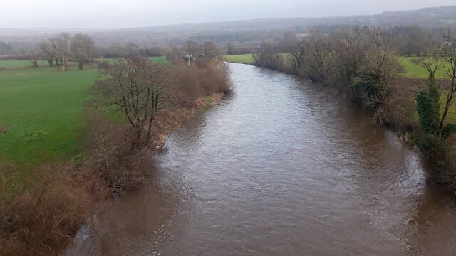
Llandeilo is a community located in Carmarthenshire, a county in south-west Wales. Situated on the River Towy, Llandeilo is a historic market town known for its picturesque landscapes and charming atmosphere.
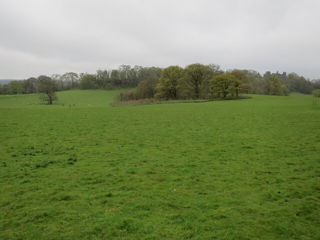
The community has a population of around 2,700 people and is surrounded by stunning natural beauty, including the nearby Brecon Beacons National Park. Llandeilo is approximately 18 miles from the county town of Carmarthen and 50 miles from the capital city of Cardiff.
The town itself is characterized by its well-preserved Georgian and Victorian architecture, which adds to its unique charm. The main street, called Rhosmaen Street, is lined with independent shops, boutiques, cafes, and restaurants, making it a popular destination for locals and visitors alike.
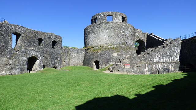
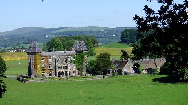
Llandeilo also boasts a rich cultural and historical heritage. The town is home to numerous historic buildings, including Dinefwr Castle, a medieval fortress that sits atop a hill overlooking the town. The castle and its surrounding parkland are now managed by the National Trust and attract many visitors each year.
In addition to its historical significance, Llandeilo hosts various events and festivals throughout the year, including the annual Llandeilo Festival of Music and the Arts. These events showcase local talent in music, art, and literature, further enhancing the community's vibrant cultural scene.
Overall, Llandeilo offers a unique blend of natural beauty, historical significance, and cultural activities, making it a popular destination for those seeking a tranquil and charming experience in Carmarthenshire.
If you have any feedback on the listing, please let us know in the comments section below.
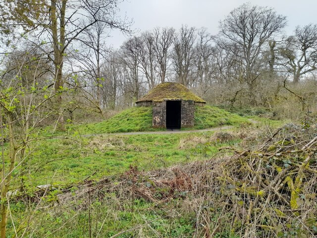
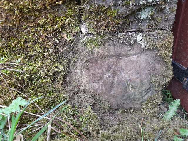
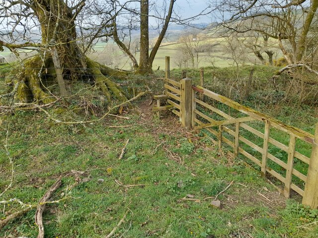
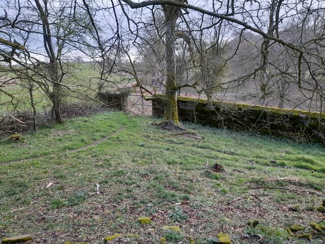
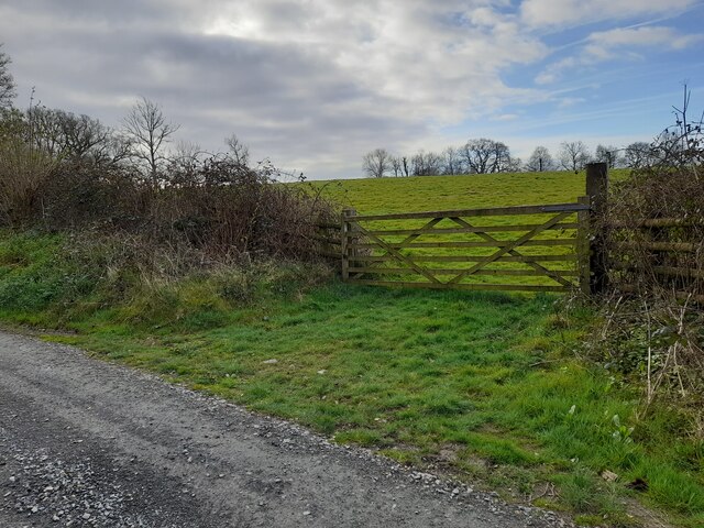
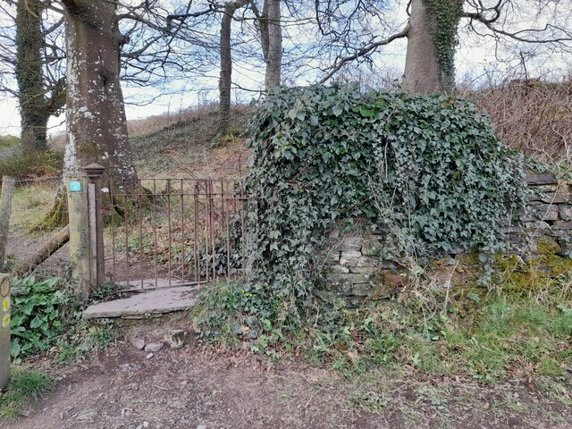
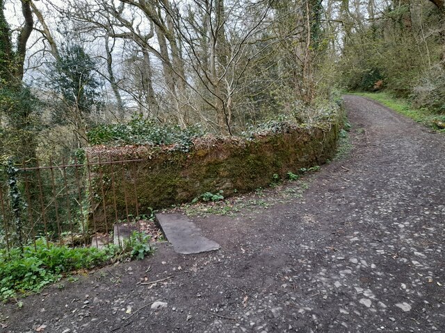
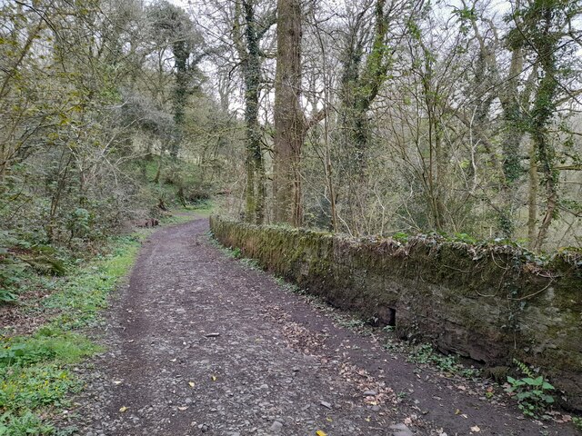
Llandeilo Images
Images are sourced within 2km of 51.883758/-4.009704 or Grid Reference SN6122. Thanks to Geograph Open Source API. All images are credited.
Llandeilo is located at Grid Ref: SN6122 (Lat: 51.883758, Lng: -4.009704)
Unitary Authority: Carmarthenshire
Police Authority: Dyfed-Powys
What 3 Words
///diamond.titles.cycle. Near Llandeilo, Carmarthenshire
Nearby Locations
Related Wikis

District of Dinefwr
Dinefwr was one of six local government districts of the county of Dyfed, Wales from 1974 to 1996. It was named after Dinefwr Castle which in the Middle...

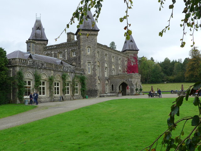
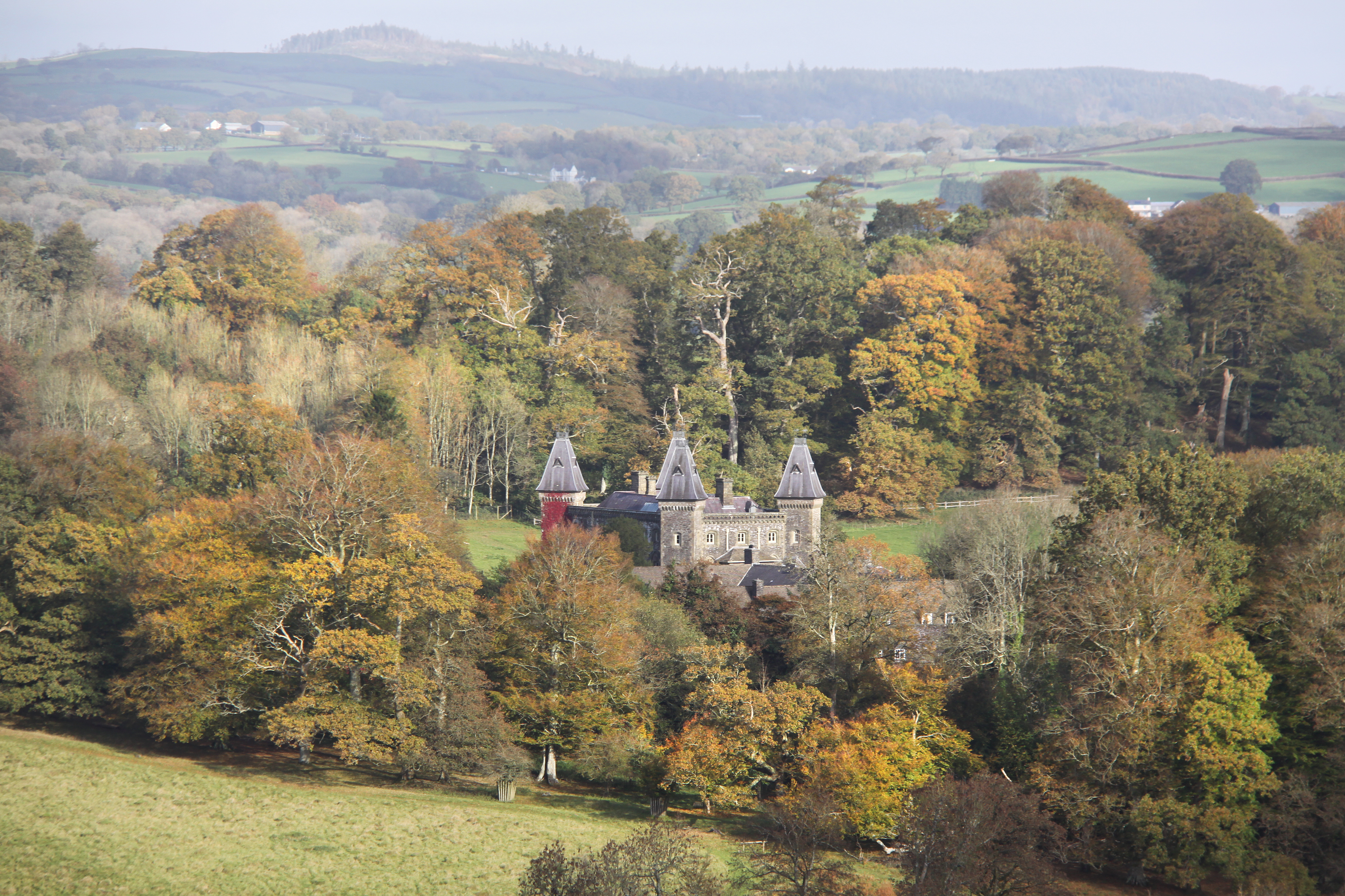
Newton House, Llandeilo
Newton House is a Grade II* listed country house situated just to the west of the market town of Llandeilo in Carmarthenshire, Wales. It is partially owned...
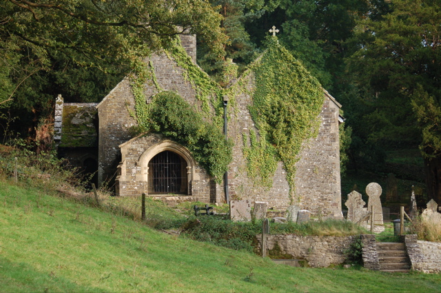
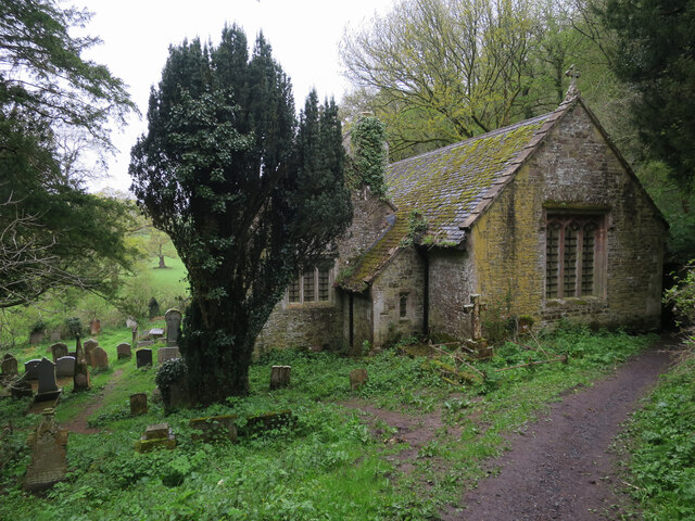
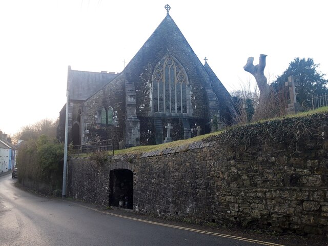
St Tyfi's Church, Llandyfeisant
St Tyfi's Church is the former parish church of Llandyfeisant, near Llandeilo and part of the Dinefwr Park estate in Carmarthenshire, Wales. It was dedicated...
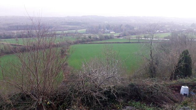
Dinefwr Park National Nature Reserve
Dinefwr Park National Nature Reserve is an 800 acres (320 ha) estate about a mile (1.5 kilometres) from the centre of Llandeilo in Carmarthenshire owned...
Nearby Amenities
Located within 500m of 51.883758,-4.009704Have you been to Llandeilo?
Leave your review of Llandeilo below (or comments, questions and feedback).