Llandinam

Community in Montgomeryshire

Wales

Llandinam

High on the moor at the western edge of the windfarm Gravel riding along the track serving access to the turbines and infrastructure on Waun Lluestowain.
High on the moor at the western edge of the windfarm Credit: Richard Law

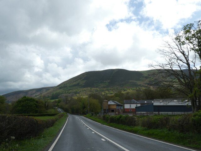
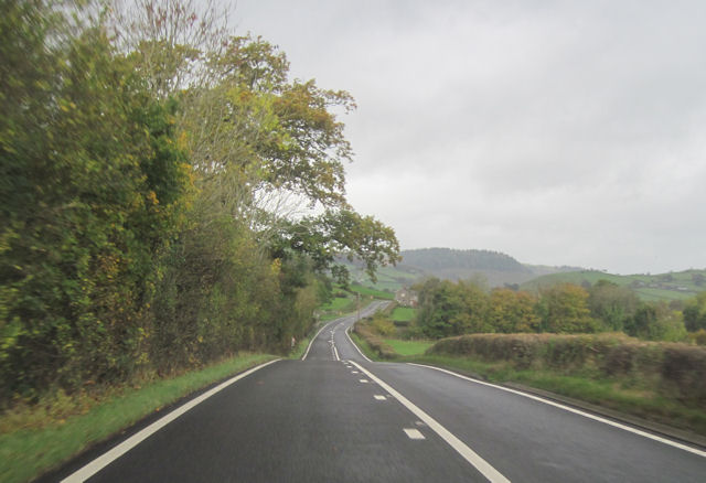
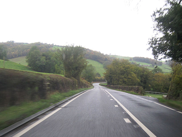
Llandinam is a small community located in the county of Montgomeryshire, Wales. Situated in the heart of the country, it lies on the banks of the River Severn and is surrounded by picturesque countryside and rolling hills. The community covers an area of approximately 15 square miles and is home to a population of around 700 people.

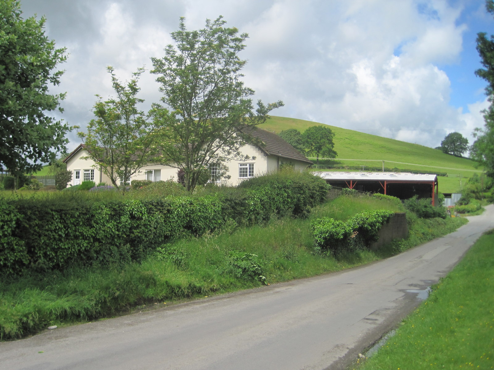
The village of Llandinam itself is a charming and historic settlement, with a rich heritage dating back to medieval times. It is known for its quaint stone cottages and traditional Welsh architecture, which give it a unique character. The community is also famous for being the birthplace of renowned industrialist and philanthropist, David Davies, who played a significant role in the development of the railways in the 19th century.

Llandinam offers a range of amenities and services for its residents, including a primary school, a community hall, and a local pub. The village is well-connected to the surrounding areas by road and public transport, making it easily accessible for both residents and visitors.

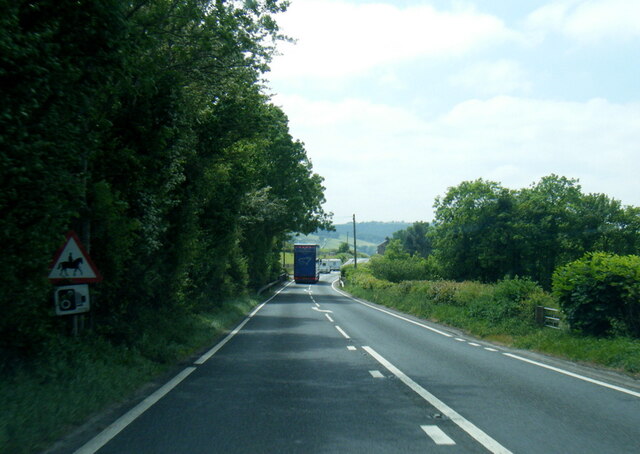
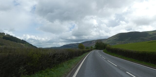
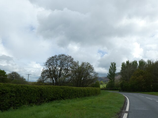
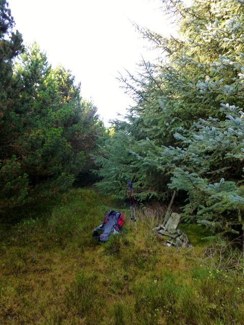
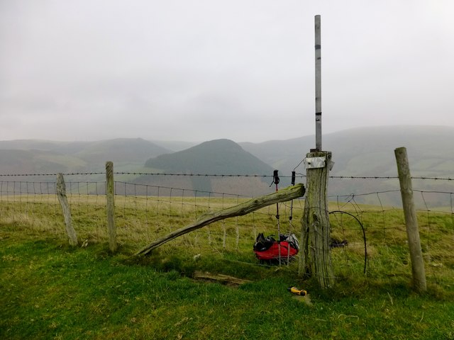
The natural beauty of the area makes Llandinam an attractive destination for outdoor enthusiasts. There are plenty of opportunities for walking, hiking, and cycling in the nearby countryside, as well as fishing and boating on the River Severn. The community is also within close proximity to the Hafren Forest, a popular spot for nature lovers.

Overall, Llandinam is a peaceful and idyllic community that offers a rural retreat for those seeking a slower pace of life and a close connection to nature.

If you have any feedback on the listing, please let us know in the comments section below.

Llandinam Images

Images are sourced within 2km of 52.45348/-3.450564 or Grid Reference SO0184. Thanks to Geograph Open Source API. All images are credited.

High on the moor at the western edge of the windfarm Gravel riding along the track serving access to the turbines and infrastructure on Waun Lluestowain.
High on the moor at the western edge of the windfarm
Gravel riding along the track serving access to the turbines and infrastructure on Waun Lluestowain.
A470 near Glanfeinion
A470 west of Glanfeinion
A470 entering Glanfeinion from west
A470 approaching Pen-rhuddlan Bridge
Trees lining A470 north of Pen-rhuddlan Bridge
A470 approaching Glan-Feinion Southbound A470
A470 approaching Glan-Feinion
Southbound A470
A470 passed Upper Penrhuddlan Entrance to Upper Penrhuddlan to the right
A470 passed Upper Penrhuddlan
Entrance to Upper Penrhuddlan to the right
A470 at Glanfeinon
A470 at Glanfeinon
Y Foel Parked easily to N. Followed track to ruined house. Then enter the forest. At point SO 01678 84331 a small path starts and goes all the way.

Name: Y Foel
Hill number: 5213
Height: 435m / 1427ft
Area: 31B: Welshpool to Hay-on-Wye
Class: Hu
Grid ref: SO 01868 84072
Summit feature: cairn with fence post
Drop: 116m
Col: 319m  SO022842
Y Foel
Parked easily to N. Followed track to ruined house. Then enter the forest. At point SO 01678 84331 a small path starts and goes all the way. Name: Y Foel Hill number: 5213 Height: 435m / 1427ft Area: 31B: Welshpool to Hay-on-Wye Class: Hu Grid ref: SO 01868 84072 Summit feature: cairn with fence post Drop: 116m Col: 319m SO022842
Coed y Gaer Coed y Gaer looking across to wooded summit of Y Foel. 

Name: Coed y Gaer
Hill number: 5223
Height: 362m / 1188ft
Area: 31B: Welshpool to Hay-on-Wye
Class: Hu
Grid ref: SO 00498 84396
Summit feature: ground beside fence
Drop: 120m
Col: 242m  SO005839
Coed y Gaer
Coed y Gaer looking across to wooded summit of Y Foel. Name: Coed y Gaer Hill number: 5223 Height: 362m / 1188ft Area: 31B: Welshpool to Hay-on-Wye Class: Hu Grid ref: SO 00498 84396 Summit feature: ground beside fence Drop: 120m Col: 242m SO005839
Upland scenery viewed from Glyndwr's Way Compelling view.
Upland scenery viewed from Glyndwr's Way
Compelling view.
Quiet rural lane near Ty'n-y-pwll farm Yes, I got lost and walked off Glyndwrs Way, stumbled downhill in a wood, in the rain, with my glasses thoroughly steamed up, finding myself climbing over fences, fording a stream and struggling up a track towards a farm, after narrowly avoiding two large black cows with calves! All in a day's fun and relaxing walking...
Quiet rural lane near Ty'n-y-pwll farm
Yes, I got lost and walked off Glyndwrs Way, stumbled downhill in a wood, in the rain, with my glasses thoroughly steamed up, finding myself climbing over fences, fording a stream and struggling up a track towards a farm, after narrowly avoiding two large black cows with calves! All in a day's fun and relaxing walking...
Rural lane in the rain At the end of my long walk the rain had come and I was completing my day in soggy conditions.
Rural lane in the rain
At the end of my long walk the rain had come and I was completing my day in soggy conditions.
Dolwen railway station (site), Powys Opened in 1859 on the Cambrian Railway's line from Newtown to Brecon, this station closed in 1962.
View north west at what is now a private residence. The platform was on this side of the former station building and the railway crossed the road just to the right of it.
Dolwen railway station (site), Powys
Opened in 1859 on the Cambrian Railway's line from Newtown to Brecon, this station closed in 1962. View north west at what is now a private residence. The platform was on this side of the former station building and the railway crossed the road just to the right of it.
Deciduous woodland below Coed-y-gaer This enclosed but pretty wild and unmanaged patch of deciduous woodland stands beside the lane from Bryn Coch to Nant-y-filldir Bridge, at the foot of Coed-y-gaer (362m).
Deciduous woodland below Coed-y-gaer
This enclosed but pretty wild and unmanaged patch of deciduous woodland stands beside the lane from Bryn Coch to Nant-y-filldir Bridge, at the foot of Coed-y-gaer (362m).
Deciduous woodland near Caerau An enclosed stand of deciduous woodland displays autumn colours beside the lane to Caerau below Coed y gaer.
Deciduous woodland near Caerau
An enclosed stand of deciduous woodland displays autumn colours beside the lane to Caerau below Coed y gaer.
Disused quarry near Caerau This small disused quarry stands beside the lane to Caerau on the lower slopes of Coed y Gaer.  The stone is very shaley and friable and appears to have been quarried for farm tracks and general hardcore.
Disused quarry near Caerau
This small disused quarry stands beside the lane to Caerau on the lower slopes of Coed y Gaer. The stone is very shaley and friable and appears to have been quarried for farm tracks and general hardcore.
Show me another place!

Llandinam is located at Grid Ref: SO0184 (Lat: 52.45348, Lng: -3.450564)

Unitary Authority: Powys

Police Authority: Dyfed Powys

What 3 Words

///masts.rejected.surfaces. Near Llanidloes, Powys

Related Wikis

Dolwen railway station

Dolwen railway station was a station to the southwest of Llandinam, Powys, Wales. The station was opened in 1859 and closed in 1963. The station building...

Penystrywad

Penystrywad is a village near Llandinam in Powys, central Wales, between Newtown and Llanidloes, located on the A470.

Llandinam

Llandinam () is a village and community in Montgomeryshire, Powys, central Wales, between Newtown and Llanidloes, located on the A470. As a community,...

Llandinam railway station

Llandinam railway station was a station serving Llandinam, Powys, on the Llanidloes and Newtown Railway (L&NR) line. The L&NR was authorised in August...

Nearby Amenities

Located within 500m of 52.45348,-3.450564
Allt-Y-Moch
Natural: peak
Lat/Long: 52.4544257/-3.443643
Building: yes
Lat/Long: 52.4494569/-3.4503604
Building: yes
Lat/Long: 52.4522423/-3.4513689
The data included in this document is from www.openstreetmap.org. The data is made available under ODbL.

Have you been to Llandinam?

Leave your review of Llandinam below (or comments, questions and feedback).