Llandegla
Community in Denbighshire
Wales
Llandegla

The requested URL returned error: 429 Too Many Requests
If you have any feedback on the listing, please let us know in the comments section below.
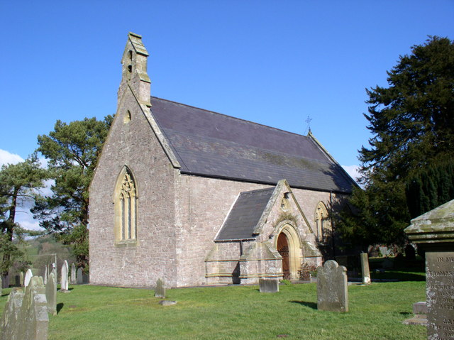
Llandegla Images
Images are sourced within 2km of 53.054121/-3.182141 or Grid Reference SJ2051. Thanks to Geograph Open Source API. All images are credited.


Llandegla is located at Grid Ref: SJ2051 (Lat: 53.054121, Lng: -3.182141)
Unitary Authority: Denbighshire
Police Authority: North Wales
What 3 Words
///strutted.school.receive. Near Llandegla, Denbighshire
Nearby Locations
Related Wikis
Llandegla
Llandegla or Llandegla-yn-Iâl is a village and community in the county of Denbighshire in Wales. In the 2011 census, the community had a population of...

Llandegla Forest
Llandegla Forest (Welsh: Coed Llandegla) is a forest of planted conifers covering 2.5 sq miles (6.5 km2) in Denbighshire, north-east Wales. It is situated...
Chwarel Pant Glas
Chwarel Pant Glas is a Site of Special Scientific Interest in the preserved county of Clwyd, north Wales. == See also == List of Sites of Special Scientific...

Ruabon Moors
The Ruabon Moors are an area of upland moorland in Wales to the west of Ruabon and Wrexham. They lie partly within Wrexham County Borough and partly within...
Nearby Amenities
Located within 500m of 53.054121,-3.182141Have you been to Llandegla?
Leave your review of Llandegla below (or comments, questions and feedback).