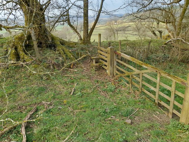
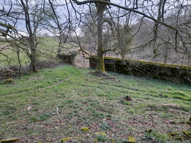
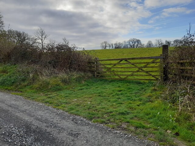
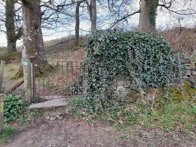
Bog Wood
Wood, Forest in Carmarthenshire
Wales
Bog Wood
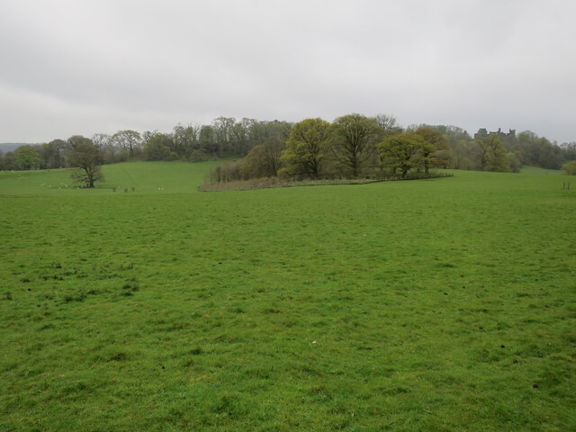
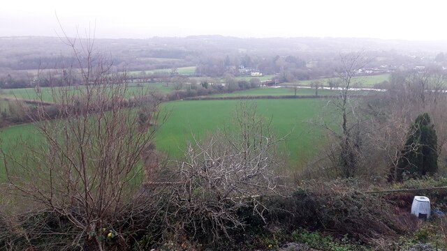
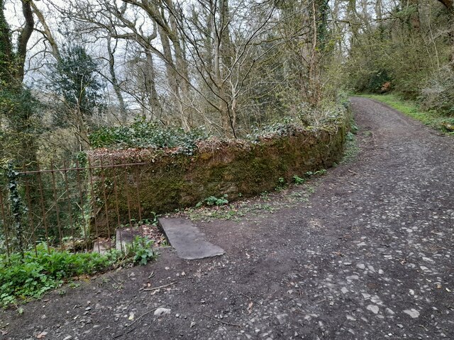
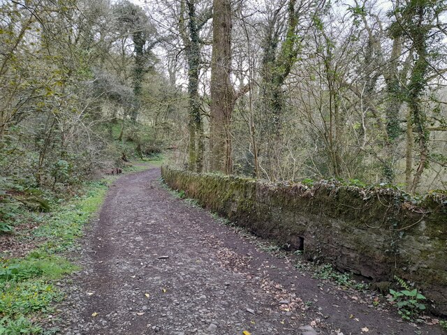
Bog Wood, located in Carmarthenshire, Wales, is a picturesque forest renowned for its natural beauty and rich biodiversity. Covering an area of approximately 100 hectares, it is one of the largest woodlands in the region. The forest is predominantly composed of ancient oak trees, some of which are estimated to be over 500 years old, giving it an enchanting and timeless atmosphere.
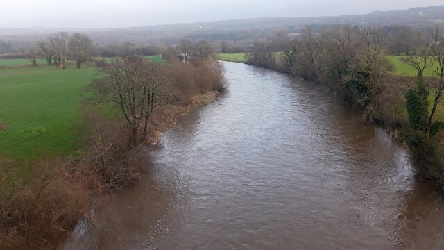
The name "Bog Wood" derives from the unique wetland areas that can be found within the forest. These boggy areas are characterized by the presence of peat, creating a distinct habitat for a variety of flora and fauna. The wetland environment supports a diverse range of plant species, including sundews, cotton grass, and orchids, attracting numerous insects and bird species.
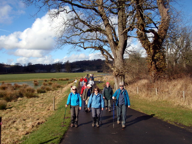
The forest is crisscrossed with well-maintained trails, making it an ideal location for nature enthusiasts and hikers to explore. Visitors have the opportunity to observe a plethora of wildlife, such as red squirrels, foxes, and a wide variety of bird species, including woodpeckers and owls.
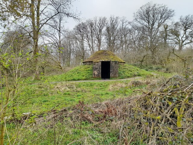
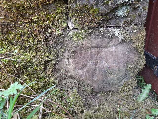
Bog Wood also holds historical significance, with remnants of ancient settlements and burial sites scattered throughout the area. Archaeological excavations have revealed artifacts dating back to the Iron Age, providing valuable insights into the region's past.
Overall, Bog Wood in Carmarthenshire offers a unique combination of natural beauty, diverse ecosystems, and historical significance, making it a must-visit destination for both locals and tourists seeking a captivating woodland experience.
If you have any feedback on the listing, please let us know in the comments section below.
Bog Wood Images
Images are sourced within 2km of 51.880073/-4.0180699 or Grid Reference SN6122. Thanks to Geograph Open Source API. All images are credited.
Bog Wood is located at Grid Ref: SN6122 (Lat: 51.880073, Lng: -4.0180699)
Unitary Authority: Carmarthenshire
Police Authority: Dyfed Powys
What 3 Words
///game.blockage.whizzed. Near Llandeilo, Carmarthenshire
Nearby Locations
Related Wikis
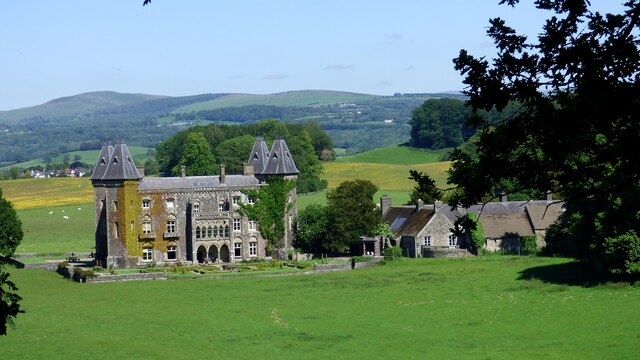
Dinefwr Park National Nature Reserve
Dinefwr Park National Nature Reserve is an 800 acres (320 ha) estate about a mile (1.5 kilometres) from the centre of Llandeilo in Carmarthenshire owned...

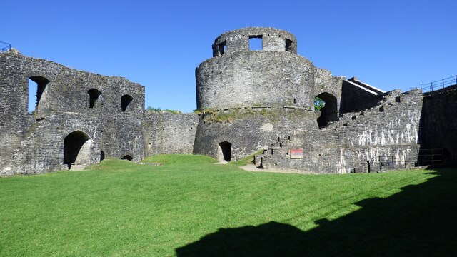
Dinefwr Castle
Dinefwr Castle (also known as Old Dynevor Castle) is a ruined castle overlooking the River Towy near the town of Llandeilo, Carmarthenshire, Wales. It...

Deheubarth
Deheubarth (Welsh pronunciation: [dɛˈhəɨbarθ]; lit. 'Right-hand Part', thus 'the South') was a regional name for the realms of south Wales, particularly...

District of Dinefwr
Dinefwr was one of six local government districts of the county of Dyfed, Wales from 1974 to 1996. It was named after Dinefwr Castle which in the Middle...

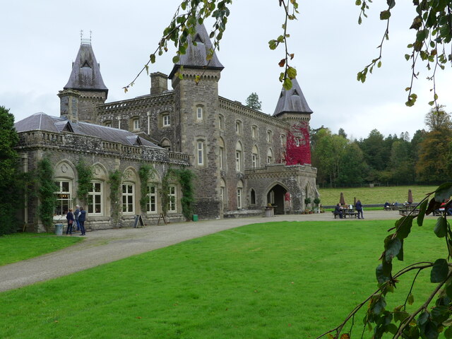
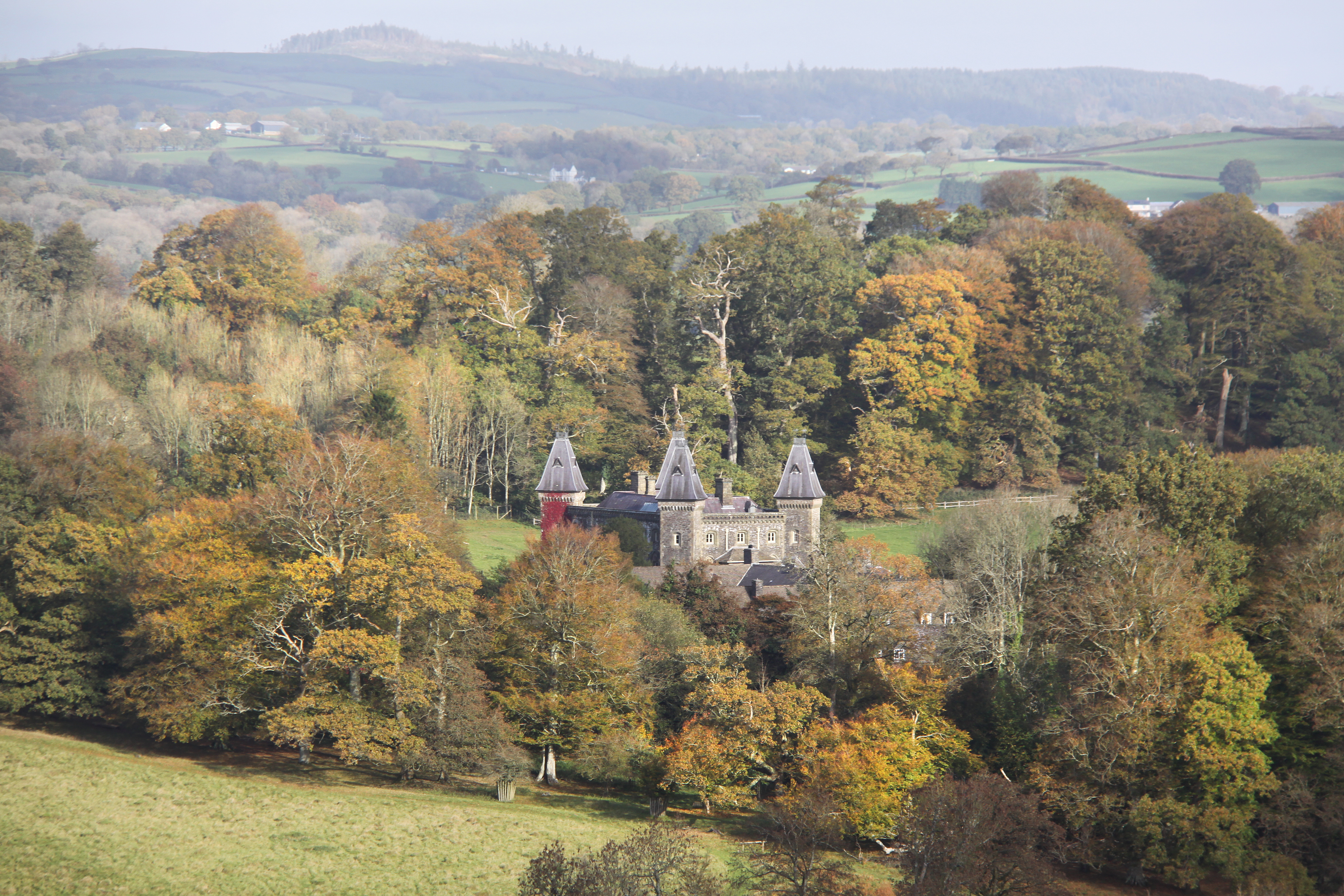
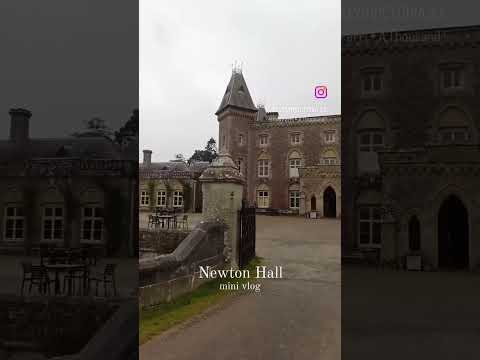
Newton House, Llandeilo
Newton House is a Grade II* listed country house situated just to the west of the market town of Llandeilo in Carmarthenshire, Wales. It is partially owned...
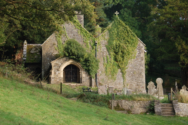
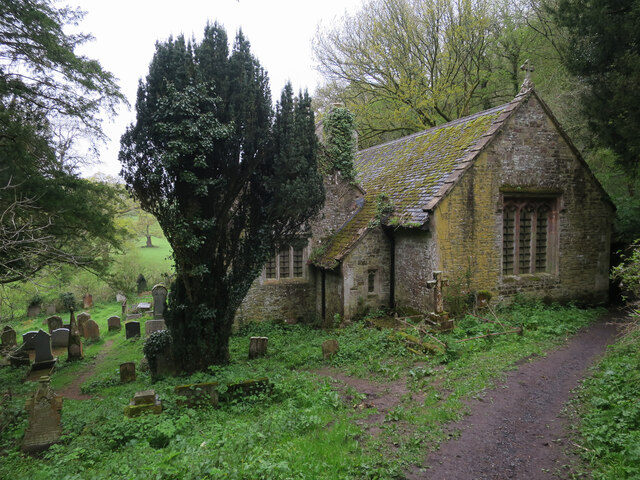
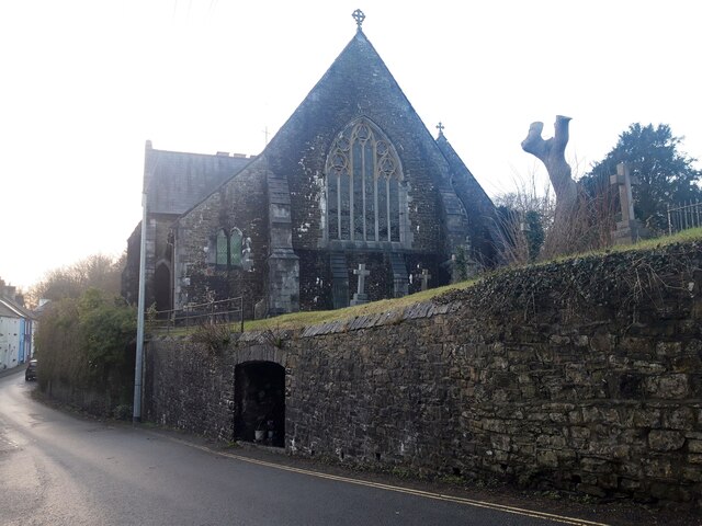
St Tyfi's Church, Llandyfeisant
St Tyfi's Church is the former parish church of Llandyfeisant, near Llandeilo and part of the Dinefwr Park estate in Carmarthenshire, Wales. It was dedicated...

Ysgol Bro Dinefwr
Ysgol Bro Dinefwr is a bilingual secondary school for pupils aged 11–19 in Ffairfach, Carmarthenshire. As of 2016, the school had 1,182 pupils on roll...
Birdshill Quarry
Birdshill Quarry is a Site of Special Scientific Interest (SSSI) in Carmarthenshire, Wales. == SSSI == Birdshill Quarry SSSI is located approximately 1...
Related Videos

Walking around Dinefwr Castle and Estate in Llandeilo #Parklands #Dinefwrcastle #Llandeilo #wales
Thank you for watching one of our videos. Without your continuing support and donations, we would not be able to bring you ...

Reika and friends go on holiday (Part 1)
First of two videos of us on holiday in Wales, great week and Reika got her best friend Lola the Spaniel came along as well.

Nearby Amenities
Located within 500m of 51.880073,-4.0180699Have you been to Bog Wood?
Leave your review of Bog Wood below (or comments, questions and feedback).