Black Wood
Wood, Forest in Merionethshire
Wales
Black Wood
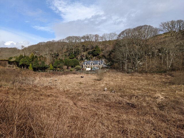
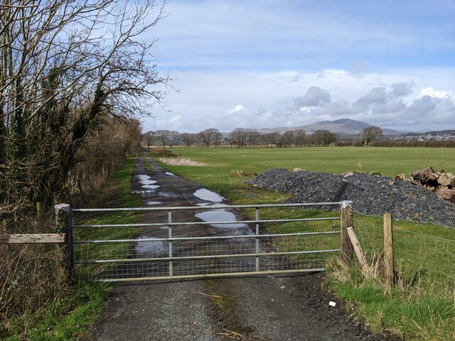
Black Wood is a dense and captivating forest located in the county of Merionethshire, Wales. Spanning over a vast area, this enchanting woodland is known for its rich history and abundant natural beauty. The forest is situated near the small village of Llanbedr and is easily accessible to visitors.
The name "Black Wood" is derived from the dark and mysterious appearance of the trees that dominate the area. These towering coniferous trees, including spruce and pine, create a dense canopy that blankets the forest floor, casting a shadow over the landscape. The forest is also home to a variety of deciduous trees such as oak, beech, and birch, adding to its diverse ecosystem.
Within Black Wood, visitors can explore a network of well-maintained trails that meander through the forest, offering a peaceful and tranquil setting for walking, hiking, or simply immersing oneself in nature. The trails provide breathtaking views of the surrounding mountains and valleys, making it a popular destination for nature enthusiasts and photographers.
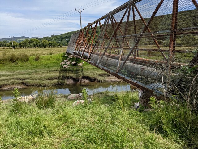
Wildlife thrives in Black Wood, with native species such as red squirrels, badgers, and various bird species calling this forest home. The diverse flora and fauna of the woodland make it an important habitat for biodiversity in the region.
Black Wood is also steeped in history, with remnants of ancient settlements and historical sites scattered throughout the forest. Archaeological findings suggest that the forest has been inhabited for thousands of years, making it a fascinating spot for history enthusiasts.
Overall, Black Wood in Merionethshire offers visitors an immersive and captivating experience, showcasing the beauty of Wales' natural landscapes and providing a glimpse into its rich cultural heritage.
If you have any feedback on the listing, please let us know in the comments section below.
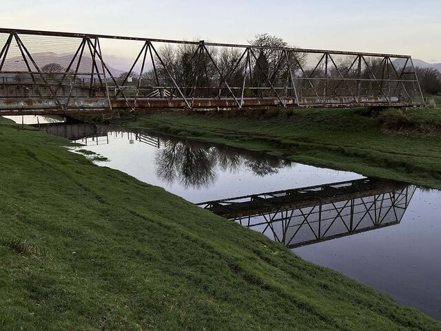
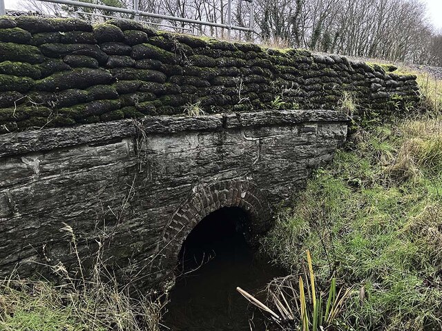
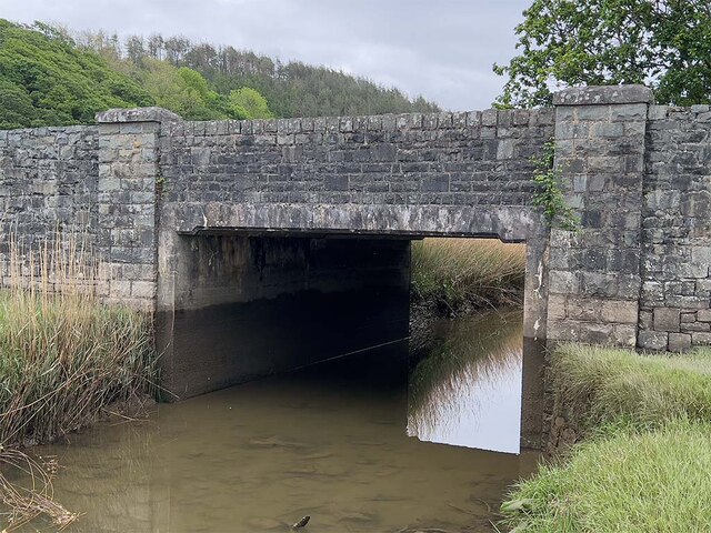
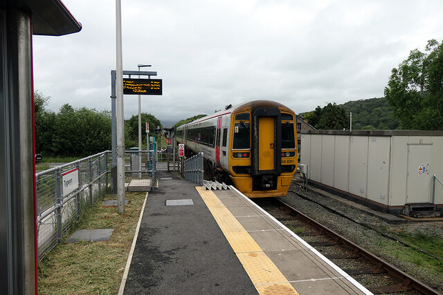
Black Wood Images
Images are sourced within 2km of 52.89303/-4.0646739 or Grid Reference SH6134. Thanks to Geograph Open Source API. All images are credited.


Black Wood is located at Grid Ref: SH6134 (Lat: 52.89303, Lng: -4.0646739)
Unitary Authority: Gwynedd
Police Authority: North Wales
What 3 Words
///elbowing.impose.lies. Near Penrhyndeudraeth, Gwynedd
Nearby Locations
Related Wikis
Eisingrug
Eisingrug (meaning: a place where corn was winnowed after husking) is a rural hamlet near Harlech, Gwynedd, Wales. It is located to the southeast of Porthmadog...

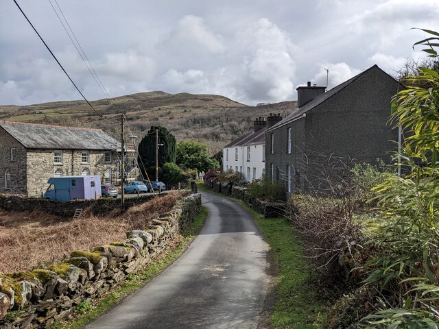
Soar, Gwynedd
Soar is a small village or hamlet in Gwynedd, Wales. It is located about 4 miles (6.4 km) northeast of Harlech, close to Talsarnau and Llandecwyn. It has...

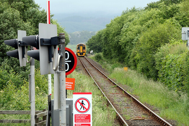
Tygwyn railway station
Tygwyn railway station is located at a level crossing on the A496 between Harlech and Talsarnau near the estuary of the Afon Dwyryd in Gwynedd, Wales....

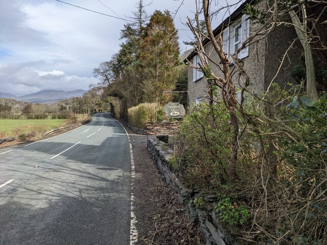
Talsarnau
Talsarnau () is a village and community in the Ardudwy area of Gwynedd in Wales. Its population was 525 in 2001, and had increased to 550 at the 2011...
Nearby Amenities
Located within 500m of 52.89303,-4.0646739Have you been to Black Wood?
Leave your review of Black Wood below (or comments, questions and feedback).