Brideswell

Settlement in Aberdeenshire

Scotland

Brideswell

Minor road approaching Loangarry Looking south-eastward.
Minor road approaching Loangarry Credit: Peter Wood

Brideswell is a small village located in Aberdeenshire, Scotland. Situated approximately 10 miles south of Aberdeen, it is nestled in the scenic countryside, offering residents and visitors a peaceful and picturesque setting to enjoy.

The village is known for its rich history, with evidence of human settlement dating back to prehistoric times. The area has seen various influences throughout the centuries, including Celtic tribes, Vikings, and the Picts.

One of the notable landmarks in Brideswell is the Brideswell Stone, an ancient Pictish symbol stone. The stone is decorated with intricate carvings depicting animals, symbols, and figures, providing a fascinating glimpse into the area's past.

Although small in size, Brideswell offers a few amenities for its residents, including a local pub and a community center. The nearby town of Stonehaven provides additional services and facilities, including shops, supermarkets, schools, and healthcare facilities.

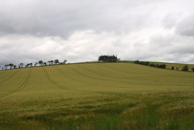
The surrounding countryside of Brideswell is ideal for outdoor enthusiasts, with ample opportunities for hiking, cycling, and exploring the beautiful landscapes. The area is also known for its stunning coastline, with nearby attractions such as Dunnottar Castle and the picturesque Stonehaven Harbour.

Overall, Brideswell is a charming village that offers a tranquil escape from the busyness of city life. With its rich history, beautiful scenery, and proximity to amenities, it is an appealing place to live or visit for those seeking a peaceful rural retreat.

If you have any feedback on the listing, please let us know in the comments section below.
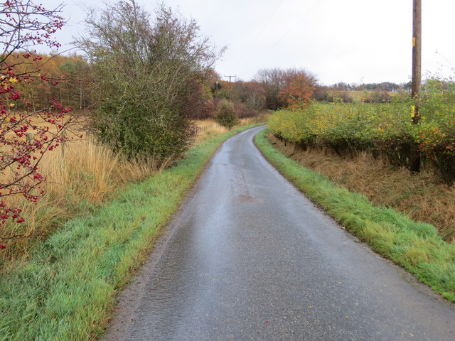
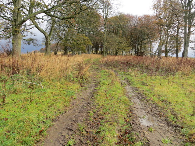
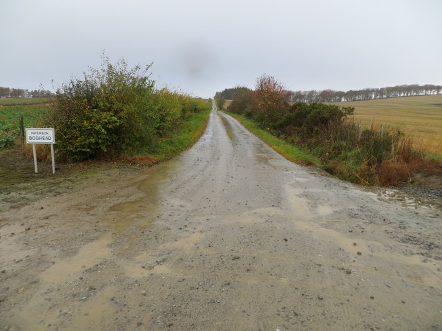
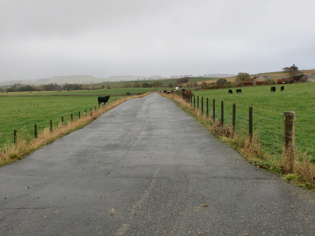
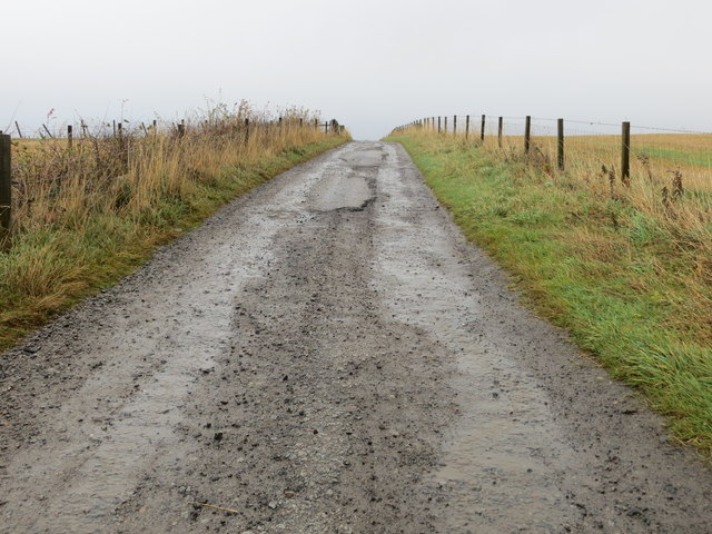
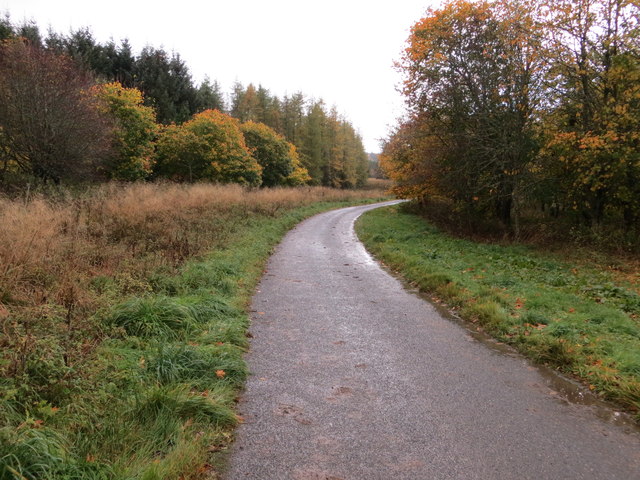
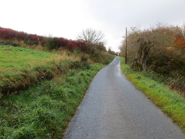
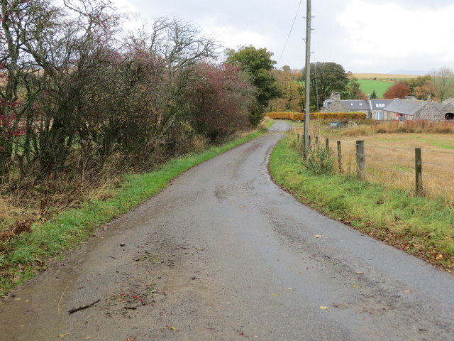
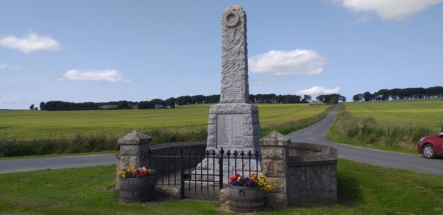
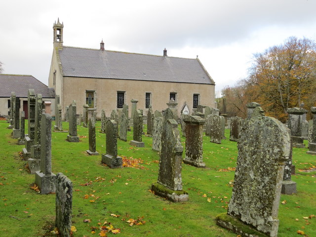
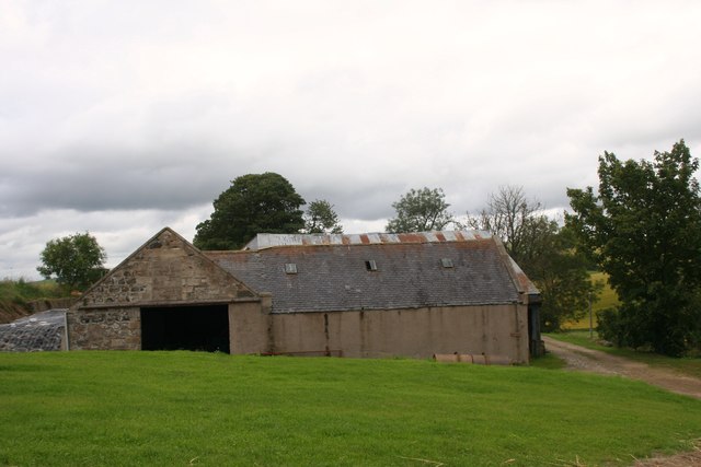
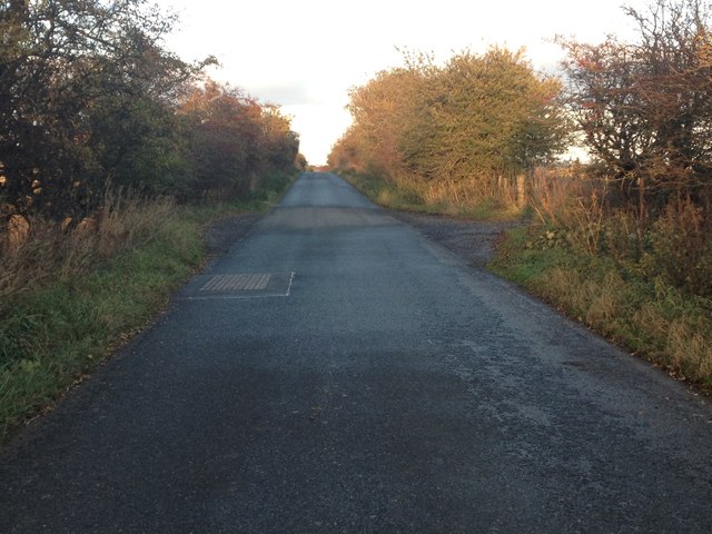
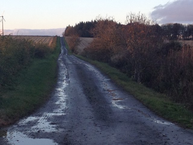
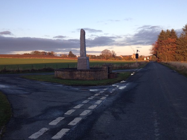
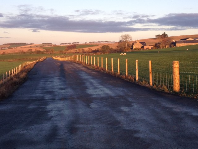
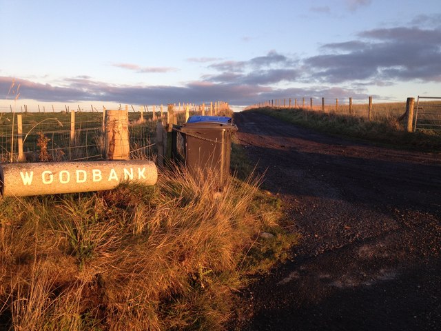
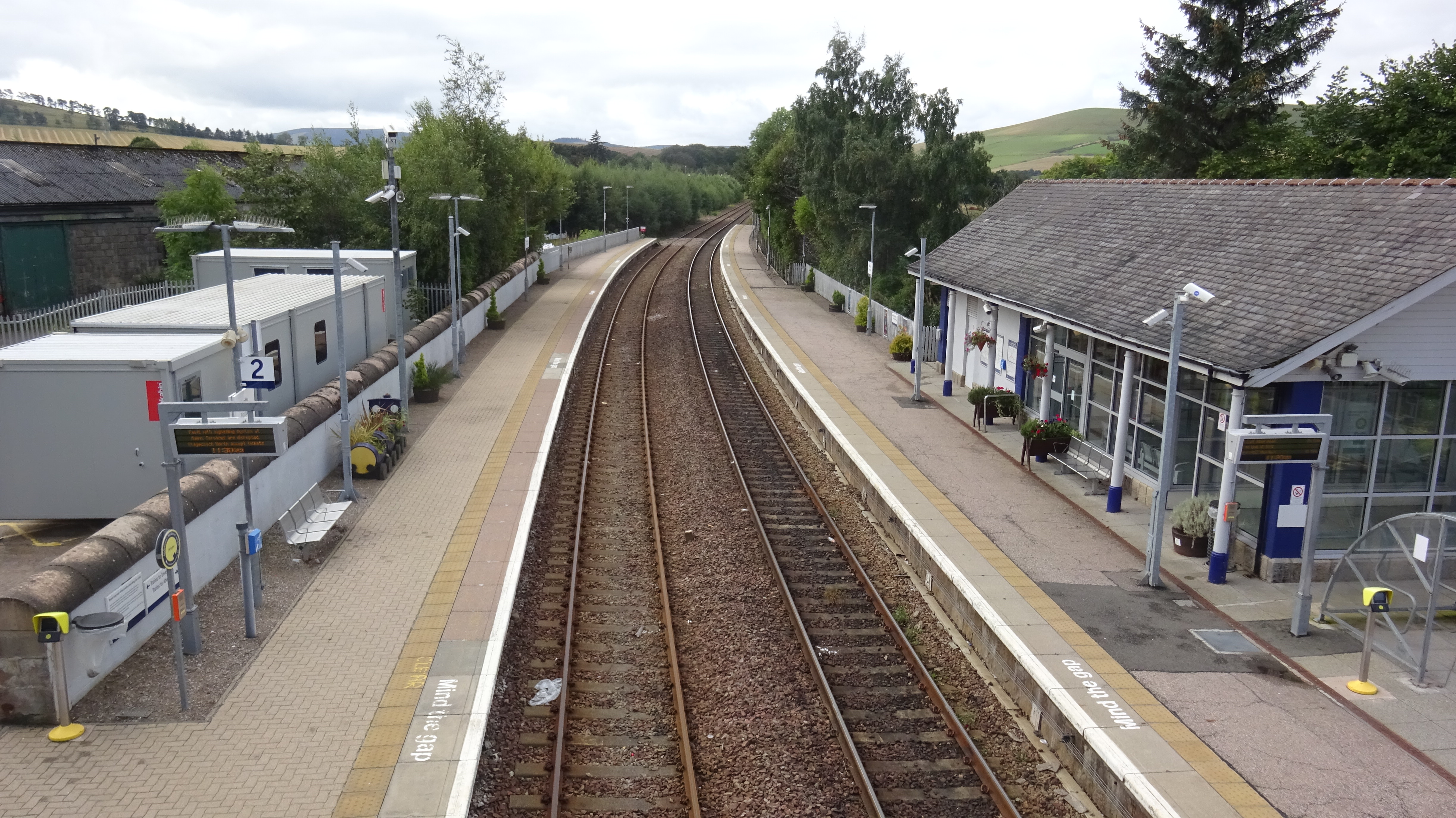
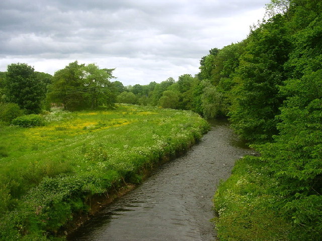
Brideswell Images

Images are sourced within 2km of 57.440909/-2.704823 or Grid Reference NJ5739. Thanks to Geograph Open Source API. All images are credited.

Minor road approaching Loangarry Looking south-eastward.
Minor road approaching Loangarry
Looking south-eastward.
Tree-lined track to Newtongarry Hill Looking north-eastward.
Tree-lined track to Newtongarry Hill
Looking north-eastward.
Hedge-lined farm track to Boghead Looking north-westward.
Hedge-lined farm track to Boghead
Looking north-westward.
Farm track to East Comalegy Looking north-eastward.
Farm track to East Comalegy
Looking north-eastward.
Farm track that leads to Woodbank Looking eastward.
Farm track that leads to Woodbank
Looking eastward.
Minor road near Little Beggshill Looking south-westward.
Minor road near Little Beggshill
Looking south-westward.
Minor road near Little Beggshill Looking north-eastward.
Minor road near Little Beggshill
Looking north-eastward.
Minor road approaching Troupsmill Looking north-westward.
Minor road approaching Troupsmill
Looking north-westward.
Ordnance Survey Flush Bracket 11223 This bracket can be found on the wall of a house - private dwelling - near Knightland Moss. The benchmark height is recorded as being 112.717 metres above sea level.
For more detail see : <span class="nowrap"><a title="https://www.bench-marks.org.uk/bm22140" rel="nofollow ugc noopener" href="https://www.bench-marks.org.uk/bm22140">Link</a><img style="margin-left:2px;" alt="External link" title="External link - shift click to open in new window" src="https://s1.geograph.org.uk/img/external.png" width="10" height="10"/></span>
Ordnance Survey Flush Bracket 11223
This bracket can be found on the wall of a house - private dwelling - near Knightland Moss. The benchmark height is recorded as being 112.717 metres above sea level. For more detail see : LinkExternal link
Drumblade War Memorial Granite obliesk memorial was unveiled on Armistice Day , Friday 11th Nov 1921, by The Marquess of Aberdeen and Temair.
Drumblade War Memorial
Granite obliesk memorial was unveiled on Armistice Day , Friday 11th Nov 1921, by The Marquess of Aberdeen and Temair.
Burial Ground and Church at Dumblade Viewed from the south.
Burial Ground and Church at Dumblade
Viewed from the south.
Sloich Hill Also referred to as Robin's Height perhaps a reference to its use by the Bruce forces in the Battle of Slioch in 1307. On Christmas Day Buchan's forces reached Slioch, where the royal forces were commanded by Bruce's brother Edward. An archery battle ensued, but neither side was able to gain an advantage, and Buchan withdrew.
Sloich Hill
Also referred to as Robin's Height perhaps a reference to its use by the Bruce forces in the Battle of Slioch in 1307. On Christmas Day Buchan's forces reached Slioch, where the royal forces were commanded by Bruce's brother Edward. An archery battle ensued, but neither side was able to gain an advantage, and Buchan withdrew.
Slioch Farm An arable farm under Slioch Hill.
Slioch Farm
An arable farm under Slioch Hill.
Minor road near Slioch
Farm road to Easter and Wester Mosshead
War memorial near Brideswell
East Comalegy farm
East Comalegy farm
Entrance to Woodbank Farm
Show me another place!

Brideswell is located at Grid Ref: NJ5739 (Lat: 57.440909, Lng: -2.704823)

Unitary Authority: Aberdeenshire

Police Authority: North East

What 3 Words

///commoners.paradise.washing. Near Huntly, Aberdeenshire

Related Wikis

Nearby Amenities

Located within 500m of 57.440909,-2.704823
War Memorial
Historic: monument
Wikidata: Q114168300
Lat/Long: 57.4409443/-2.7046916
Bus Stop
Lat/Long: 57.442464/-2.7008024
Power: pole
Lat/Long: 57.437064/-2.7080192
Power: pole
Lat/Long: 57.4373404/-2.7066463
Power: pole
Lat/Long: 57.4376074/-2.7052514
Power: pole
Lat/Long: 57.4378386/-2.7041221
Power: pole
Lat/Long: 57.4380531/-2.7030504
Power: pole
Lat/Long: 57.4382903/-2.7018104
Power: pole
Lat/Long: 57.4386561/-2.7010731
Power: pole
Lat/Long: 57.4389469/-2.7005151
Power: pole
Lat/Long: 57.4394391/-2.6995231
Power: pole
Lat/Long: 57.4400421/-2.6983429
Power: pole
Lat/Long: 57.4404866/-2.6974616
Power: pole
Lat/Long: 57.4409179/-2.6966335
Power: pole
Lat/Long: 57.438096/-2.7057208
Power: pole
Lat/Long: 57.4385536/-2.7065046
Power: pole
Lat/Long: 57.4390113/-2.7072929
Power: pole
Lat/Long: 57.4379411/-2.7016288
Power: pole
Lat/Long: 57.4388039/-2.7022267
Power: pole
Lat/Long: 57.4394784/-2.702809
Power: pole
Lat/Long: 57.4435845/-2.6981173
Power: pole
Lat/Long: 57.4376954/-2.6991681
Power: pole
Lat/Long: 57.4383053/-2.6998201
Wetwards
Place: isolated_dwelling
Lat/Long: 57.4389582/-2.7077248
Brideswell
Place: hamlet
Lat/Long: 57.4398733/-2.7020519
Newtongarry
Place: hamlet
Lat/Long: 57.4430143/-2.7119439
The data included in this document is from www.openstreetmap.org. The data is made available under ODbL.

Have you been to Brideswell?

Leave your review of Brideswell below (or comments, questions and feedback).