Smiddy Hill

Hill, Mountain in Aberdeenshire

Scotland

Smiddy Hill

Track from road leading to Nether Bruntstane Looking southward.
Track from road leading to Nether Bruntstane Credit: Peter Wood

Smiddy Hill is a prominent hill located in Aberdeenshire, Scotland. With an elevation of 381 meters (1,250 feet), it is classified as a hill rather than a mountain. The hill lies approximately 12 kilometers south of the town of Turriff, and it is a notable landmark in the surrounding area.

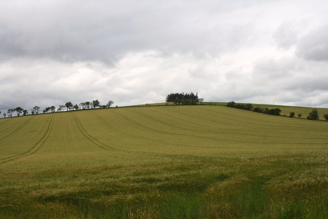
Smiddy Hill offers stunning views of the Aberdeenshire countryside, with its gently rolling hills and lush green fields. The summit provides a panoramic vista that stretches for miles, allowing visitors to admire the natural beauty of the region. On a clear day, it is possible to see as far as the coast, and even catch a glimpse of the North Sea.

The hill is a popular destination for hikers and outdoor enthusiasts, thanks to its accessible trails and well-maintained paths. There are various routes to reach the summit, catering to different skill levels and preferences. The climb is relatively gentle, making it suitable for families and beginners.

One of the notable features of Smiddy Hill is an ancient stone circle located near its base. This archaeological site is believed to date back to the Bronze Age, adding historical significance to the area. The stone circle is a fascinating sight to explore, offering a glimpse into the lives and rituals of our ancestors.

Overall, Smiddy Hill is a picturesque hill in Aberdeenshire, offering breathtaking views, enjoyable hiking opportunities, and a touch of history. Whether visitors are looking to appreciate nature, engage in outdoor activities, or delve into the region's past, Smiddy Hill is a must-visit destination.

If you have any feedback on the listing, please let us know in the comments section below.
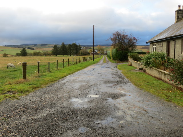
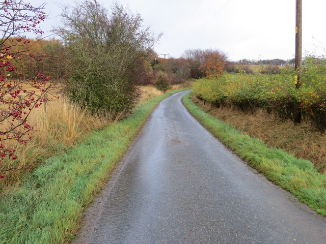
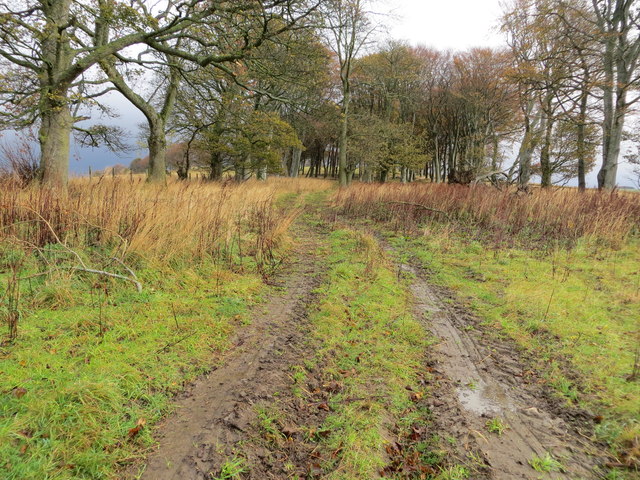
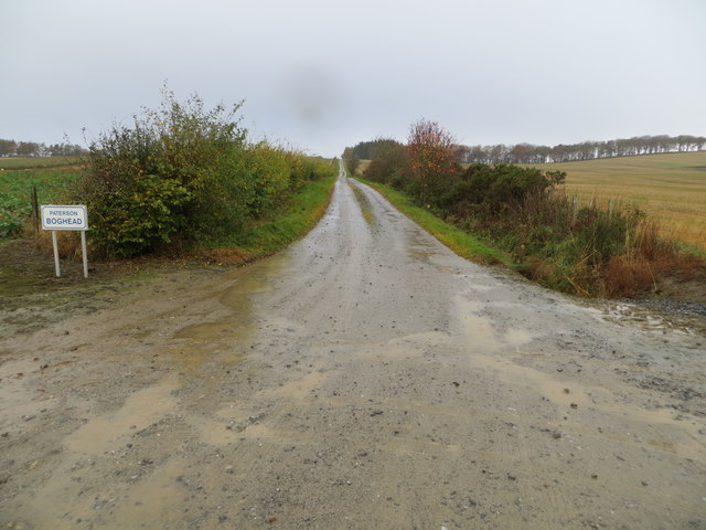
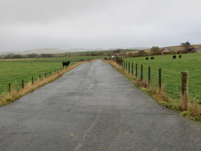
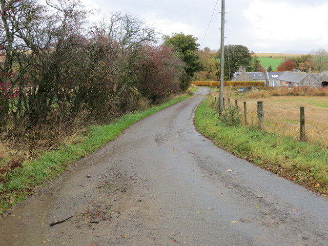
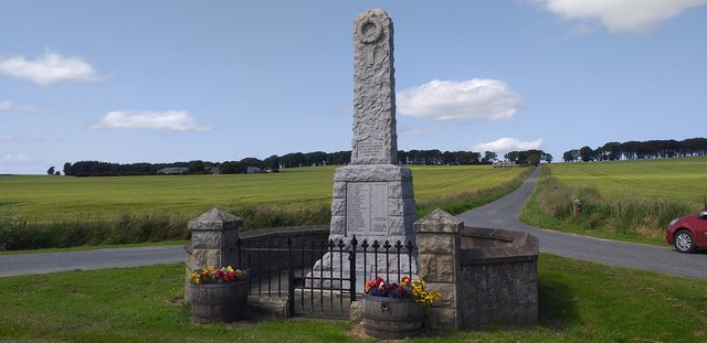
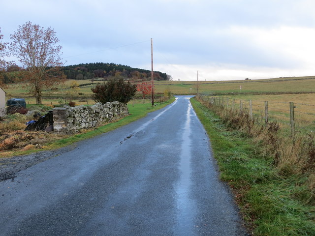
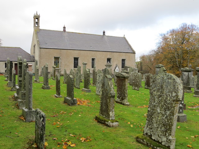
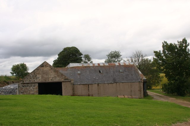
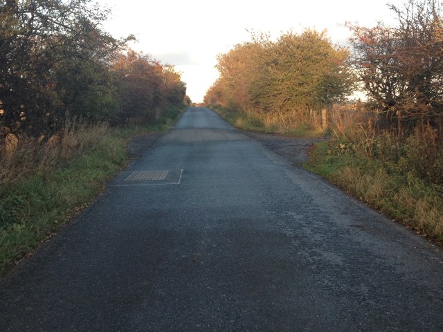
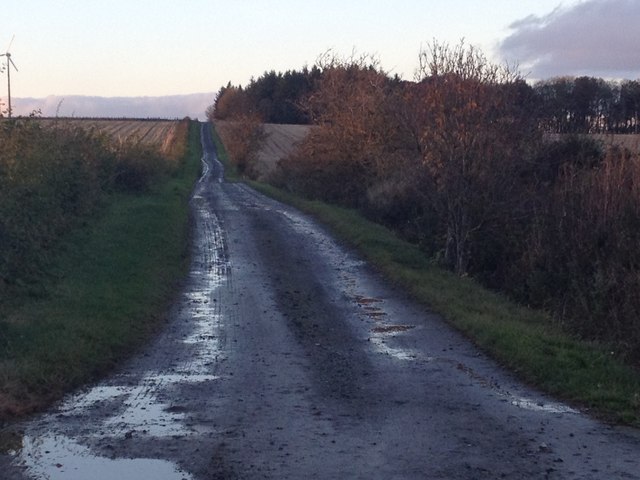
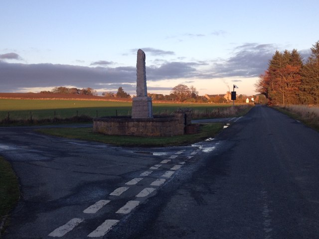
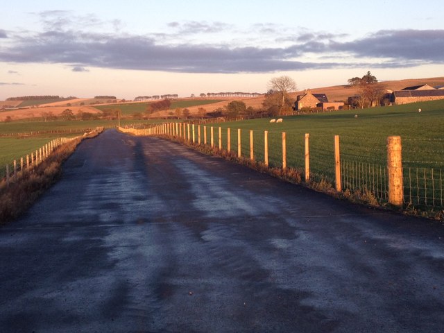
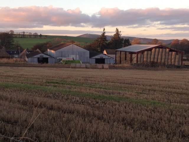
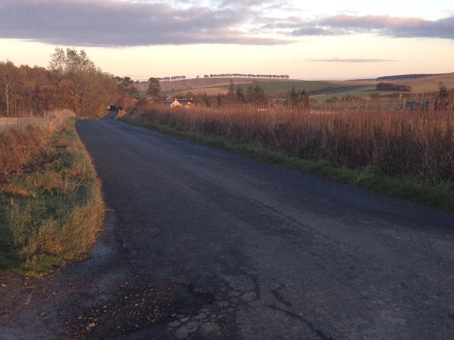
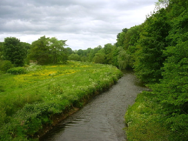
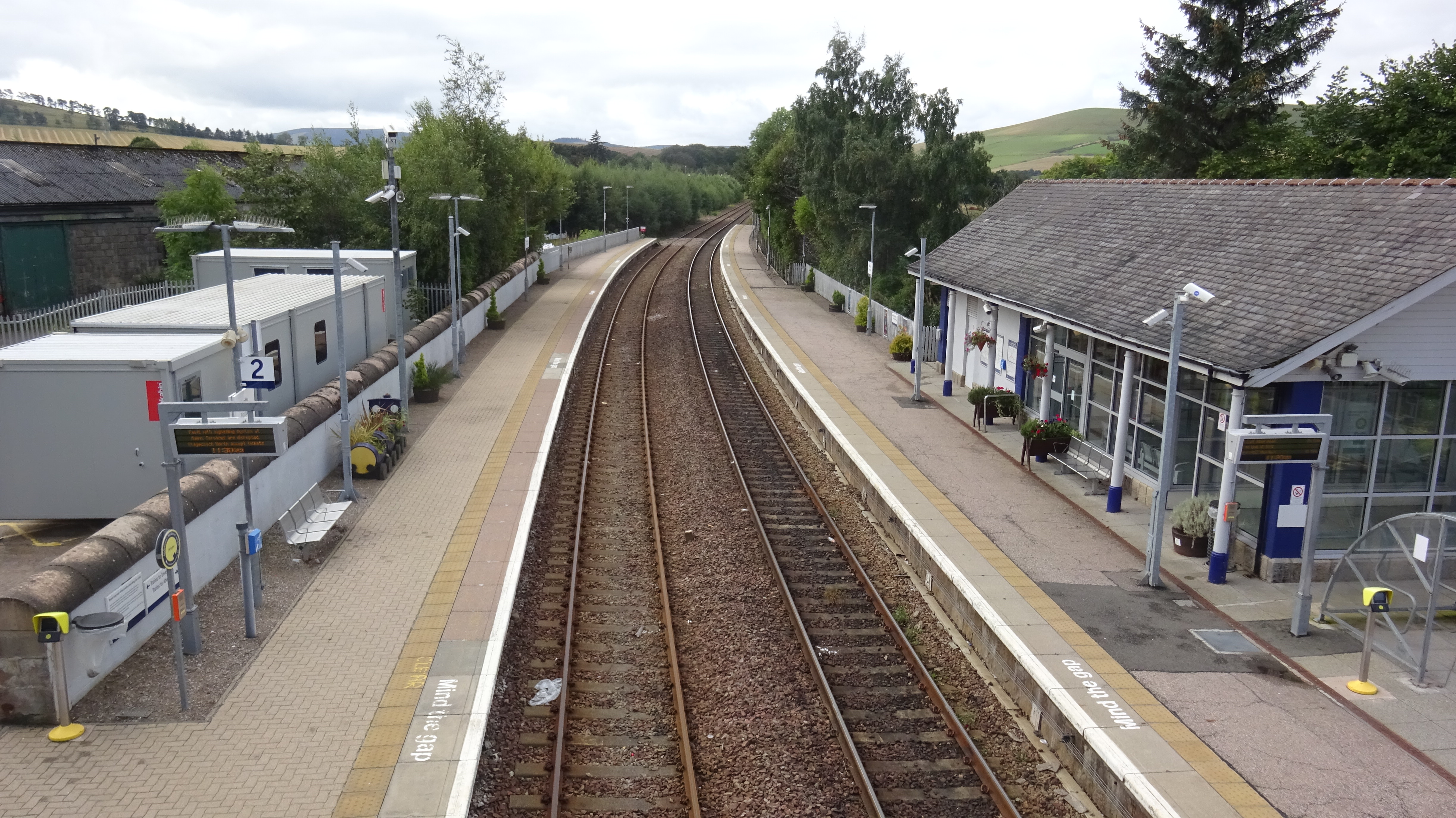
Smiddy Hill Images

Images are sourced within 2km of 57.444825/-2.7156347 or Grid Reference NJ5739. Thanks to Geograph Open Source API. All images are credited.

Track from road leading to Nether Bruntstane Looking southward.
Track from road leading to Nether Bruntstane
Looking southward.
Minor road approaching Loangarry Looking south-eastward.
Minor road approaching Loangarry
Looking south-eastward.
Tree-lined track to Newtongarry Hill Looking north-eastward.
Tree-lined track to Newtongarry Hill
Looking north-eastward.
Hedge-lined farm track to Boghead Looking north-westward.
Hedge-lined farm track to Boghead
Looking north-westward.
Farm track to East Comalegy Looking north-eastward.
Farm track to East Comalegy
Looking north-eastward.
Minor road approaching Troupsmill Looking north-westward.
Minor road approaching Troupsmill
Looking north-westward.
Ordnance Survey Flush Bracket 11223 This bracket can be found on the wall of a house - private dwelling - near Knightland Moss. The benchmark height is recorded as being 112.717 metres above sea level.
For more detail see : <span class="nowrap"><a title="https://www.bench-marks.org.uk/bm22140" rel="nofollow ugc noopener" href="https://www.bench-marks.org.uk/bm22140">Link</a><img style="margin-left:2px;" alt="External link" title="External link - shift click to open in new window" src="https://s1.geograph.org.uk/img/external.png" width="10" height="10"/></span>
Ordnance Survey Flush Bracket 11223
This bracket can be found on the wall of a house - private dwelling - near Knightland Moss. The benchmark height is recorded as being 112.717 metres above sea level. For more detail see : LinkExternal link
Drumblade War Memorial Granite obliesk memorial was unveiled on Armistice Day , Friday 11th Nov 1921, by The Marquess of Aberdeen and Temair.
Drumblade War Memorial
Granite obliesk memorial was unveiled on Armistice Day , Friday 11th Nov 1921, by The Marquess of Aberdeen and Temair.
Minor road approaching the A97 at Causewayend Looking north-westward.
Minor road approaching the A97 at Causewayend
Looking north-westward.
Burial Ground and Church at Dumblade Viewed from the south.
Burial Ground and Church at Dumblade
Viewed from the south.
Sloich Hill Also referred to as Robin's Height perhaps a reference to its use by the Bruce forces in the Battle of Slioch in 1307. On Christmas Day Buchan's forces reached Slioch, where the royal forces were commanded by Bruce's brother Edward. An archery battle ensued, but neither side was able to gain an advantage, and Buchan withdrew.
Sloich Hill
Also referred to as Robin's Height perhaps a reference to its use by the Bruce forces in the Battle of Slioch in 1307. On Christmas Day Buchan's forces reached Slioch, where the royal forces were commanded by Bruce's brother Edward. An archery battle ensued, but neither side was able to gain an advantage, and Buchan withdrew.
Slioch Farm An arable farm under Slioch Hill.
Slioch Farm
An arable farm under Slioch Hill.
Minor road near Slioch
Farm road to Easter and Wester Mosshead
War memorial near Brideswell
East Comalegy farm
East Comalegy farm
Troupsmill Farm
Troupsmill Farm
Minor road near Brideswell
Show me another place!

Smiddy Hill is located at Grid Ref: NJ5739 (Lat: 57.444825, Lng: -2.7156347)

Unitary Authority: Aberdeenshire

Police Authority: North East

What 3 Words

///perfumed.disclose.snuggled. Near Huntly, Aberdeenshire

Related Wikis

Nearby Amenities

Located within 500m of 57.444825,-2.7156347
Power: pole
Lat/Long: 57.4422027/-2.7220865
Power: pole
Lat/Long: 57.4419561/-2.7213463
Power: pole
Lat/Long: 57.4418467/-2.7209877
Power: pole
Lat/Long: 57.441534/-2.7200097
Power: pole
Lat/Long: 57.4417043/-2.7190681
Power: pole
Lat/Long: 57.4418828/-2.7180307
Power: pole
Lat/Long: 57.4420676/-2.7169837
Power: pole
Lat/Long: 57.4422543/-2.715952
Power: pole
Lat/Long: 57.4424401/-2.7148916
Power: pole
Lat/Long: 57.4425887/-2.7209512
Power: pole
Lat/Long: 57.4431315/-2.720353
Power: pole
Lat/Long: 57.4436764/-2.7197585
Power: pole
Lat/Long: 57.4440107/-2.718932
Power: pole
Lat/Long: 57.4474809/-2.7203865
Power: pole
Lat/Long: 57.4476367/-2.7214795
Newtongarry
Place: hamlet
Lat/Long: 57.4430143/-2.7119439
Easter Mosshead
Place: isolated_dwelling
Lat/Long: 57.4442729/-2.7230804
Loangarry
Place: isolated_dwelling
Lat/Long: 57.4477214/-2.7193683
The data included in this document is from www.openstreetmap.org. The data is made available under ODbL.

Have you been to Smiddy Hill?

Leave your review of Smiddy Hill below (or comments, questions and feedback).