Lamblair Hill
Hill, Mountain in Roxburghshire
Scotland
Lamblair Hill

Lamblair Hill is a prominent feature located in Roxburghshire, a historic county in the Scottish Borders region of Scotland. Rising to an elevation of approximately 343 meters (1,125 feet), it is classified as a hill rather than a mountain but still offers breathtaking views of the surrounding landscape.
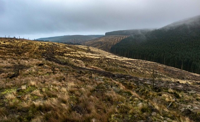
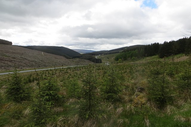
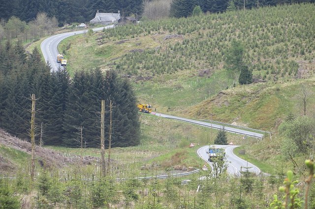
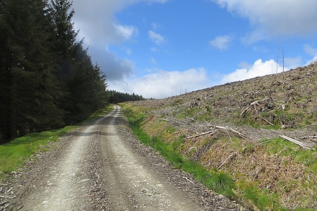
Situated near the village of Eckford, Lamblair Hill is known for its picturesque and diverse terrain. The hill is characterized by rolling green slopes, interspersed with patches of woodland and scattered rocks. These features contribute to the overall beauty of the area, attracting both locals and tourists alike.
The summit of Lamblair Hill provides stunning panoramic views of the surrounding countryside, including the Cheviot Hills to the south and the Eildon Hills to the west. On clear days, one can see as far as the Northumberland coast and even catch a glimpse of the Scottish Borders' distinct landscape.
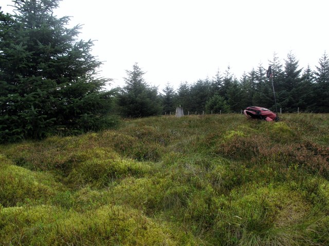
Nature enthusiasts will find Lamblair Hill a haven for wildlife, with a variety of species inhabiting the area. The hill is home to a multitude of bird species, including buzzards, kestrels, and pheasants. Additionally, visitors may spot rabbits, hares, and roe deer while exploring the hill's paths and trails.
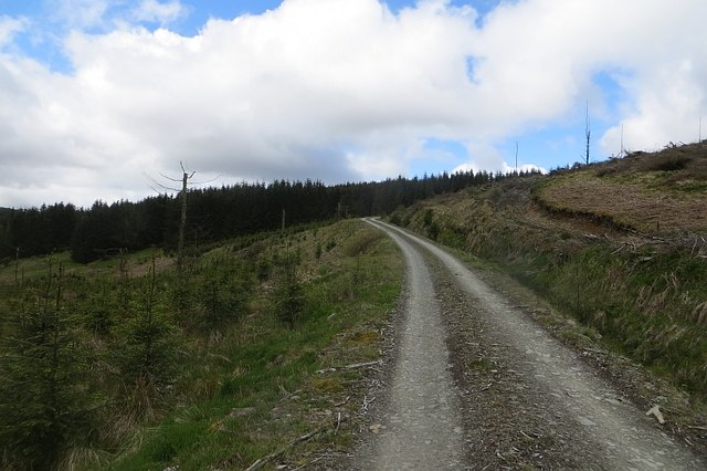
Lamblair Hill offers numerous walking and hiking opportunities, with well-maintained footpaths leading to the summit. These paths cater to different levels of fitness, making it an accessible destination for outdoor enthusiasts of all ages and abilities.
Overall, Lamblair Hill in Roxburghshire is a stunning natural attraction, celebrated for its scenic beauty, diverse wildlife, and panoramic views, making it a must-visit destination for nature lovers and outdoor enthusiasts.
If you have any feedback on the listing, please let us know in the comments section below.
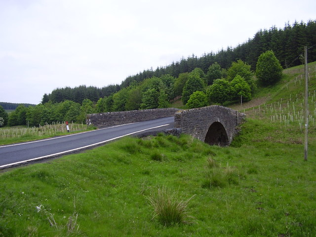
Lamblair Hill Images
Images are sourced within 2km of 55.306201/-2.6767478 or Grid Reference NT5701. Thanks to Geograph Open Source API. All images are credited.


Lamblair Hill is located at Grid Ref: NT5701 (Lat: 55.306201, Lng: -2.6767478)
Unitary Authority: The Scottish Borders
Police Authority: The Lothians and Scottish Borders
What 3 Words
///adopt.comic.munch. Near Hawick, Scottish Borders
Nearby Locations
Related Wikis

Wauchope Forest
Wauchope Forest is a forest on the Rule Water, in the Scottish Borders area of Scotland, south of Hawick, and including the A6088, the A68 and the B6357...
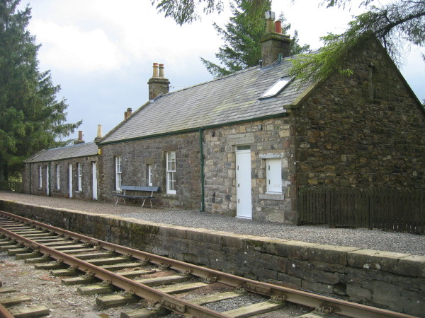
Saughtree railway station
Saughtree railway station is a closed railway station situated a mile north of the hamlet of Saughtree and two miles from the border with England. ��2...
Saughtree
Saughtree is a hamlet in the Scottish Borders at the junction of the B6357 and an unnamed road from Kielder village in Northumberland, England. It is at...
Whitrope
Whitrope is a densely forested, but sparsely populated area, high in the Southern Upland hills in the south central Scottish Borders in the former county...
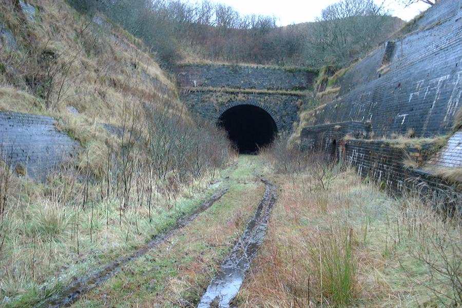
Whitrope Tunnel
The Whitrope Tunnel is a disused railway tunnel in the Scottish Borders, situated 12 miles (19 km) south of Hawick on the Waverley Route, close to Whitrope...

Waverley Route Heritage Association
Waverley Route Heritage Association is a heritage railway group involved with the history, heritage and preservation of the Waverley Route, based/centred...
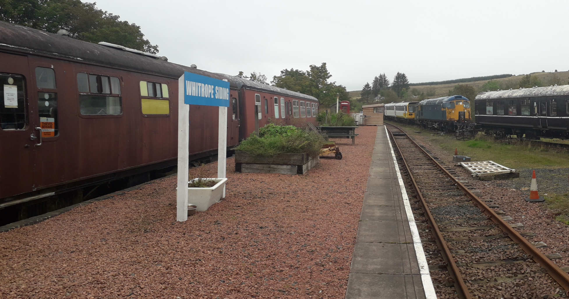
Whitrope Siding
Whitrope Siding was a trailing short siding or spur off the "up" (southbound) line, an associated trailing cross-over between up and down lines, a pair...

Riccarton Junction railway station
Riccarton Junction, in the county of Roxburghshire in the Scottish Borders, was a railway village and station. In its heyday it had 118 residents and its...
Nearby Amenities
Located within 500m of 55.306201,-2.6767478Have you been to Lamblair Hill?
Leave your review of Lamblair Hill below (or comments, questions and feedback).