Brickhill

Settlement in Bedfordshire

England

Brickhill

Lake in Bedford Park
Lake in Bedford Park Credit: Rob Purvis

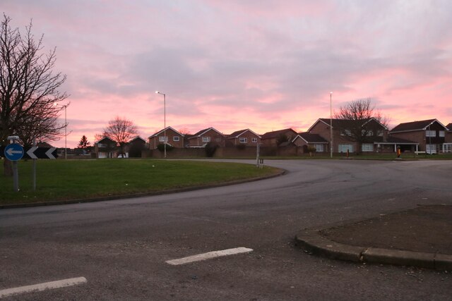
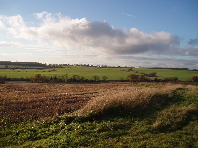
Brickhill is a small village located in the county of Bedfordshire, England. Situated about 3 miles east of the town of Bedford, it falls within the civil parish of Kempston Rural. This rural village is surrounded by beautiful countryside, offering picturesque views and a tranquil atmosphere.

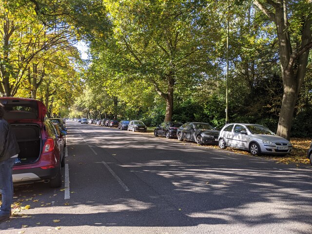
The village itself is mainly residential, with a population of around 800 people. It features a mix of historic and modern houses, many of which are constructed with traditional red bricks, giving the village its name. The architecture reflects the village's long history, with some buildings dating back to the 16th century.

Despite its small size, Brickhill boasts a strong sense of community. The village has a local pub, The Bricklayers Arms, which serves as a hub for socializing and events. There is also a village hall that hosts various activities and gatherings throughout the year.

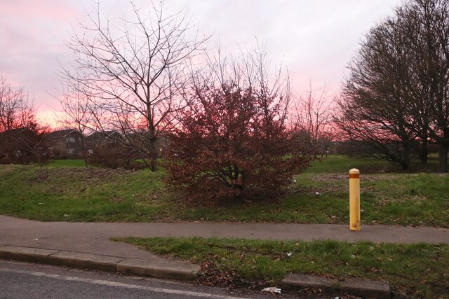
For outdoor enthusiasts, Brickhill offers ample opportunities for exploration. The nearby Marston Vale Forest Centre provides walking and cycling trails, as well as a lake for fishing. The village is also close to the Bedfordshire countryside, which is known for its rolling hills and scenic landscapes.

Overall, Brickhill is a charming village that offers a peaceful retreat from the hustle and bustle of nearby urban areas. Its idyllic setting, well-preserved architecture, and strong community spirit make it an attractive place to live or visit.

If you have any feedback on the listing, please let us know in the comments section below.
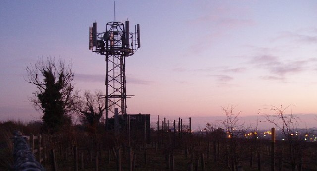
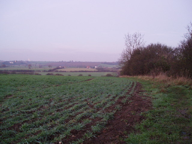
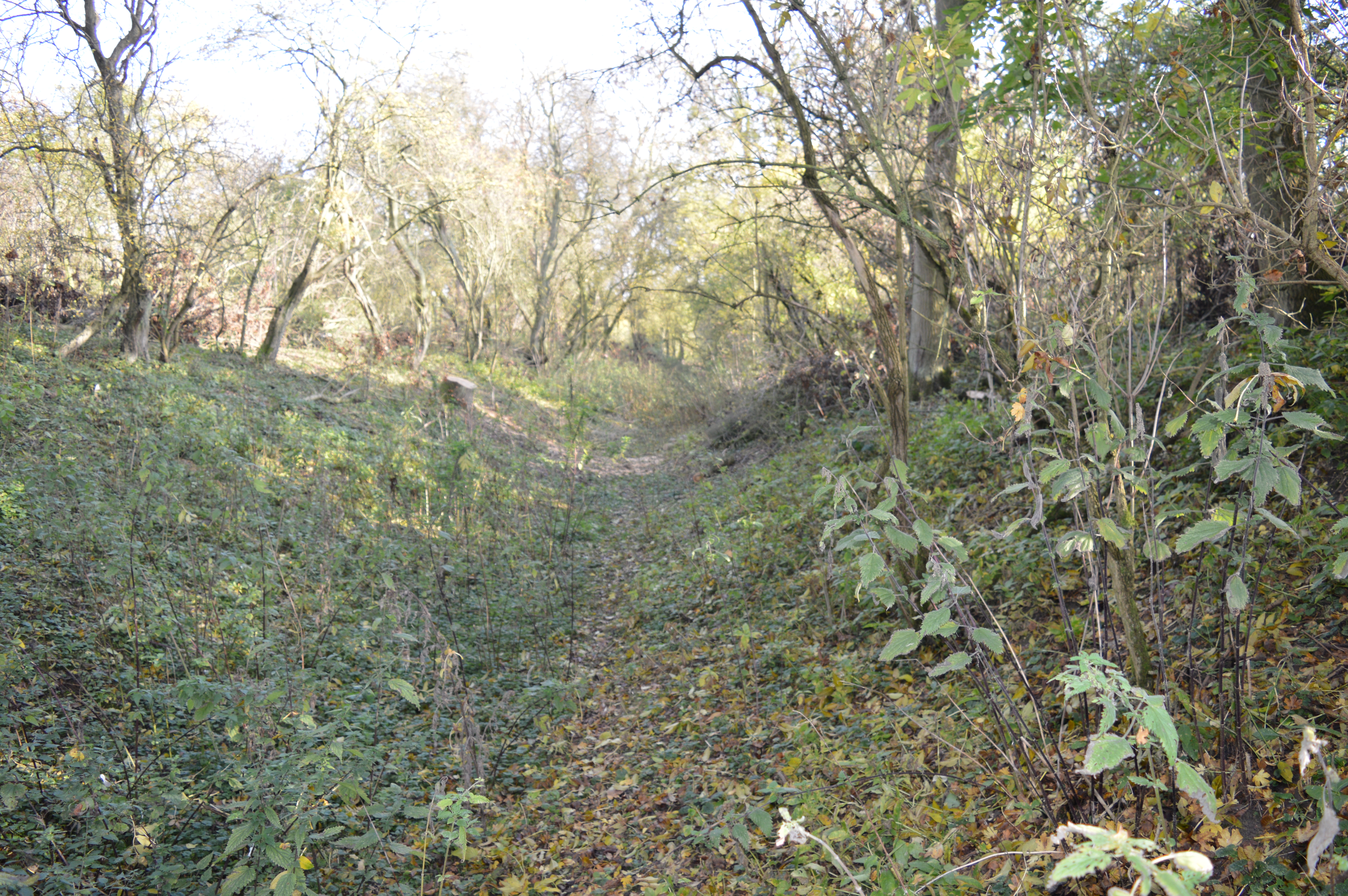
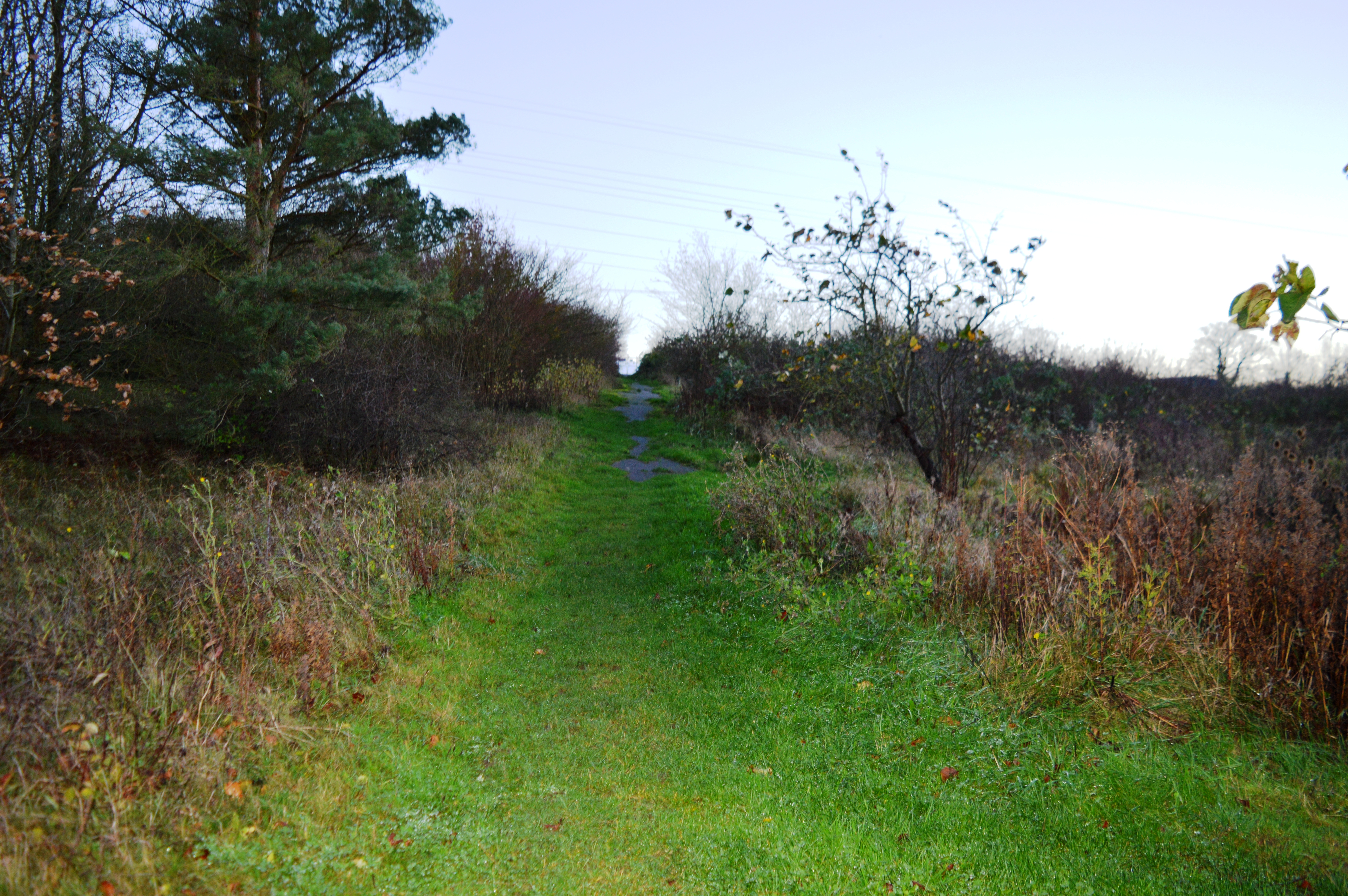
Brickhill Images

Images are sourced within 2km of 52.158843/-0.45336 or Grid Reference TL0552. Thanks to Geograph Open Source API. All images are credited.

Lake in Bedford Park
Park Avenue, looking south-west
Walking past the pavilion in Bedford Park
Bedford Park on a bright day in October
Path in Bedford Park
Roundabout on Hookhams Lane, Bedford This is the first main road entering Bedford from this direction.
Roundabout on Hookhams Lane, Bedford
This is the first main road entering Bedford from this direction.
Houses on Hookhams Lane, Salph End
Park by Hookhams Lane, Salph End Entering the urban area of Bedford
Park by Hookhams Lane, Salph End
Entering the urban area of Bedford
New nature reserve Part of the John Bunyan trail through Bedford
New nature reserve
Part of the John Bunyan trail through Bedford
Clapham Park Looking north towards Clapham Park
Clapham Park
Looking north towards Clapham Park
Clapham park wood Looking towards some houses in Clapham Park, which have these woodlands as their back garden
Clapham park wood
Looking towards some houses in Clapham Park, which have these woodlands as their back garden
House in Clapham Wood
Hills to the back of Brickhill View from the Cleat Hill to Graze Hill road, looking across to Clapham Park wood on the left horizon
Hills to the back of Brickhill
View from the Cleat Hill to Graze Hill road, looking across to Clapham Park wood on the left horizon
Phone mast near Cleat Hill Sunset pic with the lights of Bedford in the background
Phone mast near Cleat Hill
Sunset pic with the lights of Bedford in the background
Mowsbury Hill In the evening. Looking down towards Struttle End Farm
Mowsbury Hill
In the evening. Looking down towards Struttle End Farm
Goldington Avenue, Bedford A house on the west side of Goldington Avenue, viewed in 1949 from the corner of Campbell Road.
See <a href="https://www.geograph.org.uk/photo/760544">TL0550 : House on Goldington Avenue</a> for the same view 59 years later.
And a picture taken by the son of the couple in the picture, 60 years later - <a href="https://www.geograph.org.uk/photo/1396639">TL0550 : Goldington Avenue, Bedford</a>
Goldington Avenue, Bedford
A house on the west side of Goldington Avenue, viewed in 1949 from the corner of Campbell Road. See TL0550 : House on Goldington Avenue for the same view 59 years later. And a picture taken by the son of the couple in the picture, 60 years later - TL0550 : Goldington Avenue, Bedford
Bedford Park Lake This was taken on June 7th 1954, according to the details which my father wrote on the back of the photo.
(I was the small boy nearest the camera).
See <a href="https://www.geograph.org.uk/photo/760543">TL0551 : Bedford Park Lake</a> for the same view 54 years later.
Bedford Park Lake
This was taken on June 7th 1954, according to the details which my father wrote on the back of the photo. (I was the small boy nearest the camera). See TL0551 : Bedford Park Lake for the same view 54 years later.
The Chapel, Bedford School From the playing fields, c.1980.
The Chapel, Bedford School
From the playing fields, c.1980.
Show me another place!

Brickhill is located at Grid Ref: TL0552 (Lat: 52.158843, Lng: -0.45336)

Unitary Authority: Bedford

Police Authority: Bedfordshire

What 3 Words

///linked.envy.hunter. Near Bedford, Bedfordshire

Related Wikis

Brickhill

Brickhill is a civil parish and electoral ward within northern Bedford in Bedfordshire, England. The boundaries of Brickhill are approximately Kimbolton...

St Thomas More Catholic School, Bedford

St Thomas More Catholic School is a mixed secondary school and sixth form located in Bedford in the English county of Bedfordshire. The school is located...

Freeman's Common

Freeman's Common is a 12.5 hectare area of land situated to the north of Bedford, in the parish of Ravensden. It was created in 1858. Over many years...

Putnoe Wood

Putnoe Wood is a 10.4 hectare Local Nature Reserve located in the Putnoe area of Bedford. It is owned by Bedford Borough Council and maintained by the...

Harpur Trust

The Harpur Trust is a charity in Bedford, England. The stated aim of the charity is to help and support the people who live in and around Bedford, and...

Mowsbury Hill

Mowsbury Hill is a 2.8 hectare Local Nature Reserve and Scheduled Monument in north Bedford. It is owned and managed by Bedford Borough Council with the...

Park Wood, Bedford

Park Wood is a 5.2 hectare Local Nature Reserve located in the Brickhill area of Bedford. It is owned by Bedford Borough Council and managed by the council...

Mark Rutherford School

Mark Rutherford School is a mixed secondary school and sixth form in Bedford, England. The school is named in honour of the Bedford-born writer William...

Nearby Amenities

Located within 500m of 52.158843,-0.45336
Crossing
Bicycle: yes
Button Operated: yes
Crossing: traffic_signals
Crossing Island: no
Horse: yes
Lat/Long: 52.1626025/-0.4520677
Mini Roundabout
Direction: clockwise
Lat/Long: 52.1607767/-0.459112
Check Date: 2021-04-11
Traffic Calming: choker
Lat/Long: 52.1570876/-0.4498824
Post Office
Martin McColl
Addr City: Bedford
Addr Country: GB
Addr Housenumber: 18
Addr Postcode: MK41 7AF
Addr Street: Avon Drive
Brand Wikidata: Q116779207
Fhrs Authority: Bedford
Fhrs Id: 85457
Fhrs Local Authority Id: 21536
Ref Pol Id: 2564
Shop: convenience
Website: https://my.morrisons.com/storefinder/60196/martins-north-brickhill-avon-drive
Lat/Long: 52.1581556/-0.4585303
Post Box
Brand: Royal Mail
Brand Wikidata: Q638098
Check Date: 2021-08-16
Collection Times: Mo-Fr 17:00, Sa 11:30
Note: Information plate showed collection times but the reference was folded out of sight. According to Royal Mail list this should be MK41 296.
Operator: Royal Mail
Operator Wikidata: Q638098
Post Box Type: pillar
Ref: MK41 296
Royal Cypher: EIIR
Royal Cypher Wikidata: Q33102113
Source: survey
Lat/Long: 52.1582202/-0.4583808
Fuel
Avon Drive Service Centre
Addr City: Bedford
Addr Country: GB
Addr Postcode: MK41 7AF
Addr Street: Avon Drive
Lat/Long: 52.1585965/-0.4585589
Recycling
Location: underground
Recycling Cans: yes
Recycling Glass Bottles: yes
Recycling Type: container
Lat/Long: 52.1579603/-0.4580265
Brickhill
Place: suburb
Wikidata: Q680874
Wikipedia: en:Brickhill
Lat/Long: 52.1568075/-0.4581375
Post Box
Brand: Royal Mail
Brand Wikidata: Q638098
Check Date: 2021-04-18
Collection Times: Mo-Fr 09:00, Sa 07:00
Operator: Royal Mail
Operator Wikidata: Q638098
Post Box Type: pillar
Ref: MK41 374D
Royal Cypher: EIIR
Royal Cypher Wikidata: Q33102113
Source: survey
Lat/Long: 52.1569773/-0.4519095
Crossing
Crossing: unmarked
Crossing Island: yes
Crossing Markings: no
Kerb: lowered
Tactile Paving: yes
Lat/Long: 52.1588232/-0.4481088
Recycling
Location: underground
Recycling Clothes: yes
Recycling Glass Bottles: yes
Recycling Shoes: yes
Recycling Type: container
Lat/Long: 52.159124/-0.4464553
Power: tower
Lat/Long: 52.161477/-0.4568016
Power: tower
Lat/Long: 52.1626826/-0.4535213
Power: tower
Lat/Long: 52.1614091/-0.4578615
Addr Housenumber: 216
Lat/Long: 52.1551391/-0.4550712
Addr Housenumber: 10
Lat/Long: 52.1547682/-0.4562191
Addr Housenumber: 4
Lat/Long: 52.154879/-0.4556329
Addr Housenumber: 2
Lat/Long: 52.1550849/-0.4554567
Addr Housenumber: 14
Addr Street: Francis Groves Close
Lat/Long: 52.1554968/-0.4579165
Addr Housenumber: 2
Lat/Long: 52.1577317/-0.4593564
Addr Housenumber: 1
Lat/Long: 52.1579518/-0.4596675
Addr Housenumber: 3
Lat/Long: 52.157797/-0.4599631
Addr Housenumber: 1
Lat/Long: 52.1577167/-0.460051
Addr Housenumber: 2
Addr Street: Isis Road
Lat/Long: 52.157561/-0.4603462
Addr Housenumber: 36
Lat/Long: 52.1587142/-0.4606683
Addr Housenumber: 16
Lat/Long: 52.1580494/-0.4598074
Addr Housenumber: 8
Lat/Long: 52.1575606/-0.4591572
Addr Housenumber: 2
Lat/Long: 52.1573275/-0.4588946
Addr Housenumber: 38
Lat/Long: 52.1571958/-0.4591869
Addr Housenumber: 21
Lat/Long: 52.1566275/-0.4554298
Addr Housenumber: 1
Lat/Long: 52.1554151/-0.4555251
Addr Housenumber: 2
Lat/Long: 52.1601405/-0.4596143
Note: gas mains substation
Lat/Long: 52.1548995/-0.4544783
Addr Housenumber: 1
Lat/Long: 52.1562674/-0.4506275
Addr Housenumber: 11
Lat/Long: 52.156359/-0.4494072
Addr Housenumber: 16
Lat/Long: 52.1560016/-0.4493896
Addr Housenumber: 26
Lat/Long: 52.1560155/-0.4506426
Addr Housenumber: 111
Lat/Long: 52.1564633/-0.4510492
Addr Housenumber: 105
Lat/Long: 52.1562546/-0.4509859
Addr Housenumber: 103
Lat/Long: 52.1560397/-0.4509958
Addr Housenumber: 97
Lat/Long: 52.1557804/-0.4510158
Addr Housenumber: 85
Lat/Long: 52.1550611/-0.4510406
Addr Housenumber: 94
Lat/Long: 52.1553943/-0.4516086
Addr Housenumber: 106
Lat/Long: 52.1558203/-0.451587
Addr Housenumber: 112
Lat/Long: 52.1558953/-0.4515751
Addr Housenumber: 114
Lat/Long: 52.1560938/-0.4515351
Addr Housenumber: 122
Lat/Long: 52.1564596/-0.4516105
Addr Housenumber: 4
Addr Street: Pax Hill
Lat/Long: 52.1555885/-0.4510432
Power: tower
Lat/Long: 52.1625848/-0.4493112
Addr Housenumber: 1
Lat/Long: 52.1553107/-0.4510478
Addr Housenumber: 13
Note: im not sure about this one. it is a guess. -robert
Lat/Long: 52.1552995/-0.4501818
Addr Housenumber: 15
Lat/Long: 52.1553535/-0.4491511
Addr Housenumber: 30
Lat/Long: 52.1553015/-0.4500028
Addr Housenumber: 31
Lat/Long: 52.1553213/-0.449558
Addr Housenumber: 22
Lat/Long: 52.1556042/-0.4497813
Addr Housenumber: 23
Lat/Long: 52.1554282/-0.4486483
Addr Housenumber: 2
Lat/Long: 52.1558334/-0.4482796
Addr Housenumber: 23
Lat/Long: 52.1559732/-0.4477776
Addr Housenumber: 40
Lat/Long: 52.1557327/-0.4486245
Addr Housenumber: 46
Lat/Long: 52.1573719/-0.449065
Addr Housenumber: 48
Lat/Long: 52.1574021/-0.448672
Addr Housenumber: 53
Lat/Long: 52.1570849/-0.4485313
Addr Housenumber: 30
Lat/Long: 52.1570554/-0.4489137
Addr Housenumber: 47
Addr Street: Rowallan Drive
Lat/Long: 52.157041/-0.449014
Addr Housenumber: 47
Lat/Long: 52.1568165/-0.4484139
Addr Housenumber: 52
Lat/Long: 52.1570707/-0.4475802
Addr Housenumber: 53
Lat/Long: 52.157232/-0.4470902
Addr Housenumber: 56
Lat/Long: 52.1576686/-0.447515
Addr Housenumber: 60
Lat/Long: 52.157412/-0.4475625
Addr Housenumber: 59
Lat/Long: 52.1570831/-0.4479905
Addr Housenumber: 61
Lat/Long: 52.1579047/-0.4470089
Addr Housenumber: 62
Lat/Long: 52.1580041/-0.4474855
Addr Housenumber: 63
Lat/Long: 52.1580916/-0.4468212
Addr Housenumber: 72
Lat/Long: 52.15859/-0.4475351
Addr Housenumber: 71
Lat/Long: 52.1586648/-0.4468893
Addr Housenumber: 2
Lat/Long: 52.1581609/-0.4461852
Power: substation
Lat/Long: 52.1568643/-0.4532794
Addr Housenumber: 1
Lat/Long: 52.1567195/-0.453091
Addr Housenumber: 8
Lat/Long: 52.1570676/-0.4522038
Addr Housenumber: 2
Lat/Long: 52.1570964/-0.4528452
Addr Housenumber: 17
Lat/Long: 52.1566628/-0.4511166
Addr Housenumber: 15
Lat/Long: 52.1566341/-0.4516532
Addr Housenumber: 10
Lat/Long: 52.1570453/-0.4515405
Addr Housenumber: 14
Lat/Long: 52.1570573/-0.4513412
Addr Housenumber: 45
Lat/Long: 52.1570256/-0.4491608
Addr Housenumber: 36
Lat/Long: 52.1573213/-0.4494595
Addr Housenumber: 238
Lat/Long: 52.1557574/-0.4545162
Addr Housenumber: 248
Lat/Long: 52.1565264/-0.4543645
Addr Housenumber: 254
Lat/Long: 52.1570137/-0.4542056
Addr Housenumber: 1
Lat/Long: 52.1572809/-0.4522357
Addr Housenumber: 39
Lat/Long: 52.1572775/-0.4515794
Addr Housenumber: 1
Lat/Long: 52.1588471/-0.4506135
Addr Housenumber: 6
Lat/Long: 52.159177/-0.4504691
Addr Housenumber: 2
Lat/Long: 52.1593946/-0.4507357
Addr Housenumber: 17
Addr Street: Wentworth Drive
Lat/Long: 52.1598659/-0.4506935
Addr Housenumber: 1
Lat/Long: 52.1599804/-0.4508617
Addr Housenumber: 5
Lat/Long: 52.1603124/-0.4516949
Addr Housenumber: 4
Lat/Long: 52.1574328/-0.4494423
Addr Housenumber: 3
Lat/Long: 52.1574805/-0.4491097
Addr Housenumber: 8
Lat/Long: 52.1577164/-0.4495649
Addr Housenumber: 5
Lat/Long: 52.1577555/-0.4492087
Addr Housenumber: 27
Lat/Long: 52.1579744/-0.4497073
Addr Housenumber: 25
Lat/Long: 52.1579911/-0.4495137
Addr Housenumber: 1
Lat/Long: 52.1582973/-0.4499297
Addr Housenumber: 9
Lat/Long: 52.1584419/-0.4493408
Addr Housenumber: 2
Lat/Long: 52.1584717/-0.4502402
Addr Housenumber: 10
Lat/Long: 52.1586083/-0.4498559
Addr Housenumber: 24
Lat/Long: 52.1578619/-0.448455
Addr Housenumber: 30
Lat/Long: 52.1578202/-0.4488794
Addr Housenumber: 22
Lat/Long: 52.1577538/-0.4480685
Addr Housenumber: 5
Lat/Long: 52.158379/-0.448535
Addr Housenumber: 21
Lat/Long: 52.1588603/-0.4488707
Addr Housenumber: 2
Lat/Long: 52.1586387/-0.4480256
Addr Housenumber: 1
Lat/Long: 52.1587612/-0.4484992
Addr Housenumber: 17
Lat/Long: 52.1593049/-0.4496108
Addr Housenumber: 25
Lat/Long: 52.1594575/-0.4499535
Addr Housenumber: 19
Lat/Long: 52.1597272/-0.4504157
Addr Housenumber: 18
Lat/Long: 52.1590143/-0.4492211
Addr Housenumber: 46
Lat/Long: 52.1582166/-0.4504908
Addr Housenumber: 56
Lat/Long: 52.1585268/-0.4507977
Addr Housenumber: 82
Lat/Long: 52.1596895/-0.4510583
Addr Housenumber: 36
Lat/Long: 52.1578307/-0.4500961
Addr Housenumber: 34
Addr Street: Birkdale Road
Lat/Long: 52.157591/-0.4501015
Addr Housenumber: 32
Addr Street: Birkdale Road
Lat/Long: 52.1576143/-0.449969
Addr Housenumber: 10
Lat/Long: 52.1614675/-0.4504916
Addr Housenumber: 7
Lat/Long: 52.1610826/-0.4505964
Addr Housenumber: 9
Lat/Long: 52.1616149/-0.4509357
Addr Housenumber: 24
Lat/Long: 52.1595749/-0.449318
Addr Housenumber: 1
Addr Street: Parkstone Close
Lat/Long: 52.1598993/-0.4498663
Addr Housenumber: 4
Addr Street: Wentworth Drive
Lat/Long: 52.1590108/-0.4473317
Addr Housenumber: 16
Lat/Long: 52.1608346/-0.4486443
Addr Housenumber: 2
Lat/Long: 52.1605243/-0.4495425
Addr Housenumber: 15
Lat/Long: 52.1609243/-0.4492306
Addr Housenumber: 221
Lat/Long: 52.1571341/-0.4533985
Addr Housenumber: 245
Lat/Long: 52.1587971/-0.4529516
Addr Housenumber: 296
Lat/Long: 52.1604922/-0.453155
Addr Housenumber: 265
Lat/Long: 52.1603141/-0.4522589
Addr Housenumber: 269
Lat/Long: 52.1606237/-0.4522269
Addr Housenumber: 6
Lat/Long: 52.1609365/-0.4515597
Addr Housenumber: 22
Lat/Long: 52.1599704/-0.4499435
Addr Housenumber: 18
Lat/Long: 52.1600977/-0.4501414
Check Date: 2021-04-11
Traffic Calming: choker
Lat/Long: 52.1569383/-0.4509042
Power: tower
Source: bing
Lat/Long: 52.1625678/-0.4546893
Atm
Check Date: 2021-08-16
Operator: Cash Zone
Lat/Long: 52.158207/-0.458527
Entrance: yes
Lat/Long: 52.161792/-0.452945
Entrance: yes
Lat/Long: 52.1618342/-0.4530886
Bench
Backrest: yes
Check Date: 2021-07-07
Source: Bing
Lat/Long: 52.1614334/-0.4476294
Bus Stop
Lowther Road
Bus: yes
Naptan AtcoCode: 020035158
Naptan Bearing: W
Naptan CommonName: Lowther Road
Naptan Indicator: opp
Naptan Landmark: Harrington Drive
Naptan NaptanCode: bfsamgdj
Naptan PlusbusZoneRef: BEDFDM
Naptan Street: Rowallan Drive
Public Transport: platform
Shelter: no
Source: naptan_import
Lat/Long: 52.1571621/-0.4491704
Fast Food
Brickhill Fish and Chips
Addr City: Bedford
Addr Country: GB
Addr Housenumber: 12
Addr Postcode: MK41 7AF
Addr Street: Avon Drive
Cuisine: fish_and_chips
Fhrs Authority: Bedford
Fhrs Id: 85456
Fhrs Local Authority Id: 21532
Source: Bing
Takeaway: yes
Lat/Long: 52.1579931/-0.4585405
One Stop
Addr City: Bedford
Addr Country: GB
Addr Housenumber: 10
Addr Postcode: MK41 7AF
Addr Street: Avon Drive
Brand: One Stop
Brand Wikidata: Q65954217
Contact Website: https://www.onestop.co.uk/store?store=1759fa8f-0c6c-49c7-99d5-9e782ef34dea
Fhrs Authority: Bedford
Fhrs Id: 621152
Fhrs Local Authority Id: 114146
Shop: convenience
Source: Bing
Lat/Long: 52.1579259/-0.4584612
Bus Stop
Lambourn Way
Bench: no
Bin: no
Bus: yes
Check Date Shelter: 2021-09-22
Naptan AtcoCode: 020035127
Naptan Bearing: SE
Naptan CommonName: Lambourn Way
Naptan Indicator: opp
Naptan Landmark: Tyne Crescent
Naptan NaptanCode: bfsamdmw
Naptan PlusbusZoneRef: BEDFDM
Naptan Street: Avon Drive
Public Transport: platform
Shelter: no
Source: naptan_import
Tactile Paving: no
Lat/Long: 52.1616007/-0.4537239
Bus Stop
Irthing Close
Bench: yes
Bin: no
Bus: yes
Check Date Shelter: 2021-08-13
Lit: yes
Naptan AtcoCode: 020035818
Naptan Bearing: SE
Naptan CommonName: Irthing Close
Naptan Indicator: adj
Naptan Landmark: Irthing Close
Naptan NaptanCode: bfsapmtm
Naptan PlusbusZoneRef: BEDFDM
Naptan Street: Avon Drive
Public Transport: platform
Shelter: yes
Source: naptan_import
Tactile Paving: no
Lat/Long: 52.1618856/-0.4546522
Bus Stop
Lambourn Way
Bench: no
Bin: no
Bus: yes
Naptan AtcoCode: 020035126
Naptan Bearing: NW
Naptan CommonName: Lambourn Way
Naptan Indicator: adj
Naptan Landmark: Lambourn Way
Naptan NaptanCode: bfsamdmt
Naptan PlusbusZoneRef: BEDFDM
Naptan Street: Avon Drive
Public Transport: platform
Shelter: no
Source: naptan_import
Tactile Paving: no
Lat/Long: 52.1614143/-0.4536815
Bus Stop
Parkstone Close
Bench: no
Bin: no
Bus: yes
Check Date Shelter: 2021-08-10
Lit: yes
Naptan AtcoCode: 020035144
Naptan Bearing: NW
Naptan CommonName: Parkstone Close
Naptan Indicator: opp
Naptan Landmark: Sunningdale Walk
Naptan NaptanCode: bfsamdwg
Naptan PlusbusZoneRef: BEDFDM
Naptan Street: Wentworth Drive
Public Transport: platform
Shelter: no
Source: naptan_import;survey;bing
Tactile Paving: no
Lat/Long: 52.159377/-0.4495637
Bus Stop
Parkstone Close
Bench: no
Bin: no
Bus: yes
Check Date Shelter: 2021-08-10
Lit: yes
Naptan AtcoCode: 020035145
Naptan Bearing: SE
Naptan CommonName: Parkstone Close
Naptan Indicator: adj
Naptan Landmark: Parkstone Close
Naptan NaptanCode: bfsamdwj
Naptan PlusbusZoneRef: BEDFDM
Naptan Street: Wentworth Drive
Public Transport: platform
Shelter: no
Source: naptan_import;survey;bing
Tactile Paving: no
Lat/Long: 52.159452/-0.4493925
Post Box
Brand: Royal Mail
Brand Wikidata: Q638098
Check Date: 2021-08-13
Collection Times: Mo-Fr 09:00, Sa 07:00
Operator: Royal Mail
Operator Wikidata: Q638098
Post Box Type: pillar
Ref: MK41 416
Royal Cypher: EIIR
Royal Cypher Wikidata: Q33102113
Source: survey
Lat/Long: 52.1618701/-0.4545985
Barrier: bollard
Lat/Long: 52.1553304/-0.4559392
Barrier: bollard
Lat/Long: 52.1552991/-0.4559585
Barrier: bollard
Lat/Long: 52.1552765/-0.4559853
Barrier: bollard
Lat/Long: 52.1552574/-0.4560227
Waste Basket
Check Date: 2022-07-11
Lat/Long: 52.155241/-0.4556738
Check Date: 2022-07-11
Traffic Calming: choker
Lat/Long: 52.1558728/-0.4558338
Bus Stop
Bus: yes
Public Transport: platform
Lat/Long: 52.1572652/-0.458358
Addr Housenumber: 195
Addr Street: Kimbolton Road
Lat/Long: 52.1547958/-0.45343
Entrance: yes
Lat/Long: 52.1590611/-0.4537281
Waste Basket
Lat/Long: 52.1605041/-0.4470149
Waste Basket
Lat/Long: 52.1596112/-0.4471321
Waste Basket
Lat/Long: 52.1587318/-0.4478411
Bicycle Parking
Bicycle Parking: stands
Capacity: 6
Covered: no
Lat/Long: 52.1601658/-0.4471884
Cafe
Four Seasons Café
Addr City: Bedford
Addr Country: GB
Addr Postcode: MK41 8QB
Addr Street: Wentworth Drive
Fhrs Authority: Bedford
Fhrs Id: 695795
Fhrs Local Authority Id: 64377
Name En: Four Seasons Café
Lat/Long: 52.1601702/-0.4473299
Waste Basket
Lat/Long: 52.1601331/-0.4471384
Access: yes
Leisure: playground
Lat/Long: 52.1565416/-0.4574253
Coral
Brand: Coral
Brand Wikidata: Q54621344
Shop: bookmaker
Lat/Long: 52.1580617/-0.4585362
Leisure: fitness_station
Sport: fitness
Lat/Long: 52.1566307/-0.4566767
Communication Mobile Phone: yes
Man Made: mast
Tower Type: communication
Lat/Long: 52.1607609/-0.4528333
Bench
Backrest: yes
Colour: brown
Material: metal
Lat/Long: 52.1596202/-0.4467792
Bench
Backrest: yes
Colour: brown
Material: metal
Lat/Long: 52.1595731/-0.4464665
Bench
Backrest: yes
Colour: brown
Material: metal
Lat/Long: 52.1596048/-0.4466727
Bench
Backrest: yes
Colour: brown
Material: metal
Lat/Long: 52.1595908/-0.44657
Bench
Backrest: yes
Colour: brown
Material: metal
Lat/Long: 52.159561/-0.4463273
The data included in this document is from www.openstreetmap.org. The data is made available under ODbL.

Have you been to Brickhill?

Leave your review of Brickhill below (or comments, questions and feedback).