Clapham Park
Wood, Forest in Bedfordshire
England
Clapham Park

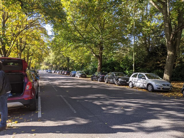
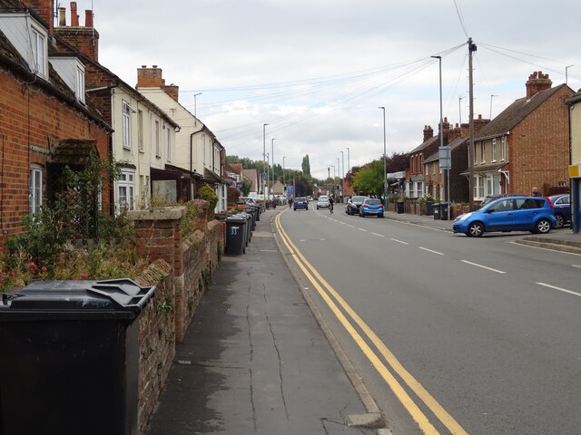
Clapham Park is a beautiful woodland located in Bedfordshire, England. It is situated in the village of Clapham, just a few miles away from the bustling town of Bedford. The park covers a vast area of approximately 200 acres and is known for its lush greenery and stunning natural beauty.
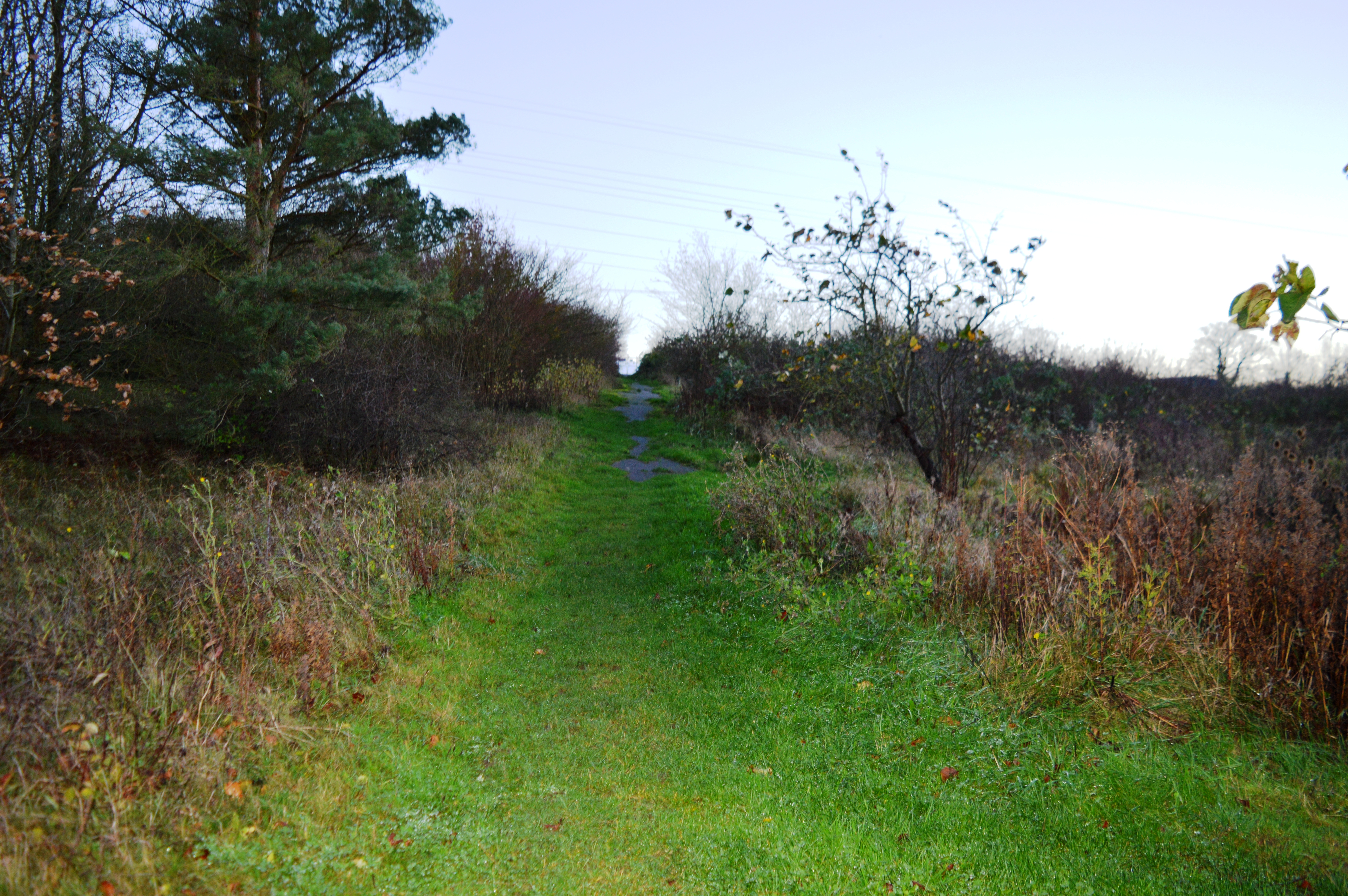
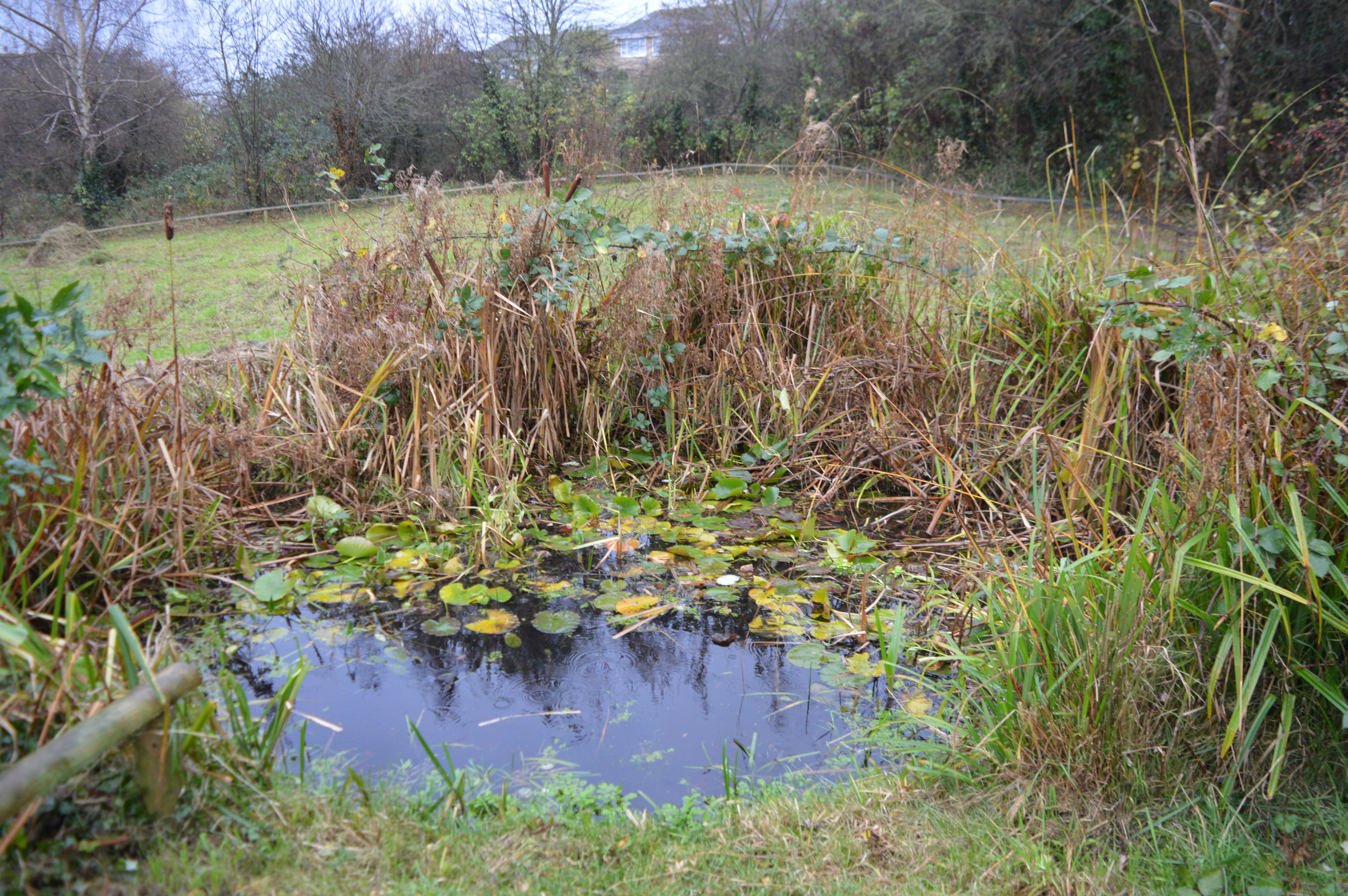
The park is primarily covered with dense woodlands, making it a haven for nature enthusiasts and wildlife lovers. The forest is home to a wide variety of flora and fauna, including ancient oak trees, beech trees, and a diverse range of wildflowers. It provides a perfect habitat for birds, butterflies, and small mammals, creating a serene and tranquil environment.
Clapham Park is not only a natural habitat but also a recreational space for visitors. It offers a network of well-maintained walking trails, allowing people to explore the woods and enjoy the peaceful surroundings. The park also features picnic spots and benches, providing a perfect setting for families and friends to relax and enjoy a day out.
Furthermore, Clapham Park has historical significance as it was once part of the Duke of Bedford’s estate. It has been well-preserved over the years, allowing visitors to witness the beauty and grandeur of the ancient woodland.
Overall, Clapham Park in Bedfordshire is a hidden gem, offering a peaceful retreat from the hustle and bustle of city life. Whether it's for a leisurely walk, birdwatching, or simply enjoying nature, Clapham Park provides a delightful experience for all.
If you have any feedback on the listing, please let us know in the comments section below.
Clapham Park Images
Images are sourced within 2km of 52.163164/-0.46592006 or Grid Reference TL0552. Thanks to Geograph Open Source API. All images are credited.


Clapham Park is located at Grid Ref: TL0552 (Lat: 52.163164, Lng: -0.46592006)
Unitary Authority: Bedford
Police Authority: Bedfordshire
What 3 Words
///ahead.thank.misty. Near Clapham, Bedfordshire
Nearby Locations
Related Wikis

St Thomas More Catholic School, Bedford
St Thomas More Catholic School is a mixed secondary school and sixth form located in Bedford in the English county of Bedfordshire. The school is located...

Brickhill
Brickhill is a civil parish and electoral ward within northern Bedford in Bedfordshire, England. The boundaries of Brickhill are approximately Kimbolton...
Park Wood, Bedford
Park Wood is a 5.2 hectare Local Nature Reserve located in the Brickhill area of Bedford. It is owned by Bedford Borough Council and managed by the council...
Bedford & County Golf Club
Bedford & County Golf Club is a golf club to the northeast of Clapham, Bedfordshire, England. It was established in 1912. As of 1995 the course measured...
Freeman's Common
Freeman's Common is a 12.5 hectare area of land situated to the north of Bedford, in the parish of Ravensden. It was created in 1858. Over many years...
Harpur Trust
The Harpur Trust is a charity in Bedford, England. The stated aim of the charity is to help and support the people who live in and around Bedford, and...
Hill Rise, Bedford
Hill Rise is a 0.9 hectare Local Nature Reserve (LNR) located in the Harpur area of Bedford. It is owned and managed by Bedford Borough Council.The site...
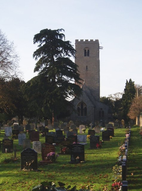
Church of St Thomas of Canterbury, Clapham, Bedfordshire
Church of St Thomas of Canterbury (also Clapham Parish Church, or Thomas à Becket) is a parish church and Grade I listed building in Clapham, Bedfordshire...
Nearby Amenities
Located within 500m of 52.163164,-0.46592006Have you been to Clapham Park?
Leave your review of Clapham Park below (or comments, questions and feedback).