Heath End Plantation
Wood, Forest in Lincolnshire North Kesteven
England
Heath End Plantation
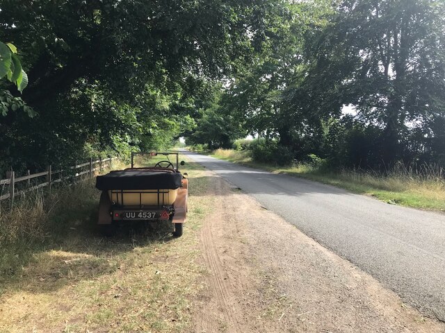
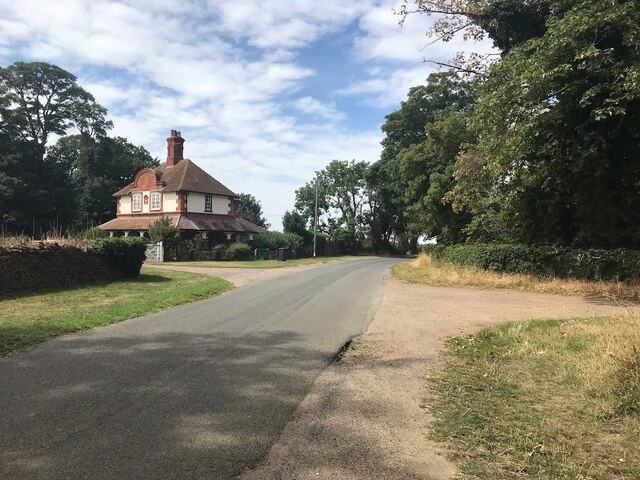
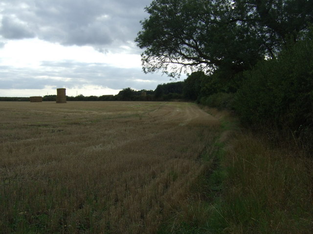
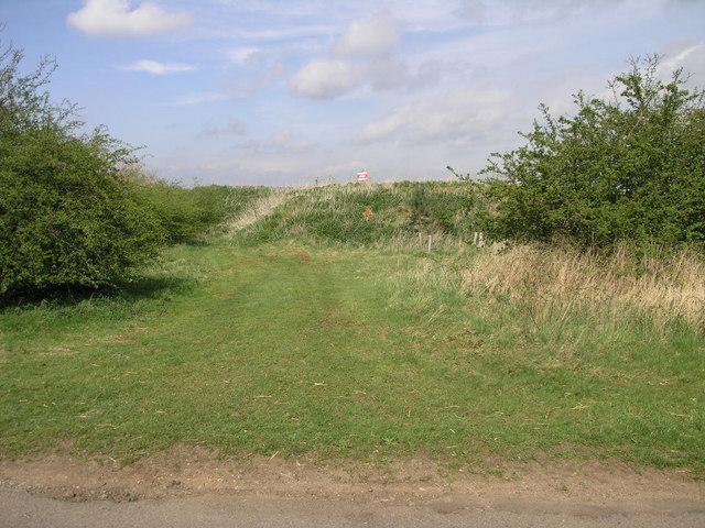
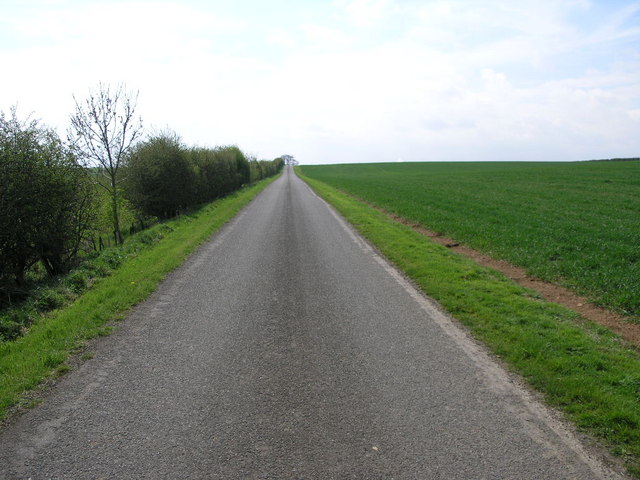
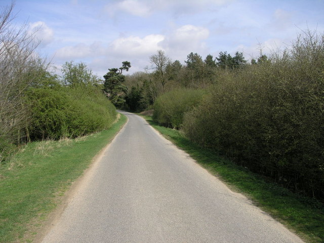
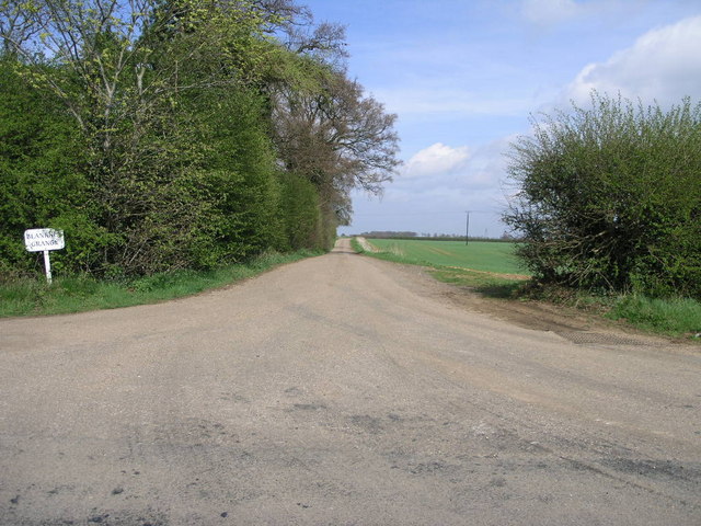
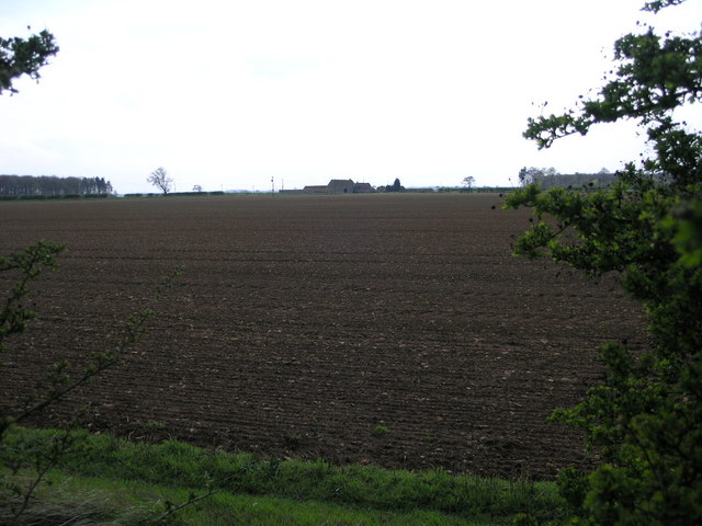
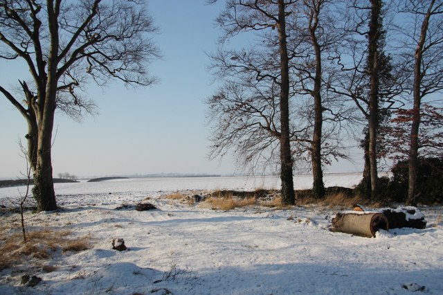
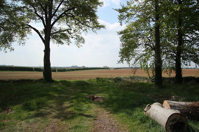
Heath End Plantation is a picturesque woodland located in the county of Lincolnshire, England. Covering an area of approximately 50 acres, this plantation is a haven for nature enthusiasts and those seeking tranquility amidst the lush greenery.
The plantation is predominantly composed of various species of trees, including oak, beech, and birch, which create a diverse and vibrant woodland ecosystem. The trees tower above visitors, providing shade and a sense of serenity as they explore the plantation's numerous paths and trails.
Heath End Plantation is home to a wide array of wildlife, making it a popular destination for birdwatchers and nature photographers. Visitors may be lucky enough to spot elusive species such as woodpeckers, owls, and even deer roaming freely through the woodland. The plantation's peaceful atmosphere and natural beauty make it an ideal habitat for these creatures.
For those interested in the history of the area, Heath End Plantation has a rich past. It is believed to have been part of an ancient forest that once covered much of Lincolnshire. Today, the plantation serves as a testament to the region's natural heritage and the importance of preserving such areas for future generations.
Whether it's a leisurely stroll, birdwatching, or simply enjoying the sights and sounds of nature, Heath End Plantation offers a welcome retreat from the hustle and bustle of everyday life. Its tranquil atmosphere and stunning scenery make it a must-visit destination for anyone seeking solace in Lincolnshire's woodlands.
If you have any feedback on the listing, please let us know in the comments section below.
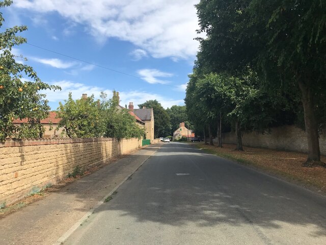
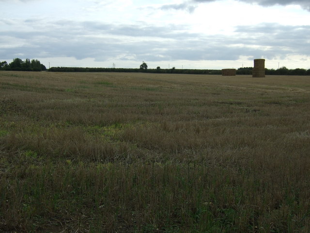
Heath End Plantation Images
Images are sourced within 2km of 53.129859/-0.43171307 or Grid Reference TF0560. Thanks to Geograph Open Source API. All images are credited.
Heath End Plantation is located at Grid Ref: TF0560 (Lat: 53.129859, Lng: -0.43171307)
Administrative County: Lincolnshire
District: North Kesteven
Police Authority: Lincolnshire
What 3 Words
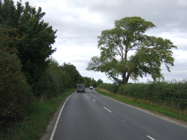
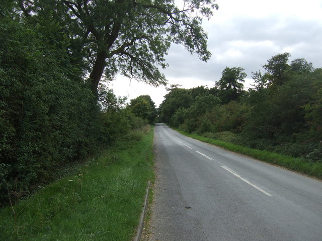
///groups.tastings.hack. Near Metheringham, Lincolnshire
Nearby Locations
Related Wikis
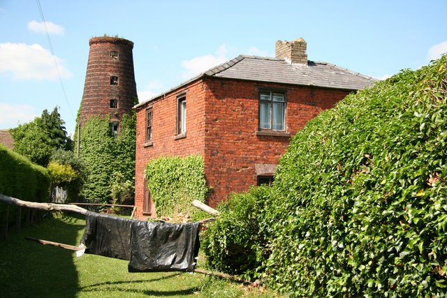
Metheringham Windmill
Metheringham Windmill, locally known as The Old Meg Flour Mill, was a six-storeyed, six-sailed, and tarred slender Lincolnshire type windmill with the...
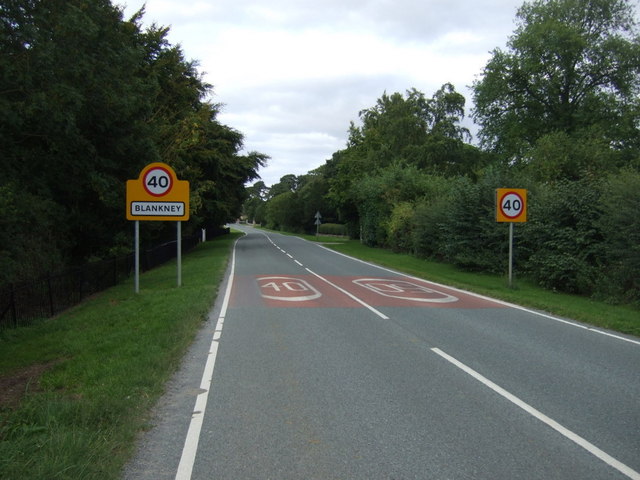
Blankney
Blankney is a village and civil parish in the North Kesteven district of Lincolnshire, England. The population of the civil parish at the 2011 census was...

Metheringham
Metheringham is a village and civil parish in the North Kesteven district of Lincolnshire, England. The population of the civil parish at the 2011 census...

Nocton Dairies controversy
Nocton Dairies is a British company which was formed by Devon farmer and cheese-maker Peter Willes and Lancashire milk producer David Barnes in order to...

Lincolnshire potato railways
The Lincolnshire potato railways were a network of private, 1 ft 11+1⁄2 in (597 mm) narrow gauge farm railways which existed in the English county of Lincolnshire...

Nocton and Dunston railway station
Nocton and Dunston railway station served Nocton and Dunston in Lincolnshire which shared a GNR/GER Joint railway station until it was closed for passengers...

Dunston, Lincolnshire
Dunston is a small village in the North Kesteven district of Lincolnshire, England. It is situated approximately 7 miles (11 km) south-east from the city...

Metheringham railway station
Metheringham railway station serves the village of Metheringham in Lincolnshire, England. It lies on the Peterborough–Lincoln line. It is owned by Network...
Nearby Amenities
Located within 500m of 53.129859,-0.43171307Have you been to Heath End Plantation?
Leave your review of Heath End Plantation below (or comments, questions and feedback).