Aldbrough St John
Settlement in Yorkshire Richmondshire
England
Aldbrough St John
Aldbrough St John is a picturesque village located in the Richmondshire district of North Yorkshire, England. Situated approximately 10 miles northeast of Richmond, the village is nestled in the rolling countryside of the Yorkshire Dales National Park. With a population of around 350 people, Aldbrough St John exudes a peaceful and close-knit community atmosphere.
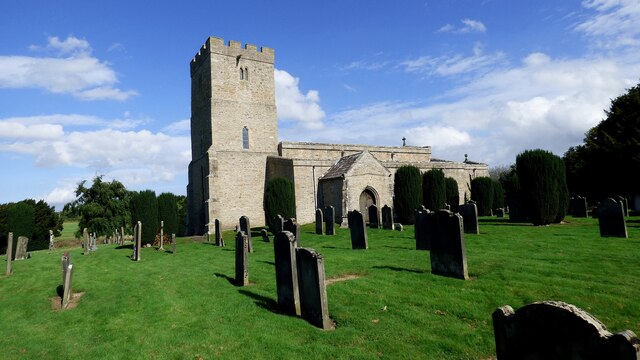
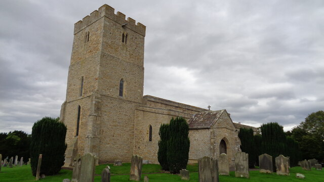
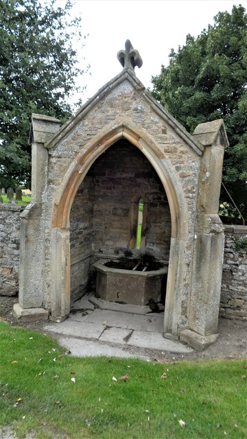
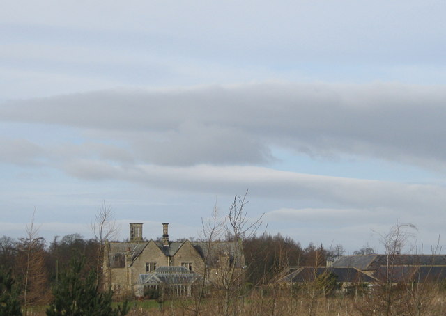
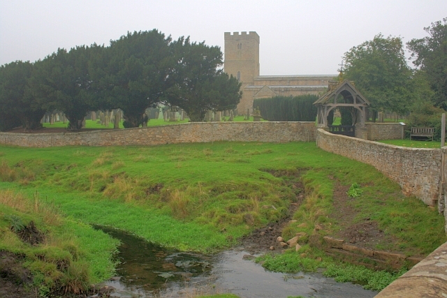
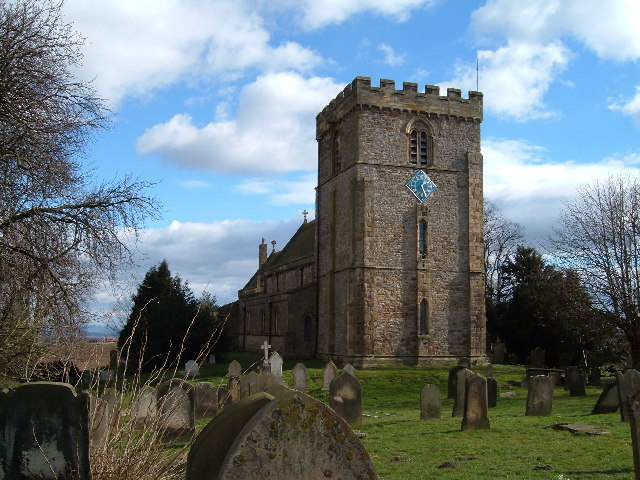
The village boasts a rich history that dates back to the Roman period, as evidenced by the discovery of Roman remains nearby. Today, visitors can still see remnants of the village's past, including the 12th-century St Andrew's Church, which is a Grade I listed building. The church is renowned for its stunning stained glass windows and intricate architectural details.
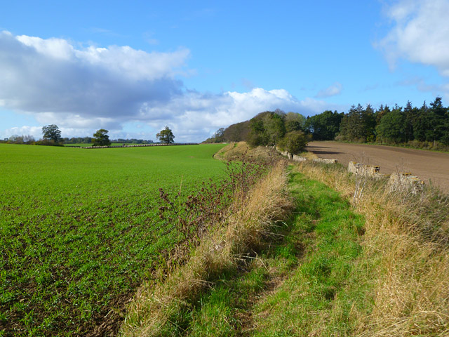
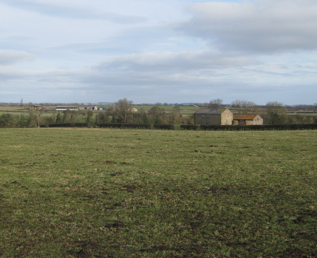
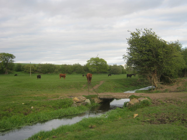
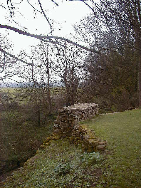
Aldbrough St John is surrounded by idyllic countryside, making it a haven for outdoor enthusiasts. The village is a popular starting point for scenic walks and bike rides through the picturesque Yorkshire Dales. The nearby River Swale offers opportunities for fishing and boating, while the surrounding fields and woodlands provide ample space for nature walks and birdwatching.
The village is home to a primary school, a village hall, and a pub, providing essential amenities for residents and visitors alike. The local community is known for its warm and welcoming nature, often hosting events and gatherings to celebrate village life.
Overall, Aldbrough St John offers a tranquil escape from the hustle and bustle of city life, showcasing the natural beauty and rich heritage of the Yorkshire countryside.
If you have any feedback on the listing, please let us know in the comments section below.
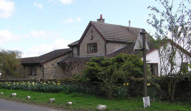
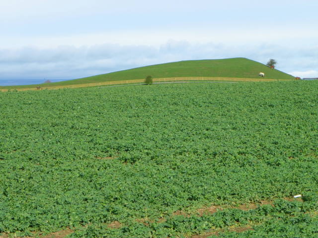
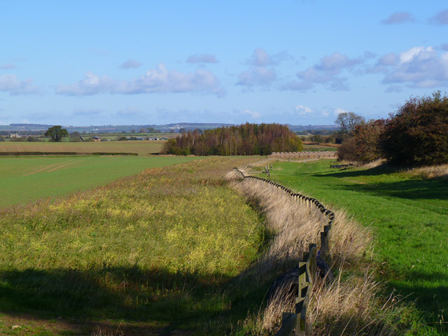
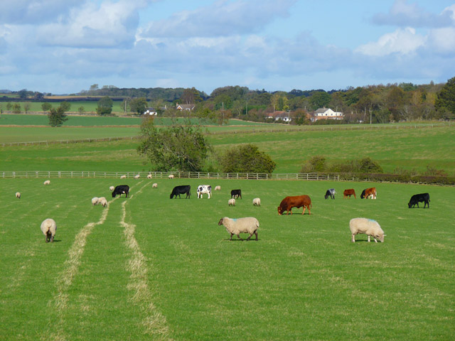
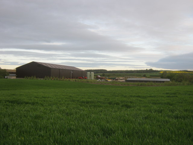
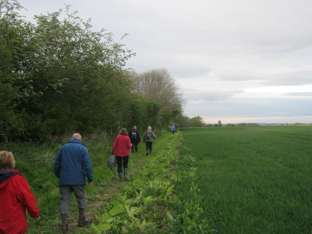
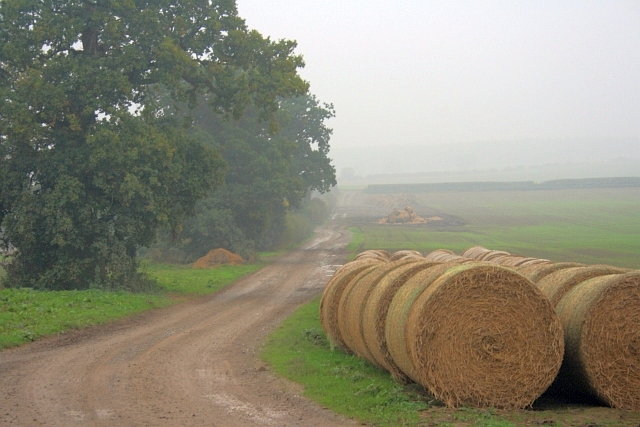
Aldbrough St John Images
Images are sourced within 2km of 54.497621/-1.687092 or Grid Reference NZ2011. Thanks to Geograph Open Source API. All images are credited.


Aldbrough St John is located at Grid Ref: NZ2011 (Lat: 54.497621, Lng: -1.687092)
Division: North Riding
Administrative County: North Yorkshire
District: Richmondshire
Police Authority: North Yorkshire
What 3 Words
///blunt.clef.yield. Near High Coniscliffe, Co. Durham
Nearby Locations
Related Wikis

Aldbrough St John
Aldbrough St John is a village and civil parish (called just Aldbrough) in the Richmondshire district in North Yorkshire, England. The parish has a population...

Stanwick St John
Stanwick St John is a village, civil parish, former manor and ecclesiastical parish in the Richmondshire district of North Yorkshire, (formerly "North...

Stanwick Park
Stanwick Park (also known as Stanwick Hall) was a Palladian country house at Stanwick St John in North Yorkshire, England. == History == It was re-built...
St John the Baptist's Church, Stanwick
St John the Baptist's Church is a redundant Anglican church in the village of Stanwick St John, North Yorkshire, England. It is recorded in the National...
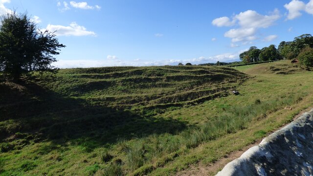
Stanwick Iron Age Fortifications
Stanwick Iron Age Fortifications (also known as 'Stanwick Camp'), a huge Iron Age hill fort, sometimes but not always considered an oppidum, comprising...

Manfield
Manfield is a village and civil parish in the Richmondshire district of North Yorkshire, England. It is a parish in the wapentake of Gilling East. The...
St James' Church, Melsonby
St James' Church is in the village of Melsonby, North Yorkshire, England. It is an Anglican parish church in the deanery of Richmond, the archdeaconry...

Melsonby
Melsonby is a village and civil parish in the Richmondshire district of North Yorkshire, England. It lies a 1.2 miles (2 km) west of the A1(M) motorway...
Nearby Amenities
Located within 500m of 54.497621,-1.687092Have you been to Aldbrough St John?
Leave your review of Aldbrough St John below (or comments, questions and feedback).